Brimscombe and Thrupp
Civil Parish in Gloucestershire Stroud
England
Brimscombe and Thrupp
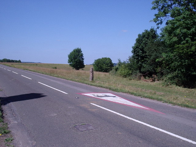
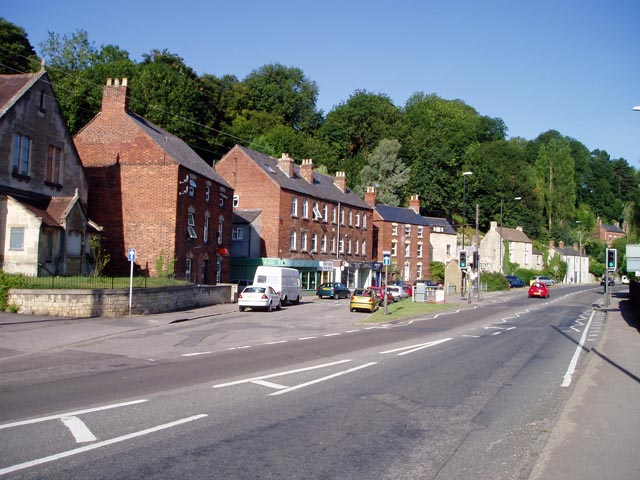
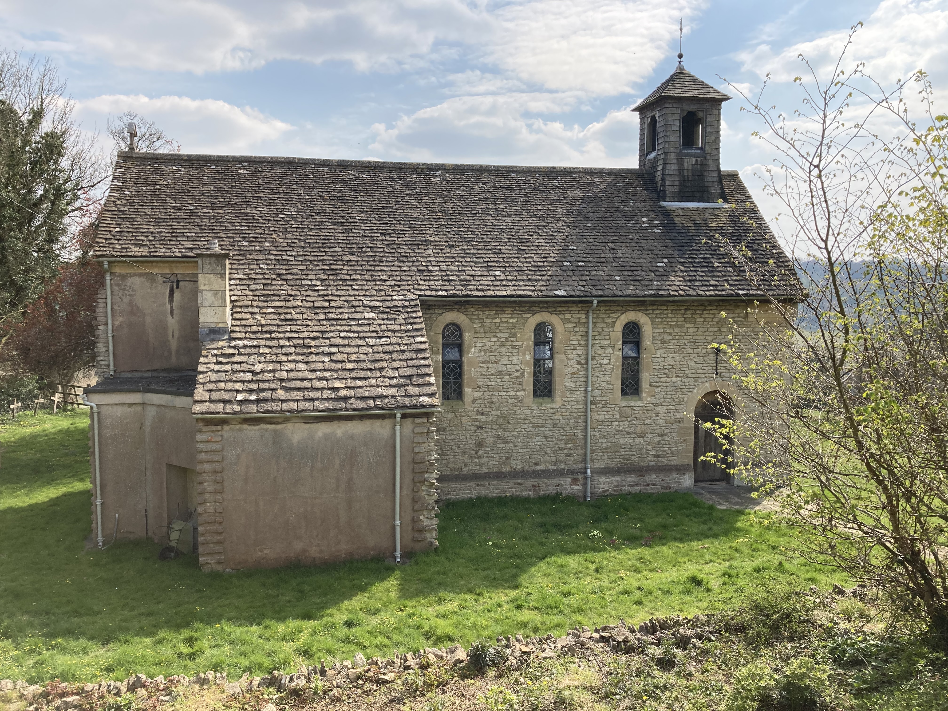
Brimscombe and Thrupp is a civil parish located in the county of Gloucestershire, England. Situated in the Stroud District, it is nestled in the picturesque Cotswold Hills, offering stunning natural beauty and a charming rural atmosphere. The parish covers an area of approximately 2.7 square miles and is home to a population of around 2,500 residents.
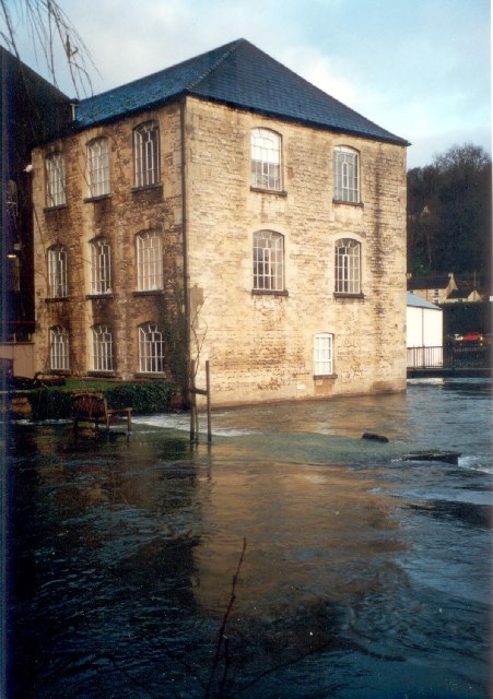
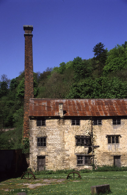
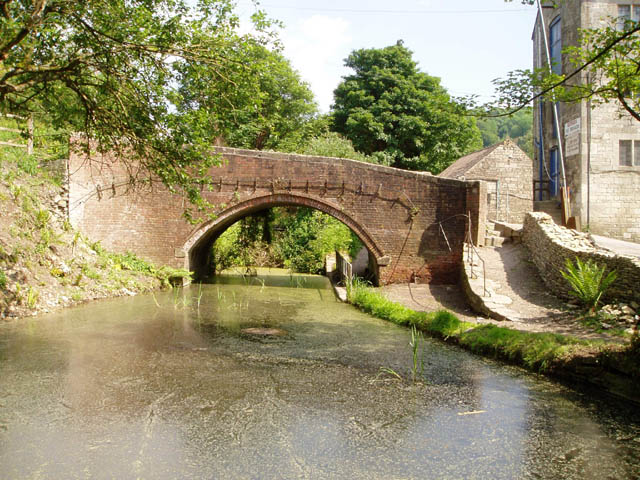
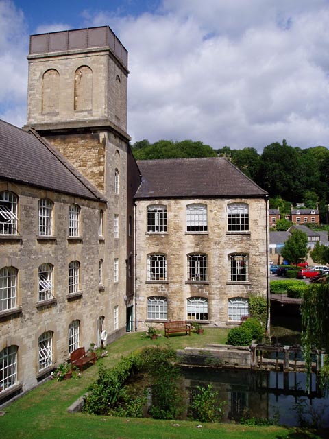
Historically, Brimscombe and Thrupp were separate villages, but over time they have merged together to form one cohesive community. The area has a rich industrial heritage, with its roots dating back to the 18th century. Brimscombe Port, located on the Stroudwater Canal, played a significant role in the transportation of goods and materials during the Industrial Revolution.
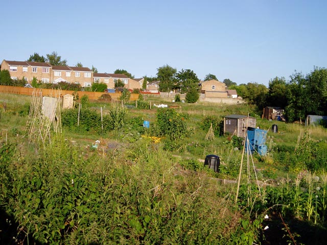
Today, Brimscombe and Thrupp offer a mix of residential, industrial, and agricultural areas. The village is known for its quaint cottages, traditional pubs, and friendly community spirit. It boasts a number of amenities, including a primary school, village hall, and local shops, catering to the needs of its residents.
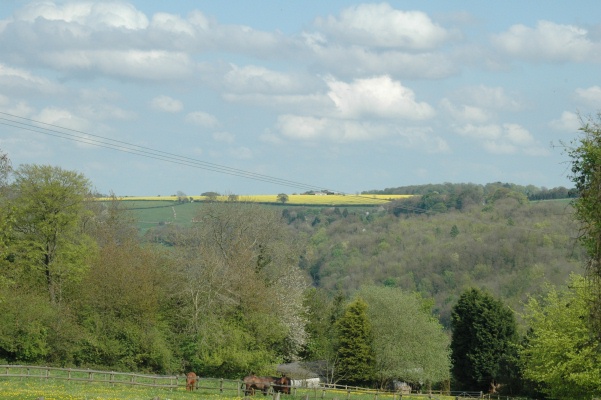
The surrounding countryside provides ample opportunities for outdoor activities, with scenic walking trails and picturesque views. The Cotswold Way, a famous long-distance footpath, passes through the parish, attracting hikers and nature enthusiasts from far and wide.
Overall, Brimscombe and Thrupp is a charming village with a rich history, a strong sense of community, and a stunning natural landscape, making it an attractive place to live or visit in Gloucestershire.
If you have any feedback on the listing, please let us know in the comments section below.
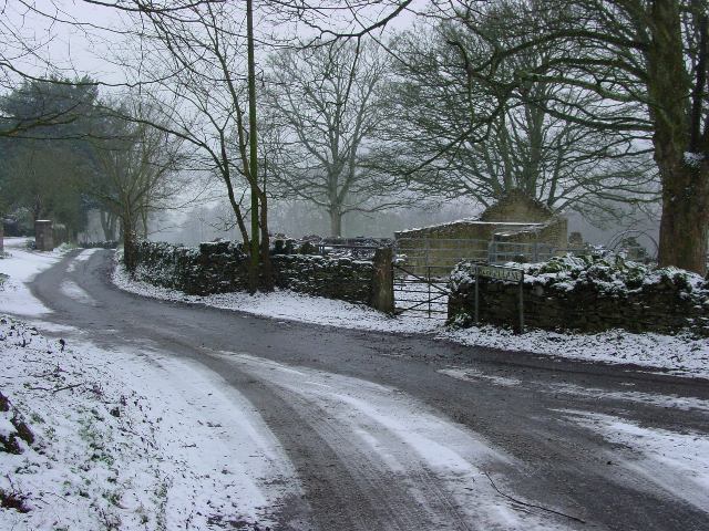
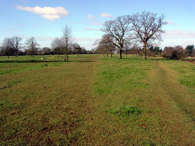
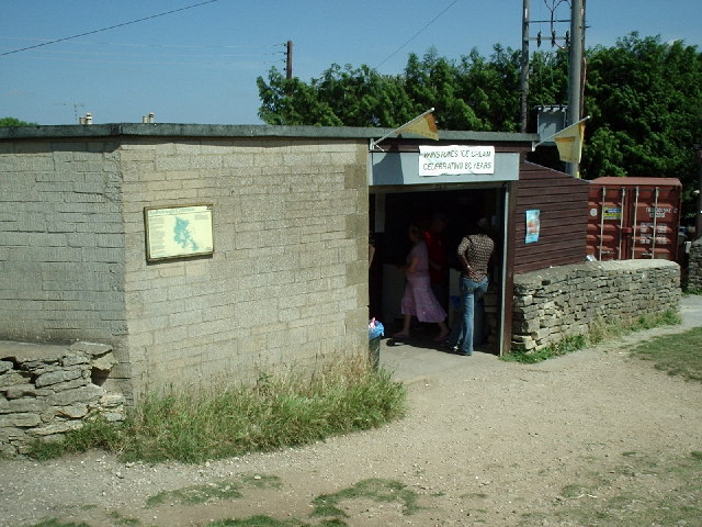
Brimscombe and Thrupp Images
Images are sourced within 2km of 51.728003/-2.189409 or Grid Reference SO8703. Thanks to Geograph Open Source API. All images are credited.


Brimscombe and Thrupp is located at Grid Ref: SO8703 (Lat: 51.728003, Lng: -2.189409)
Administrative County: Gloucestershire
District: Stroud
Police Authority: Gloucestershire
What 3 Words
///helpers.dote.certainly. Near Brimscombe, Gloucestershire
Nearby Locations
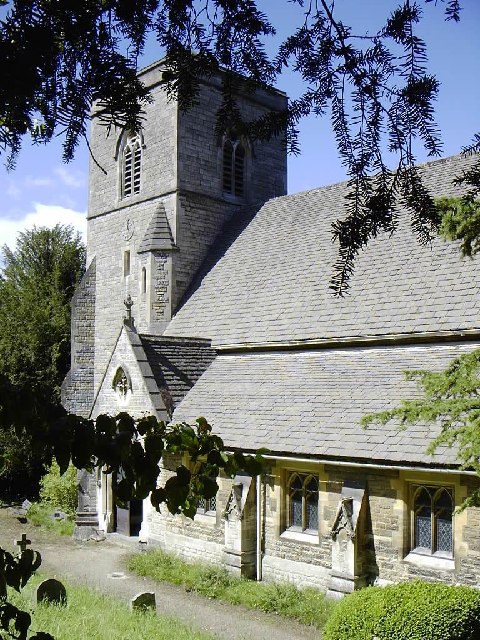
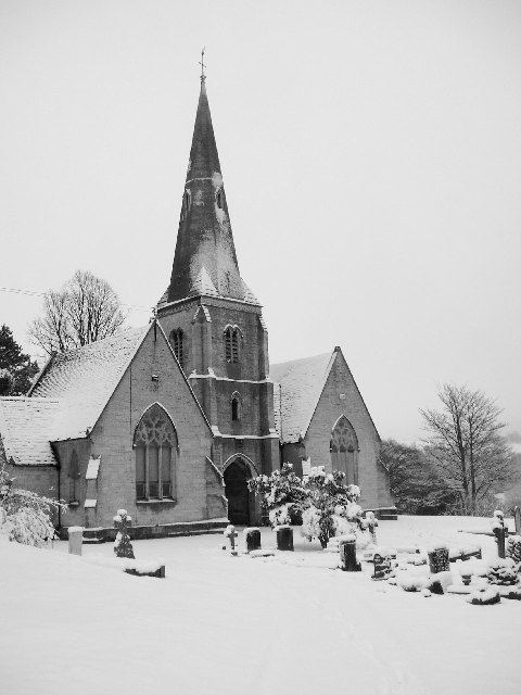
Related Wikis

Nether Lypiatt Manor
Nether Lypiatt Manor is a compact, neo-Classical manor house in the mainly rural parish of Thrupp, near Stroud in Gloucestershire. It was formerly the...
Brimscombe and Thrupp
Brimscombe and Thrupp (grid reference SO862032) is a civil parish made up of the villages of Thrupp and Brimscombe, in the narrow Frome Valley slightly...
Brimscombe & Thrupp F.C.
Brimscombe and Thrupp Football Club is a football club based in Brimscombe, Gloucestershire, England. Affiliated to the Gloucestershire County FA, they...

Ham Mill Halt railway station
Ham Mill Halt was opened on 12 October 1903 on what is now the Golden Valley Line between Kemble and Stroud. This line was opened in 1845 as the Cheltenham...
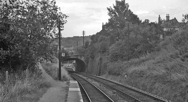
Brimscombe Bridge Halt railway station
Brimscombe Bridge Halt was opened on 1 February 1904 on what is now the Golden Valley Line between Kemble and Stroud. This line was opened in 1845 as the...
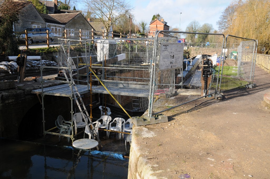
Bowbridge
Bowbridge is a village in Gloucestershire, England, on the outskirts of Stroud. Bowbridge Lock on the Thames and Severn Canal is in the process of restoration...
St Mary of the Angels Church, Brownshill
St Mary of the Angels Church is located to the south of the village of Brownshill in the parish of Chalford, Gloucestershire, England. It is a redundant...

Brimscombe railway station
Brimscombe was opened on 1 June 1845 on what is now the Golden Valley Line between Kemble and Stroud in Gloucestershire. This line was opened in 1845 as...
Nearby Amenities
Located within 500m of 51.728003,-2.189409Have you been to Brimscombe and Thrupp?
Leave your review of Brimscombe and Thrupp below (or comments, questions and feedback).