Mackhouse Wood
Wood, Forest in Gloucestershire Stroud
England
Mackhouse Wood
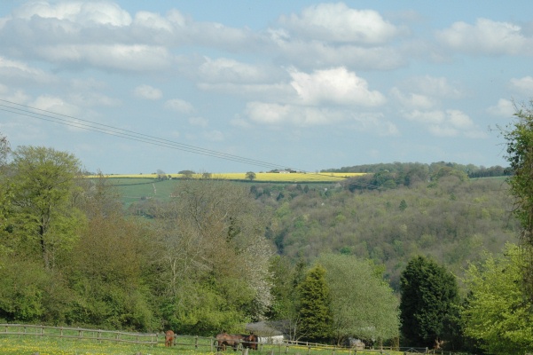
Mackhouse Wood is a picturesque woodland located in Gloucestershire, England. Situated on the edge of the Forest of Dean, it is a popular destination for nature enthusiasts and hikers alike. Covering an area of approximately 100 hectares, the wood is home to a diverse range of plant and animal species.
The woodland is predominantly composed of deciduous trees, including oak, beech, and ash, which create a dense canopy that provides shelter and habitat for various wildlife. Visitors can expect to encounter a variety of bird species, such as woodpeckers, jays, and tawny owls, as well as small mammals like squirrels and deer.
Mackhouse Wood offers several well-maintained walking trails, allowing visitors to explore the natural beauty of the area. The paths wind through the ancient woodland, passing by tranquil streams, wildflower meadows, and moss-covered rocks. The wood also features a designated picnic area, providing a perfect spot for visitors to relax and enjoy the peaceful ambiance.
In addition to its natural beauty, Mackhouse Wood has historical significance. The area was once used for charcoal production during the Iron Age, and remnants of the charcoal pits can still be seen today. This adds an intriguing layer of cultural heritage to the woodland, offering visitors a glimpse into the past.
Overall, Mackhouse Wood in Gloucestershire is a delightful destination for those seeking a tranquil escape into nature. With its diverse flora and fauna, picturesque trails, and historical remnants, it offers a unique and immersive experience for all who visit.
If you have any feedback on the listing, please let us know in the comments section below.
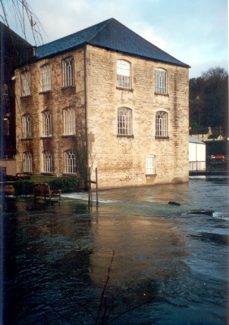
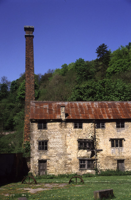
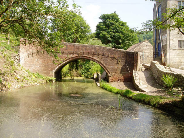
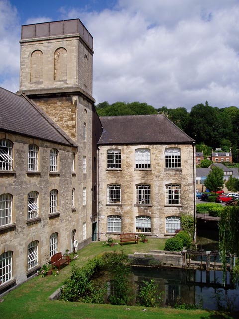
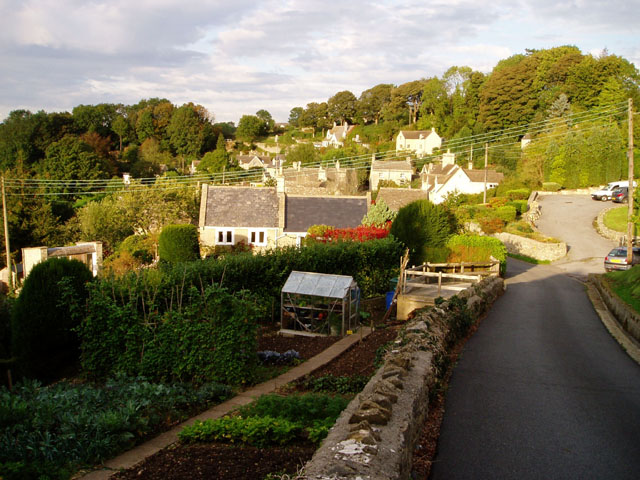
Mackhouse Wood Images
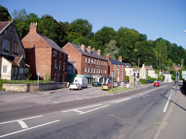
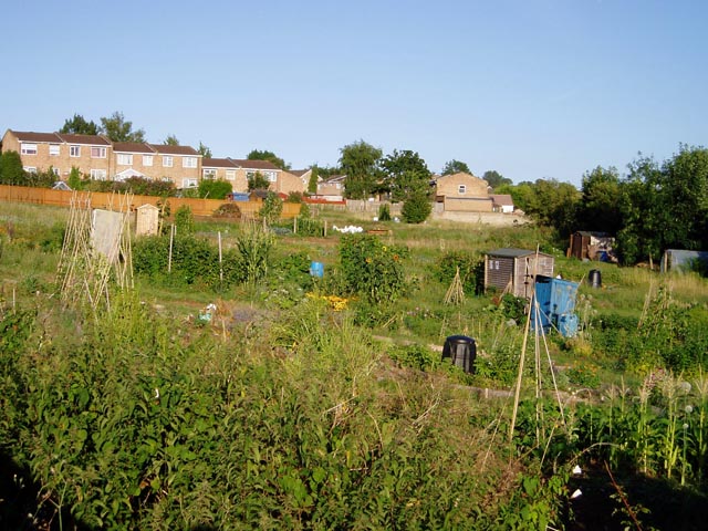
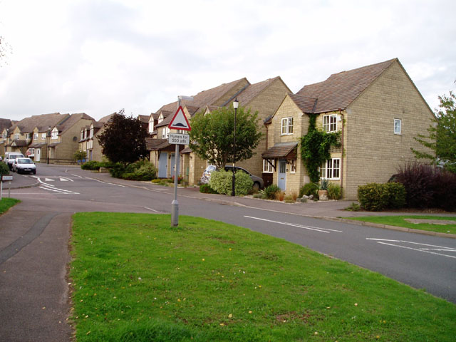
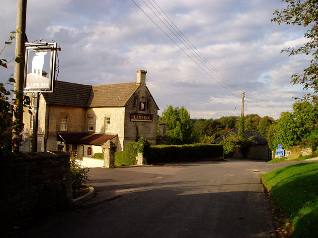
Images are sourced within 2km of 51.73199/-2.180892 or Grid Reference SO8703. Thanks to Geograph Open Source API. All images are credited.


Mackhouse Wood is located at Grid Ref: SO8703 (Lat: 51.73199, Lng: -2.180892)
Administrative County: Gloucestershire
District: Stroud
Police Authority: Gloucestershire
What 3 Words
///occupations.lipstick.employer. Near Brimscombe, Gloucestershire
Nearby Locations
Related Wikis
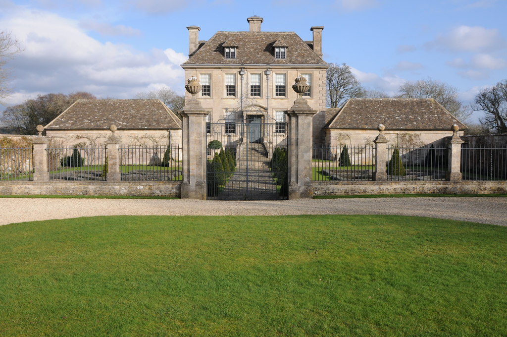
Nether Lypiatt Manor
Nether Lypiatt Manor is a compact, neo-Classical manor house in the mainly rural parish of Thrupp, near Stroud in Gloucestershire. It was formerly the...
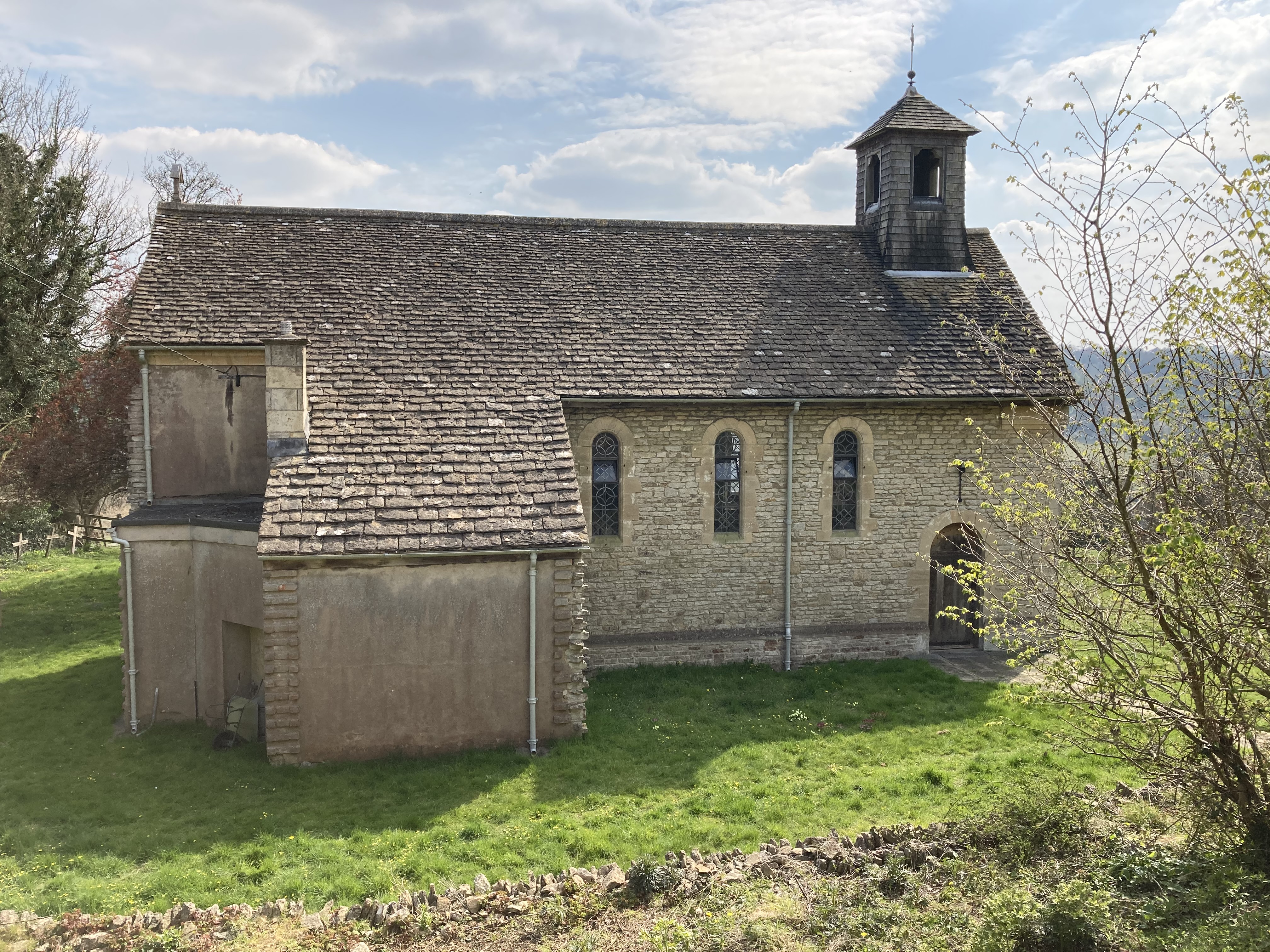
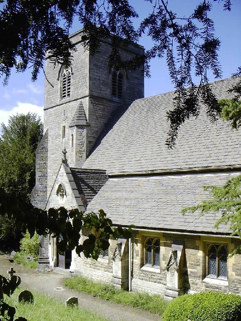
St Mary of the Angels Church, Brownshill
St Mary of the Angels Church is located to the south of the village of Brownshill in the parish of Chalford, Gloucestershire, England. It is a redundant...

Brimscombe and Thrupp
Brimscombe and Thrupp (grid reference SO862032) is a civil parish made up of the villages of Thrupp and Brimscombe, in the narrow Frome Valley slightly...

Thomas Keble School
Thomas Keble School is a mixed secondary school located in Eastcombe in the English county of Gloucestershire. The school is named after Thomas Keble,...
Nearby Amenities
Located within 500m of 51.73199,-2.180892Have you been to Mackhouse Wood?
Leave your review of Mackhouse Wood below (or comments, questions and feedback).