Nether Lypiatt Manor
Heritage Site in Gloucestershire Stroud
England
Nether Lypiatt Manor
Nether Lypiatt Manor is a historic property located in Gloucestershire, England. It is a Grade I listed building and is known for its architectural significance and historical importance. The manor dates back to the 16th century, although the current structure largely reflects the alterations made in the 18th century.
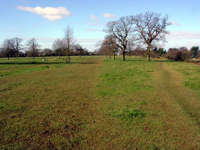
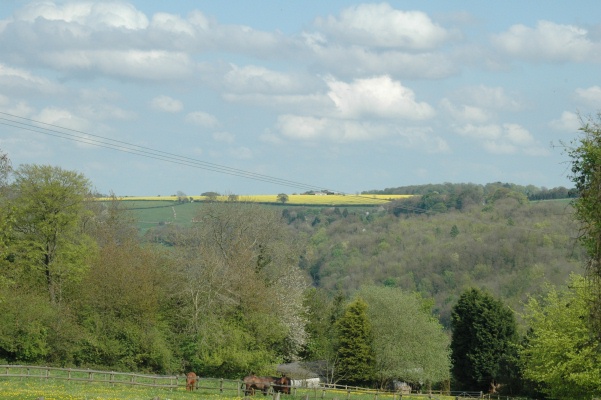
The manor is situated within a picturesque landscape and is surrounded by well-manicured gardens and parkland. The building itself is constructed of Cotswold stone and features a symmetrical façade with large sash windows and a central entrance portico.
Throughout its history, Nether Lypiatt Manor has been associated with notable figures and events. It was originally owned by the Marling family, who were prominent wool merchants. The manor later became the residence of the Holford family, who were influential in the development of the surrounding area.
During the 20th century, Nether Lypiatt Manor gained further significance as the home of the Prince and Princess of Wales, Charles and Diana. The couple resided in the manor during the early years of their marriage.
Today, Nether Lypiatt Manor is considered a significant heritage site and is open to the public for guided tours and events. Visitors can explore the magnificent interiors, which showcase period features such as ornate plasterwork, grand fireplaces, and elegant furnishings. The manor's gardens are also a highlight, featuring formal lawns, herbaceous borders, and a tranquil lake.
Overall, Nether Lypiatt Manor is a cherished piece of Gloucestershire's heritage, offering visitors a glimpse into its rich history and architectural beauty.
If you have any feedback on the listing, please let us know in the comments section below.
Nether Lypiatt Manor Images
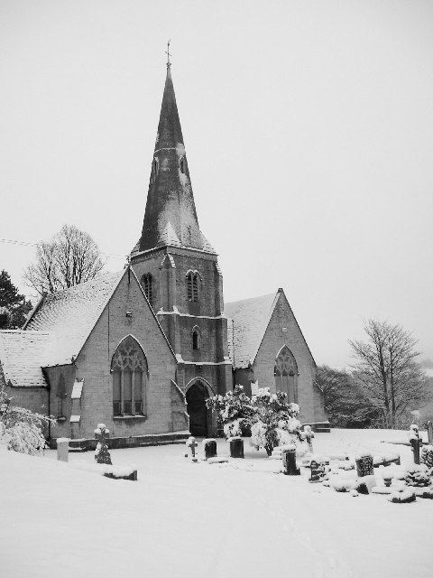
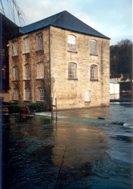
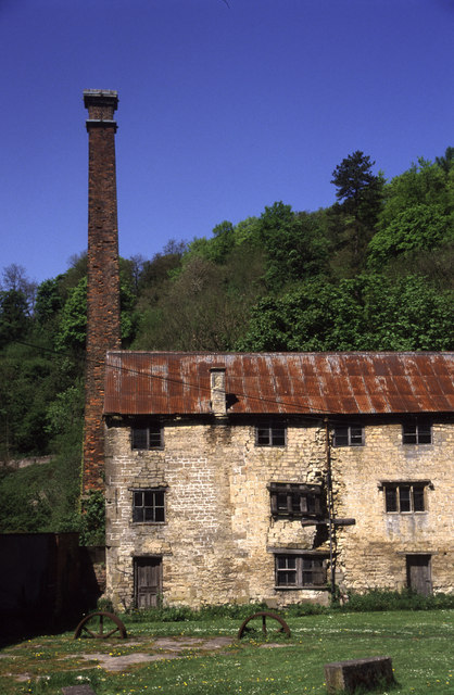
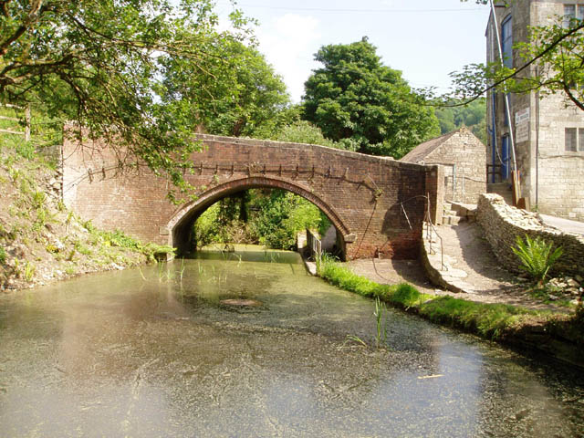
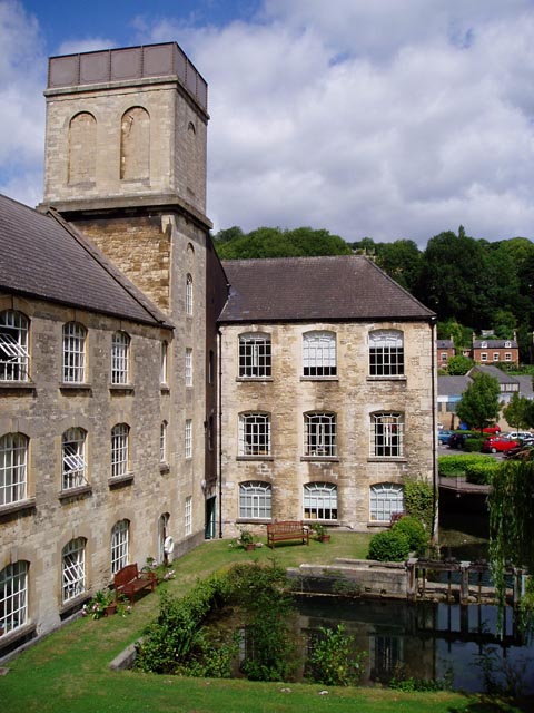
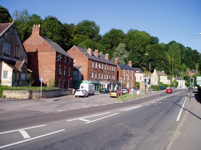
Images are sourced within 2km of 51.73/-2.182 or Grid Reference SO8703. Thanks to Geograph Open Source API. All images are credited.


Nether Lypiatt Manor is located at Grid Ref: SO8703 (Lat: 51.73, Lng: -2.182)
Administrative County: Gloucestershire
District: Stroud
Police Authority: Gloucestershire
What 3 Words
///outbursts.outbursts.micro. Near Brimscombe, Gloucestershire
Nearby Locations
Related Wikis

Nether Lypiatt Manor
Nether Lypiatt Manor is a compact, neo-Classical manor house in the mainly rural parish of Thrupp, near Stroud in Gloucestershire. It was formerly the...
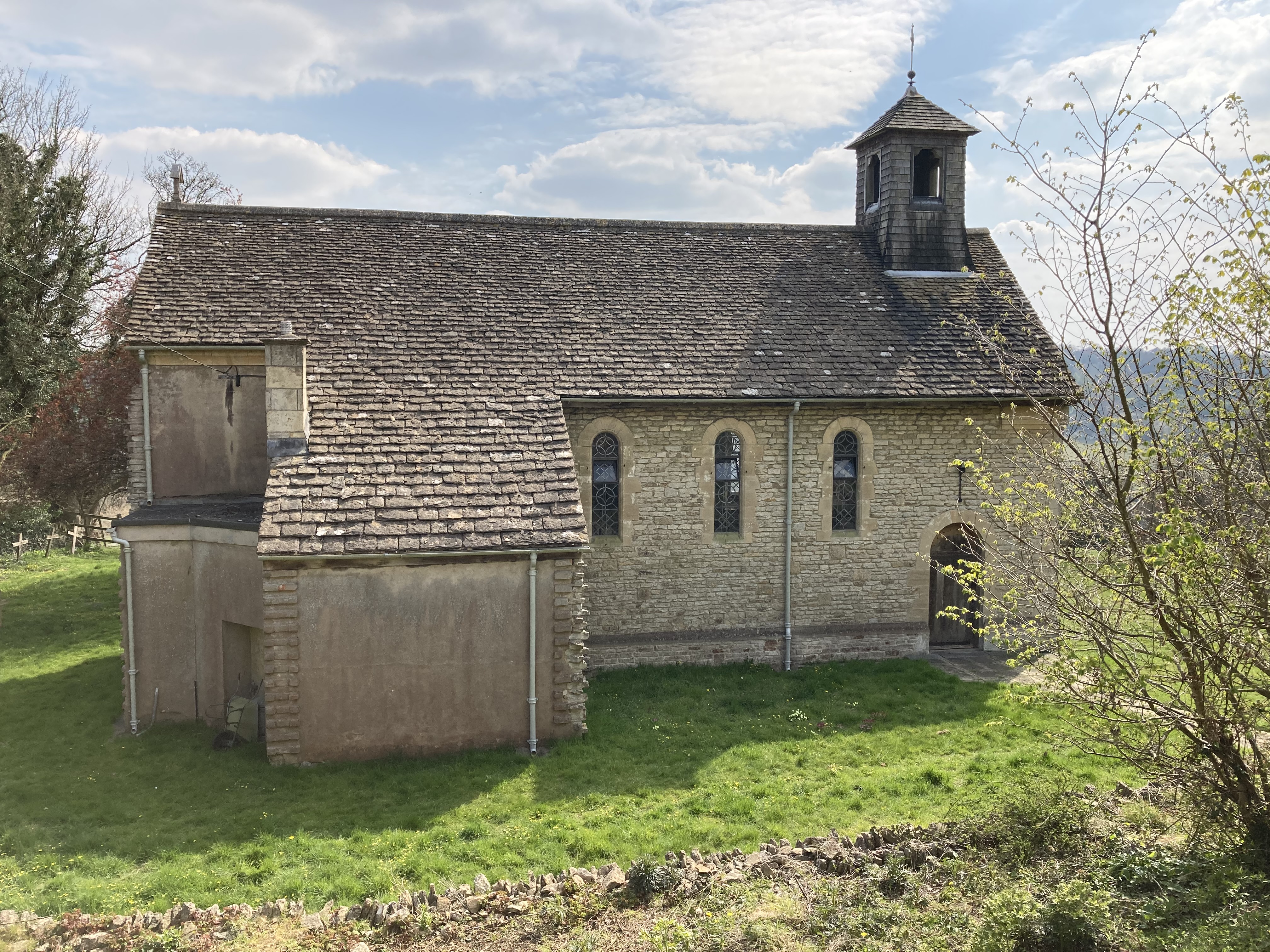
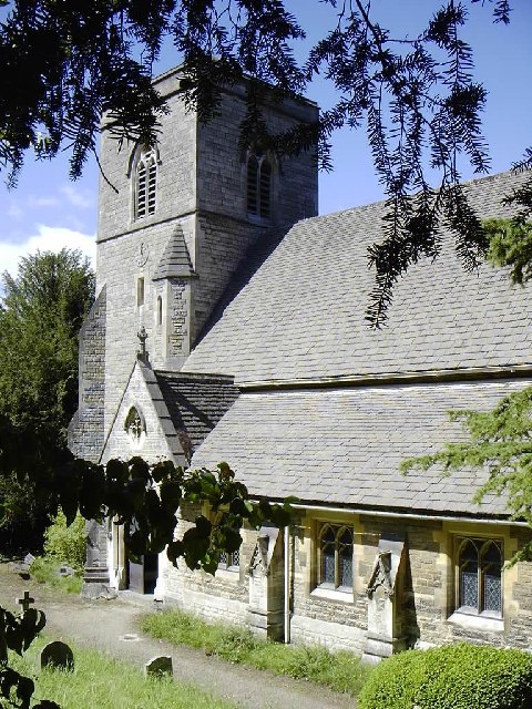
St Mary of the Angels Church, Brownshill
St Mary of the Angels Church is located to the south of the village of Brownshill in the parish of Chalford, Gloucestershire, England. It is a redundant...
Brimscombe & Thrupp F.C.
Brimscombe and Thrupp Football Club is a football club based in Brimscombe, Gloucestershire, England. Affiliated to the Gloucestershire County FA, they...
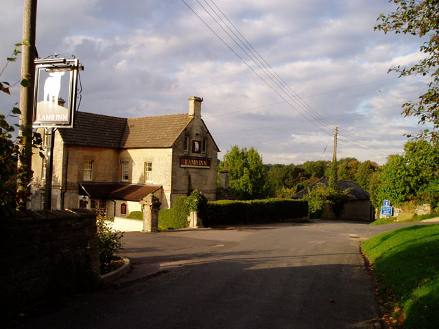
Brimscombe and Thrupp
Brimscombe and Thrupp (grid reference SO862032) is a civil parish made up of the villages of Thrupp and Brimscombe, in the narrow Frome Valley slightly...

Bussage
Bussage is a village in Gloucestershire, England in the district of Stroud. == Geography == There is an older part to the village and a newer part. The...

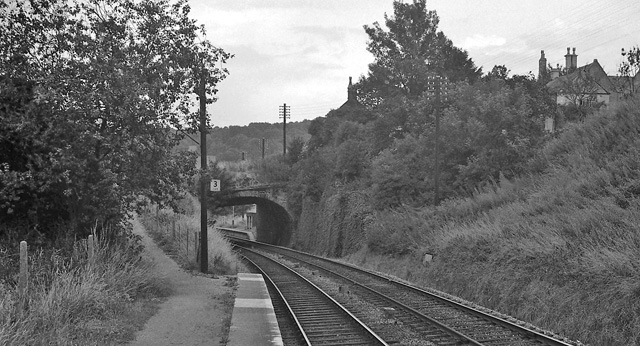
Brimscombe railway station
Brimscombe was opened on 1 June 1845 on what is now the Golden Valley Line between Kemble and Stroud in Gloucestershire. This line was opened in 1845 as...
Brimscombe Bridge Halt railway station
Brimscombe Bridge Halt was opened on 1 February 1904 on what is now the Golden Valley Line between Kemble and Stroud. This line was opened in 1845 as the...

St Mary's Crossing Halt railway station
St Mary's Crossing Halt was opened on 12 October 1903 on what is now the Golden Valley Line between Kemble and Stroud. This line was opened in 1845 as...
Nearby Amenities
Located within 500m of 51.73,-2.182Have you been to Nether Lypiatt Manor?
Leave your review of Nether Lypiatt Manor below (or comments, questions and feedback).