Hale's Grove

Wood, Forest in Gloucestershire Stroud

England

Hale's Grove

Taken near Brownshill looking SE across the Golden Valley Brownshill, Bussage and Eastcombe sit on the Cotswold Hills above the Golden and Toadsmoor valleys. The villages sit on the side of the valleys while horses and fields of rape populate the tops of the hills.
Taken near Brownshill looking SE across the Golden Valley Credit: Andy Phillips

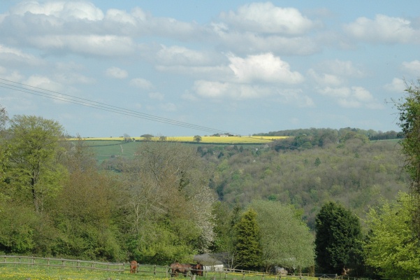
Hale's Grove is a picturesque woodland located in Gloucestershire, England. Situated in the heart of the Forest of Dean, it covers an area of approximately 50 acres and is renowned for its natural beauty and diverse range of flora and fauna.

The grove is predominantly made up of native broadleaf trees, such as oak, beech, and ash, creating a dense canopy that provides a tranquil and peaceful atmosphere. The forest floor is carpeted with wildflowers, ferns, and mosses, adding to the enchanting ambiance of the woodland.

Visitors can explore Hale's Grove through a network of well-maintained footpaths and trails that wind their way through the trees. These paths are suitable for walkers of all abilities and offer a chance to immerse oneself in the serene surroundings. The grove is a popular destination for nature enthusiasts, hikers, and photography enthusiasts who come to capture the beauty of the woodland.

Wildlife is abundant in Hale's Grove, with numerous species calling it their home. Birdwatchers can spot a variety of feathered friends, including woodpeckers, owls, and warblers. Squirrels, deer, and foxes are also frequently spotted, adding to the allure of the grove.

Throughout the year, Hale's Grove offers a changing scenery, with vibrant autumn foliage, delicate spring blossoms, and lush greenery in the summer. It is a haven for those seeking solace in nature and a place where one can truly appreciate the wonders of the natural world.

If you have any feedback on the listing, please let us know in the comments section below.
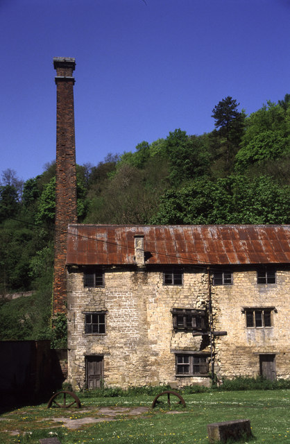
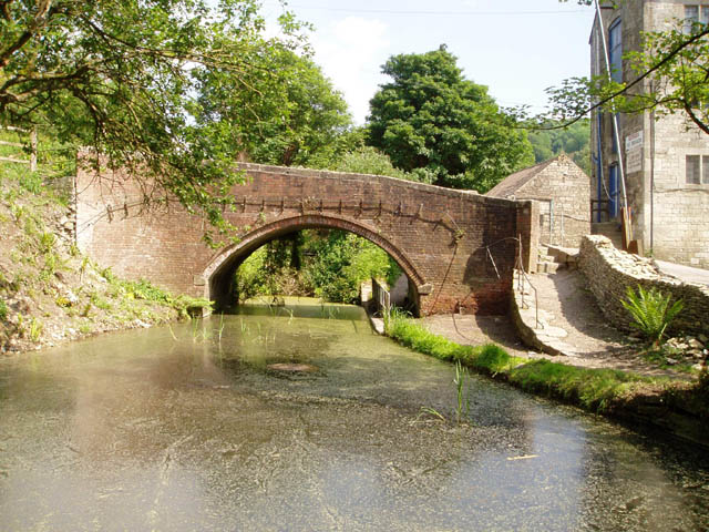
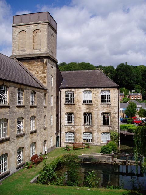
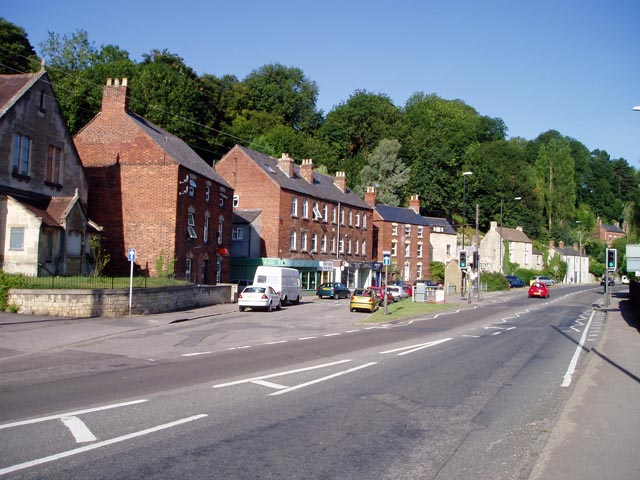
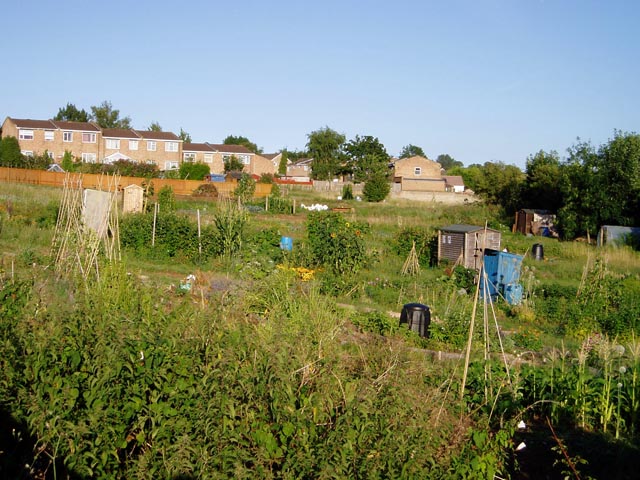
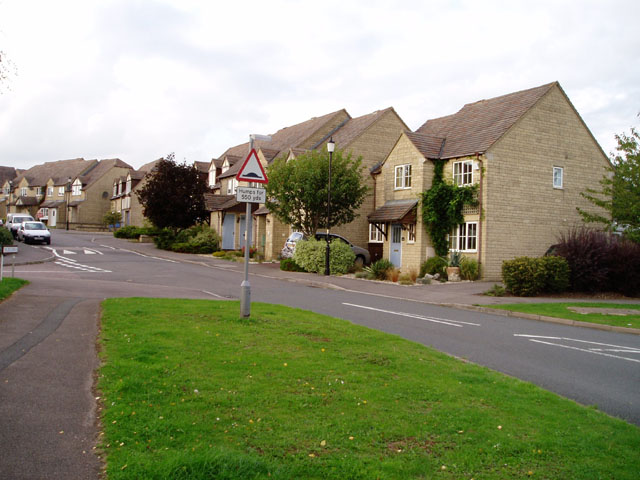
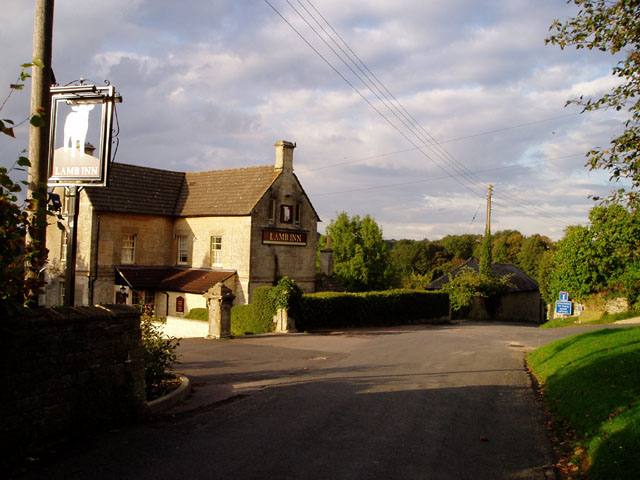
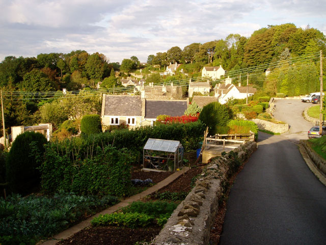
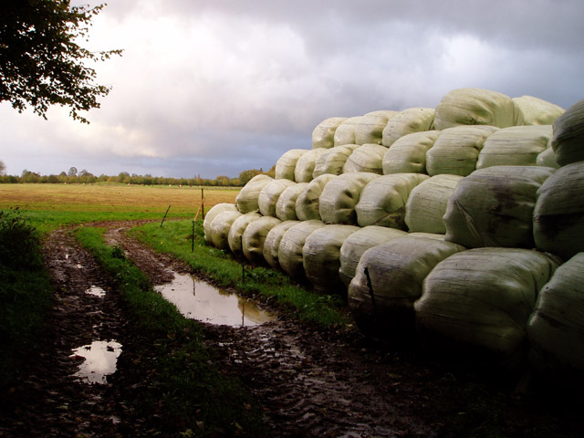
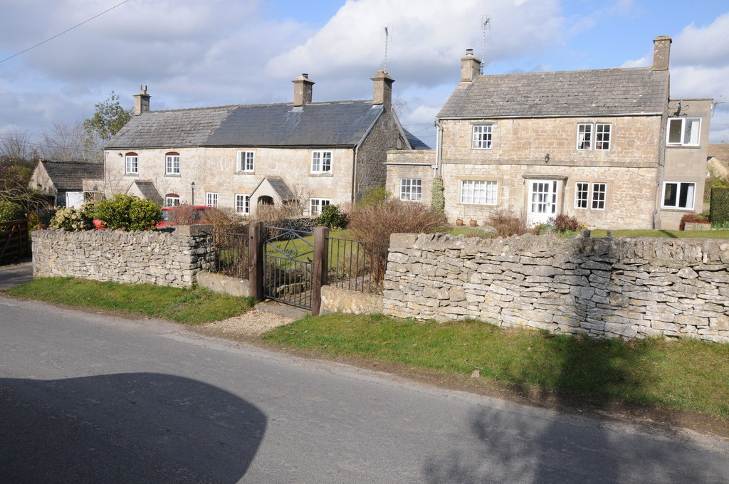
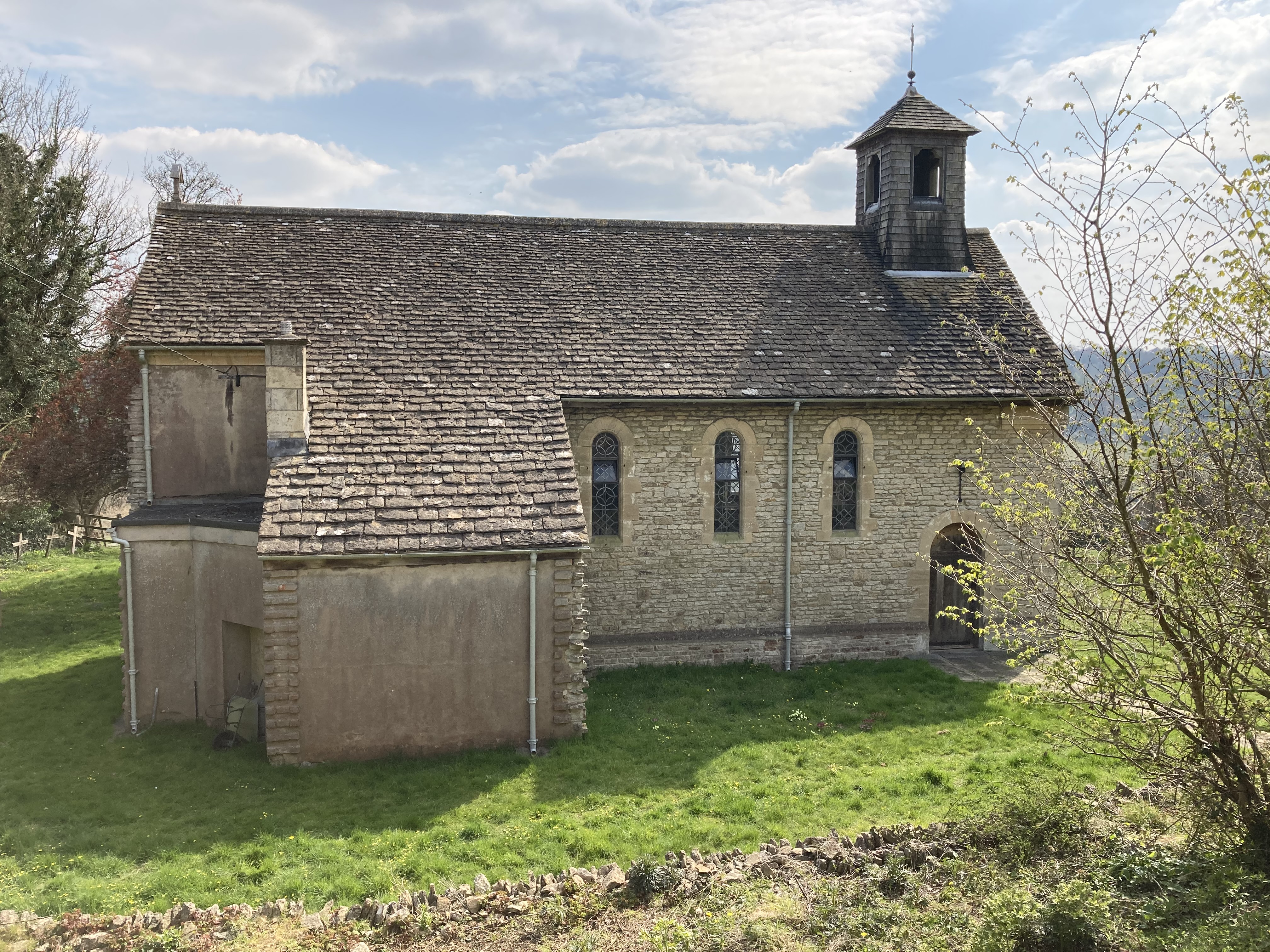
Hale's Grove Images

Images are sourced within 2km of 51.733864/-2.178684 or Grid Reference SO8703. Thanks to Geograph Open Source API. All images are credited.

Taken near Brownshill looking SE across the Golden Valley Brownshill, Bussage and Eastcombe sit on the Cotswold Hills above the Golden and Toadsmoor valleys. The villages sit on the side of the valleys while horses and fields of rape populate the tops of the hills.
Taken near Brownshill looking SE across the Golden Valley
Brownshill, Bussage and Eastcombe sit on the Cotswold Hills above the Golden and Toadsmoor valleys. The villages sit on the side of the valleys while horses and fields of rape populate the tops of the hills.
Toadsmoor Valley Cotswolds; note colour of stone in the house
Toadsmoor Valley
Cotswolds; note colour of stone in the house
Bussage (Glos) St Michael's Church
Thrupp (Glos) Tin Church The grid reference is a bit of a guess as the modern map shows no church and the Geograph 1940s map is unclear but this spot appears to have a church symbol! Not long for this world it seems.
Thrupp (Glos) Tin Church
The grid reference is a bit of a guess as the modern map shows no church and the Geograph 1940s map is unclear but this spot appears to have a church symbol! Not long for this world it seems.
Stroud Town Cemetery Chapel, Bisley Road, Stroud Taken after an unseasonal snowfall in March
Stroud Town Cemetery Chapel, Bisley Road, Stroud
Taken after an unseasonal snowfall in March
Brimscombe Mill This is the highest I have ever seen the Frome. The bench on the left should be on an island between the millrace and the weir, but is now in the middle of the river! The ground floor of the mill was flooded.
Brimscombe Mill
This is the highest I have ever seen the Frome. The bench on the left should be on an island between the millrace and the weir, but is now in the middle of the river! The ground floor of the mill was flooded.
St Mary's Mill, Chalford Former walking stick manufactory. Home to a steam engine and a water wheel. Open to the public very occasionally.
St Mary's Mill, Chalford
Former walking stick manufactory. Home to a steam engine and a water wheel. Open to the public very occasionally.
Thames and Severn Canal at Brimscombe This is a very short watered section of the canal, which is either filled in or drained on either side. The building on the right is a former mill which I think is being converted into housing.
Thames and Severn Canal at Brimscombe
This is a very short watered section of the canal, which is either filled in or drained on either side. The building on the right is a former mill which I think is being converted into housing.
Nether Lypiatt Manor The former country seat of Prince and Princess Michael of Kent.
Nether Lypiatt Manor
The former country seat of Prince and Princess Michael of Kent.
Middle Lypiatt A fairly sizeable country house, though not as big as the nearby Lypiatt Park or Nether Lypiatt.
Middle Lypiatt
A fairly sizeable country house, though not as big as the nearby Lypiatt Park or Nether Lypiatt.
Brimscombe Mill Another view of the mill, with the water at a more normal level. The building has now been converted into offices.
Brimscombe Mill
Another view of the mill, with the water at a more normal level. The building has now been converted into offices.
Brimscombe village shops The small village of Brimscombe boasts a post office, general store, chippie and antique shop, all clustered together in this row of houses. It looks as if the main road used to go past their doors and was subsequently straightened out.
Brimscombe village shops
The small village of Brimscombe boasts a post office, general store, chippie and antique shop, all clustered together in this row of houses. It looks as if the main road used to go past their doors and was subsequently straightened out.
Trig point and radio mast above Stroud Two structures taking advantage of the prominent ridge rising to the east of Stroud. The Bisley road, from which the photo was taken, also uses the ridge to gain the Cotswold plateau, where progress is easier than in the steep and narrow valleys
Trig point and radio mast above Stroud
Two structures taking advantage of the prominent ridge rising to the east of Stroud. The Bisley road, from which the photo was taken, also uses the ridge to gain the Cotswold plateau, where progress is easier than in the steep and narrow valleys
Bisley Old Road Allotments, Stroud One of a number of allotments in Stroud, sandwiched between post-WW2 housing developments.
Bisley Old Road Allotments, Stroud
One of a number of allotments in Stroud, sandwiched between post-WW2 housing developments.
New housing estate, Bussage This large estate can only have been built in the last few years: it straddles the edges of two Landranger maps, and is marked on sheet 163 but not on the latest edition of 162. This street is called The Old Common.
New housing estate, Bussage
This large estate can only have been built in the last few years: it straddles the edges of two Landranger maps, and is marked on sheet 163 but not on the latest edition of 162. This street is called The Old Common.
The Lamb Inn, Eastcombe Part of the small old centre of Eastcombe, at the bottom of the village green. In common with nearly all buildings of its period in the area, the pub is built of golden Cotswold limestone.
The Lamb Inn, Eastcombe
Part of the small old centre of Eastcombe, at the bottom of the village green. In common with nearly all buildings of its period in the area, the pub is built of golden Cotswold limestone.
Over the rooftops, Eastcombe Eastcombe is perched on the very edge of the Cotswold plateau. On the left the ground drops steeply to the Toadsmoor Valley, one of the Five Valleys of Stroud.
Over the rooftops, Eastcombe
Eastcombe is perched on the very edge of the Cotswold plateau. On the left the ground drops steeply to the Toadsmoor Valley, one of the Five Valleys of Stroud.
Bales of silage, Lyppiat Park Silage in the farmland above Stroud, protected from the day's showery weather by copious amounts of green plastic.
Bales of silage, Lyppiat Park
Silage in the farmland above Stroud, protected from the day's showery weather by copious amounts of green plastic.
Show me another place!

Hale's Grove is located at Grid Ref: SO8703 (Lat: 51.733864, Lng: -2.178684)

Administrative County: Gloucestershire

District: Stroud

Police Authority: Gloucestershire

What 3 Words

///teeth.file.escapades. Near Brimscombe, Gloucestershire

Related Wikis

Nether Lypiatt Manor

Nether Lypiatt Manor is a compact, neo-Classical manor house in the mainly rural parish of Thrupp, near Stroud in Gloucestershire. It was formerly the...

Thomas Keble School

Thomas Keble School is a mixed secondary school located in Eastcombe in the English county of Gloucestershire. The school is named after Thomas Keble,...

Eastcombe, Gloucestershire

Eastcombe is a village in Stroud District in Gloucestershire, England. The Parish Church is called Eastcombe: St Augustine and served the parish of Bussage...

St Mary of the Angels Church, Brownshill

St Mary of the Angels Church is located to the south of the village of Brownshill in the parish of Chalford, Gloucestershire, England. It is a redundant...

Bussage

Bussage is a village in Gloucestershire, England in the district of Stroud. == Geography == There is an older part to the village and a newer part. The...

Brimscombe and Thrupp

Brimscombe and Thrupp (grid reference SO862032) is a civil parish made up of the villages of Thrupp and Brimscombe, in the narrow Frome Valley slightly...

Brimscombe & Thrupp F.C.

Brimscombe and Thrupp Football Club is a football club based in Brimscombe, Gloucestershire, England. Affiliated to the Gloucestershire County FA, they...

St Mary's Crossing Halt railway station

St Mary's Crossing Halt was opened on 12 October 1903 on what is now the Golden Valley Line between Kemble and Stroud. This line was opened in 1845 as...

Nearby Amenities

Located within 500m of 51.733864,-2.178684
Traffic Signals
Lat/Long: 51.7310576/-2.1748717
Traffic Signals
Lat/Long: 51.7336269/-2.1739511
Barrier: cattle_grid
Lat/Long: 51.7335794/-2.1843962
Bus Stop
Vatch Lane Garage
Naptan AtcoCode: 1600GLS611
Naptan Bearing: NE
Naptan CommonName: Vatch Lane Garage
Naptan NaptanCode: glodjtad
Naptan PlusbusZoneRef: STRUD
Naptan Street: Vatch Lane
Naptan Verified: no
Source: naptan_import
Lat/Long: 51.7333479/-2.1742165
Bus Stop
Vatch Lane Garage
Naptan AtcoCode: 1600GLS612
Naptan Bearing: SW
Naptan CommonName: Vatch Lane Garage
Naptan NaptanCode: glodjtag
Naptan PlusbusZoneRef: STRUD
Naptan Street: Vatch Lane
Naptan Verified: no
Source: naptan_import
Lat/Long: 51.7332491/-2.1741727
Barrier: stile
Lat/Long: 51.7326846/-2.1730369
Traffic Signals
Lat/Long: 51.7332457/-2.1742213
Natural: spring
Lat/Long: 51.732713/-2.1720379
Power: pole
Lat/Long: 51.733613/-2.1723542
Power: pole
Lat/Long: 51.7339982/-2.1737873
Ford: yes
Lat/Long: 51.7326881/-2.1721556
Ford: yes
Lat/Long: 51.73259/-2.1729992
Ford: yes
Lat/Long: 51.7364105/-2.1751852
Ford: yes
Lat/Long: 51.7375093/-2.176482
The data included in this document is from www.openstreetmap.org. The data is made available under ODbL.

Have you been to Hale's Grove?

Leave your review of Hale's Grove below (or comments, questions and feedback).