Nether Haresceugh

Heritage Site in Cumberland Eden

England

Nether Haresceugh

Country lane at Howscales A sunny October morning with hedgerow trees turning colour. Beyond the crop fields one can see the distinctive outline of Blencathra in the distance.
Country lane at Howscales Credit: Gordon Hatton

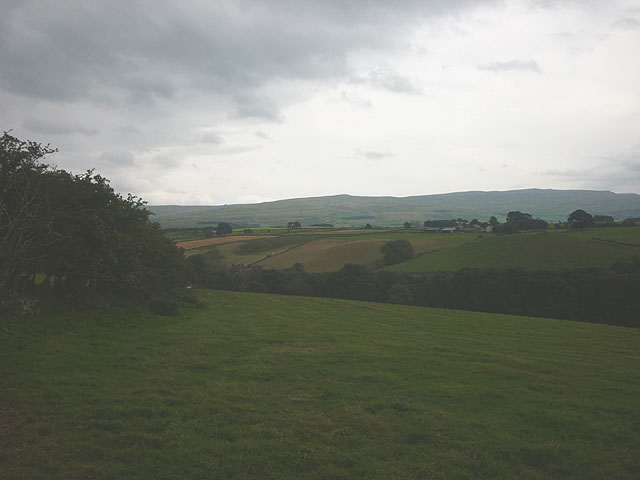
Nether Haresceugh is a historic heritage site located in the region of Cumberland, England. The site holds great significance due to its rich history and cultural heritage. Situated in a picturesque rural area, Nether Haresceugh is surrounded by breathtaking natural beauty.

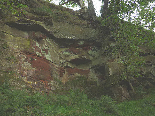
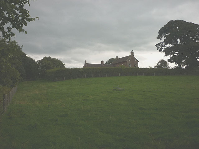
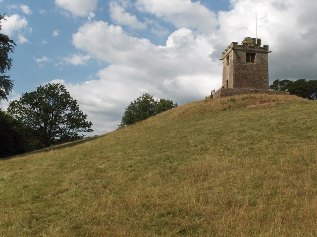
The site is known for its ancient remains, including a medieval tower house and a 17th-century farmhouse. The tower house, dating back to the 14th century, stands as a testament to the architectural craftsmanship of the period. It was once used as a fortified residence and offers a glimpse into the past with its well-preserved features.

The 17th-century farmhouse, built adjacent to the tower house, provides insight into the rural lifestyle of that era. Its traditional architecture and original interior features create an authentic atmosphere, allowing visitors to step back in time and experience the daily life of the people who lived there.

Nether Haresceugh is also renowned for its beautiful gardens and grounds. The site boasts stunning landscapes, including manicured lawns, vibrant flowerbeds, and a variety of trees and shrubs. These carefully designed gardens offer a tranquil escape and provide a perfect setting for leisurely walks and picnics.

Today, Nether Haresceugh is open to the public, allowing visitors to explore the historic buildings and immerse themselves in the site's fascinating history. It serves as a valuable educational resource, offering guided tours and educational programs to promote an appreciation for the region's heritage.

In conclusion, Nether Haresceugh in Cumberland is a remarkable heritage site that preserves and showcases the region's rich history and cultural heritage. Its medieval tower house, 17th-century farmhouse, and beautiful gardens provide a captivating glimpse into the past, making it a must-visit destination for history enthusiasts and nature lovers alike.

If you have any feedback on the listing, please let us know in the comments section below.

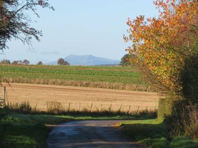
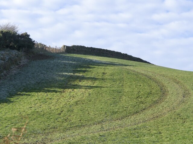
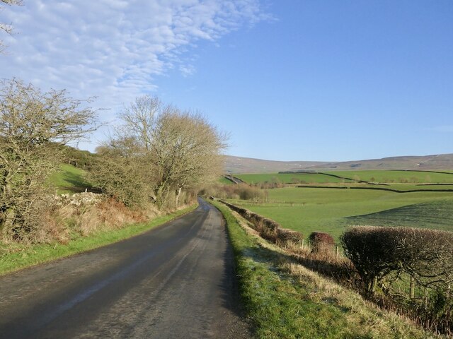
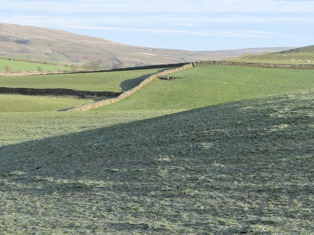
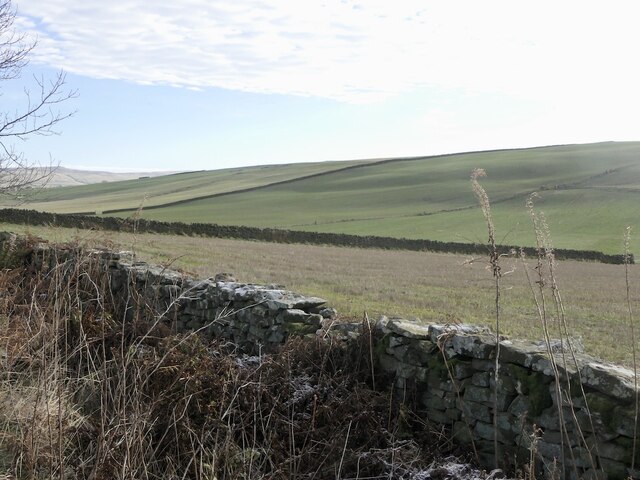
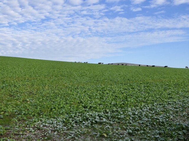
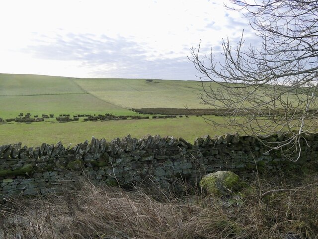
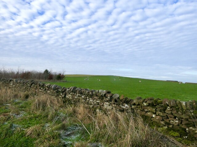
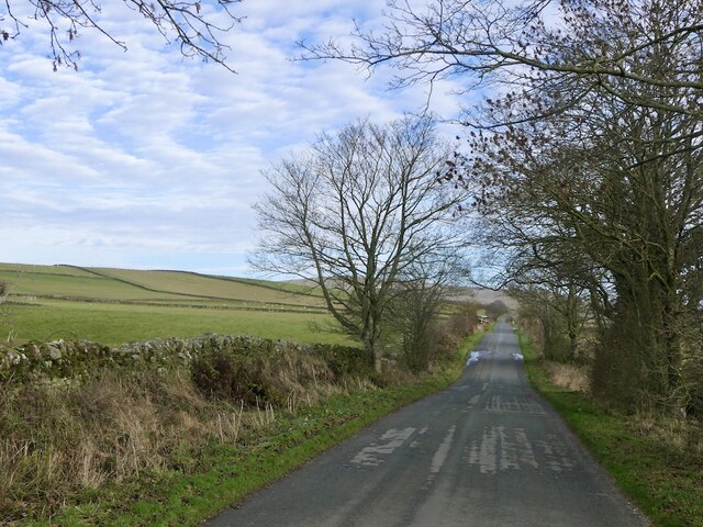
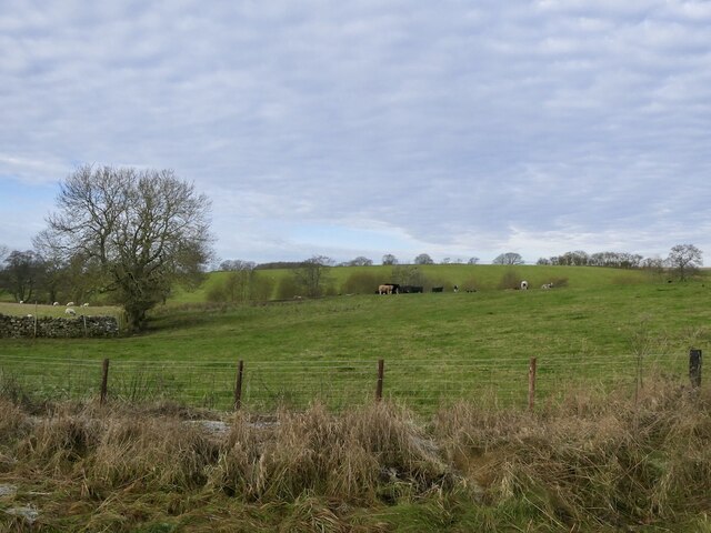
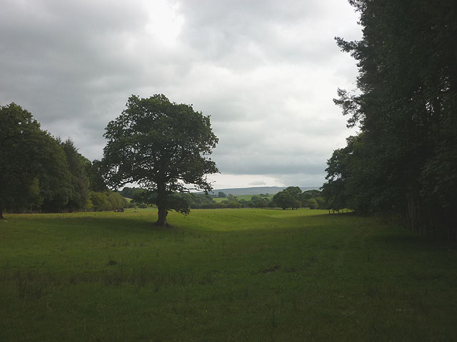
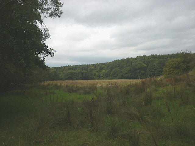
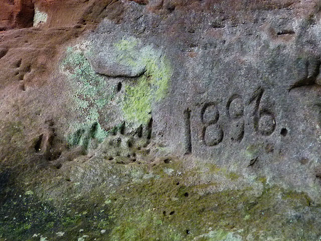
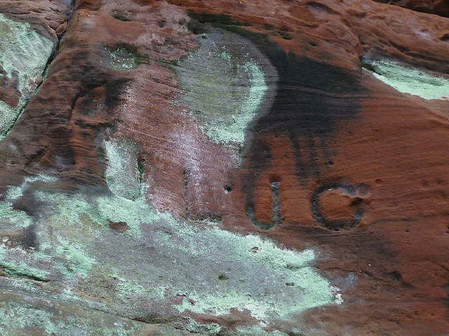
Nether Haresceugh Images

Images are sourced within 2km of 54.775/-2.66 or Grid Reference NY5742. Thanks to Geograph Open Source API. All images are credited.

Country lane at Howscales A sunny October morning with hedgerow trees turning colour. Beyond the crop fields one can see the distinctive outline of Blencathra in the distance.
Country lane at Howscales
A sunny October morning with hedgerow trees turning colour. Beyond the crop fields one can see the distinctive outline of Blencathra in the distance.
Whin Fell
Whin Fell
B6413, Whin Fell
B6413, Whin Fell
Frosted grass, Blunderstone
Scales Moor
Scales Moor
Cattle on Winter pasture A root crop by the looks of it. They had not been in there long.
Cattle on Winter pasture
A root crop by the looks of it. They had not been in there long.
Scales Moor
Scales Moor
Scales Rigg
Scales Rigg
Long straight road, Scales
Grazing cattle, High Bankhill
Pastureland north of Raven Beck At this point the beckside path breaks out of Black Plain Wood and into open grassland.
Pastureland north of Raven Beck
At this point the beckside path breaks out of Black Plain Wood and into open grassland.
Pastureland north of Raven Beck Looking back through open grassland towards Black Plain Wood.
Pastureland north of Raven Beck
Looking back through open grassland towards Black Plain Wood.
Disused quarry by Raven Beck A small working of soft red sandstone beside the beck. Most likely dating to Victorian times judging by the graffiti carved on the walls.
Disused quarry by Raven Beck
A small working of soft red sandstone beside the beck. Most likely dating to Victorian times judging by the graffiti carved on the walls.
Graffiti in disused quarry by Raven Beck The carved year '1896' on the wall of <a href="https://www.geograph.org.uk/photo/5529535">NY5841 : Disused quarry by Raven Beck</a>.
Graffiti in disused quarry by Raven Beck
The carved year '1896' on the wall of NY5841 : Disused quarry by Raven Beck.
Graffiti in disused quarry by Raven Beck (2) This could be a pair of initials: 'JL' and 'JO' (or 'JC' or 'JG'?) carved on the face of <a href="https://www.geograph.org.uk/photo/5529535">NY5841 : Disused quarry by Raven Beck</a>.
Graffiti in disused quarry by Raven Beck (2)
This could be a pair of initials: 'JL' and 'JO' (or 'JC' or 'JG'?) carved on the face of NY5841 : Disused quarry by Raven Beck.
Footpath above Raven Beck Climbing out of the valley by Park Head.
Footpath above Raven Beck
Climbing out of the valley by Park Head.
Footpath at Nether Haresceugh Heading down towards the valley of Raven Beck.
Footpath at Nether Haresceugh
Heading down towards the valley of Raven Beck.
The B6413 heading for Kirkoswald
Show me another place!

Nether Haresceugh is located at Grid Ref: NY5742 (Lat: 54.775, Lng: -2.66)

Administrative County: Cumbria

District: Eden

Police Authority: Cumbria

What 3 Words

///shaves.headlines.corner. Near Penrith, Cumbria

Related Wikis

Kirkoswald Castle

Kirkoswald Castle is located to the southeast of the village of Kirkoswald, Cumbria, England. It is built from Penrith red sandstone and is still partially...

Renwick, Cumbria

Renwick, formerly known as Ravenwick, is a small village and former civil parish, now in the parish of Kirkoswald, in the Eden district, in the county...

Kirkoswald, Cumbria

Kirkoswald is a village, civil parish, and former market town located in Westmorland and Furness, England, about 9 miles (14 km) from Penrith. The village...

Staffield

Staffield is a hamlet and former civil parish 12 miles (19 km) from Carlisle, now in the parish of Kirkoswald, in the Eden district, in the county of Cumbria...

Nearby Amenities

Located within 500m of 54.775,-2.66
Scales Hall Road End (E bound)
Local Ref: AT
Naptan AtcoCode: 090074361317
Naptan Bearing: E
Naptan BusStopType: CUS
Naptan CommonName: Scales Hall Road End (E bound)
Naptan Indicator: at
Naptan Landmark: Scales Hall Road End
Naptan NaptanCode: cumdamtm
Naptan Street: No name
Naptan Verified: no
Source: naptan_import
Lat/Long: 54.7781452/-2.6636753
Scales Hall Road End (W bound)
Naptan AtcoCode: 090074363770
Naptan Bearing: SW
Naptan BusStopType: CUS
Naptan CommonName: Scales Hall Road End (W bound)
Naptan Indicator: opp
Naptan Landmark: Scales Hall Road End
Naptan NaptanCode: cumdamwm
Naptan Street: No name
Naptan Verified: no
Source: naptan_import
Lat/Long: 54.778056/-2.663565
Power: pole
Lat/Long: 54.7778855/-2.6644188
Power: pole
Lat/Long: 54.7772265/-2.6633443
Power: pole
Lat/Long: 54.7764512/-2.662053
Power: pole
Lat/Long: 54.7754896/-2.6610038
Power: pole
Lat/Long: 54.7745237/-2.6599748
Power: pole
Lat/Long: 54.7735679/-2.6589911
Power: pole
Lat/Long: 54.772871/-2.6582295
The data included in this document is from www.openstreetmap.org. The data is made available under ODbL.

Have you been to Nether Haresceugh?

Leave your review of Nether Haresceugh below (or comments, questions and feedback).