Scales
Settlement in Cumberland Eden
England
Scales
Scales is a small village located in the district of Allerdale, in the county of Cumbria, England. Situated in the beautiful Lake District National Park, Scales is surrounded by breathtaking landscapes, making it a popular destination for nature enthusiasts and outdoor adventurers.
The village is set at the foot of the imposing Blencathra mountain, which dominates the skyline with its majestic peaks. The area offers numerous opportunities for hiking, climbing, and exploring the rugged terrain. Scales is also home to the picturesque Scales Tarn, a tranquil lake nestled amidst rolling hills, providing a scenic spot for picnicking or simply enjoying the peaceful ambiance.
Despite its small size, Scales boasts a rich history. The village was once an important stop along the old coaching route between Penrith and Keswick, and remnants of this past can still be seen today. There are several traditional stone buildings, including a charming 18th-century inn that has been serving travelers for centuries.
Being within close proximity to the bustling towns of Keswick and Penrith, Scales offers a peaceful retreat while still providing easy access to amenities and services. Visitors can find a range of accommodation options, from cozy bed and breakfasts to self-catering cottages, ensuring a comfortable stay in this idyllic countryside setting.
In summary, Scales is a picturesque village situated in the heart of the Lake District National Park. With its stunning natural surroundings, rich history, and convenient location, it is a destination that appeals to both outdoor enthusiasts and those seeking a tranquil countryside getaway.
If you have any feedback on the listing, please let us know in the comments section below.
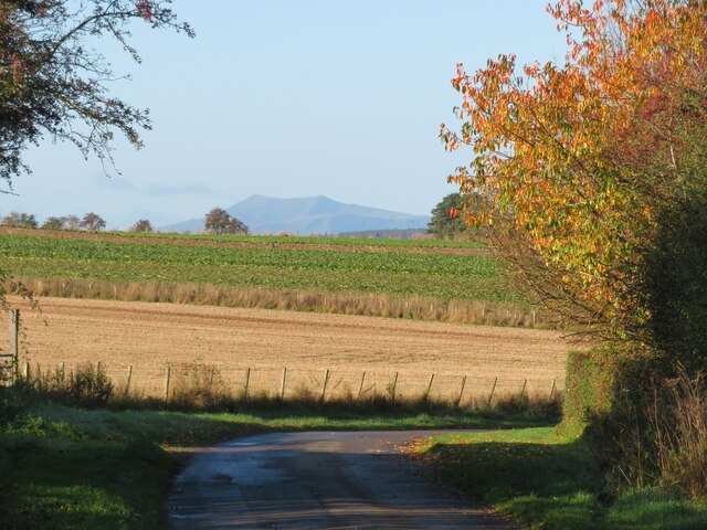
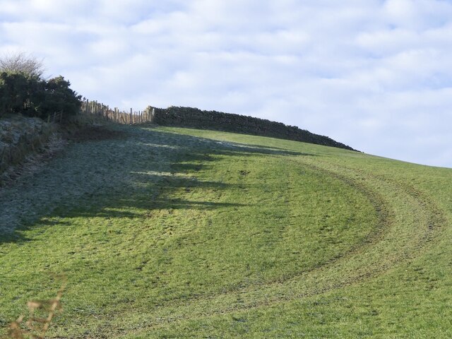
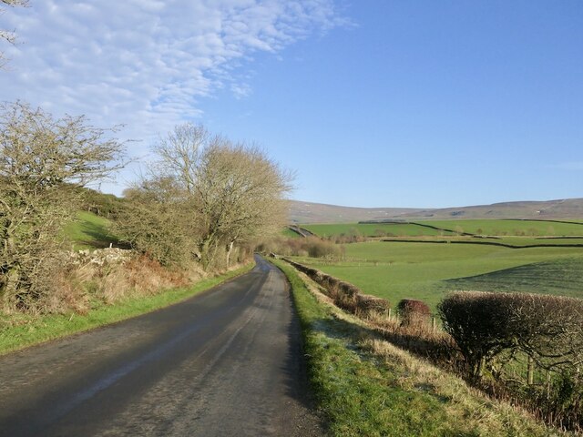
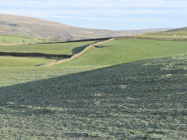
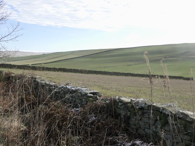
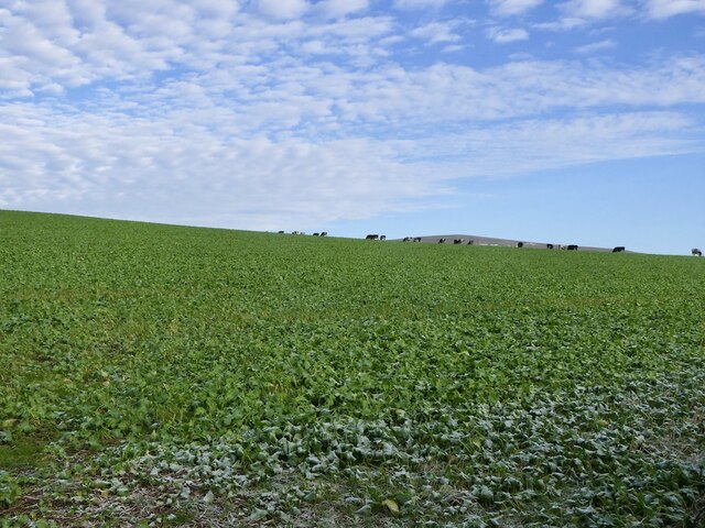
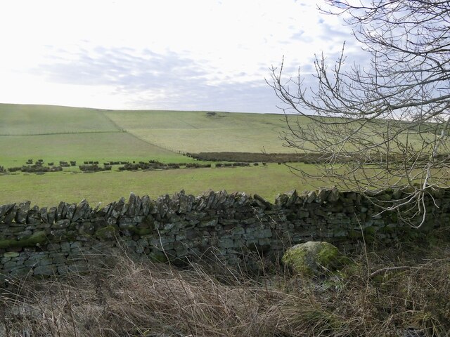
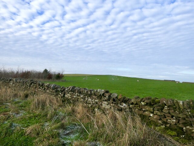
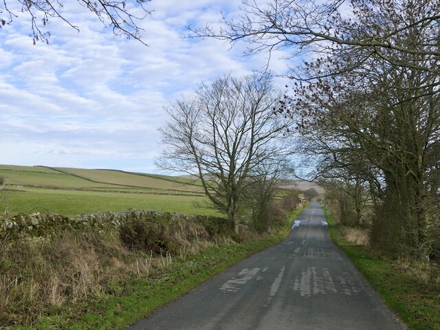
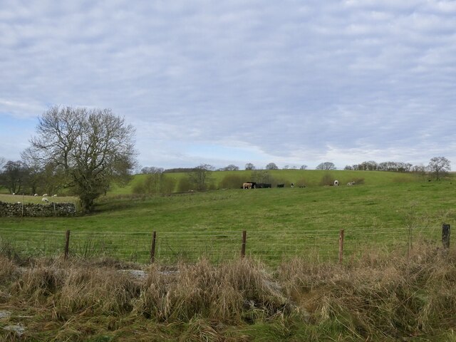
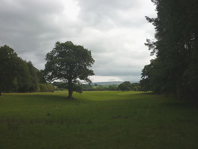
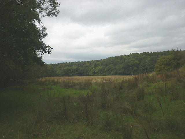
Scales Images
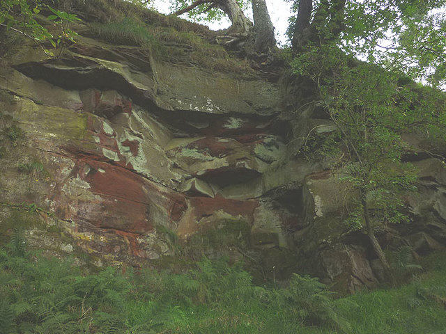
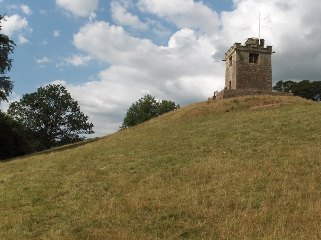
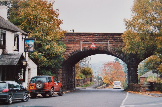
Images are sourced within 2km of 54.779633/-2.668511 or Grid Reference NY5742. Thanks to Geograph Open Source API. All images are credited.


Scales is located at Grid Ref: NY5742 (Lat: 54.779633, Lng: -2.668511)
Administrative County: Cumbria
District: Eden
Police Authority: Cumbria
What 3 Words
///pasta.gossip.foggy. Near Penrith, Cumbria
Nearby Locations
Related Wikis

Kirkoswald Castle
Kirkoswald Castle is located to the southeast of the village of Kirkoswald, Cumbria, England. It is built from Penrith red sandstone and is still partially...
Kirkoswald, Cumbria
Kirkoswald is a village, civil parish, and former market town located in Westmorland and Furness, England, about 9 miles (14 km) from Penrith. The village...

Renwick, Cumbria
Renwick, formerly known as Ravenwick, is a small village and former civil parish, now in the parish of Kirkoswald, in the Eden district, in the county...

Staffield
Staffield is a hamlet and former civil parish 12 miles (19 km) from Carlisle, now in the parish of Kirkoswald, in the Eden district, in the county of Cumbria...

Dale, Cumbria
Dale is a hamlet in Cumbria, England. == References ==

Armathwaite Nunnery
Armathwaite Nunnery was a Benedictine nunnery in Cumbria, England. It was situated near the confluence of the rivers Croglin Water and Eden in the southern...

Lazonby & Kirkoswald railway station
Lazonby & Kirkoswald is a railway station on the Settle and Carlisle Line, which runs between Carlisle and Leeds via Settle. The station, which is situated...
Lazonby
Lazonby is a village and civil parish in the Lower Eden Valley of Cumbria; it is located about 8 miles (13 km) north-north-east of Penrith and 24 miles...
Nearby Amenities
Located within 500m of 54.779633,-2.668511Have you been to Scales?
Leave your review of Scales below (or comments, questions and feedback).