Nether Hall
Heritage Site in Essex
England
Nether Hall
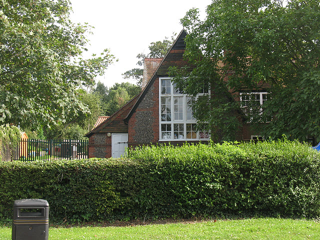
Nether Hall, located in the county of Essex, England, is a captivating heritage site that dates back to the 16th century. This remarkable Tudor mansion is nestled amidst picturesque countryside, surrounded by lush gardens and sprawling grounds, providing visitors with a glimpse into the area's rich history.
Built in 1551, Nether Hall boasts an impressive architectural design, characterized by its distinctive timber-framed structure and ornate brickwork. The mansion has undergone several renovations and additions over the centuries, blending various architectural styles and showcasing the evolution of English design.
The interior of Nether Hall is equally captivating, with its beautifully preserved original features. Visitors are transported back in time as they explore the grand rooms, adorned with intricately carved wooden paneling, elegant fireplaces, and stunning stained glass windows. The mansion also houses a collection of antique furniture and artwork, further enhancing its historical charm.
The surrounding gardens and grounds of Nether Hall are a true delight for nature enthusiasts. Spanning several acres, they feature manicured lawns, vibrant flower beds, and ancient trees. The estate also includes a tranquil lake, allowing visitors to enjoy peaceful walks and admire the scenic beauty.
As a designated heritage site, Nether Hall offers a range of activities and events throughout the year, including guided tours, educational programs, and cultural exhibitions. It serves as a fantastic venue for weddings, private functions, and corporate events, providing a unique and unforgettable setting.
Nether Hall, with its rich history, remarkable architecture, and stunning surroundings, is a must-visit destination for those seeking to immerse themselves in the cultural heritage of Essex and experience the grandeur of the Tudor era.
If you have any feedback on the listing, please let us know in the comments section below.
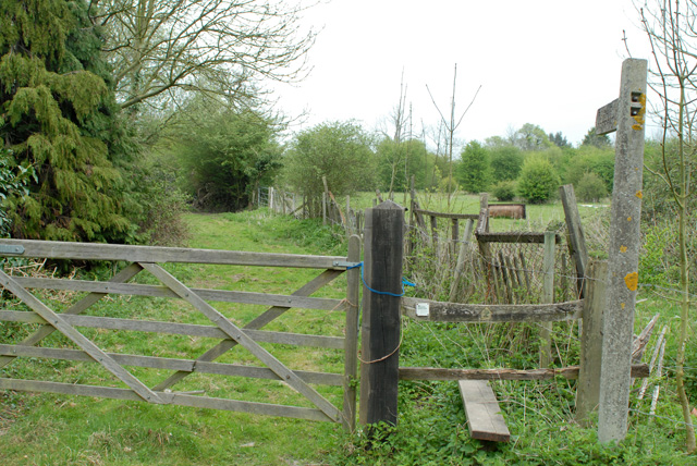
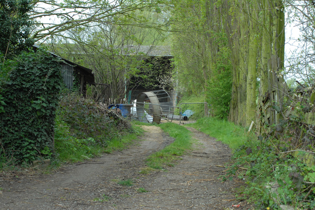
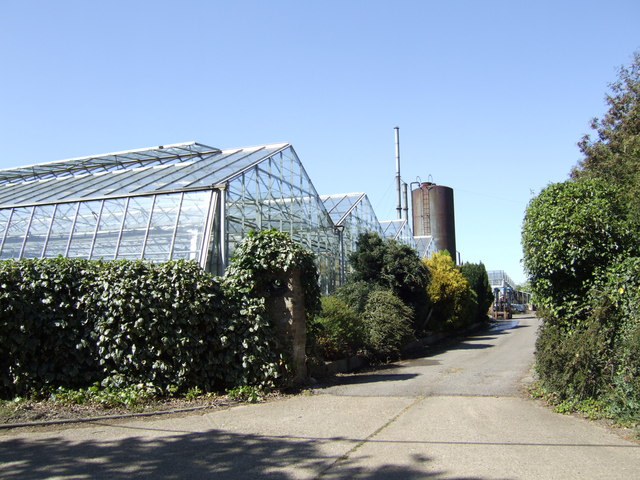
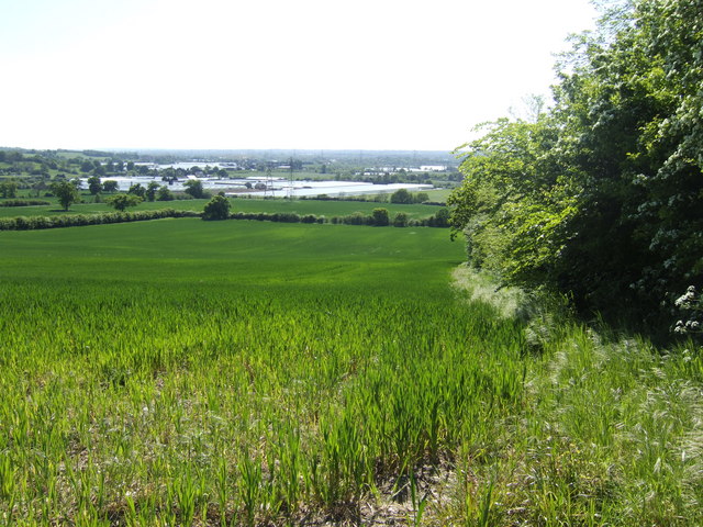
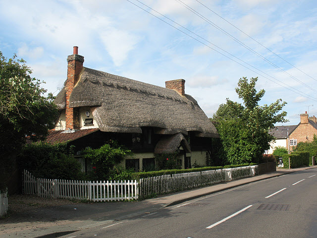
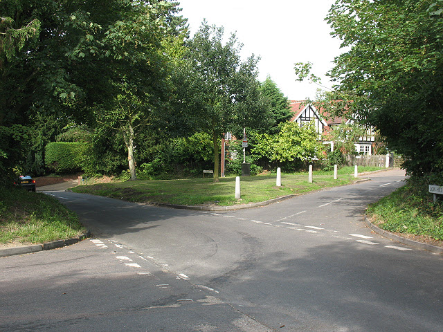
Nether Hall Images
Images are sourced within 2km of 51.757/0.022 or Grid Reference TL3908. Thanks to Geograph Open Source API. All images are credited.
Nether Hall is located at Grid Ref: TL3908 (Lat: 51.757, Lng: 0.022)
What 3 Words
///learn.select.forum. Near Roydon, Essex
Nearby Locations
Related Wikis

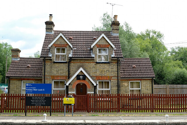
Feildes Weir Lock
Feildes Weir Lock (No5) is a lock on the River Lee Navigation located in Hoddesdon. == Location == The lock is adjacent to the confluence of the River...

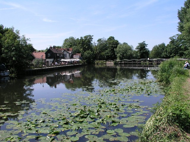
Feildes Weir
Feildes Weir is a weir on the River Lea located in Hoddesdon, Hertfordshire at the confluence of the River Lea and River Stort. The weir marks the start...

River Stort
The River Stort is a river in Essex and Hertfordshire, England. It is 24 miles (38 km) long and flows from just south of the village of Langley to the...

Tollhouse Stream
The Tollhouse Stream is a watercourse in Hertfordshire, England. It rises in the Rye Meads a sewage treatment works on the northeastern bank of the River...
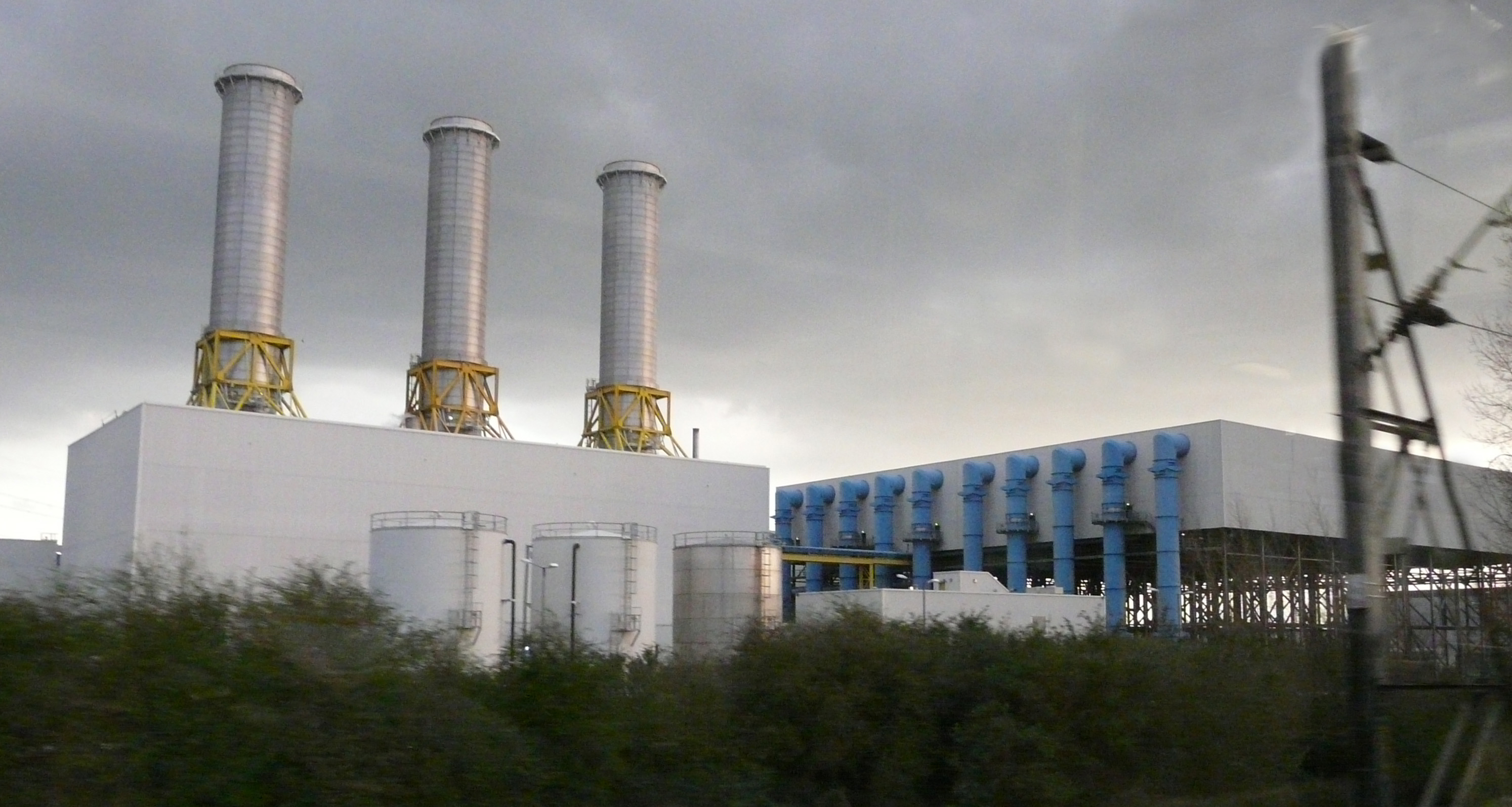
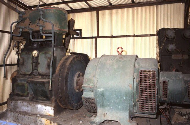
Rye House power station
Rye House Power Station is a 715 MW combined cycle gas turbine (CCGT) power station located near Rye House railway station in Hoddesdon, Hertfordshire...

Dobbs Weir
Dobbs Weir is both a weir in Hoddesdon, Hertfordshire and an area of Roydon, Essex in England on the River Lea. It is well known for angling, outdoor beauty...
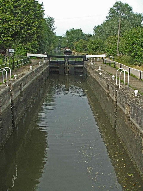
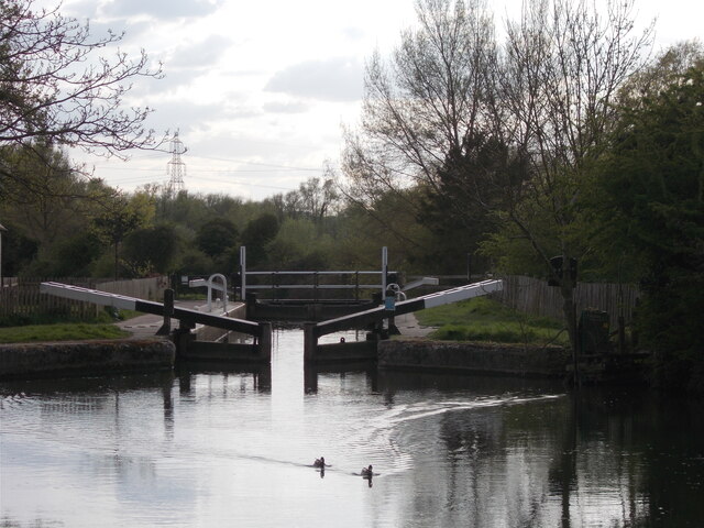
Dobbs Weir Lock
Dobbs Weir Lock (No 6) is a lock on the River Lee Navigation near Hoddesdon. == Location == The lock is south of the nearby Dobbs Weir, and stands close...

Rye House Kart Circuit
Rye House Kart Circuit is a kart circuit, in Hoddesdon, Hertfordshire, England, and is adjacent to the Rye House Stadium. The circuit is one of the oldest...
Nearby Amenities
Located within 500m of 51.757,0.022Have you been to Nether Hall?
Leave your review of Nether Hall below (or comments, questions and feedback).