Nether Cairn

Heritage Site in Peeblesshire

Scotland

Nether Cairn

Track between Dunsyre and Garvald A good, firm track – at this point anyway.
Track between Dunsyre and Garvald Credit: Alan O'Dowd

Nether Cairn, located in Peeblesshire, Scotland, is a historically significant heritage site that holds great cultural and archaeological value. Situated amidst the picturesque scenery of the Scottish Borders, Nether Cairn is a well-preserved ancient burial mound that provides insights into the region's prehistoric past.

Dating back to the Neolithic period, Nether Cairn is estimated to be over 5,000 years old. The site consists of a circular mound, approximately 25 meters in diameter, constructed using stones and earth. It is believed to have served as a communal burial site for the local community during this era.

The mound at Nether Cairn exhibits remarkable craftsmanship and precision, showcasing the technical expertise of the Neolithic people. Archaeological excavations have revealed the presence of human remains, pottery fragments, and ritualistic objects, shedding light on the burial practices and cultural traditions of the time.

Nether Cairn's strategic location on elevated ground provides breathtaking views of the surrounding landscape, adding to its allure. It stands as a testament to the rich history and heritage of the Scottish Borders region, offering visitors a unique opportunity to engage with Scotland's ancient past.

Protected as a scheduled monument, Nether Cairn attracts history enthusiasts, archaeologists, and tourists alike. Its accessibility and informative signage make it an educational destination, allowing visitors to connect with the Neolithic era and gain a deeper understanding of Scotland's ancient civilizations.

Nether Cairn stands as an important heritage site, preserving the cultural legacy of the region and providing valuable insights into Scotland's prehistoric heritage.

If you have any feedback on the listing, please let us know in the comments section below.
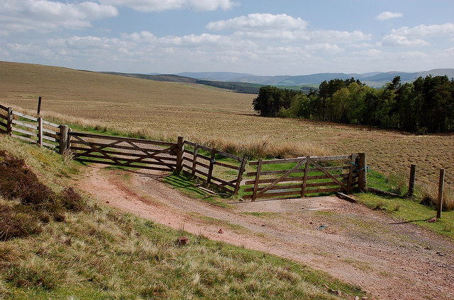
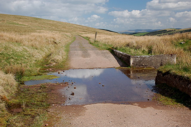
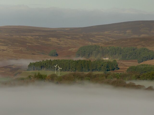
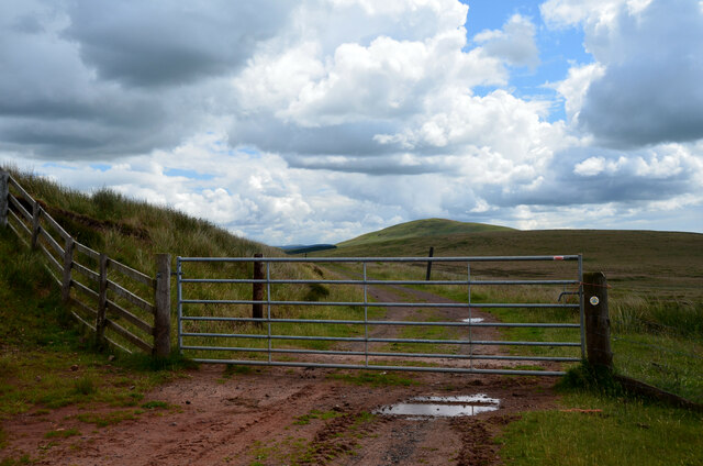
Nether Cairn Images

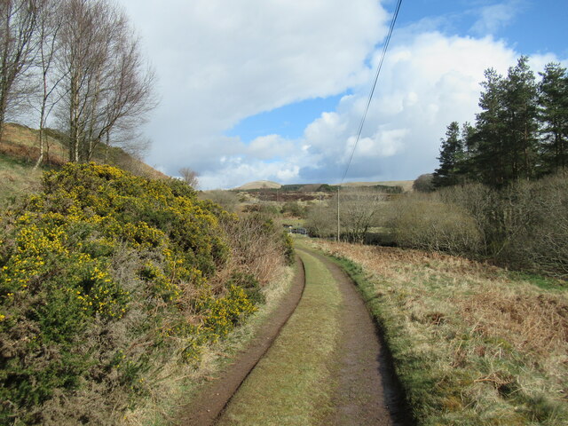
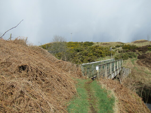
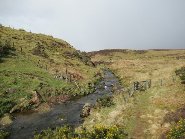
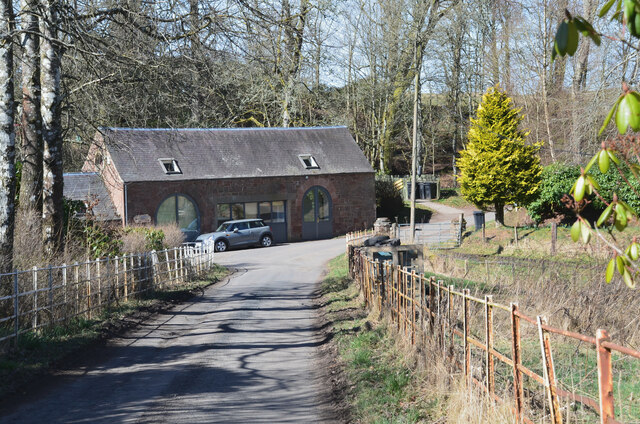
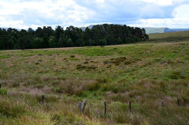
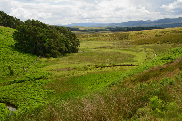
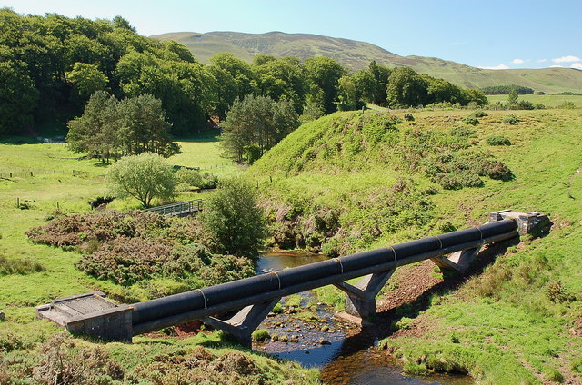
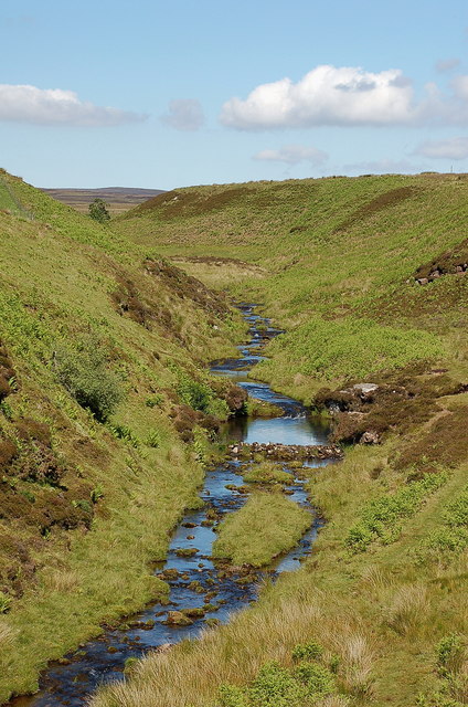
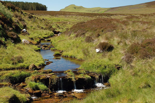
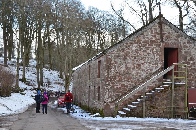
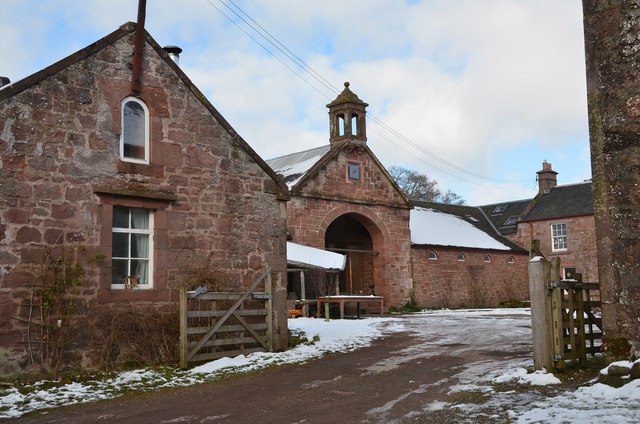
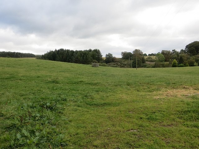
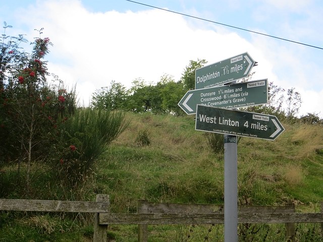
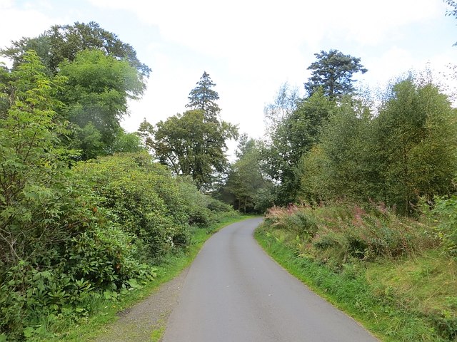
Images are sourced within 2km of 55.74/-3.425 or Grid Reference NT1050. Thanks to Geograph Open Source API. All images are credited.

Track between Dunsyre and Garvald A good, firm track – at this point anyway.
Track between Dunsyre and Garvald
A good, firm track – at this point anyway.
Footbridge over the West Water A bridge carrying an old right of way on to the moors at the western end of the Pentland Hills.
Footbridge over the West Water
A bridge carrying an old right of way on to the moors at the western end of the Pentland Hills.
Path by the West Water An old right of way on to the moors at the western end of the Pentland Hills.
Path by the West Water
An old right of way on to the moors at the western end of the Pentland Hills.
Road at Garvald The road from Dolphinton approaching the home farm at Garvald.
Road at Garvald
The road from Dolphinton approaching the home farm at Garvald.
Gates and cattle grid, Medwynhead On the track to Slipperfield and West Linton.
Gates and cattle grid, Medwynhead
On the track to Slipperfield and West Linton.
Ford near Medwynhead A ford on the waterworks track between Medwynhead and West Linton.
Ford near Medwynhead
A ford on the waterworks track between Medwynhead and West Linton.
Medwynhead and inversion conditions View from Shaw Hill into the Pentland Hills. Garvald is still under the fog.
Medwynhead and inversion conditions
View from Shaw Hill into the Pentland Hills. Garvald is still under the fog.
Road near Medwynhead The waterworks road from Slipperfield with Mendick Hill ahead.
Road near Medwynhead
The waterworks road from Slipperfield with Mendick Hill ahead.
Trees at Medwynhead On the moorland, seen from the waterworks road.
Trees at Medwynhead
On the moorland, seen from the waterworks road.
Valley of the Medwin Water A level area on the valley floor of the Medwin Water as it heads south, eventually to join the River Clyde.
Valley of the Medwin Water
A level area on the valley floor of the Medwin Water as it heads south, eventually to join the River Clyde.
Pipeline crossing the West Water It looks to be a water pipe; an aqueduct is marked 4km to the west in NT0548.
Pipeline crossing the West Water
It looks to be a water pipe; an aqueduct is marked 4km to the west in NT0548.
West Water near Garvald Not to be confused with the other West Water about 3 km to the east. This burn drains southwards from the slopes of Mid Hill round to Black Law.
West Water near Garvald
Not to be confused with the other West Water about 3 km to the east. This burn drains southwards from the slopes of Mid Hill round to Black Law.
West Water A small cascade on this moorland burn which drains the heathery hills west of the Medwin Water. Not to be confused with the other West Water about 4 km to the east. Dunsyre Hill is in the background.
West Water
A small cascade on this moorland burn which drains the heathery hills west of the Medwin Water. Not to be confused with the other West Water about 4 km to the east. Dunsyre Hill is in the background.
Farm building at Garvald The opposite end of the building is shown in <a href="https://www.geograph.org.uk/photo/2280916">NT0949 : Old farm building with dovecot, Garvald</a>.
Farm building at Garvald
The opposite end of the building is shown in NT0949 : Old farm building with dovecot, Garvald.
Garvald Mains farm Attractive old sandstone buildings around the yard at Garvald.
Garvald Mains farm
Attractive old sandstone buildings around the yard at Garvald.
Field, Garvald
Field, Garvald
Signpost, Garvald The route across the Pentland Hills via the Covenanter's Grave meets the old road from West Linton.
Signpost, Garvald
The route across the Pentland Hills via the Covenanter's Grave meets the old road from West Linton.
The road to Garvald
The road to Garvald
Show me another place!

Nether Cairn is located at Grid Ref: NT1050 (Lat: 55.74, Lng: -3.425)

Unitary Authority: The Scottish Borders

Police Authority: The Lothians and Scottish Borders

What 3 Words

///admits.grapevine.rail. Near West Linton, Scottish Borders

Related Wikis

Garvald, South Lanarkshire

Garvald is a small settlement on the boundary between the Scottish Borders and South Lanarkshire, Scotland. == References == The geographic coordinates...

West Water Reservoir

West Water Reservoir (sometimes Westwater Reservoir) is an artificial reservoir in the Pentland Hills, Scottish Borders, 3 kilometres (1.9 mi) west of...

Dolphinton (CR) railway station

Dolphinton railway station served the village of Dolphinton, Lanarkshire, Scotland, from 1867 to 1945 on the Dolphinton branch. == History == The station...

Dolphinton railway station

Dolphinton (North British Railway) railway station served the village of Dolphinton, Lanarkshire, Scotland from 1864 to 1933 on the Leadburn, Linton and...

Related Videos

Have you been to Nether Cairn?

Leave your review of Nether Cairn below (or comments, questions and feedback).