North Muir

Downs, Moorland in Peeblesshire

Scotland

North Muir

Footbridge over the West Water A bridge carrying an old right of way on to the moors at the western end of the Pentland Hills.
Footbridge over the West Water Credit: Alan O'Dowd

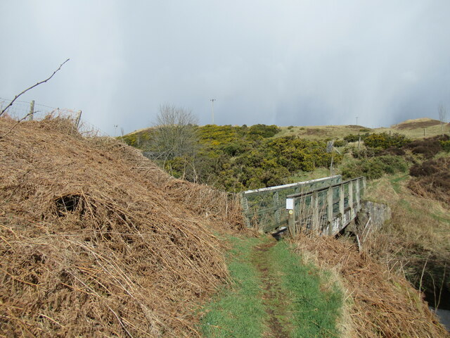
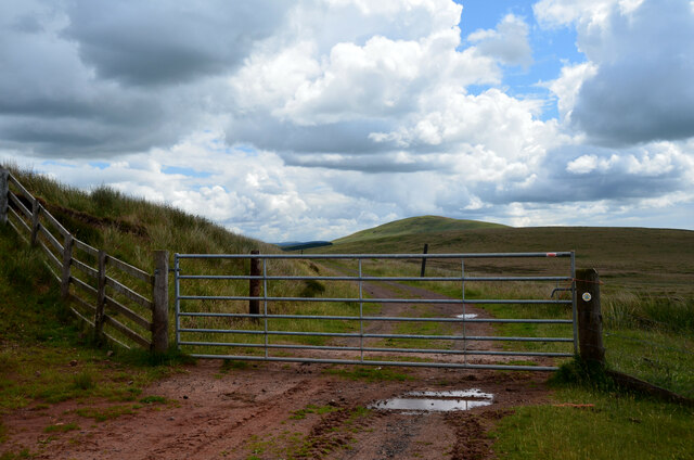
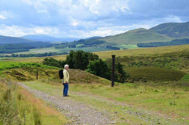
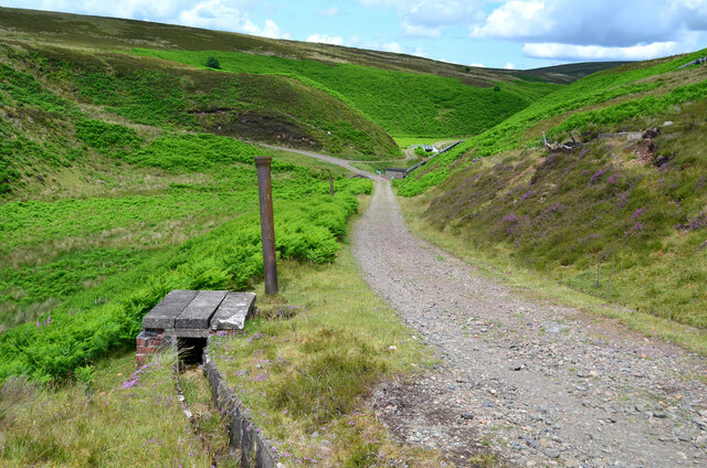
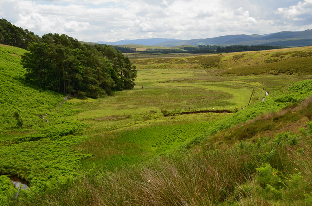
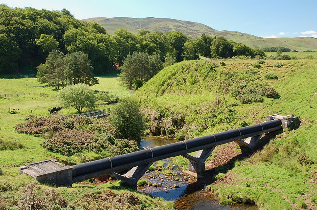
North Muir is a picturesque rural area located in Peeblesshire, Scotland. Situated amidst the stunning Scottish Borders, it is known for its vast expanse of downs and moorland. The area is characterized by rolling hills, heather-covered plains, and a serene atmosphere.

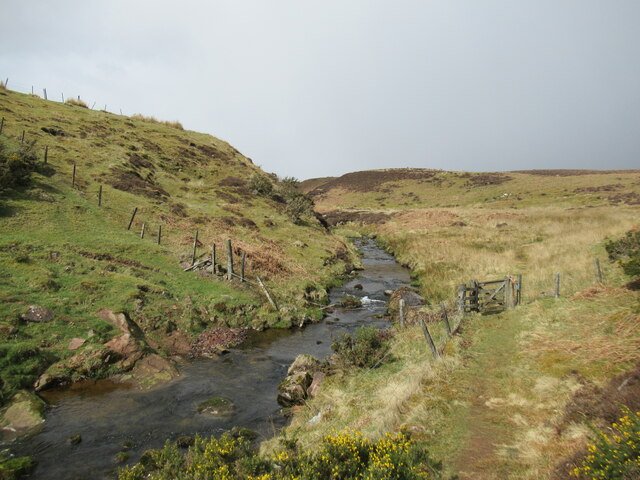
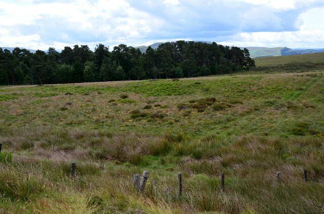
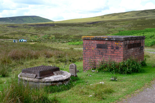
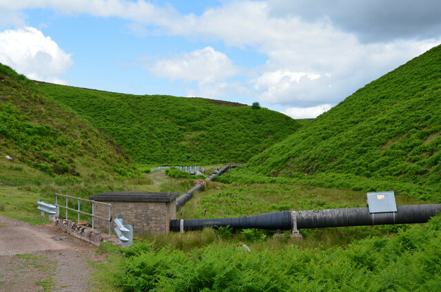
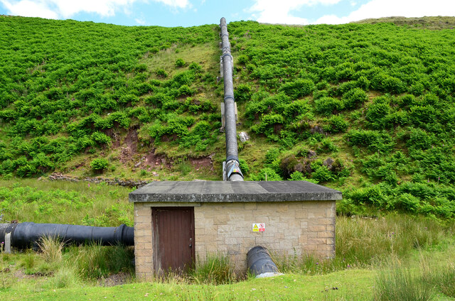
The landscape of North Muir is largely untouched and provides a haven for wildlife and nature enthusiasts. The downs present a patchwork of vibrant colors throughout the year, with purple heather dominating the summer months and golden hues taking over in autumn. The moorland, on the other hand, offers a unique and rugged charm, with its rocky outcrops and scattered lochs.

The area is home to a diverse range of flora and fauna. Visitors can spot various bird species, including skylarks, pheasants, and buzzards, soaring above the open skies. Red deer and Highland cattle can often be seen grazing peacefully in the meadows, adding to the natural beauty of the surroundings.

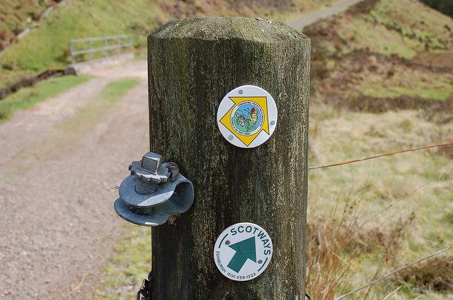
North Muir offers numerous recreational opportunities for outdoor enthusiasts. The downs and moorland provide excellent hiking and walking trails, allowing visitors to explore the area's stunning vistas and tranquil atmosphere. It is also a popular spot for birdwatching and nature photography.

The nearby town of Peebles offers amenities such as accommodation, dining options, and shops, making it a convenient base for those wishing to explore North Muir. Whether seeking solitude in nature or indulging in outdoor activities, North Muir is a captivating destination that showcases the untamed beauty of the Scottish Borders.

If you have any feedback on the listing, please let us know in the comments section below.
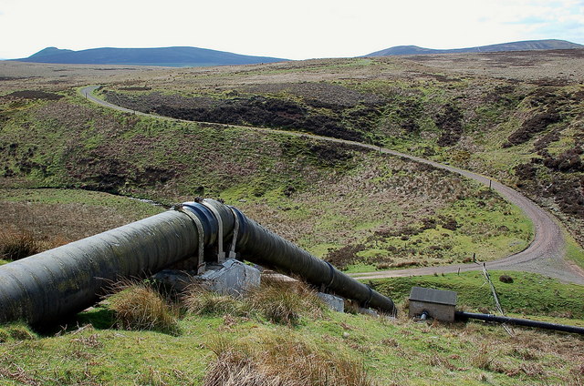
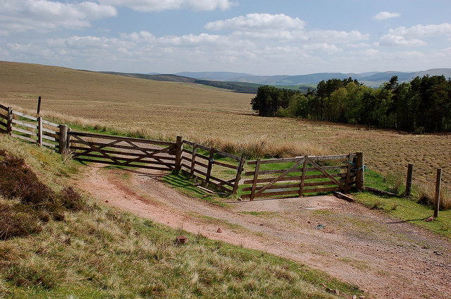
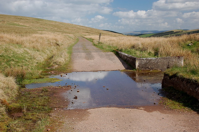
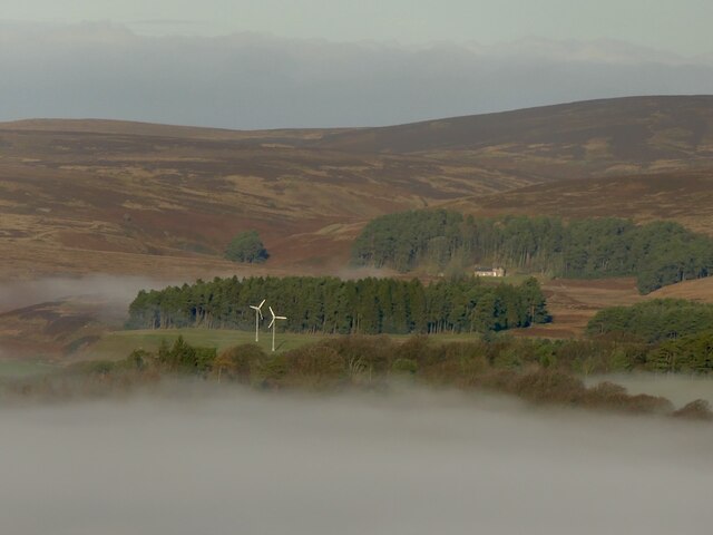
North Muir Images

Images are sourced within 2km of 55.742909/-3.4271804 or Grid Reference NT1050. Thanks to Geograph Open Source API. All images are credited.

Footbridge over the West Water A bridge carrying an old right of way on to the moors at the western end of the Pentland Hills.
Footbridge over the West Water
A bridge carrying an old right of way on to the moors at the western end of the Pentland Hills.
Path by the West Water An old right of way on to the moors at the western end of the Pentland Hills.
Path by the West Water
An old right of way on to the moors at the western end of the Pentland Hills.
Road at Garvald The road from Dolphinton approaching the home farm at Garvald.
Road at Garvald
The road from Dolphinton approaching the home farm at Garvald.
Summit cairn, Catstone A nice display of cumulus clouds from the summit in this unfrequented part of the Pentlands. The double-humped hill L of centre is Bleak Law.
Summit cairn, Catstone
A nice display of cumulus clouds from the summit in this unfrequented part of the Pentlands. The double-humped hill L of centre is Bleak Law.
Waymarks on a gatepost, Medwynhead Waymarks from Friends of the Pentlands and Scotways on the track to Slipperfield and West Linton.
Waymarks on a gatepost, Medwynhead
Waymarks from Friends of the Pentlands and Scotways on the track to Slipperfield and West Linton.
Track and pipeline, Medwynhead At this point the pipeline goes underground after rising up the bank from the Medwin Water. The track is access to a dam NE of Bleak Law.
Track and pipeline, Medwynhead
At this point the pipeline goes underground after rising up the bank from the Medwin Water. The track is access to a dam NE of Bleak Law.
Gates and cattle grid, Medwynhead On the track to Slipperfield and West Linton.
Gates and cattle grid, Medwynhead
On the track to Slipperfield and West Linton.
Ford near Medwynhead A ford on the waterworks track between Medwynhead and West Linton.
Ford near Medwynhead
A ford on the waterworks track between Medwynhead and West Linton.
Medwynhead and inversion conditions View from Shaw Hill into the Pentland Hills. Garvald is still under the fog.
Medwynhead and inversion conditions
View from Shaw Hill into the Pentland Hills. Garvald is still under the fog.
Road near Medwynhead The waterworks road from Slipperfield with Mendick Hill ahead.
Road near Medwynhead
The waterworks road from Slipperfield with Mendick Hill ahead.
Trees at Medwynhead On the moorland, seen from the waterworks road.
Trees at Medwynhead
On the moorland, seen from the waterworks road.
Brick structure for water pipeline Possibly a ventilator and a manhole on the route of the pipeline to West Water Reservoir.
Brick structure for water pipeline
Possibly a ventilator and a manhole on the route of the pipeline to West Water Reservoir.
Descending to the Medwin Water The waterworks road makes a hairpin descent to cross the Medwin Water, where two pipelines meet. The grassy hill R of centre is White Hill with Black Mount beyond. The vertical posts are old iron pipes used to mark the course of the road from Slipperfield.
Descending to the Medwin Water
The waterworks road makes a hairpin descent to cross the Medwin Water, where two pipelines meet. The grassy hill R of centre is White Hill with Black Mount beyond. The vertical posts are old iron pipes used to mark the course of the road from Slipperfield.
Waterworks road at the Medwin Water The road crosses the Medwin Water, where a pipeline captures water from a dam upstream to connect with the West Water Reservoir. Note the concrete-lined gutter to protect the road edges - see also <a href="https://www.geograph.org.uk/photo/1011753">NT1051 : Catch drains by the water board track</a> by Gordon Brown.
Waterworks road at the Medwin Water
The road crosses the Medwin Water, where a pipeline captures water from a dam upstream to connect with the West Water Reservoir. Note the concrete-lined gutter to protect the road edges - see also NT1051 : Catch drains by the water board track by Gordon Brown.
Pipelines at the Medwin Water The pipeline collects water from the dam upstream (shown in <a href="https://www.geograph.org.uk/photo/174099">NT0853 : Dam</a> by Callum Black), is joined in the small building by another pipe from the west, to rise up the hillside and continue towards West Water Reservoir.
Pipelines at the Medwin Water
The pipeline collects water from the dam upstream (shown in NT0853 : Dam by Callum Black), is joined in the small building by another pipe from the west, to rise up the hillside and continue towards West Water Reservoir.
Pipelines at the Medwin Water (2) The left-hand pipeline brings water from a dam upstream and is joined in the small building by another pipe from the west, to rise up the hillside and continue towards West Water Reservoir.
Pipelines at the Medwin Water (2)
The left-hand pipeline brings water from a dam upstream and is joined in the small building by another pipe from the west, to rise up the hillside and continue towards West Water Reservoir.
Valley of the Medwin Water A level area on the valley floor of the Medwin Water as it heads south, eventually to join the River Clyde.
Valley of the Medwin Water
A level area on the valley floor of the Medwin Water as it heads south, eventually to join the River Clyde.
Pipeline crossing the West Water It looks to be a water pipe; an aqueduct is marked 4km to the west in NT0548.
Pipeline crossing the West Water
It looks to be a water pipe; an aqueduct is marked 4km to the west in NT0548.
Show me another place!

North Muir is located at Grid Ref: NT1050 (Lat: 55.742909, Lng: -3.4271804)

Unitary Authority: The Scottish Borders

Police Authority: The Lothians and Scottish Borders

What 3 Words

///heads.rounds.blogging. Near West Linton, Scottish Borders

Related Wikis

Garvald, South Lanarkshire

Garvald is a small settlement on the boundary between the Scottish Borders and South Lanarkshire, Scotland. == References == The geographic coordinates...

West Water Reservoir

West Water Reservoir (sometimes Westwater Reservoir) is an artificial reservoir in the Pentland Hills, Scottish Borders, 3 kilometres (1.9 mi) west of...

Dolphinton (CR) railway station

Dolphinton railway station served the village of Dolphinton, Lanarkshire, Scotland, from 1867 to 1945 on the Dolphinton branch. == History == The station...

Dolphinton railway station

Dolphinton (North British Railway) railway station served the village of Dolphinton, Lanarkshire, Scotland from 1864 to 1933 on the Leadburn, Linton and...

Nearby Amenities

Located within 500m of 55.742909,-3.4271804
North Muir Hill
Natural: peak
Wikidata: Q24661178
Lat/Long: 55.7446318/-3.4291935
The data included in this document is from www.openstreetmap.org. The data is made available under ODbL.

Have you been to North Muir?

Leave your review of North Muir below (or comments, questions and feedback).