Brimpton

Civil Parish in Berkshire

England

Brimpton

B3051 towards Aldermaston
B3051 towards Aldermaston Credit: Robin Webster

Brimpton is a small civil parish located in the county of Berkshire, England. It is situated about 11 miles southwest of the town of Reading and approximately 50 miles west of London. The parish covers an area of around 2.5 square miles and is bordered by the River Enborne to the south.

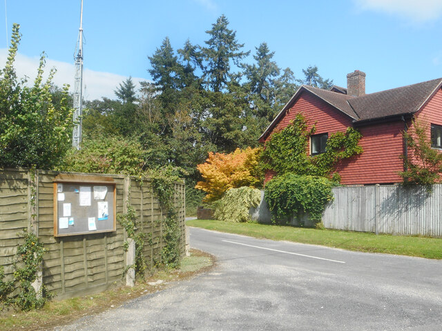
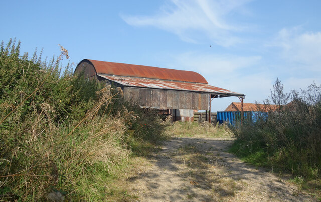
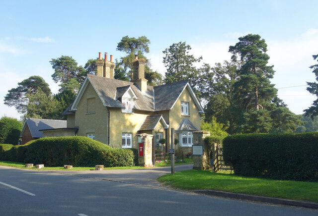
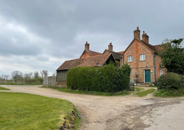
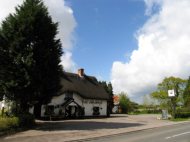
Brimpton is a rural village with a population of around 500 residents. The village is known for its picturesque countryside, with rolling hills, fields, and woodlands surrounding the area. The landscape provides ample opportunities for outdoor activities such as walking, hiking, and cycling.

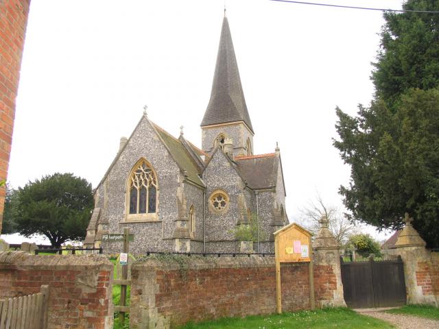
The village is centered around St. Peter's Church, a Grade II listed building that dates back to the 13th century. The church is a prominent feature of the village, with its striking architecture and historical significance.

In terms of amenities, Brimpton has a village hall that hosts community events and gatherings. There is also a primary school, providing education for children in the area.

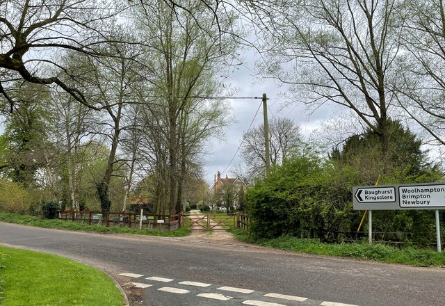
Brimpton is well-connected to surrounding areas by road, with the A4 running nearby, offering easy access to Reading and Newbury. The village is also served by a few bus routes, providing links to neighboring towns and villages.

Overall, Brimpton offers a peaceful and idyllic countryside setting, ideal for those seeking a rural lifestyle away from the hustle and bustle of city living.

If you have any feedback on the listing, please let us know in the comments section below.

Brimpton Images

Images are sourced within 2km of 51.377964/-1.19736 or Grid Reference SU5564. Thanks to Geograph Open Source API. All images are credited.

B3051 towards Aldermaston
Parish Notices, Hyde End Lane Between Brimpton and Crookham is a group of houses around the junction of Crookham Common Road and Hyde End Lane. A Brimpton Parish Council notice board is on the back fence of a house on the corner.
Parish Notices, Hyde End Lane
Between Brimpton and Crookham is a group of houses around the junction of Crookham Common Road and Hyde End Lane. A Brimpton Parish Council notice board is on the back fence of a house on the corner.
Barn at Upper Hyde End Farm In the SW corner of SU5564 towards the end of Hyde End Lane before it becomes a track.
Barn at Upper Hyde End Farm
In the SW corner of SU5564 towards the end of Hyde End Lane before it becomes a track.
Hyde End Pumping Station A pumping station belonging to the Environment Agency. It is for river flow augmentation when water levels get too low in the River Enborne. 
Water can be pumped into the river from a borehole.
Hyde End Pumping Station
A pumping station belonging to the Environment Agency. It is for river flow augmentation when water levels get too low in the River Enborne. Water can be pumped into the river from a borehole.
Hyde End Farm Under Wraps Impossible to see what's going on here, but it looks serious.
Hyde End Farm Under Wraps
Impossible to see what's going on here, but it looks serious.
Shalford Lodge, Wasing Park Entrance to the Wasing Estate. The road leads to Wasing House and there is a public right of way to Wasing Parish Church which is adjacent.
Wasing is still a parish although there is no village as such. The church is still in use, mostly for weddings.
Shalford Lodge, Wasing Park
Entrance to the Wasing Estate. The road leads to Wasing House and there is a public right of way to Wasing Parish Church which is adjacent. Wasing is still a parish although there is no village as such. The church is still in use, mostly for weddings.
Shalford Bridge - River Enborne
Shalford Farm - Wasing
Bus stops on Back Lane
Houses on Back Lane - Wasing
Quaking Bridge A bridge over a small part of the River Kennet on Brimpton Road.
Quaking Bridge
A bridge over a small part of the River Kennet on Brimpton Road.
Corner to Quaking Bridge A corner on Brimpton Road leading to Quaking Bridge.
Corner to Quaking Bridge
A corner on Brimpton Road leading to Quaking Bridge.
Brimpton Road Looking south along Brimpton Road towards Brimpton.
Brimpton Road
Looking south along Brimpton Road towards Brimpton.
Muddy lay-bys on Back Lane Some muddy lay-bys with big puddles on Back Lane. Surprisingly, both were in use!
Muddy lay-bys on Back Lane
Some muddy lay-bys with big puddles on Back Lane. Surprisingly, both were in use!
Byway off Back Lane The entrance to the byway off Back Lane, which runs to Brimpton Lane. It is very muddy! The sign appears to have been hit by a vehicle as it is pointing the wrong direction.
Byway off Back Lane
The entrance to the byway off Back Lane, which runs to Brimpton Lane. It is very muddy! The sign appears to have been hit by a vehicle as it is pointing the wrong direction.
Back Lane junction to Brimpton Lane The junction of Back Lane on Brimpton Lane, from the verge.
Back Lane junction to Brimpton Lane
The junction of Back Lane on Brimpton Lane, from the verge.
Brimpton Lane from Back Lane Looking over the junction of Back Lane to Brimpton Lane. A signpost directs to Woolhampton, Kingsmere, Brimpton and AWE.
Brimpton Lane from Back Lane
Looking over the junction of Back Lane to Brimpton Lane. A signpost directs to Woolhampton, Kingsmere, Brimpton and AWE.
Byway off Back Lane The byway off Back Lane, which runs to Brimpton Lane.
Byway off Back Lane
The byway off Back Lane, which runs to Brimpton Lane.
Show me another place!

Brimpton is located at Grid Ref: SU5564 (Lat: 51.377964, Lng: -1.19736)

Unitary Authority: West Berkshire

Police Authority: Thames Valley

What 3 Words

///shuffles.tasters.number. Near Thatcham, Berkshire

Related Wikis

Shalford Preceptory

Shalford Preceptory was a preceptory of Knights Hospitaller at Shalford in the civil parish of Brimpton in the English county of Berkshire. It was established...

Brimpton

Brimpton is a mostly rural village and civil parish in West Berkshire, England. Brimpton is centred 4.5 miles (7.2 km) ESE of the town of Newbury. ��2...

Brimpton Pit

Brimpton Pit is a 1.6-hectare (4.0-acre) geological Site of Special Scientific Interest west of Aldermaston in Berkshire. It is a Geological Conservation...

Hyde End, Berkshire

Hyde End is a small hamlet in Berkshire, England, and part of the civil parish of Brimpton. The settlement lies south of the A4 road and approximately...

Heale's Lock

Heale's Lock is a lock on the Kennet and Avon Canal, between Thatcham and Woolhampton, Berkshire, England. Heale's Lock was built between 1718 and 1723...

Midgham Lock

Midgham Lock is a lock on the Kennet and Avon Canal, between Thatcham and Woolhampton, Berkshire, England. Midgham Lock was built between 1718 and 1723...

Brimpton Common

Brimpton Common is a hamlet in Berkshire, England. It is part of Brimpton Parish, and part of the Benefice of Aldermaston and Woolhampton in the Diocese...

Brimpton Airfield

Brimpton (Wasing Lower Farm) Airfield is an unlicensed single-runway civilian airfield in the south-east of West Berkshire, United Kingdom. == History... ==

Related Videos

Best places to go for a holiday!

Best places to go for a holiday!

Episode 027 - All Aboard for the Kennet & Avon Canal

Hello everybody, we are back on a boat! This is the start of our journey along the Kennet & Avon, where we attempt to complete ...

Nearby Amenities

Located within 500m of 51.377964,-1.19736
War Memorial
Historic: memorial
Lat/Long: 51.3793217/-1.1996615
Shelter
Lat/Long: 51.3792489/-1.1993496
Bus Stop
Lat/Long: 51.3793523/-1.1989327
Post Office
Forge Stores
Lat/Long: 51.37935/-1.1987693
Post Box
Fixme: This may have been removed or decomissioned. Please check
Mapillary: 2899207070298406
Post Box Mounting: brick_pillar
Post Box Type: wall
Postal Code: RG7
Ref: RG7 43
Survey Date: 2020-10-03
Lat/Long: 51.379279/-1.198542
Brimpton
Place: village
Wikidata: Q781334
Lat/Long: 51.3786132/-1.1989082
Turning Circle
Lat/Long: 51.3784336/-1.1966727
Barrier: kissing_gate
Lat/Long: 51.3788465/-1.1959163
Turning Circle
Lat/Long: 51.3788067/-1.2001569
Bench
Backrest: yes
Lat/Long: 51.3781267/-1.1988253
Bench
Lat/Long: 51.3792603/-1.1994417
Defibrillator
Emergency: defibrillator
Indoor: no
Lat/Long: 51.3776282/-1.1978614
Power: pole
Lat/Long: 51.3776873/-1.2035501
Power: pole
Lat/Long: 51.3769724/-1.2013534
Power: pole
Lat/Long: 51.3760667/-1.2002349
Power: pole
Lat/Long: 51.3749583/-1.1988884
Power: pole
Lat/Long: 51.3768669/-1.1996448
Power: pole
Lat/Long: 51.3772051/-1.2006211
Power: pole
Lat/Long: 51.3775735/-1.2015438
Power: pole
Lat/Long: 51.3737896/-1.1947632
Power: pole
Lat/Long: 51.3743388/-1.1950743
Power: pole
Lat/Long: 51.3750219/-1.1954284
Power: pole
Lat/Long: 51.3757251/-1.1957824
Power: pole
Lat/Long: 51.3763848/-1.1961418
Power: pole
Lat/Long: 51.3770812/-1.1965013
Power: pole
Lat/Long: 51.3781996/-1.2038291
Power: pole
Lat/Long: 51.3789798/-1.203129
Power: pole
Lat/Long: 51.3798101/-1.2036091
Power: pole
Lat/Long: 51.377915/-1.2024879
The data included in this document is from www.openstreetmap.org. The data is made available under ODbL.

Have you been to Brimpton?

Leave your review of Brimpton below (or comments, questions and feedback).