Arundell's Copse

Wood, Forest in Berkshire

England

Arundell's Copse

Enborne Way, Brimpton
Enborne Way, Brimpton Credit: Oscar

Arundell's Copse is a picturesque woodland located in the county of Berkshire, England. Covering an area of approximately 50 acres, it is nestled within the charming countryside near the village of Arundell. The copse is known for its diverse range of trees, including oak, beech, and chestnut, which create a lush and verdant forest environment.

The woodland is a haven for wildlife, providing a sanctuary for various species of birds, mammals, and insects. Birdwatchers can often spot woodpeckers, owls, and songbirds flitting among the branches, while small mammals like foxes, badgers, and rabbits can be seen scurrying through the undergrowth. The copse is also home to a variety of butterflies and other insects, adding to its ecological significance.

Visitors to Arundell's Copse can enjoy a network of well-maintained footpaths that meander through the woodland, allowing for peaceful walks and exploration. The paths provide access to different parts of the copse, offering visitors the opportunity to discover its hidden corners and tranquil spots. A small stream runs through the copse, adding to the idyllic atmosphere and providing a soothing soundtrack of trickling water.

The copse is a popular destination for nature enthusiasts, hikers, and picnickers, who can take advantage of the designated picnic areas scattered throughout the woodland. The peacefulness and natural beauty of Arundell's Copse make it a perfect escape from the hustle and bustle of everyday life, allowing visitors to immerse themselves in the tranquility and serenity of this enchanting forest.

If you have any feedback on the listing, please let us know in the comments section below.

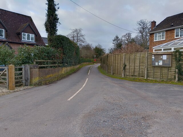
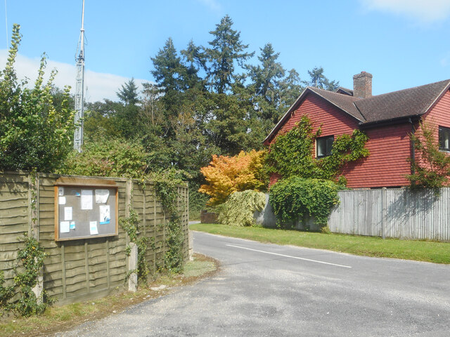
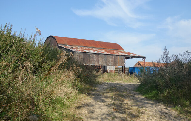
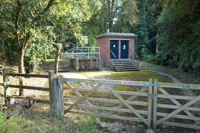
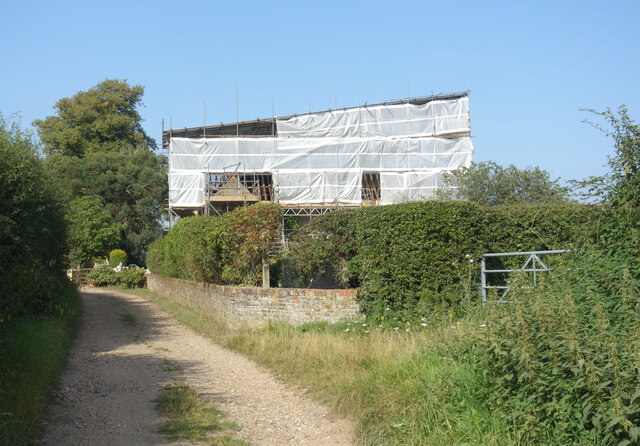
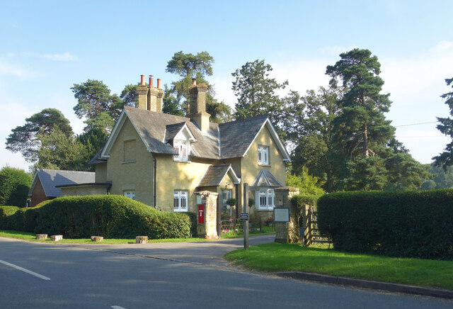
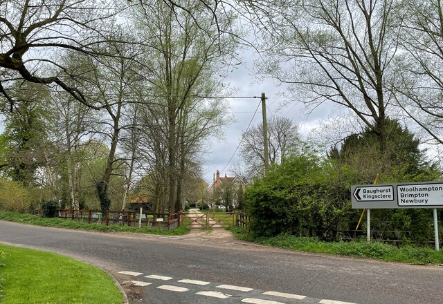
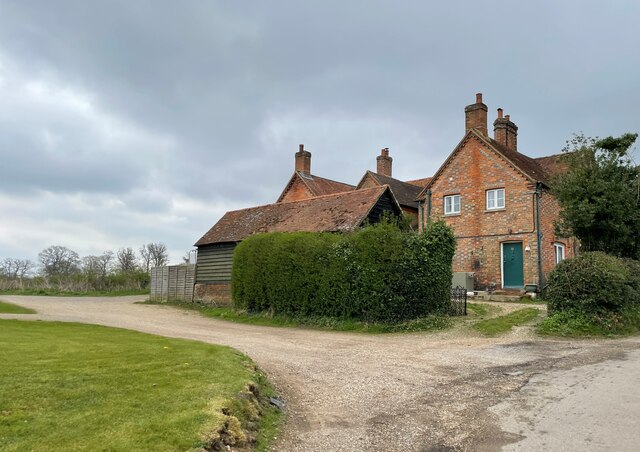
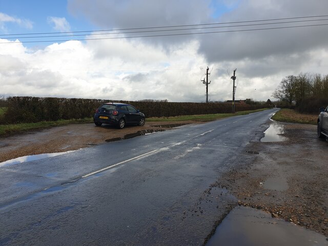
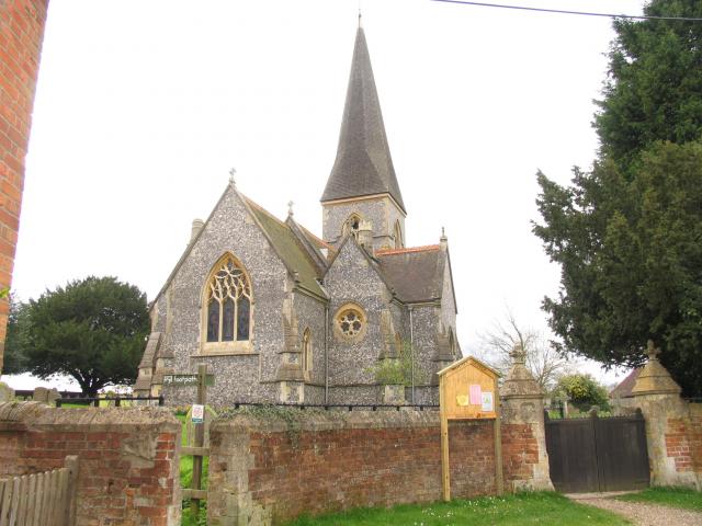
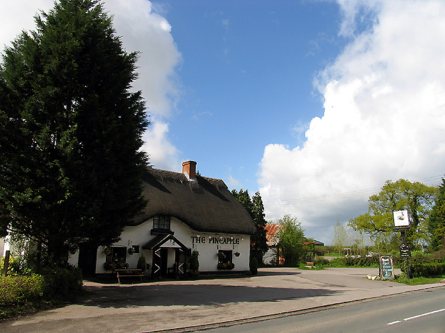
Arundell's Copse Images

Images are sourced within 2km of 51.373955/-1.2001731 or Grid Reference SU5564. Thanks to Geograph Open Source API. All images are credited.

Enborne Way, Brimpton
Footpath towards Wasing Road A public footpath between Enborne Way and Wasing Road.
Footpath towards Wasing Road
A public footpath between Enborne Way and Wasing Road.
Enborne Way car park
Hyde End Lane
Hyde End Lane
B3051 towards Aldermaston
Parish Notices, Hyde End Lane Between Brimpton and Crookham is a group of houses around the junction of Crookham Common Road and Hyde End Lane. A Brimpton Parish Council notice board is on the back fence of a house on the corner.
Parish Notices, Hyde End Lane
Between Brimpton and Crookham is a group of houses around the junction of Crookham Common Road and Hyde End Lane. A Brimpton Parish Council notice board is on the back fence of a house on the corner.
Barn at Upper Hyde End Farm In the SW corner of SU5564 towards the end of Hyde End Lane before it becomes a track.
Barn at Upper Hyde End Farm
In the SW corner of SU5564 towards the end of Hyde End Lane before it becomes a track.
Hyde End Pumping Station A pumping station belonging to the Environment Agency. It is for river flow augmentation when water levels get too low in the River Enborne. 
Water can be pumped into the river from a borehole.
Hyde End Pumping Station
A pumping station belonging to the Environment Agency. It is for river flow augmentation when water levels get too low in the River Enborne. Water can be pumped into the river from a borehole.
Hyde End Farm Under Wraps Impossible to see what's going on here, but it looks serious.
Hyde End Farm Under Wraps
Impossible to see what's going on here, but it looks serious.
Shalford Lodge, Wasing Park Entrance to the Wasing Estate. The road leads to Wasing House and there is a public right of way to Wasing Parish Church which is adjacent.
Wasing is still a parish although there is no village as such. The church is still in use, mostly for weddings.
Shalford Lodge, Wasing Park
Entrance to the Wasing Estate. The road leads to Wasing House and there is a public right of way to Wasing Parish Church which is adjacent. Wasing is still a parish although there is no village as such. The church is still in use, mostly for weddings.
Shalford Bridge - River Enborne
Shalford Farm - Wasing
Bus stops on Back Lane
Houses on Back Lane - Wasing
Quaking Bridge A bridge over a small part of the River Kennet on Brimpton Road.
Quaking Bridge
A bridge over a small part of the River Kennet on Brimpton Road.
Corner to Quaking Bridge A corner on Brimpton Road leading to Quaking Bridge.
Corner to Quaking Bridge
A corner on Brimpton Road leading to Quaking Bridge.
Brimpton Road Looking south along Brimpton Road towards Brimpton.
Brimpton Road
Looking south along Brimpton Road towards Brimpton.
Muddy lay-bys on Back Lane Some muddy lay-bys with big puddles on Back Lane. Surprisingly, both were in use!
Muddy lay-bys on Back Lane
Some muddy lay-bys with big puddles on Back Lane. Surprisingly, both were in use!
Show me another place!

Arundell's Copse is located at Grid Ref: SU5564 (Lat: 51.373955, Lng: -1.2001731)

Unitary Authority: West Berkshire

Police Authority: Thames Valley

What 3 Words

///barks.chilled.trickled. Near Thatcham, Berkshire

Related Wikis

Shalford Preceptory

Shalford Preceptory was a preceptory of Knights Hospitaller at Shalford in the civil parish of Brimpton in the English county of Berkshire. It was established...

Brimpton

Brimpton is a mostly rural village and civil parish in West Berkshire, England. Brimpton is centred 4.5 miles (7.2 km) ESE of the town of Newbury. ��2...

Brimpton Pit

Brimpton Pit is a 1.6-hectare (4.0-acre) geological Site of Special Scientific Interest west of Aldermaston in Berkshire. It is a Geological Conservation...

Hyde End, Berkshire

Hyde End is a small hamlet in Berkshire, England, and part of the civil parish of Brimpton. The settlement lies south of the A4 road and approximately...

Brimpton Common

Brimpton Common is a hamlet in Berkshire, England. It is part of Brimpton Parish, and part of the Benefice of Aldermaston and Woolhampton in the Diocese...

Crookham, Berkshire

Crookham is a dispersed hamlet in the English county of Berkshire, and part of the civil parish of Thatcham. == Geography == The settlement lies near...

Heale's Lock

Heale's Lock is a lock on the Kennet and Avon Canal, between Thatcham and Woolhampton, Berkshire, England. Heale's Lock was built between 1718 and 1723...

Midgham Lock

Midgham Lock is a lock on the Kennet and Avon Canal, between Thatcham and Woolhampton, Berkshire, England. Midgham Lock was built between 1718 and 1723...

Nearby Amenities

Located within 500m of 51.373955,-1.2001731
Bench
Backrest: yes
Lat/Long: 51.3781267/-1.1988253
Defibrillator
Emergency: defibrillator
Indoor: no
Lat/Long: 51.3776282/-1.1978614
Power: pole
Lat/Long: 51.3769758/-1.2050092
Power: pole
Lat/Long: 51.3764735/-1.2054572
Power: pole
Lat/Long: 51.3759629/-1.2058729
Power: pole
Lat/Long: 51.3754221/-1.2063128
Power: pole
Lat/Long: 51.377473/-1.204623
Power: pole
Lat/Long: 51.3776873/-1.2035501
Power: pole
Lat/Long: 51.3769724/-1.2013534
Power: pole
Lat/Long: 51.3760667/-1.2002349
Power: pole
Lat/Long: 51.3749583/-1.1988884
Power: pole
Lat/Long: 51.3768669/-1.1996448
Power: pole
Lat/Long: 51.3772051/-1.2006211
Power: pole
Lat/Long: 51.3775735/-1.2015438
Power: pole
Lat/Long: 51.3737896/-1.1947632
Power: pole
Lat/Long: 51.3743388/-1.1950743
Power: pole
Lat/Long: 51.3750219/-1.1954284
Power: pole
Lat/Long: 51.3757251/-1.1957824
Power: pole
Lat/Long: 51.3763848/-1.1961418
Power: pole
Lat/Long: 51.3770812/-1.1965013
Power: pole
Lat/Long: 51.3714505/-1.1945862
Power: pole
Lat/Long: 51.3724183/-1.1957529
Power: pole
Lat/Long: 51.3732505/-1.1967561
Power: pole
Lat/Long: 51.377915/-1.2024879
The data included in this document is from www.openstreetmap.org. The data is made available under ODbL.

Have you been to Arundell's Copse?

Leave your review of Arundell's Copse below (or comments, questions and feedback).