Brimpsfield
Civil Parish in Gloucestershire Cotswold
England
Brimpsfield
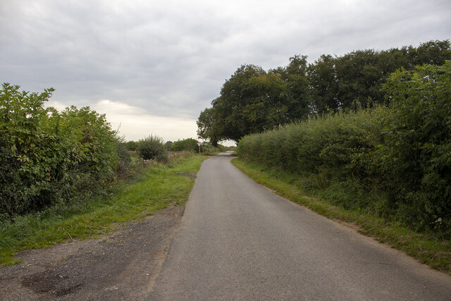
Brimpsfield is a civil parish located in the county of Gloucestershire, England. Situated in the Cotswolds Area of Outstanding Natural Beauty, it is a picturesque village surrounded by rolling hills and stunning countryside. The parish covers an area of approximately 7 square miles and is located about 7 miles northeast of the town of Cirencester.
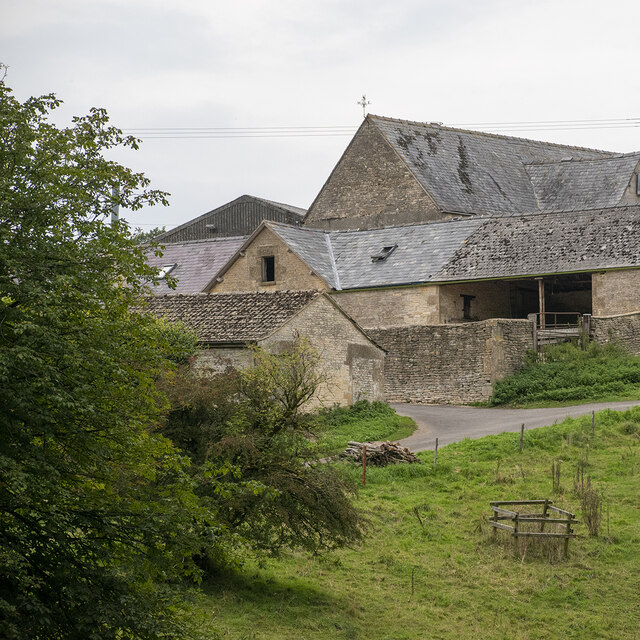
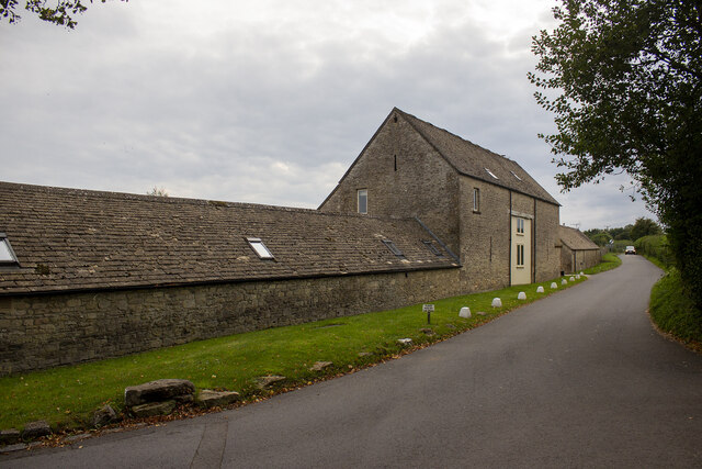
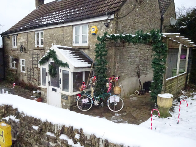
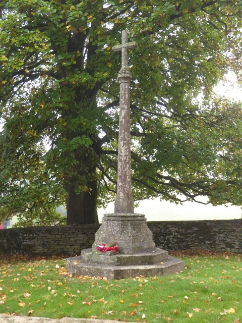
Brimpsfield is a small and close-knit community with a population of around 200 people. The village itself is characterized by its charming stone houses, many of which date back to the 17th and 18th centuries, giving it a quintessentially English feel. The centerpiece of Brimpsfield is the Church of St. Michael and All Angels, a beautiful medieval church that stands proudly in the heart of the village.
Despite its small size, Brimpsfield has a strong sense of community and offers a range of amenities to its residents. These include a village hall, a primary school, and a popular pub called The Royal George. The village also hosts various events and activities throughout the year, such as the Brimpsfield Music Society concerts and the Brimpsfield Flower Show.
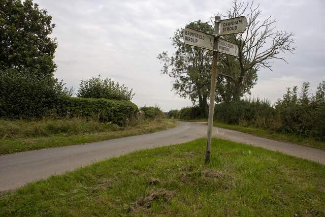
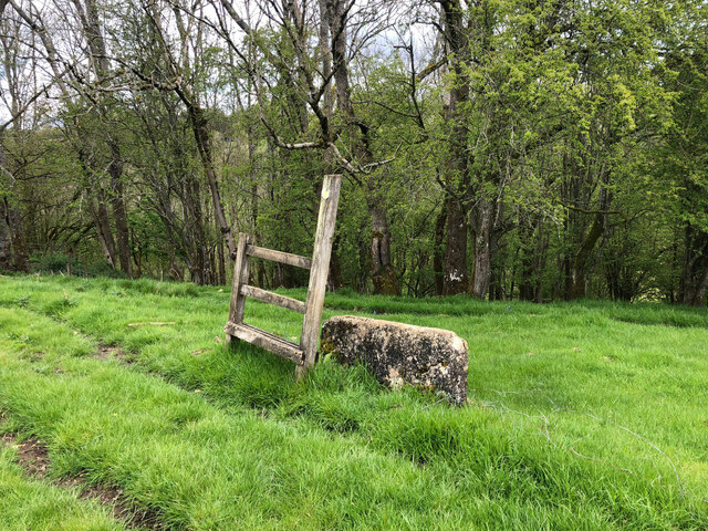
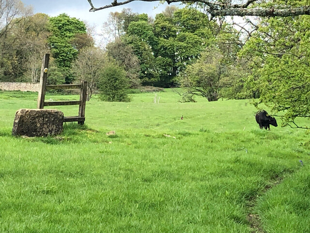
For nature enthusiasts and outdoor lovers, Brimpsfield offers plenty of opportunities to explore the surrounding countryside. The village is located near the Cotswold Way, a famous long-distance trail that stretches for 102 miles and offers breathtaking views of the Cotswolds. It is also close to the Cotswold Water Park, a large nature reserve with numerous lakes and wetlands.
Overall, Brimpsfield is a charming and idyllic village that offers a peaceful and picturesque setting for its residents and visitors alike.
If you have any feedback on the listing, please let us know in the comments section below.
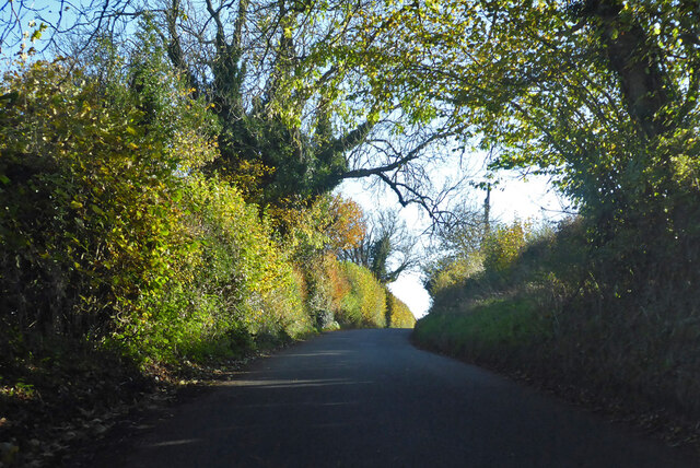
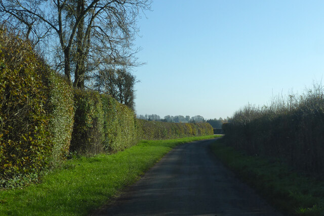
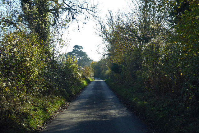
Brimpsfield Images
Images are sourced within 2km of 51.809217/-2.096773 or Grid Reference SO9312. Thanks to Geograph Open Source API. All images are credited.


Brimpsfield is located at Grid Ref: SO9312 (Lat: 51.809217, Lng: -2.096773)
Administrative County: Gloucestershire
District: Cotswold
Police Authority: Gloucestershire
What 3 Words
///purses.sprinkler.replayed. Near Shurdington, Gloucestershire
Nearby Locations
Related Wikis

Brimpsfield Priory
Brimpsfield Priory was a Benedictine monastic foundation in Brimpsfield, Gloucestershire, England, a cell or grange of the Abbey of Saint-Wandrille in...

Church of St Michael, Brimpsfield
The Anglican Church of St Michael at Brimpsfield in the Cotswold District of Gloucestershire, England was built in 12th century. It is a grade I listed...

Brimpsfield
Brimpsfield is a village in Gloucestershire, England. The village is recorded in Domesday Book as Brimesfelde. Brimpsfield Castle was built in the village...

Bushley Muzzard, Brimpsfield
Bushley Muzzard, Brimpsfield (grid reference SO944133) is a 1.13-hectare (2.8-acre) biological Site of Special Scientific Interest in Gloucestershire,...

Church of St Mary the Virgin, Syde
The Anglican Church of St Mary the Virgin at Syde in the Cotswold District of Gloucestershire, England was built in the early 12th century. It is a grade...

Syde
Syde, often in the past spelt Side, is a small village and civil parish in Gloucestershire, England. It lies in the Cotswolds, near the source of the River...
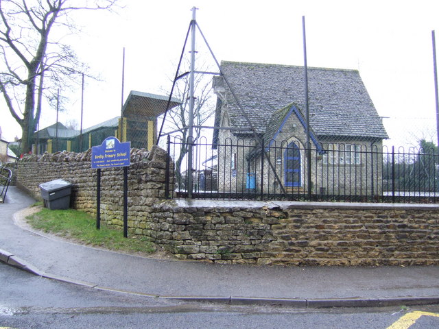
Birdlip
Birdlip is a village and civil parish, in the Cotswold district, in the county of Gloucestershire, England. It is in the Cotswolds Area of Outstanding...

Barrow Wake
Barrow Wake is a scenic view in Gloucestershire, near Birdlip, England. Barrow Wake was used as the location for the music video "Wytches" by Pagan Rock...
Nearby Amenities
Located within 500m of 51.809217,-2.096773Have you been to Brimpsfield?
Leave your review of Brimpsfield below (or comments, questions and feedback).