Brimpsfield

Settlement in Gloucestershire Cotswold

England

Brimpsfield

Crossroads and signpost
Crossroads and signpost Credit: P Gaskell

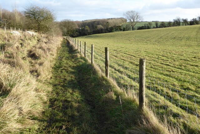
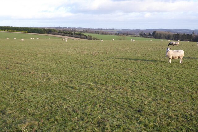
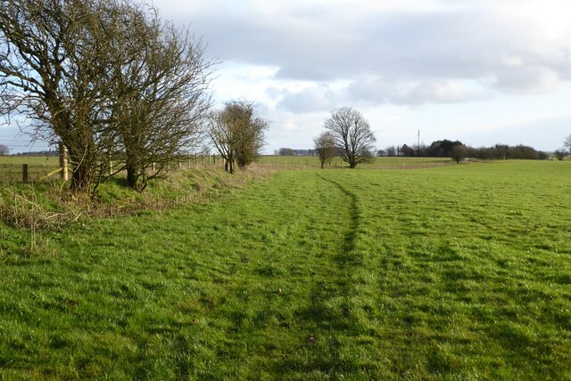
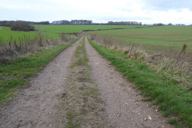
Brimpsfield is a small village located in the Cotswold District of Gloucestershire, England. Situated on the edge of the Cotswolds Area of Outstanding Natural Beauty, it offers residents and visitors a picturesque and tranquil setting. The village is nestled amidst rolling hills and surrounded by stunning countryside, making it a popular destination for nature lovers, hikers, and cyclists.

With a population of around 300 people, Brimpsfield has a close-knit community that prides itself on its friendly atmosphere. The village is home to a 12th-century parish church, St. Michael and All Angels, which stands as a testament to its rich history. Brimpsfield also boasts a traditional pub, The Royal George, where locals and tourists alike can enjoy a pint of locally brewed ale and sample classic British pub food.

The surrounding area offers plenty of outdoor activities, including walking trails such as the Cotswold Way and the Gloucestershire Way. The nearby Chedworth Roman Villa, an important archaeological site, attracts history enthusiasts from far and wide. Additionally, the village is within easy reach of the larger towns of Cirencester and Cheltenham, providing residents with access to a wider range of amenities, shopping, and entertainment options.

Brimpsfield enjoys a peaceful and idyllic lifestyle, offering a charming retreat from the hustle and bustle of city life. Its natural beauty, historic landmarks, and welcoming community make it an attractive place to live or visit for those seeking a rural escape in the heart of the Gloucestershire countryside.

If you have any feedback on the listing, please let us know in the comments section below.
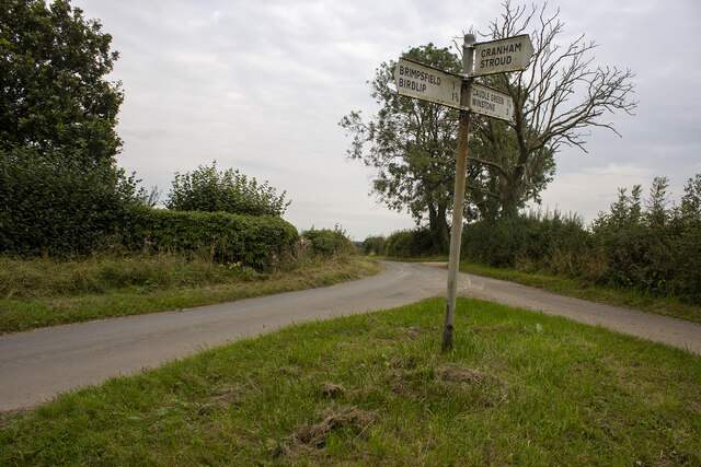
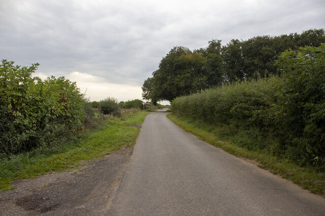
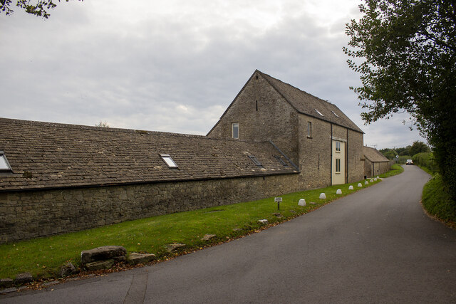
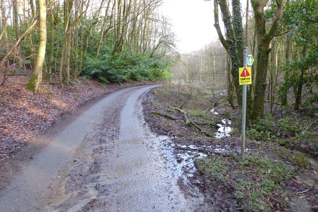
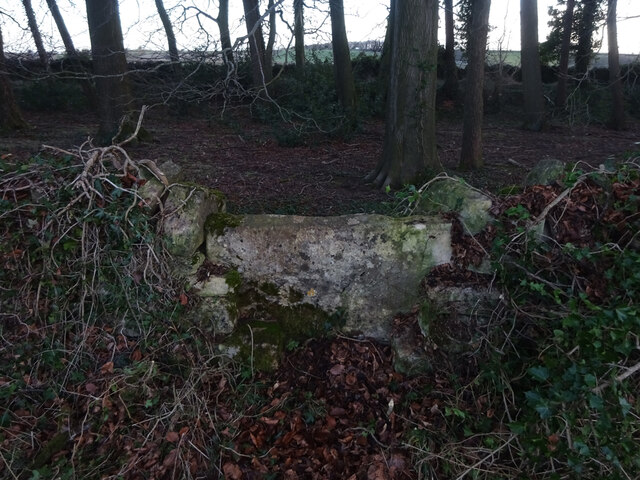
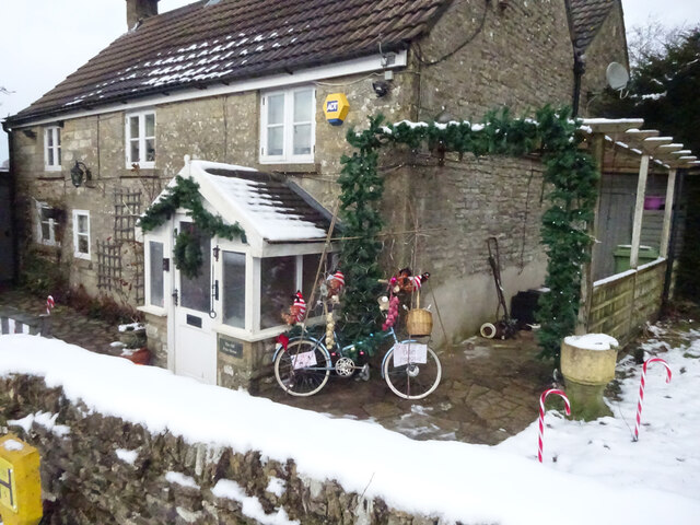
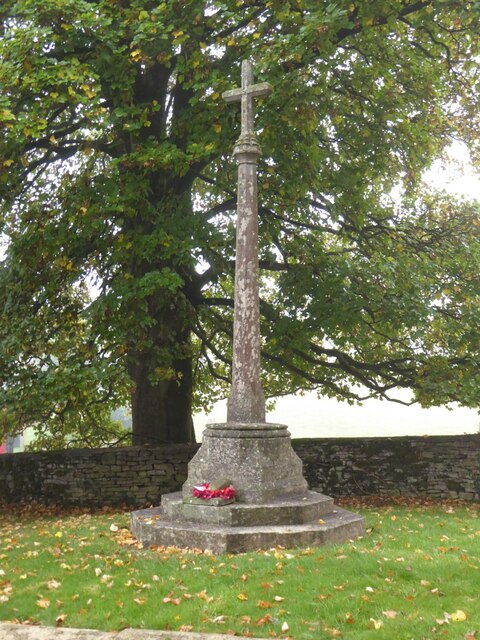
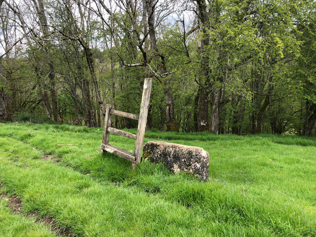
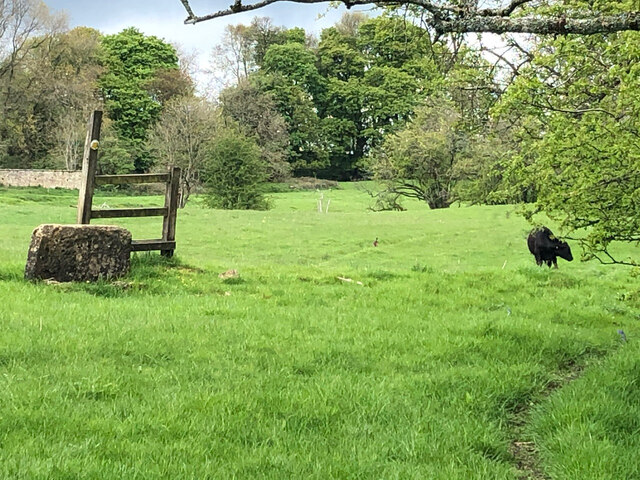
Brimpsfield Images

Images are sourced within 2km of 51.813125/-2.089311 or Grid Reference SO9312. Thanks to Geograph Open Source API. All images are credited.

Crossroads and signpost
Crossroad and woodland Crossroad and woodland near Longdole Polo Club
Crossroad and woodland
Crossroad and woodland near Longdole Polo Club
Converted vernacular farm buildings
Brimsfield Park Farm
Watercombe Farm
Watercombe Farm
Road entering Harcombe Bottom
Bridleway to Barcombe Bottom A similar view to this picture <a href="https://www.geograph.org.uk/photo/1155031">SO9513 : Snow covered farmland, near Cowley</a> I took in February 2009 after a fall of snow.
Bridleway to Barcombe Bottom
A similar view to this picture SO9513 : Snow covered farmland, near Cowley I took in February 2009 after a fall of snow.
Farmland above Cowley Sheep grazing on farmland above Cowley.
Farmland above Cowley
Sheep grazing on farmland above Cowley.
Farmland near Stockwell A public right of way follows the field boundary on the left.
Farmland near Stockwell
A public right of way follows the field boundary on the left.
Track and footpath Track and footpath to Barrow Wake.
Track and footpath
Track and footpath to Barrow Wake.
Stone Stile, Elkstone Not on a registered footpath, this affords access to the woodland and the well trodden path leads to the private house "Highgate". This is the view from the woodland, the alternative view from the road is <a href="https://www.geograph.org.uk/photo/7104422">SO9512 : Stone Stile, Elkstone</a>.
Stone Stile, Elkstone
Not on a registered footpath, this affords access to the woodland and the well trodden path leads to the private house "Highgate". This is the view from the woodland, the alternative view from the road is SO9512 : Stone Stile, Elkstone.
Stone Stile, Elkstone Not on a registered footpath, this affords access to the woodland and the well trodden path leads to the private house "Highgate" to the West. This is the view from the road, the alternative view from the woodland is <a href="https://www.geograph.org.uk/photo/7104421">SO9512 : Stone Stile, Elkstone</a>.
Stone Stile, Elkstone
Not on a registered footpath, this affords access to the woodland and the well trodden path leads to the private house "Highgate" to the West. This is the view from the road, the alternative view from the woodland is SO9512 : Stone Stile, Elkstone.
Toll House, Birdlip The Old Pyke House, on the original part of the Ermin Way. Used by the Cirencester (Gloucester District) Turnpike Trust.

Milestone Society National ID: GL.BRI
Toll House, Birdlip
The Old Pyke House, on the original part of the Ermin Way. Used by the Cirencester (Gloucester District) Turnpike Trust. Milestone Society National ID: GL.BRI
Grassy field south of Stockwell A crop of haylage appears to have been taken from here.
Grassy field south of Stockwell
A crop of haylage appears to have been taken from here.
Lane from Stockwell Looking towards the A417.
Lane from Stockwell
Looking towards the A417.
Brimpsfield war memorial Coincidentally I photographed this war memorial almost fifteen years ago to the day <a href="https://www.geograph.org.uk/photo/584586">SO9312 : Brimpsfield War Memorial</a>.
Brimpsfield war memorial
Coincidentally I photographed this war memorial almost fifteen years ago to the day SO9312 : Brimpsfield War Memorial.
Stone Stile, Syde To the NW of the village on Gloucestershire footpath BBR29 looking East to Ostrich Wood. 
The View North looking at the enclosure walls of an abandoned hamlet 
called Eddington is <a href="https://www.geograph.org.uk/photo/7329990">SO9411 : Stone Stile, Syde</a>.
Stone Stile, Syde
To the NW of the village on Gloucestershire footpath BBR29 looking East to Ostrich Wood. The View North looking at the enclosure walls of an abandoned hamlet called Eddington is SO9411 : Stone Stile, Syde.
Stone Stile, Syde To the NW of the village on Gloucestershire footpath BBR29 looking North looking at the enclosure wall
of an abandoned hamlet called Eddington.
The view East to Ostrich Wood is <a href="https://www.geograph.org.uk/photo/7329988">SO9411 : Stone Stile, Syde</a>.
Stone Stile, Syde
To the NW of the village on Gloucestershire footpath BBR29 looking North looking at the enclosure wall of an abandoned hamlet called Eddington. The view East to Ostrich Wood is SO9411 : Stone Stile, Syde.
Show me another place!

Brimpsfield is located at Grid Ref: SO9312 (Lat: 51.813125, Lng: -2.089311)

Administrative County: Gloucestershire

District: Cotswold

Police Authority: Gloucestershire

What 3 Words

///sizing.whiplash.aimed. Near Shurdington, Gloucestershire

Nearby Locations

Brimpsfield Brimpsfield

Related Wikis

Brimpsfield Priory

Brimpsfield Priory was a Benedictine monastic foundation in Brimpsfield, Gloucestershire, England, a cell or grange of the Abbey of Saint-Wandrille in...

Church of St Michael, Brimpsfield

The Anglican Church of St Michael at Brimpsfield in the Cotswold District of Gloucestershire, England was built in 12th century. It is a grade I listed...

Bushley Muzzard, Brimpsfield

Bushley Muzzard, Brimpsfield (grid reference SO944133) is a 1.13-hectare (2.8-acre) biological Site of Special Scientific Interest in Gloucestershire,...

Brimpsfield

Brimpsfield is a village in Gloucestershire, England. The village is recorded in Domesday Book as Brimesfelde. Brimpsfield Castle was built in the village...
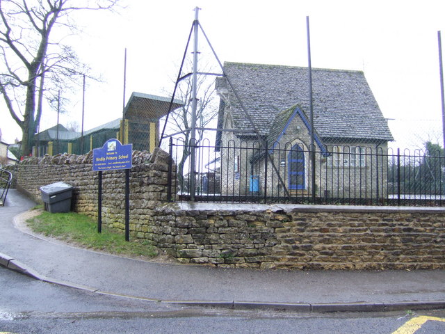
Birdlip

Birdlip is a village and civil parish, in the Cotswold district, in the county of Gloucestershire, England. It is in the Cotswolds Area of Outstanding...

Church of St Mary the Virgin, Syde

The Anglican Church of St Mary the Virgin at Syde in the Cotswold District of Gloucestershire, England was built in the early 12th century. It is a grade...

Syde

Syde, often in the past spelt Side, is a small village and civil parish in Gloucestershire, England. It lies in the Cotswolds, near the source of the River...

Barrow Wake

Barrow Wake is a scenic view in Gloucestershire, near Birdlip, England. Barrow Wake was used as the location for the music video "Wytches" by Pagan Rock...

Nearby Amenities

Located within 500m of 51.813125,-2.089311
Brimpsfield
Place: village
Wikidata: Q2233040
Wikipedia: en:Brimpsfield
Lat/Long: 51.8121951/-2.0894409
Bus Stop
War Memorial
Naptan AtcoCode: 1600GL675
Naptan Bearing: E
Naptan CommonName: War Memorial
Naptan NaptanCode: glodpwja
Naptan Street: Birdlip Rd
Naptan Verified: no
Source: naptan_import
Lat/Long: 51.8132342/-2.0893303
Bus Stop
War Memorial
Naptan AtcoCode: 1600GL676
Naptan Bearing: W
Naptan BusStopType: CUS
Naptan CommonName: War Memorial
Naptan NaptanCode: glodpwgp
Naptan Street: Birdlip Rd
Naptan Verified: no
Source: naptan_import
Lat/Long: 51.8130474/-2.0893346
Post Box
Collection Times: Mo-Fr 16:30; Sa 09:00
Drive Through: no
Operator: Royal Mail
Post Box Type: wall
Ref: GL4 124
Royal Cypher: EVIIR
Royal Cypher Wikidata: Q33102324
Source: Survey in person with geo-tagged photo.
Lat/Long: 51.8123132/-2.090161
The Brimpsfield Telephone Kiosk
Booth: K6
Disused Amenity: telephone
Museum: history
Public Bookcase Type: phone_box
Source: survey
Tourism: museum
Lat/Long: 51.8129209/-2.0894194
Barrier: stile
Lat/Long: 51.8145843/-2.0868611
Give Way
Direction: backward
Lat/Long: 51.81095/-2.0890751
Parking
Lat/Long: 51.8139296/-2.090504
Parking
Lat/Long: 51.8136145/-2.0905201
Brimpsfield War Memorial
Historic: memorial
Memorial: war_memorial
Lat/Long: 51.8131586/-2.0893989
Give Way
Direction: forward
Lat/Long: 51.8132099/-2.0892678
Give Way
Direction: forward
Lat/Long: 51.8123486/-2.0893592
The data included in this document is from www.openstreetmap.org. The data is made available under ODbL.

Have you been to Brimpsfield?

Leave your review of Brimpsfield below (or comments, questions and feedback).