Brimps Hill
Settlement in Gloucestershire Forest of Dean
England
Brimps Hill
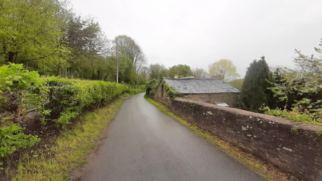
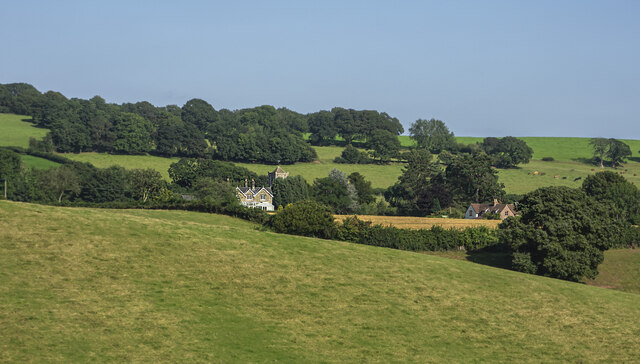
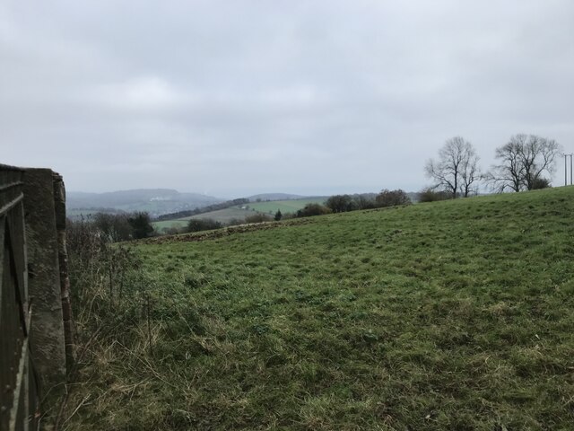
Brimps Hill is a picturesque village located in the county of Gloucestershire, England. Situated on the edge of the Cotswolds, this charming village offers stunning views of the surrounding countryside. Brimps Hill is part of the larger area known as the Cotswold Area of Outstanding Natural Beauty, which attracts visitors from all over the world.
The village itself is small, with a population of around 300 residents. It is known for its quaint and well-preserved stone cottages, which date back several centuries. The architecture in Brimps Hill is a mix of traditional Cotswold stone buildings and more modern constructions.
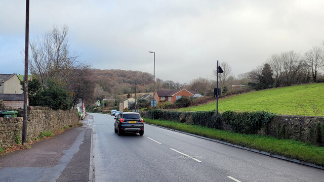
One of the notable features of Brimps Hill is its peaceful atmosphere. Surrounded by rolling hills and lush green fields, it provides a tranquil escape from the hustle and bustle of city life. The village is also home to a small but thriving community, with a local pub, village hall, and a primary school.
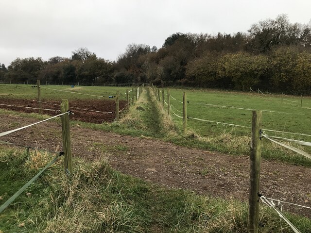
For outdoor enthusiasts, Brimps Hill offers a range of recreational activities. The surrounding countryside is perfect for walking, hiking, and cycling, with numerous footpaths and trails to explore. The village is also within close proximity to several nature reserves and country parks, providing opportunities for birdwatching and wildlife spotting.
Overall, Brimps Hill is a hidden gem in Gloucestershire, offering a peaceful and idyllic setting for residents and visitors alike. With its stunning natural beauty and charming village atmosphere, it is a must-visit destination for those seeking a taste of rural England.
If you have any feedback on the listing, please let us know in the comments section below.
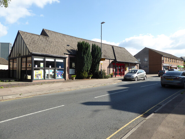
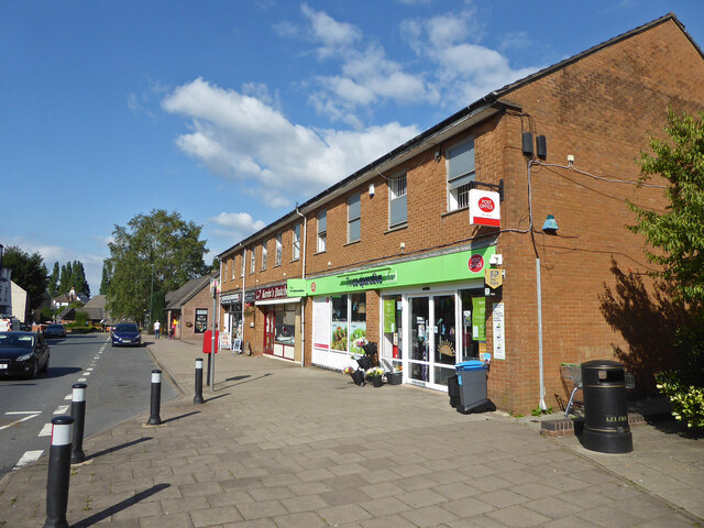
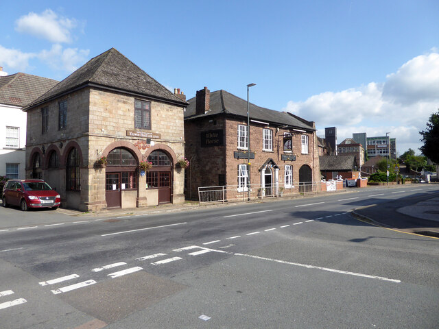
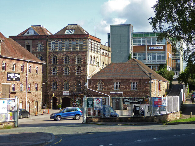
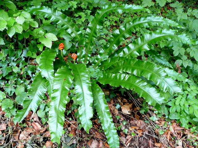
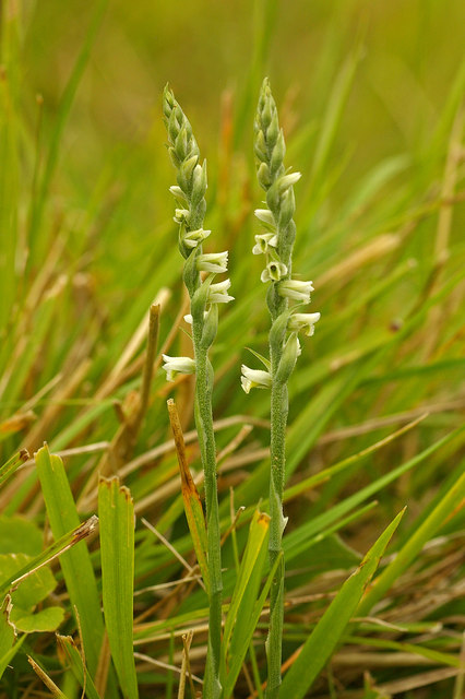
Brimps Hill Images
Images are sourced within 2km of 51.859602/-2.4805902 or Grid Reference SO6718. Thanks to Geograph Open Source API. All images are credited.


Brimps Hill is located at Grid Ref: SO6718 (Lat: 51.859602, Lng: -2.4805902)
Administrative County: Gloucestershire
District: Forest of Dean
Police Authority: Gloucestershire
What 3 Words
///proves.surfed.breezy. Near Mitcheldean, Gloucestershire
Nearby Locations
Related Wikis
Abenhall
Abenhall is a small village and former civil parish, now in the parish of Mitcheldean, in the Forest of Dean district, in the county of Gloucestershire...

Dene Magna School
Dene Magna School is a secondary school in Mitcheldean, Gloucestershire, England. The school takes both girls and boys, and has 1005 pupils aged between...
Land Grove Quarry, Mitcheldean
Land Grove Quarry, Mitcheldean (grid reference SO672185) is a 3.8-hectare (9.4-acre) geological Site of Special Scientific Interest in Gloucestershire...

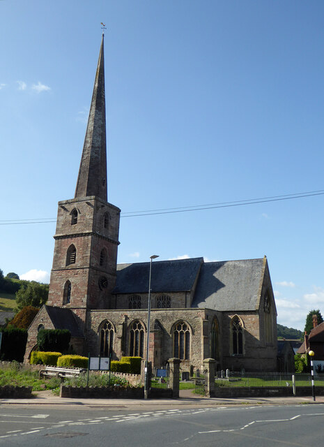
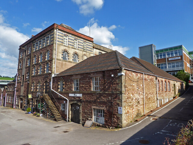
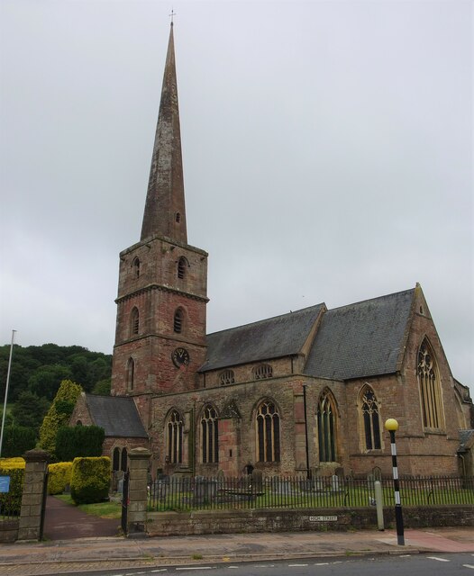
Mitcheldean
Mitcheldean is a market town in the Forest of Dean in Gloucestershire, England. == History == Mitcheldean was a thriving community for many centuries due...

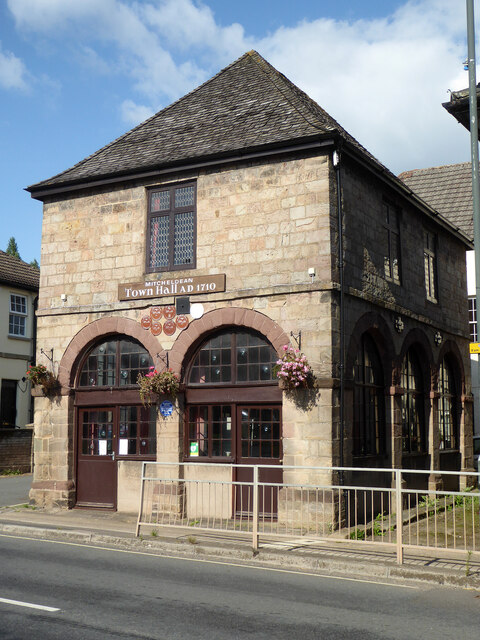
Mitcheldean Town Hall
Mitcheldean Town Hall is a municipal building in the High Street in Mitcheldean, Gloucestershire, England. The structure, which operates as the offices...
Stenders Quarry
Stenders Quarry (grid reference SO659183) is a 2.8-hectare (6.9-acre) biological and geological Site of Special Scientific Interest in the Forest of Dean...

Boxbush
Boxbush is a village in Gloucestershire, England. == References ==
Plump Hill Dolomite Quarry
Plump Hill Dolomite Quarry (grid reference SO661171) is a 4.5-hectare (11-acre) nature reserve in Gloucestershire in the Forest of Dean.The site is managed...
Nearby Amenities
Located within 500m of 51.859602,-2.4805902Have you been to Brimps Hill?
Leave your review of Brimps Hill below (or comments, questions and feedback).