Brimps Hill
Hill, Mountain in Gloucestershire Forest of Dean
England
Brimps Hill
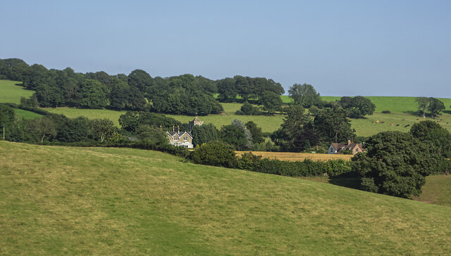
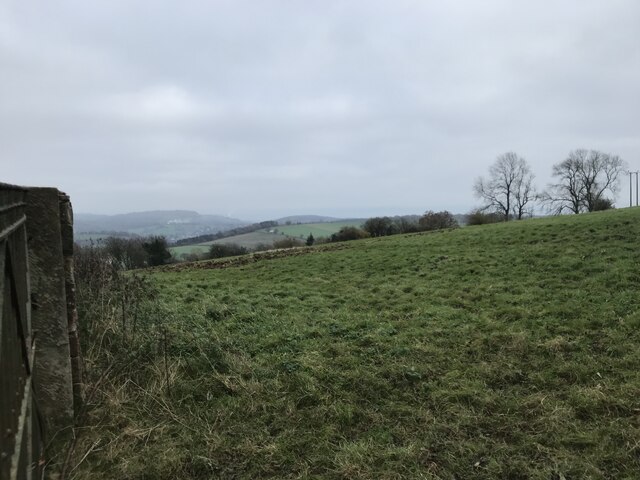
Brimps Hill is a prominent natural feature located in the county of Gloucestershire, England. Situated near the village of Chedworth, this hill is part of the stunning Cotswolds landscape, renowned for its rolling hills and picturesque surroundings. Brimps Hill is situated at an elevation of approximately 230 meters (750 feet), making it a notable hill in the region.
The hill is predominantly covered in lush greenery, with patches of woodland and open grassland dotting its slopes. The vegetation on Brimps Hill consists of a mix of native species, including oak, beech, and ash trees, as well as various types of grasses and wildflowers. This diverse ecosystem supports a range of wildlife, including birds, small mammals, and insects.
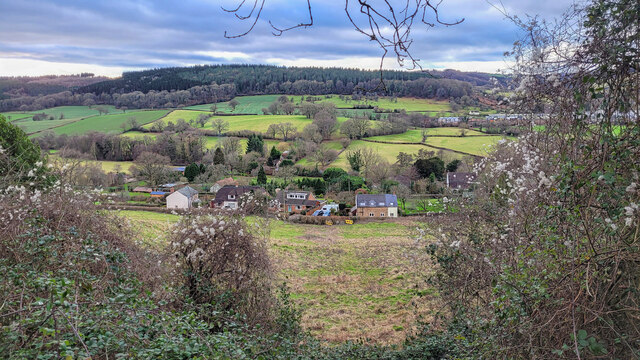
Brimps Hill offers breathtaking panoramic views of the surrounding countryside, including the Chedworth Valley and the neighboring hills. The hill's vantage point makes it a popular spot for hikers, nature enthusiasts, and photographers. Several footpaths and trails traverse the area, allowing visitors to explore the hill and its surroundings.
In addition to its natural beauty, Brimps Hill also holds historical significance. The nearby Chedworth Roman Villa, a well-preserved Roman villa dating back to the 4th century, adds to the area's cultural heritage. The hill's proximity to this archaeological site makes it an attractive destination for history buffs and archaeology enthusiasts.
Overall, Brimps Hill is a captivating natural landmark in Gloucestershire, offering visitors a chance to immerse themselves in the scenic beauty of the Cotswolds while also providing insights into the region's rich history.
If you have any feedback on the listing, please let us know in the comments section below.
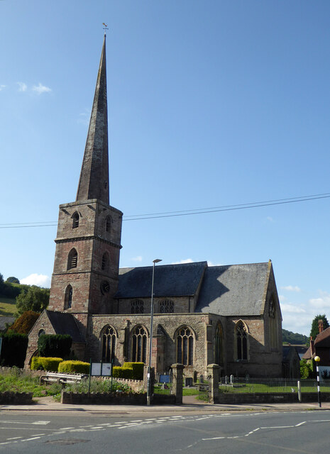
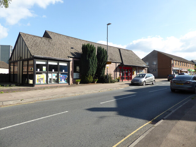
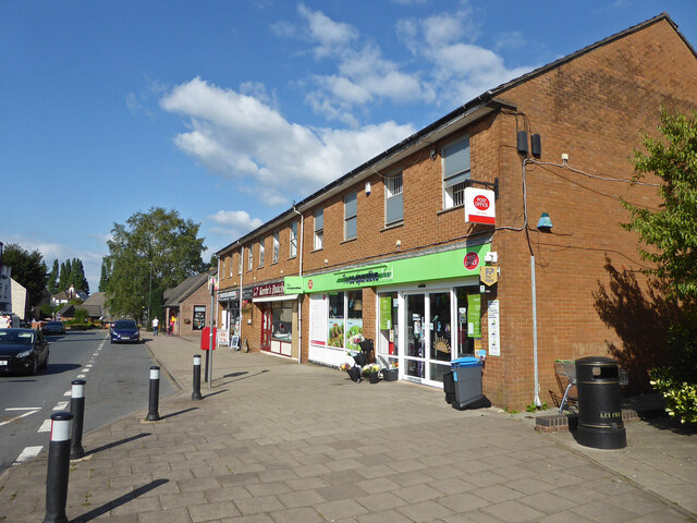
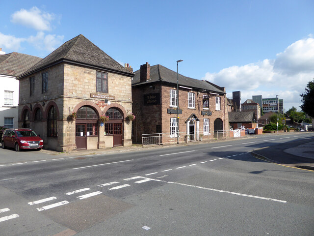
Brimps Hill Images
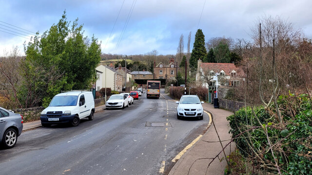
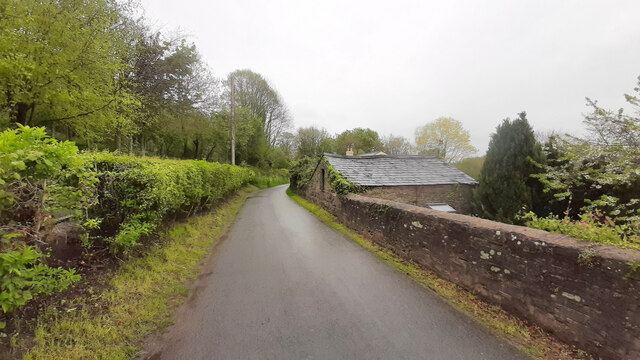
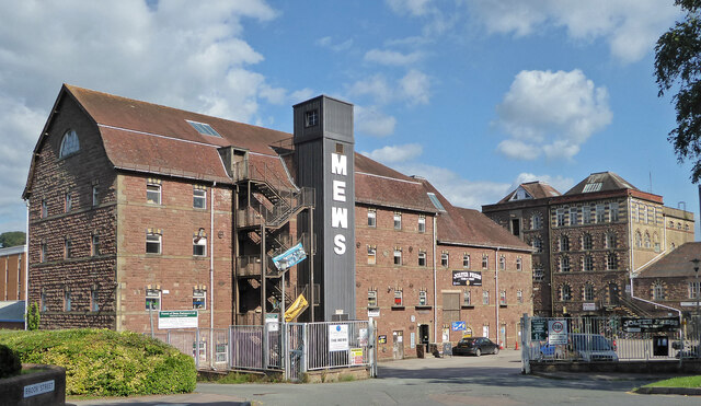
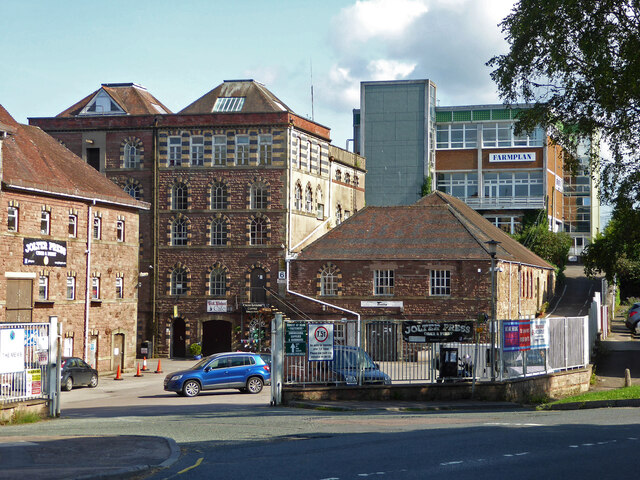
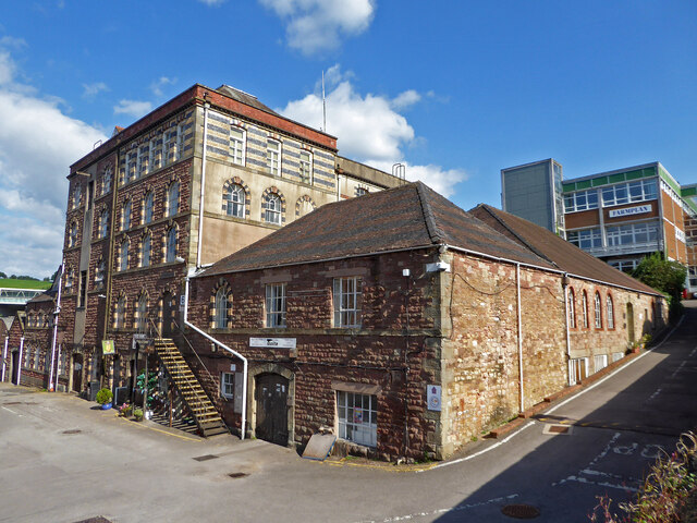
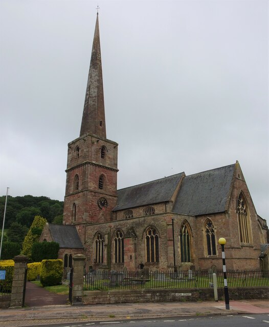
Images are sourced within 2km of 51.862802/-2.4674094 or Grid Reference SO6718. Thanks to Geograph Open Source API. All images are credited.


Brimps Hill is located at Grid Ref: SO6718 (Lat: 51.862802, Lng: -2.4674094)
Administrative County: Gloucestershire
District: Forest of Dean
Police Authority: Gloucestershire
What 3 Words
///stress.cute.crusaders. Near Longhope, Gloucestershire
Nearby Locations
Related Wikis

Land Grove Quarry, Mitcheldean
Land Grove Quarry, Mitcheldean (grid reference SO672185) is a 3.8-hectare (9.4-acre) geological Site of Special Scientific Interest in Gloucestershire...

Longhope
Longhope is a village in west Gloucestershire, situated within the Forest of Dean, England, United Kingdom. Arthur Bullock, who was born in Longhope in...
Abenhall
Abenhall is a small village and former civil parish, now in the parish of Mitcheldean, in the Forest of Dean district, in the county of Gloucestershire...

Boxbush
Boxbush is a village in Gloucestershire, England. == References ==
Dene Magna School
Dene Magna School is a secondary school in Mitcheldean, Gloucestershire, England. The school takes both girls and boys, and has 1005 pupils aged between...

Longhope railway station
Longhope railway station is a disused stone-built railway station that served the village of Longhope in Gloucestershire, England. Opened in 1855 with...
Longhope Hill
Longhope Hill (grid reference SO693185) is a 0.2-hectare (0.49-acre) geological Site of Special Scientific Interest in Gloucestershire, notified in 1989...

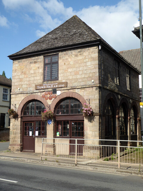
Mitcheldean Town Hall
Mitcheldean Town Hall is a municipal building in the High Street in Mitcheldean, Gloucestershire, England. The structure, which operates as the offices...
Nearby Amenities
Located within 500m of 51.862802,-2.4674094Have you been to Brimps Hill?
Leave your review of Brimps Hill below (or comments, questions and feedback).