Press Hill
Hill, Mountain in Somerset South Somerset
England
Press Hill
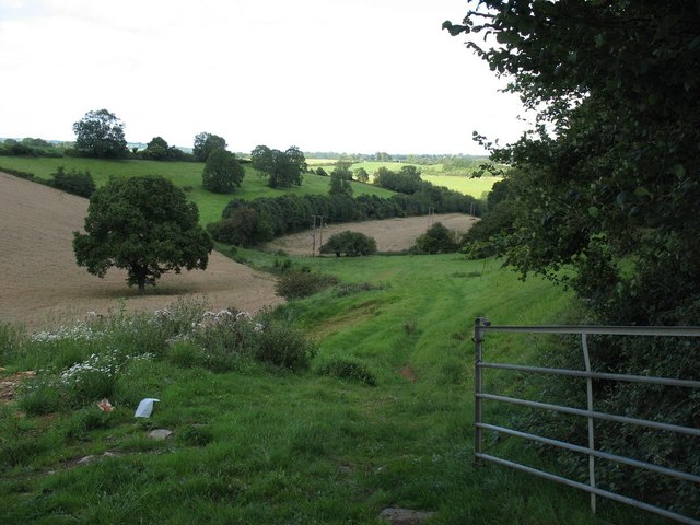
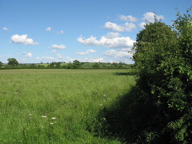
Press Hill is a prominent hill located in the county of Somerset, England. Situated approximately 2 miles northwest of the town of Frome, it forms part of the Mendip Hills Area of Outstanding Natural Beauty. Rising to an elevation of 200 meters (656 feet), Press Hill offers breathtaking panoramic views of the surrounding countryside.
This hill is characterized by its gently sloping sides and a relatively flat summit, making it easily accessible for hikers and nature enthusiasts. Its well-maintained footpaths and trails provide an ideal opportunity for visitors to explore the area and enjoy the scenic beauty of the Somerset countryside.
The hill is covered in a diverse range of vegetation, including grassland, heather, and woodland, which supports a variety of wildlife. From birds and butterflies to small mammals and reptiles, Press Hill offers a natural habitat for numerous species.
Press Hill is also recognized for its historical significance. It is home to an Iron Age hillfort, dating back to the late Bronze Age or early Iron Age. The remains of this ancient settlement can still be seen today, including earthworks and ramparts, providing a glimpse into the region's rich history.
The hill is a popular destination for outdoor activities such as walking, hiking, and picnicking. Its serene atmosphere, coupled with its stunning views, makes it an attractive spot for locals and tourists alike. Whether it's a leisurely stroll or a challenging hike, Press Hill offers a rewarding experience for all.
If you have any feedback on the listing, please let us know in the comments section below.
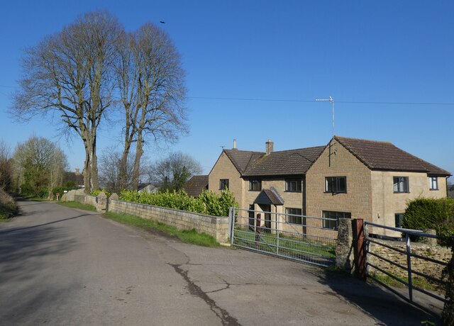
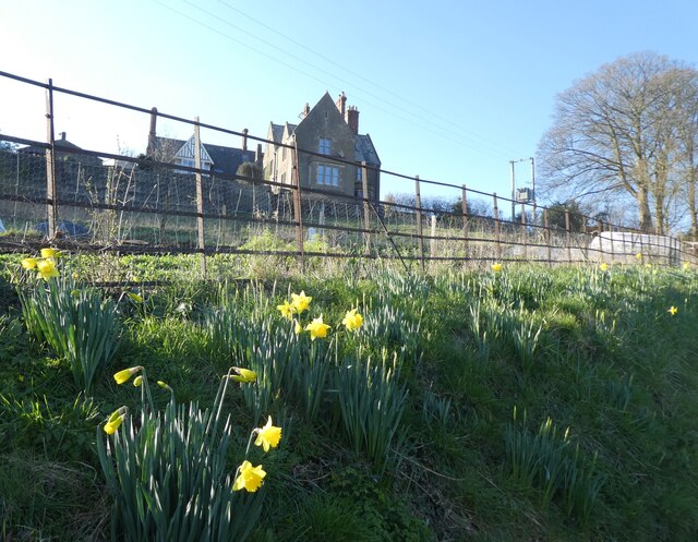
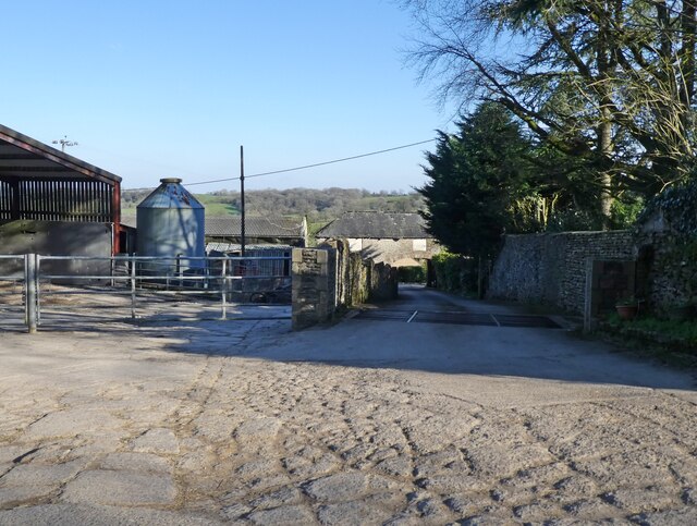
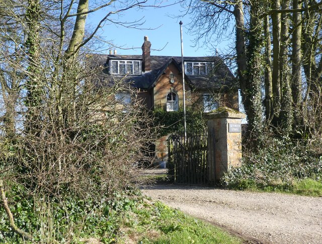
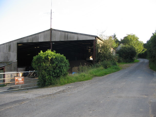
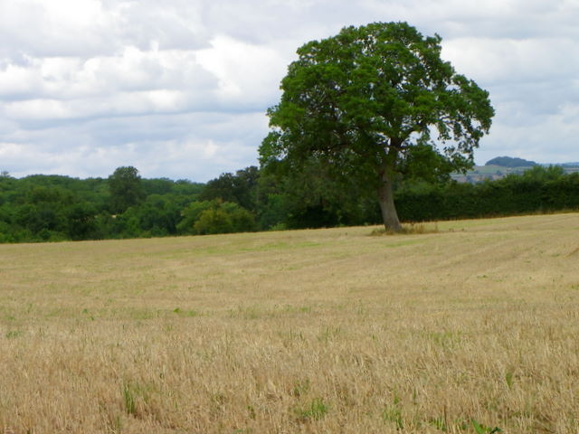
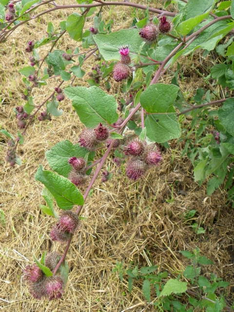
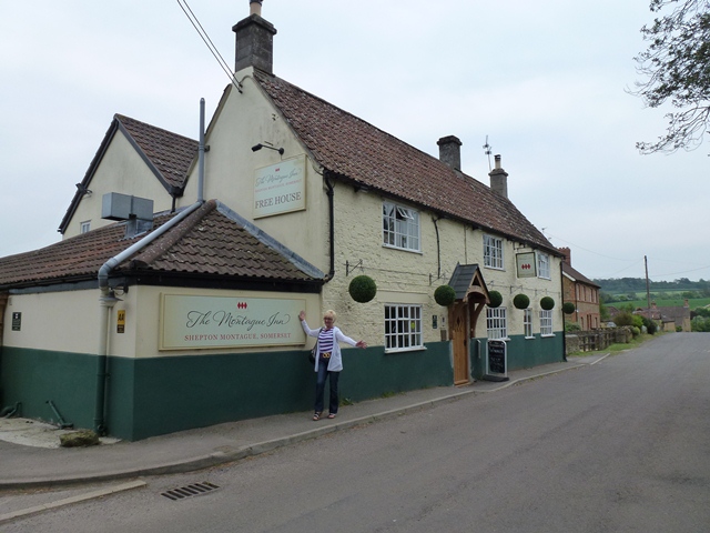
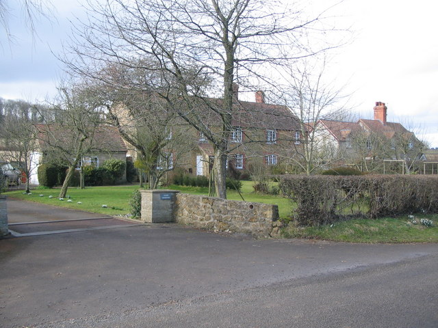
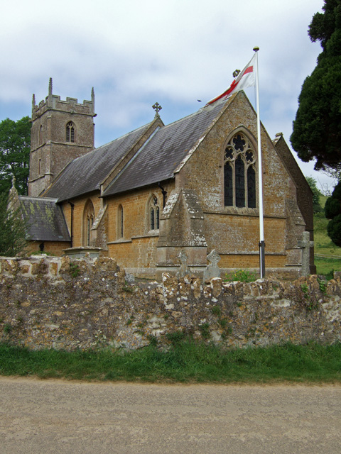
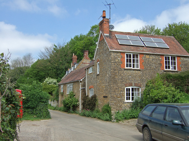
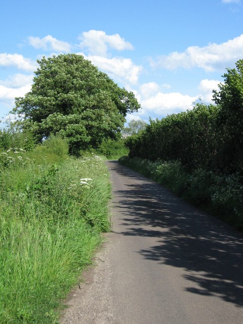
Press Hill Images
Images are sourced within 2km of 51.08062/-2.459451 or Grid Reference ST6731. Thanks to Geograph Open Source API. All images are credited.

Press Hill is located at Grid Ref: ST6731 (Lat: 51.08062, Lng: -2.459451)
Administrative County: Somerset
District: South Somerset
Police Authority: Avon and Somerset
What 3 Words
///catch.sensibly.refusals. Near Redlynch, Somerset
Nearby Locations
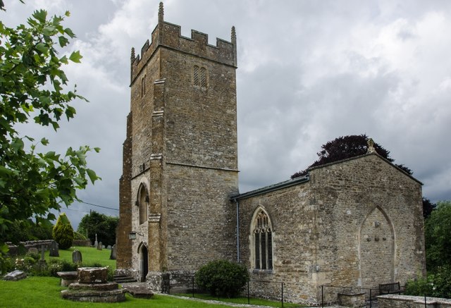
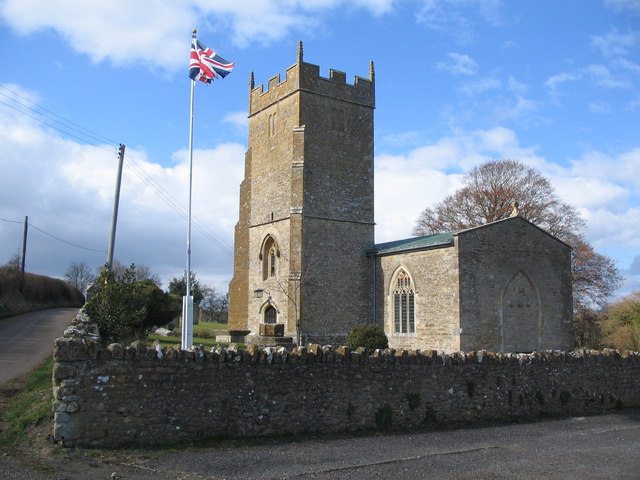
Related Wikis

Shepton Montague
Shepton Montague is a village and civil parish in Somerset, England, United Kingdom. It is situated on the River Pitt in the South Somerset district midway...

Shepton Montague Railway Cutting
Shepton Montague Railway Cutting (grid reference ST686316) is a 1.61 hectare geological Site of Special Scientific Interest at Shepton Montague in Somerset...

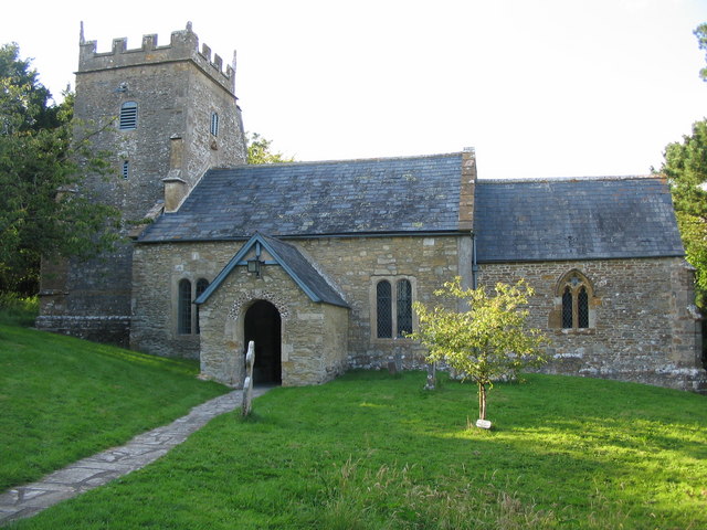
Church of St Nicholas, Bratton Seymour
The Anglican Church of St Nicholas in Bratton Seymour, Somerset, England, was built in the 13th century. It is a Grade II* listed building. == History... ==
Bratton Seymour
Bratton Seymour is a village and civil parish in Somerset, England, situated on a tributary of the River Brue 4 miles (6.4 km) south-east of Castle Cary...

Bruton School for Girls
Bruton School for Girls was an independent day and boarding school for girls aged 2 to 18, near Pitcombe in Bruton in south east Somerset, England. By...

Pitcombe
Pitcombe is a village and civil parish 1 mile (2 km) south-west of Bruton and 5 miles (8 km) from Wincanton in Somerset, England. It has a population of...

Cole (for Bruton) railway station
Cole (for Bruton) railway station was a station on the Somerset and Dorset Railway in South Somerset, serving the village of Cole, which is now virtually...
Hadspen Quarry
Hadspen Quarry is a stone quarry in Somerset, England. It is shown on Ordnance Survey maps for 1888–90, and may have been in operation for a considerable...
Nearby Amenities
Located within 500m of 51.08062,-2.459451Have you been to Press Hill?
Leave your review of Press Hill below (or comments, questions and feedback).