Higher Shepton
Settlement in Somerset South Somerset
England
Higher Shepton
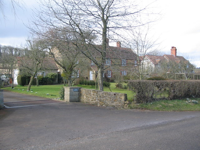
Higher Shepton is a small village located in the county of Somerset, England. Situated approximately 3 miles east of Shepton Mallet, the village is nestled in a picturesque rural setting.
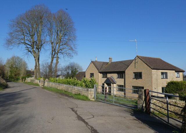
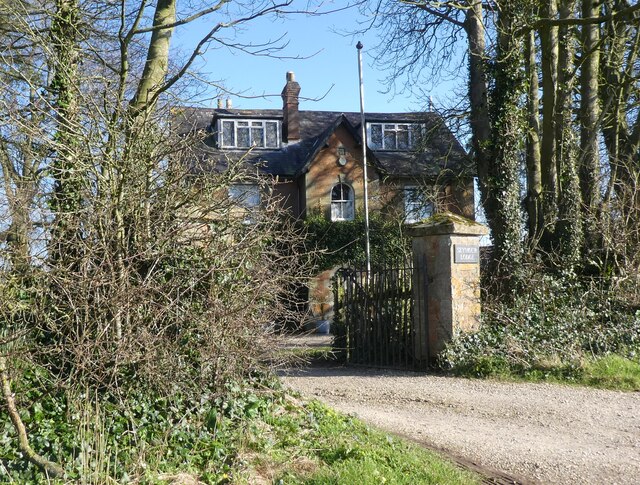
With a population of around 500 residents, Higher Shepton is known for its peaceful and close-knit community. The village's history dates back centuries, and it is often praised for its well-preserved traditional buildings and charming architecture.
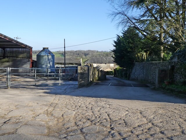
The local economy in Higher Shepton is centered around agriculture, with many residents involved in farming and livestock raising. The rolling hills and fertile soil make it an ideal location for agricultural activities. The village is also home to a few small businesses, such as a local pub and a convenience store, catering to the needs of the community.
Higher Shepton benefits from its proximity to the larger town of Shepton Mallet, which provides additional amenities and services. Residents have easy access to schools, healthcare facilities, and a wider range of shops and restaurants.
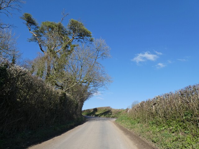
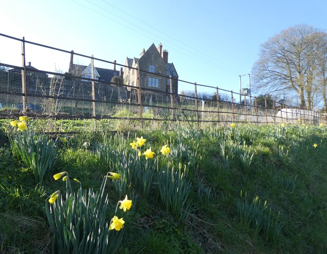
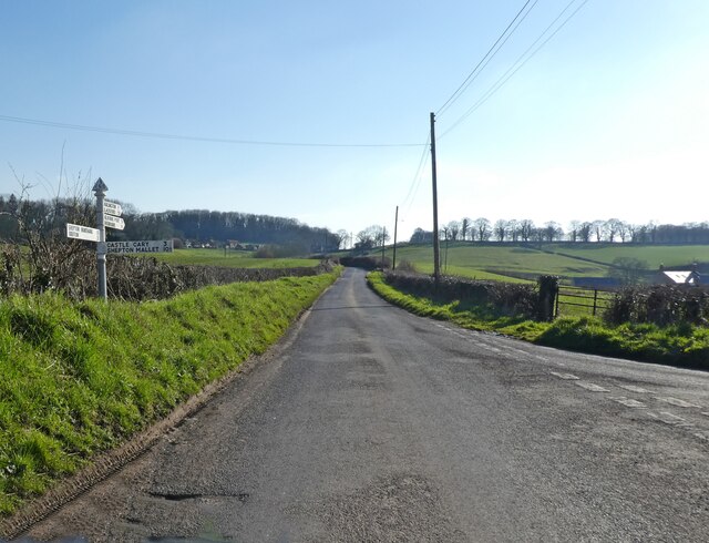
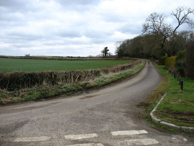
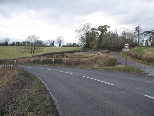
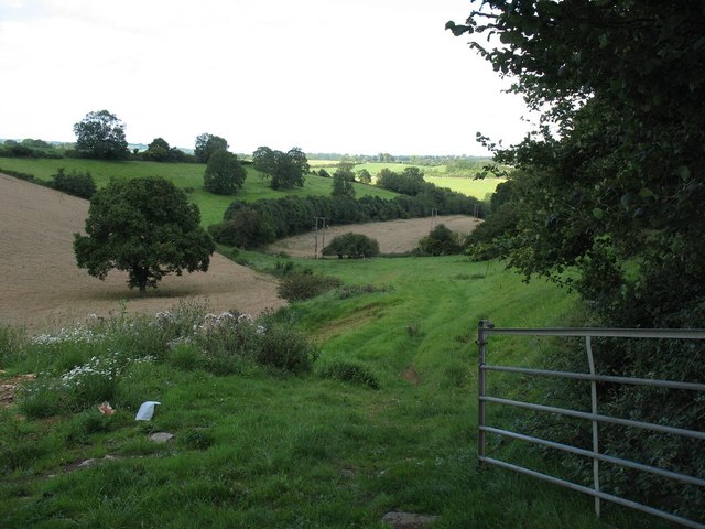
The village is surrounded by natural beauty, with scenic countryside views and plenty of opportunities for outdoor activities. There are several walking paths and hiking trails that allow residents and visitors to explore the stunning landscapes and enjoy the tranquility of the area.
Overall, Higher Shepton offers a peaceful and idyllic lifestyle, with a strong sense of community and a connection to its rural heritage.
If you have any feedback on the listing, please let us know in the comments section below.
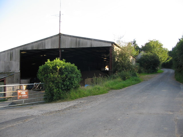
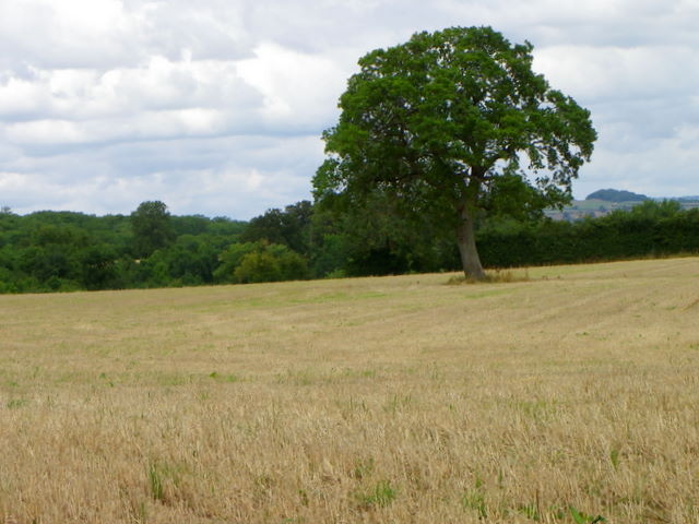
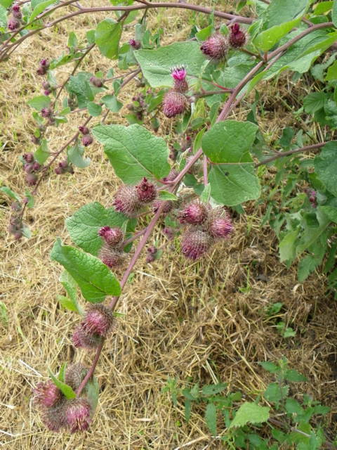
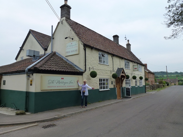
Higher Shepton Images
Images are sourced within 2km of 51.080482/-2.4670871 or Grid Reference ST6731. Thanks to Geograph Open Source API. All images are credited.
Higher Shepton is located at Grid Ref: ST6731 (Lat: 51.080482, Lng: -2.4670871)
Administrative County: Somerset
District: South Somerset
Police Authority: Avon and Somerset
What 3 Words
///necklace.skippers.branch. Near Castle Cary, Somerset
Nearby Locations
Related Wikis

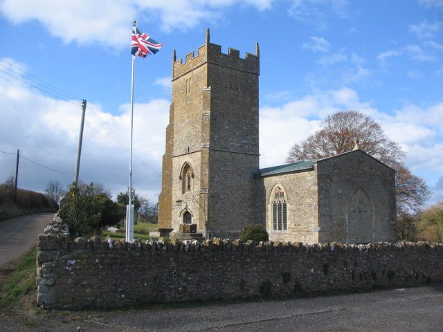
Shepton Montague
Shepton Montague is a village and civil parish in Somerset, England, United Kingdom. It is situated on the River Pitt in the South Somerset district midway...

Shepton Montague Railway Cutting
Shepton Montague Railway Cutting (grid reference ST686316) is a 1.61 hectare geological Site of Special Scientific Interest at Shepton Montague in Somerset...

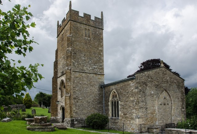
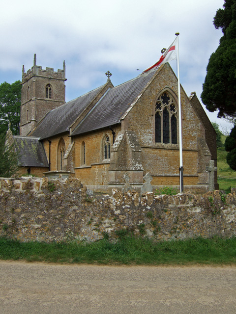
Church of St Nicholas, Bratton Seymour
The Anglican Church of St Nicholas in Bratton Seymour, Somerset, England, was built in the 13th century. It is a Grade II* listed building. == History... ==
Bratton Seymour
Bratton Seymour is a village and civil parish in Somerset, England, situated on a tributary of the River Brue 4 miles (6.4 km) south-east of Castle Cary...
Hadspen Quarry
Hadspen Quarry is a stone quarry in Somerset, England. It is shown on Ordnance Survey maps for 1888–90, and may have been in operation for a considerable...

Hadspen House
Hadspen House of Hadspen, Somerset, England is built of Cary stone, mined from Hadspen Quarry. The stone is a soft limestone known for its deep burnt-orange...

Cole (for Bruton) railway station
Cole (for Bruton) railway station was a station on the Somerset and Dorset Railway in South Somerset, serving the village of Cole, which is now virtually...

Bruton School for Girls
Bruton School for Girls was an independent day and boarding school for girls aged 2 to 18, near Pitcombe in Bruton in south east Somerset, England. By...
Nearby Amenities
Located within 500m of 51.080482,-2.4670871Have you been to Higher Shepton?
Leave your review of Higher Shepton below (or comments, questions and feedback).