Higher Stanbear

Settlement in Cornwall

England

Higher Stanbear

Wind & rain at the Cheeswring, Minions, Cornwall Cold, Wind & rain in mid September, 2017.
Wind & rain at the Cheeswring, Minions, Cornwall Credit: david coombes

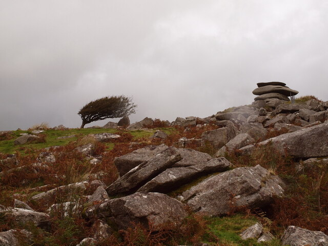
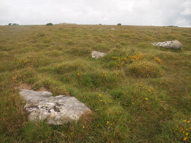
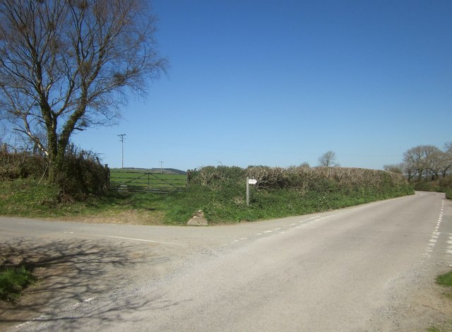
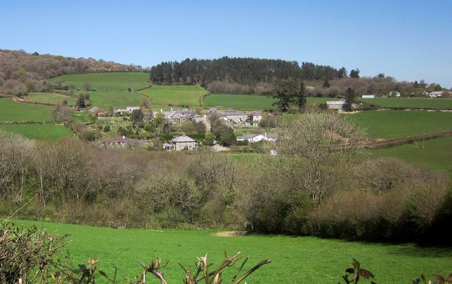
Higher Stanbear is a small village located in Cornwall, England. Situated in the scenic countryside, the village is known for its picturesque views and tranquil atmosphere. The village is surrounded by rolling hills and lush greenery, making it a popular destination for nature lovers and outdoor enthusiasts.

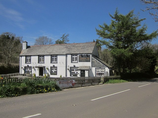
Higher Stanbear has a small population, with a close-knit community that is known for its friendly and welcoming atmosphere. The village has a few local amenities, including a pub, a small convenience store, and a post office. Residents of Higher Stanbear often gather at these establishments to socialize and catch up with one another.

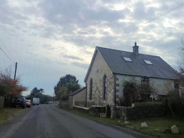
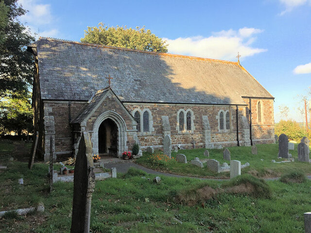
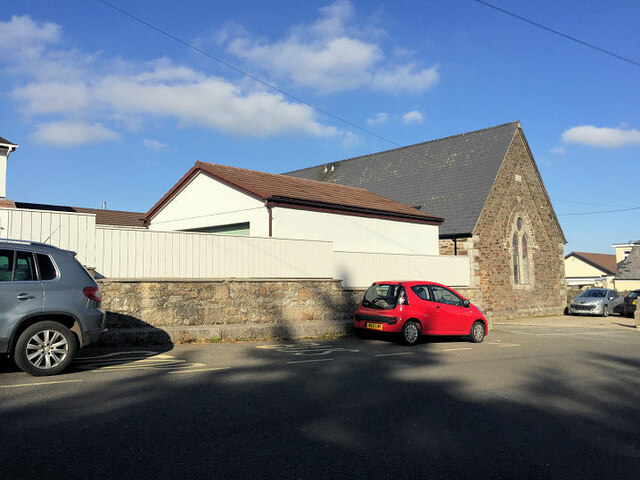
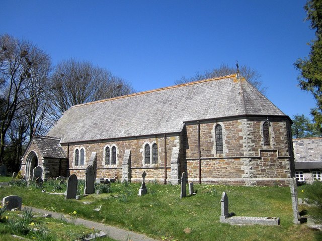
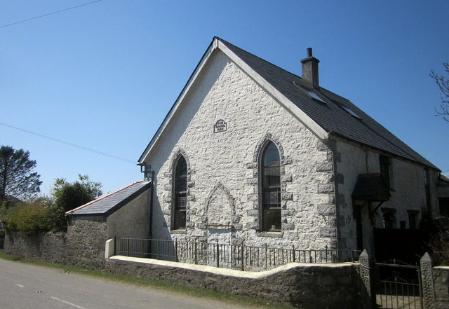
The village is also home to a number of historic buildings, including a church that dates back to the 12th century. The architecture in Higher Stanbear reflects its long history, with many buildings featuring traditional Cornish design elements.

Overall, Higher Stanbear is a charming and peaceful village that offers a quiet retreat from the hustle and bustle of city life. Visitors to the village can enjoy the beautiful countryside, explore the historic landmarks, and experience the warm hospitality of the local community.

If you have any feedback on the listing, please let us know in the comments section below.

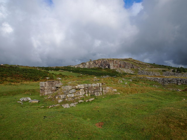
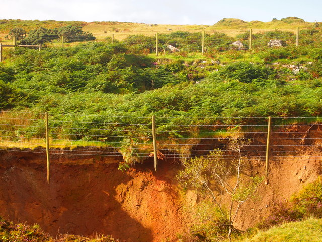
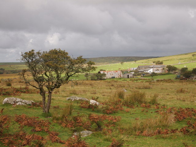
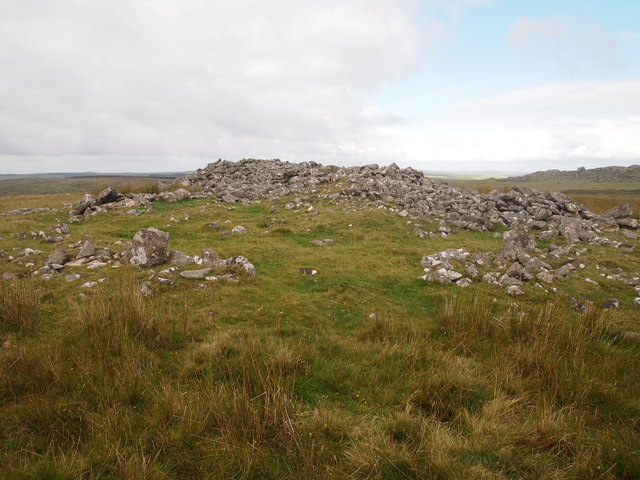
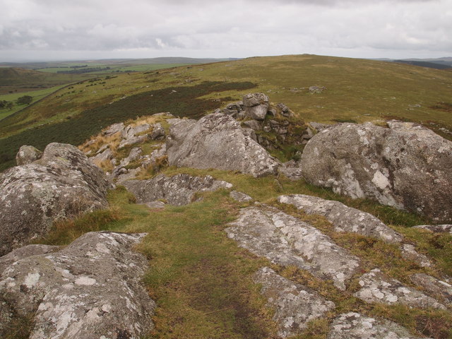
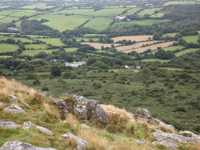
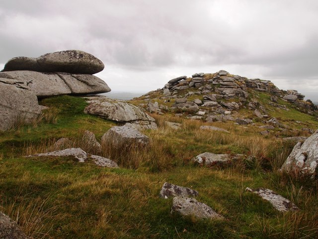
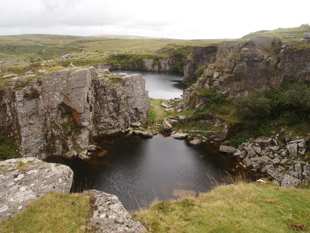
Higher Stanbear Images

Images are sourced within 2km of 50.529006/-4.4498183 or Grid Reference SX2672. Thanks to Geograph Open Source API. All images are credited.

Wind & rain at the Cheeswring, Minions, Cornwall Cold, Wind & rain in mid September, 2017.
Wind & rain at the Cheeswring, Minions, Cornwall
Cold, Wind & rain in mid September, 2017.
Cheesewring Old Chapel
St Paul's Church, Upton Cross
Former Wesleyan Methodist Chapel
Surface Remains of Mine, Below Stowe's Hill
Collapsed Shaft Near Minions
Wardbrook Farm
Wardbrook Farm
Cairns, Langstone Downs
Sharp Tor
Sharp Tor
Henwood From Sharp Tor
Bearah Tor
Bearah Tor
Disused Quarry, Craddock Moor
Stone Circle on Craddock Moor
Treovis Cross A crossroads on the B3254 that is more or less on a grid line. The right turn here is shown in <a href="https://www.geograph.org.uk/photo/4446942">SX2873 : Lane to Treovis</a>.
Treovis Cross
A crossroads on the B3254 that is more or less on a grid line. The right turn here is shown in SX2873 : Lane to Treovis.
Darley Farm From the same place on the B3254 as <a href="https://www.geograph.org.uk/photo/4447026">SX2772 : B3254 approaching Darleyford</a> looking across the valley of a tributary of the Lynher, and a grid line. Amid the farming hamlet is the listed farmhouse <span class="nowrap"><a title="http://www.historicengland.org.uk/listing/the-list/list-entry/1329173" rel="nofollow ugc noopener" href="http://www.historicengland.org.uk/listing/the-list/list-entry/1329173">Link</a><img style="margin-left:2px;" alt="External link" title="External link - shift click to open in new window" src="https://s1.geograph.org.uk/img/external.png" width="10" height="10"/></span> . Behind is Darley Wood.
Darley Farm
From the same place on the B3254 as SX2772 : B3254 approaching Darleyford looking across the valley of a tributary of the Lynher, and a grid line. Amid the farming hamlet is the listed farmhouse LinkExternal link . Behind is Darley Wood.
The Caradon Inn Another photo (see <a href="https://www.geograph.org.uk/photo/376937">SX2772 : The Caradon Inn</a>) of the pub beside the B3254. It is on the fringe of the designated area of the Cornwall and West Devon Mining Landscape.
The Caradon Inn
Another photo (see SX2772 : The Caradon Inn) of the pub beside the B3254. It is on the fringe of the designated area of the Cornwall and West Devon Mining Landscape.
St Paul's Church, Upton Cross A further image of the C19 church shown in <a href="https://www.geograph.org.uk/photo/376917">SX2872 : Upton Cross Church</a> and <a href="https://www.geograph.org.uk/photo/4447580">SX2872 : St Paul's Church, Upton Cross</a>, from the churchyard. A bit of a rookery in the background.
St Paul's Church, Upton Cross
A further image of the C19 church shown in SX2872 : Upton Cross Church and SX2872 : St Paul's Church, Upton Cross, from the churchyard. A bit of a rookery in the background.
Former Primitive Methodist Chapel, Minions More or less identical to <a href="https://www.geograph.org.uk/photo/525582">SX2671 : Converted Methodist Chapel in Minions</a>, and unachanged in eight years, but a chance to quote from <span class="nowrap"><a title="http://www.historic-cornwall.org.uk/cisi/minions/CISI_Minions_report.pdf" rel="nofollow ugc noopener" href="http://www.historic-cornwall.org.uk/cisi/minions/CISI_Minions_report.pdf">Link</a><img style="margin-left:2px;" alt="External link" title="External link - shift click to open in new window" src="https://s1.geograph.org.uk/img/external.png" width="10" height="10"/></span> : " in the second half of the nineteenth century Minions accommodated two chapels ... The larger of the two chapels is the former Primitive Methodist Chapel. It was built in 1863 when the majority of industry-related building took place in the village. Originally the 
chapel would have been positioned a small distance from the track joining the Gonamena Incline, but in 1877 the new railway line was constructed hard behind it. The essential character of the building still remains; the high 
pitched roof with original slates, tall lancet windows on the façade, the date stone and the original low front wall with railings. The chapel is now however a domestic building, the walls and quoins have been painted and there are velux windows in the roof."
Former Primitive Methodist Chapel, Minions
More or less identical to SX2671 : Converted Methodist Chapel in Minions, and unachanged in eight years, but a chance to quote from LinkExternal link : " in the second half of the nineteenth century Minions accommodated two chapels ... The larger of the two chapels is the former Primitive Methodist Chapel. It was built in 1863 when the majority of industry-related building took place in the village. Originally the chapel would have been positioned a small distance from the track joining the Gonamena Incline, but in 1877 the new railway line was constructed hard behind it. The essential character of the building still remains; the high pitched roof with original slates, tall lancet windows on the façade, the date stone and the original low front wall with railings. The chapel is now however a domestic building, the walls and quoins have been painted and there are velux windows in the roof."
Show me another place!

Higher Stanbear is located at Grid Ref: SX2672 (Lat: 50.529006, Lng: -4.4498183)

Unitary Authority: Cornwall

Police Authority: Devon and Cornwall

What 3 Words

///fussy.swimmer.bypassed. Near North Hill, Cornwall

Nearby Locations

Higher Stanbear

Related Wikis

Phoenix United Mine

Phoenix United Mine is a disused 19th century copper and tin mine in Cornwall, England, UK. Heavy metals left over in the soil from the mining operations...

Henwood, Cornwall

Henwood is a hamlet in the civil parish of Linkinhorne in east Cornwall, England. Henwood is on the edge of Bodmin Moor and situated between Stowe's Hill...

Sharptor

Sharptor is a hamlet west of Henwood in the civil parish of Linkinhorne in east Cornwall, England, United Kingdom. It is named after Sharp Tor on Bodmin...

Stowe's Hill

Stowe's Hill is an elongated hill, 381 metres (1,250 ft) high, located on the eastern edge of Bodmin Moor in the county of Cornwall, England.Stowe's Hill...

Nearby Amenities

Located within 500m of 50.529006,-4.4498183
Cheesewring Farm Caravan site
Access: customers
Email: info@cheesewringfarm.co.uk
Phone: +44 1579 362200
Power Supply: yes
Tourism: caravan_site
Website: https://www.explorecornwall.com/cornwall-campsites-caravan-parks.php
Lat/Long: 50.5276202/-4.4545031
Generator Method: wind_turbine
Generator Output Electricity: yes
Generator Source: wind
Generator Type: horizontal_axis
Note: Small wind turbine
Power: generator
Source: gps_survey;local knowledge
Lat/Long: 50.52654/-4.4547558
Barrier: stile
Material: wood
Source: survey;gps
Stile: stepover
Lat/Long: 50.5304353/-4.4445372
Barrier: stile
Material: wood
Source: survey;gps
Stile: stepover
Lat/Long: 50.5296437/-4.4441307
Barrier: stile
Material: stone
Source: survey;gps
Stile: stepover
Lat/Long: 50.5304211/-4.444525
Barrier: stile
Material: wood
Source: survey;gps
Stile: stepover
Lat/Long: 50.5314612/-4.4454182
Barrier: stile
Material: wood
Source: survey;gps
Stile: stepover
Lat/Long: 50.5323252/-4.4456382
Ford: yes
Lat/Long: 50.5293661/-4.4437485
Ford: yes
Lat/Long: 50.5273362/-4.448802
The data included in this document is from www.openstreetmap.org. The data is made available under ODbL.

Have you been to Higher Stanbear?

Leave your review of Higher Stanbear below (or comments, questions and feedback).