Bredicot
Civil Parish in Worcestershire Wychavon
England
Bredicot

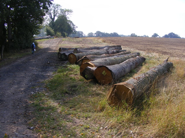
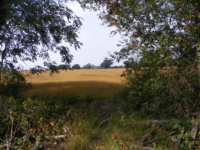
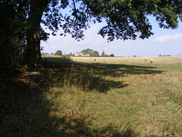
Bredicot is a small civil parish located in the county of Worcestershire in England. Situated just 4 miles east of the city of Worcester, Bredicot covers an area of around 3 square miles. The parish is bordered by the River Severn to the west and is surrounded by picturesque countryside, providing residents with a tranquil and rural setting.
Despite its small size, Bredicot has a rich history that dates back many centuries. The name Bredicot is believed to have Anglo-Saxon origins, meaning "cot by the breeding place or pen." The parish was mentioned in the Domesday Book of 1086, and remnants of its historical past can still be seen today.
Today, Bredicot is primarily a residential area with a small population. The village itself consists of a scattering of houses, farms, and cottages, giving it a charming and traditional feel. The community is close-knit, with a strong sense of local pride and a friendly atmosphere.
Although Bredicot is a relatively quiet parish, it benefits from its proximity to Worcester, where residents can access a wider range of amenities and services. The city offers a variety of shopping, leisure, and cultural opportunities, making it an ideal location for those seeking a balance between rural and urban living.
Overall, Bredicot is a peaceful and idyllic civil parish that offers residents a peaceful countryside setting while still being within easy reach of the nearby city of Worcester.
If you have any feedback on the listing, please let us know in the comments section below.
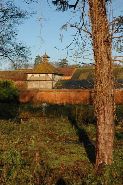
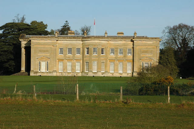
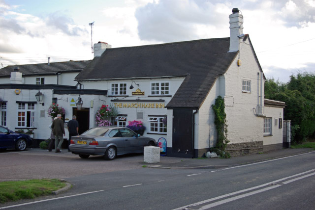
Bredicot Images
Images are sourced within 2km of 52.191856/-2.137451 or Grid Reference SO9054. Thanks to Geograph Open Source API. All images are credited.


Bredicot is located at Grid Ref: SO9054 (Lat: 52.191856, Lng: -2.137451)
Administrative County: Worcestershire
District: Wychavon
Police Authority: West Mercia
What 3 Words
///laptop.stick.rate. Near Worcester, Worcestershire
Nearby Locations
Related Wikis

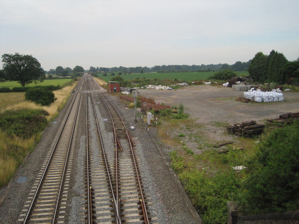
Bredicot railway station
Bredicot railway station served the village of Bredicot, Worcestershire, England, from 1845 to 1855 on the Birmingham and Gloucester Railway. == History... ==

Bredicot
Bredicot is a small village and civil parish in Worcestershire, England, about 4 miles (6.4 km) east of Worcester. It was formerly (as described in 1868...

A422 road
The A422 is an "A" road for east–west journeys in south central England, connecting the county towns of Bedford and Worcester by way of Milton Keynes,...
Spetchley railway station
Spetchley railway station was an intermediate stop on the Birmingham and Gloucester Railway, opened in 1840. Besides the village of Spetchley, it served...
Spetchley
Spetchley is a hamlet and civil parish in Worcestershire, England, that lies in the district of Wychavon, half a mile from Worcester, along the A44 road...
Spetchley Park
Spetchley Park is a country mansion standing in 4500 acres of gardens and parkland in the hamlet of Spetchley, near Worcester, England. The house and...

All Saints' Church, Spetchley
All Saints' Church, Spetchley, is a redundant Anglican church adjacent to Spetchley Park, Worcestershire, England. It is recorded in the National Heritage...
Broughton Hackett
Broughton Hackett is a village and civil parish in the Wychavon district of the county of Worcestershire, England. It is about 5 miles east of the city...
Nearby Amenities
Located within 500m of 52.191856,-2.137451Have you been to Bredicot?
Leave your review of Bredicot below (or comments, questions and feedback).