Bredicot Rough
Wood, Forest in Worcestershire Wychavon
England
Bredicot Rough

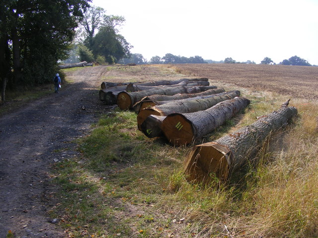
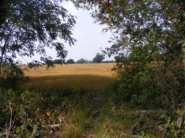
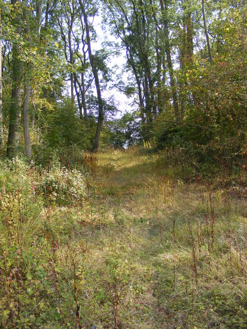
Bredicot Rough, located in Worcestershire, is a quaint woodland area known for its natural beauty and rich biodiversity. Spanning approximately 20 acres, this woodland is a popular destination for nature enthusiasts and those seeking a peaceful retreat.
The rough is predominantly composed of native broadleaf trees such as oak, ash, and birch, creating a dense canopy that provides shade and shelter for a variety of flora and fauna. The forest floor is covered in a lush carpet of ferns, bluebells, and other wildflowers, adding to the area's charm.
Visitors can explore Bredicot Rough through a network of well-maintained footpaths, allowing for leisurely walks and birdwatching opportunities. The woodland is home to a diverse range of bird species, including woodpeckers, tits, and warblers. Red squirrels can also be spotted in the area, adding to the appeal for wildlife enthusiasts.
The rough is managed by local conservation groups and volunteers, who work to maintain the natural habitat and protect the rare and endangered species that call it home. Regular events and educational programs are organized to promote environmental awareness among the local community and visitors.
With its tranquil setting and stunning natural surroundings, Bredicot Rough offers a peaceful escape from the hustle and bustle of everyday life. Whether it's a leisurely stroll or an immersive nature experience, this woodland provides a haven for those seeking a connection with nature.
If you have any feedback on the listing, please let us know in the comments section below.
Bredicot Rough Images
Images are sourced within 2km of 52.186553/-2.1423777 or Grid Reference SO9054. Thanks to Geograph Open Source API. All images are credited.


Bredicot Rough is located at Grid Ref: SO9054 (Lat: 52.186553, Lng: -2.1423777)
Administrative County: Worcestershire
District: Wychavon
Police Authority: West Mercia
What 3 Words
///clean.young.pops. Near Worcester, Worcestershire
Nearby Locations
Related Wikis

A422 road
The A422 is an "A" road for east–west journeys in south central England, connecting the county towns of Bedford and Worcester by way of Milton Keynes,...
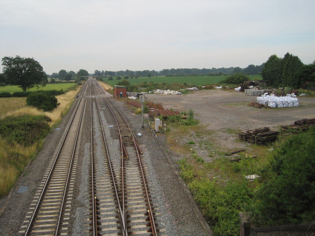
Spetchley railway station
Spetchley railway station was an intermediate stop on the Birmingham and Gloucester Railway, opened in 1840. Besides the village of Spetchley, it served...
Spetchley
Spetchley is a hamlet and civil parish in Worcestershire, England, that lies in the district of Wychavon, half a mile from Worcester, along the A44 road...

Bredicot
Bredicot is a small village and civil parish in Worcestershire, England, about 4 miles (6.4 km) east of Worcester. It was formerly (as described in 1868...
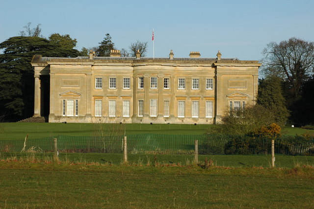
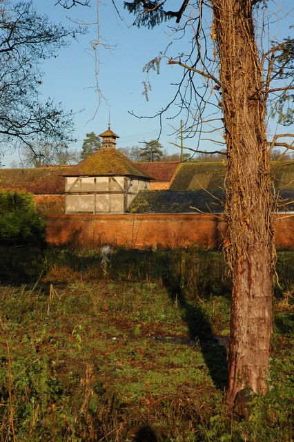
Spetchley Park
Spetchley Park is a country mansion standing in 4500 acres of gardens and parkland in the hamlet of Spetchley, near Worcester, England. The house and...

Bredicot railway station
Bredicot railway station served the village of Bredicot, Worcestershire, England, from 1845 to 1855 on the Birmingham and Gloucester Railway. == History... ==

All Saints' Church, Spetchley
All Saints' Church, Spetchley, is a redundant Anglican church adjacent to Spetchley Park, Worcestershire, England. It is recorded in the National Heritage...

Churchill, Wychavon
Churchill or Churchill by Spetchley is a village and civil parish 4 miles (6.4 km) from Worcester, in the Wychavon district, in the county of Worcestershire...
Nearby Amenities
Located within 500m of 52.186553,-2.1423777Have you been to Bredicot Rough?
Leave your review of Bredicot Rough below (or comments, questions and feedback).