Bredicot
Settlement in Worcestershire Wychavon
England
Bredicot

Bredicot is a small village located in the district of Wychavon, Worcestershire, England. It lies about 5 miles southeast of the city of Worcester and is surrounded by picturesque countryside. With a population of around 200 residents, Bredicot offers a tranquil and rural living environment.
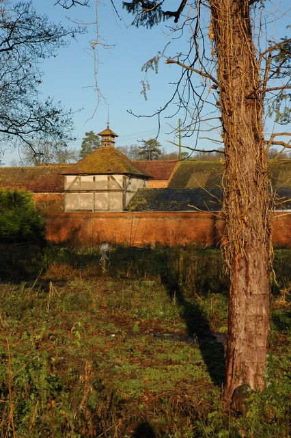
The village has a rich history dating back centuries. It is mentioned in the Domesday Book of 1086, where it is recorded as "Breticote." The village was once home to a medieval manor house, which has since been replaced by a modern farmhouse. Bredicot's historical charm can still be seen in some of its older buildings, such as the Grade II listed St. James Church, which dates back to the 12th century.
Despite its small size, Bredicot offers some amenities to its residents. The village has a community hall that serves as a venue for various events and gatherings. There are also a few local businesses, including a farm and a bed and breakfast establishment, which cater to visitors.
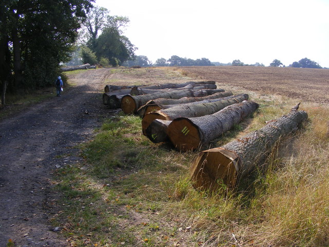
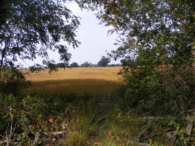
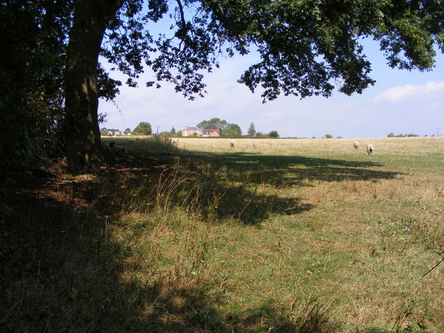
Nature lovers will appreciate the beautiful countryside surrounding Bredicot. The village is surrounded by rolling hills and farmland, providing ample opportunities for outdoor activities such as hiking and cycling. Bredicot also benefits from its proximity to nearby attractions, including the historic city of Worcester with its cathedral, museums, and shopping opportunities.
Overall, Bredicot is a charming rural village that offers a peaceful and idyllic setting for its residents, while still providing easy access to larger towns and amenities in the surrounding area.
If you have any feedback on the listing, please let us know in the comments section below.
Bredicot Images
Images are sourced within 2km of 52.192321/-2.138461 or Grid Reference SO9054. Thanks to Geograph Open Source API. All images are credited.


Bredicot is located at Grid Ref: SO9054 (Lat: 52.192321, Lng: -2.138461)
Administrative County: Worcestershire
District: Wychavon
Police Authority: West Merica
What 3 Words
///farms.pinch.gained. Near Fernhill Heath, Worcestershire
Nearby Locations
Related Wikis

Bredicot
Bredicot is a small village and civil parish in Worcestershire, England, about 4 miles (6.4 km) east of Worcester. It was formerly (as described in 1868...

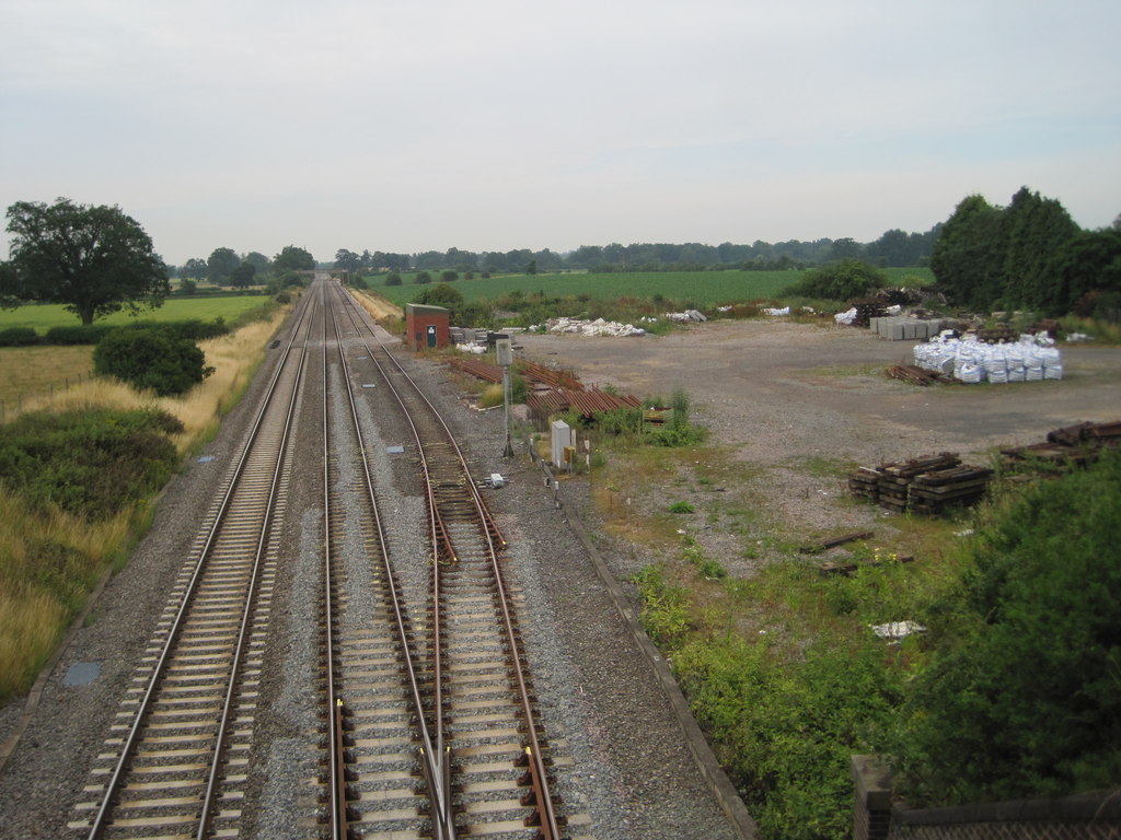
Bredicot railway station
Bredicot railway station served the village of Bredicot, Worcestershire, England, from 1845 to 1855 on the Birmingham and Gloucester Railway. == History... ==

A422 road
The A422 is an "A" road for east–west journeys in south central England, connecting the county towns of Bedford and Worcester by way of Milton Keynes,...
Spetchley
Spetchley is a hamlet and civil parish in Worcestershire, England, that lies in the district of Wychavon, half a mile from Worcester, along the A44 road...
Spetchley railway station
Spetchley railway station was an intermediate stop on the Birmingham and Gloucester Railway, opened in 1840. Besides the village of Spetchley, it served...
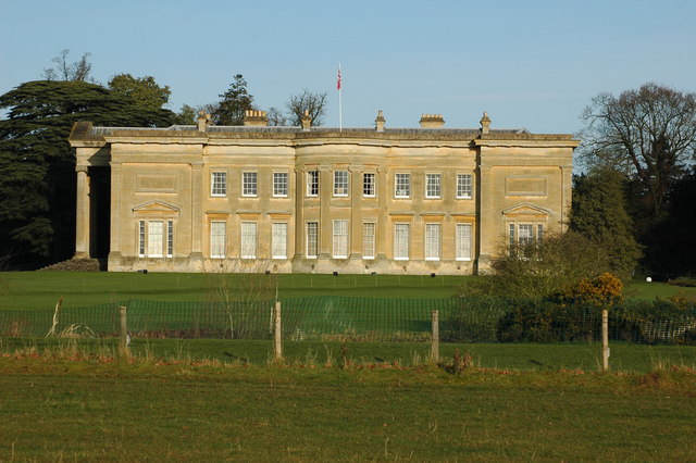
Spetchley Park
Spetchley Park is a country mansion standing in 4500 acres of gardens and parkland in the hamlet of Spetchley, near Worcester, England. The house and...

All Saints' Church, Spetchley
All Saints' Church, Spetchley, is a redundant Anglican church adjacent to Spetchley Park, Worcestershire, England. It is recorded in the National Heritage...
Broughton Hackett
Broughton Hackett is a village and civil parish in the Wychavon district of the county of Worcestershire, England. It is about 5 miles east of the city...
Nearby Amenities
Located within 500m of 52.192321,-2.138461Have you been to Bredicot?
Leave your review of Bredicot below (or comments, questions and feedback).