Brecknish

Settlement in Inverness-shire

Scotland

Brecknish

Signage on A96 eastbound
Signage on A96 eastbound Credit: Dave Thompson

Brecknish is a small village located in Inverness-shire, Scotland. Situated on the western shores of Loch Awe, it offers breathtaking views of the surrounding mountains and serene landscapes. With a population of just over 100 residents, it is known for its tranquil and idyllic setting, making it a popular destination for those seeking a peaceful retreat.

The village is steeped in history, with evidence of human settlement dating back thousands of years. Nearby ancient sites, such as standing stones and burial mounds, provide glimpses into the area's rich past. Visitors can explore the remnants of old settlements and immerse themselves in the cultural heritage of the Highlands.

Nature enthusiasts will find Brecknish to be a haven of natural beauty. The village is surrounded by lush greenery, dense forests, and rolling hills, making it an ideal base for hiking and exploring the great outdoors. Loch Awe, one of Scotland's largest freshwater lochs, is a haven for fishing enthusiasts, offering ample opportunities to catch salmon and trout.

Despite its small size, Brecknish is not lacking in amenities. The village boasts a small shop and a welcoming pub, where locals and visitors can gather for a friendly chat and a pint. Additionally, the nearby town of Oban is just a short drive away, providing access to a wider range of services and attractions.

Overall, Brecknish offers a peaceful and picturesque escape from the hustle and bustle of city life. Its stunning natural surroundings, rich history, and warm community make it a hidden gem in Inverness-shire.

If you have any feedback on the listing, please let us know in the comments section below.
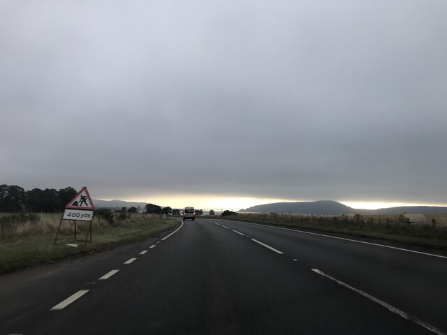
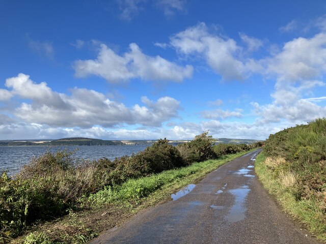
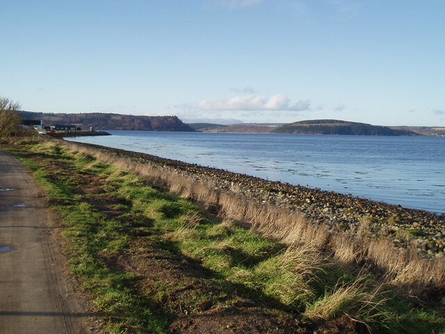
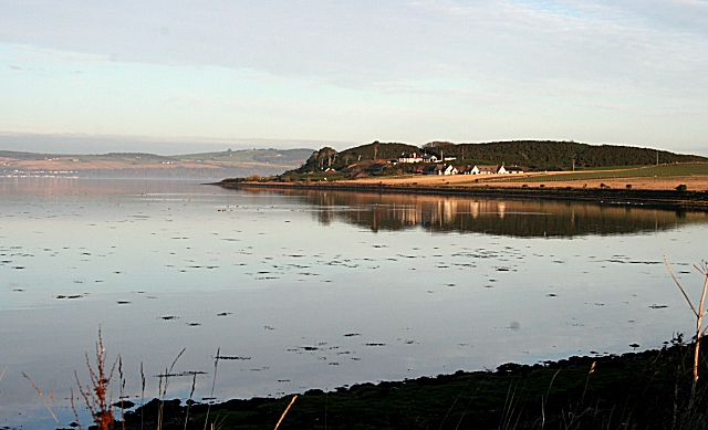
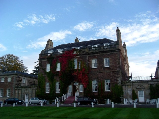
Brecknish Images

Images are sourced within 2km of 57.509354/-4.1489932 or Grid Reference NH7148. Thanks to Geograph Open Source API. All images are credited.

Signage on A96 eastbound
Odd sky towards Kessock Bridge
Moray Firth towards the Kessock Bridge
Towards Alturlie Point
Junction with A96
Junction with A96
Towards Alturlie Point
Moray Firth at Alturlie Point Looking across to Munlochy Bay
Moray Firth at Alturlie Point
Looking across to Munlochy Bay
Petty Bank Navigation Buoy, Inverness Firth The Petty Bank Lateral Navigation Buoy not only marks the channel into and out of Inverness but also marks the end of a sewer outfall. Note the strong tide running just after High Water.
Petty Bank Navigation Buoy, Inverness Firth
The Petty Bank Lateral Navigation Buoy not only marks the channel into and out of Inverness but also marks the end of a sewer outfall. Note the strong tide running just after High Water.
A Non-white Christmas The wind-whipped sea is brown, the sky grey and the bright rainbow over the Black Isle tells of rain; the temperature was 13ºC.
A Non-white Christmas
The wind-whipped sea is brown, the sky grey and the bright rainbow over the Black Isle tells of rain; the temperature was 13ºC.
The Other End of the Rainbow The rainbow in <a href="https://www.geograph.org.uk/photo/2741221">NH7147 : A Non-white Christmas</a> was one end of a complete arch, and this is the other end. There's even a faint hint of a double rainbow.
The Other End of the Rainbow
The rainbow in NH7147 : A Non-white Christmas was one end of a complete arch, and this is the other end. There's even a faint hint of a double rainbow.
Over fields to the Moray Firth near Allanfearn
Milton of Culloden Settlement on the old coastal road east of Inverness.
Milton of Culloden
Settlement on the old coastal road east of Inverness.
Field north of Milton of Culloden Arable land sandwiched between the coast and the parallel road and railway.
Field north of Milton of Culloden
Arable land sandwiched between the coast and the parallel road and railway.
Moray Firth coast at Allanfearn
The beach at Alturlie Looking along the shore of the Moray Firth towards Alturlie Point.
The beach at Alturlie
Looking along the shore of the Moray Firth towards Alturlie Point.
Show me another place!

Brecknish is located at Grid Ref: NH7148 (Lat: 57.509354, Lng: -4.1489932)

Unitary Authority: Highland

Police Authority: Highlands and Islands

What 3 Words

///expect.fallback.tutorial. Near Culloden, Highland

Nearby Locations

Brecknish

Related Wikis

Allanfearn railway station

Allanfearn was a railway station located near Culloden, outside Inverness, Highland, Scotland. It was initially named Culloden when opened, but was renamed...

Allanfearn

Allanfearn (, Scottish Gaelic: An t-Àilean Feàrna) is a small settlement, it lies 4 miles (6.4 km) east of Inverness, Inverness-shire, Scotland, within...

Culloden Academy

Culloden Academy (Scottish Gaelic: Acadamaidh Cùil Lodair) is a non-denominational secondary school in Culloden, Highland, Scotland. The present enrollment...

Culloden, Highland

Culloden ( ; from Scottish Gaelic Cùl Lodain, "back of the small pond"; modern Gaelic Cùil Lodair) is the name of a village three miles (five kilometres...

Nearby Amenities

Located within 500m of 57.509354,-4.1489932
Power: pole
Lat/Long: 57.5096722/-4.146997
Power: pole
Lat/Long: 57.5090117/-4.1464668
Power: pole
Lat/Long: 57.5083513/-4.1459406
Power: pole
Lat/Long: 57.508054/-4.1452263
Power: pole
Lat/Long: 57.5076541/-4.1443075
Power: pole
Lat/Long: 57.5072529/-4.143367
Power: pole
Lat/Long: 57.5068457/-4.1424359
The data included in this document is from www.openstreetmap.org. The data is made available under ODbL.

Have you been to Brecknish?

Leave your review of Brecknish below (or comments, questions and feedback).