Boroughbridge

Civil Parish in Yorkshire Harrogate

England

Boroughbridge

Old Court House and stocks <span class="nowrap"><a title="https://historicengland.org.uk/listing/the-list/list-entry/1295964" rel="nofollow ugc noopener" href="https://historicengland.org.uk/listing/the-list/list-entry/1295964">Link</a><img style="margin-left:2px;" alt="External link" title="External link - shift click to open in new window" src="https://s1.geograph.org.uk/img/external.png" width="10" height="10"/></span>
Old Court House and stocks Credit: Sandy Gerrard

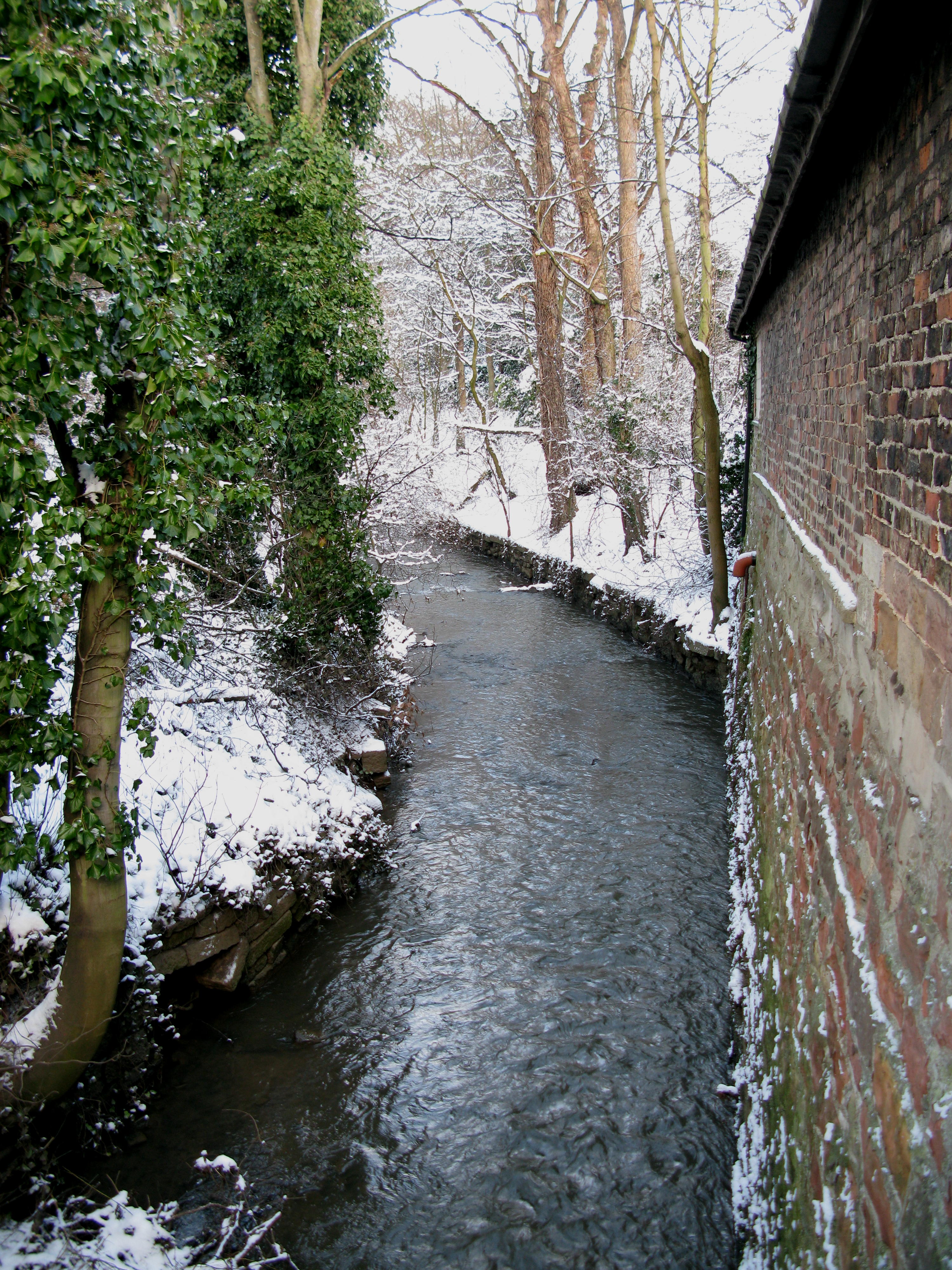
Boroughbridge is a small town and civil parish located in the Harrogate district of North Yorkshire, England. Situated on the banks of the River Ure, it is strategically positioned at the crossing point of two major roads, the A1 and the A168. The town is approximately 16 miles north-west of York and 18 miles north-east of Harrogate.

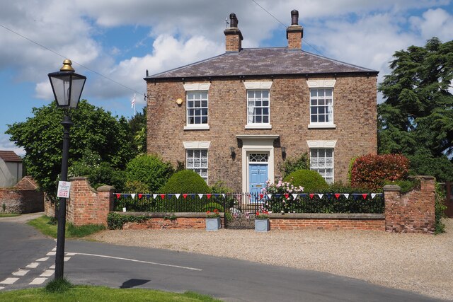
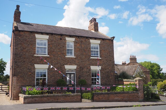
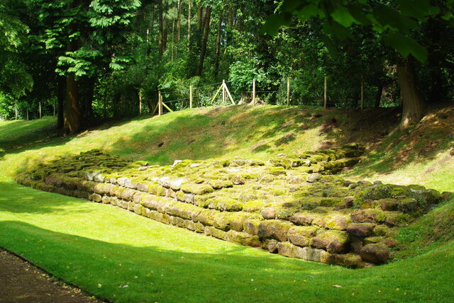
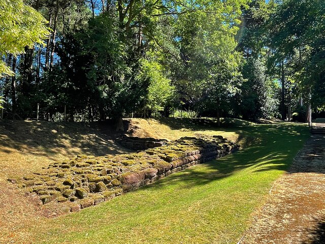
With a population of around 3,500 residents, Boroughbridge maintains a close-knit community atmosphere. The town is steeped in history, dating back to Roman times when it was an important settlement known as Aldborough. The remains of a Roman fort and a museum can still be visited today. In medieval times, Boroughbridge prospered as a market town and a major crossing place over the river.

Today, Boroughbridge offers a range of amenities and services to its residents and visitors. The town center features a variety of independent shops, cafes, and restaurants. There is also a supermarket, a library, a primary school, and a health center. The town hosts a weekly market, providing fresh produce and local goods.

The surrounding countryside is picturesque and offers opportunities for walking, cycling, and exploring the nearby Nidderdale Area of Outstanding Natural Beauty. The town also benefits from being close to the Yorkshire Dales National Park, with its stunning landscapes and outdoor recreational activities.

Overall, Boroughbridge is a charming town with a rich history, providing a peaceful and picturesque setting for both residents and visitors.

If you have any feedback on the listing, please let us know in the comments section below.

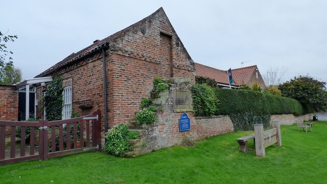
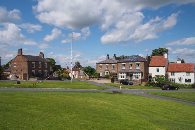
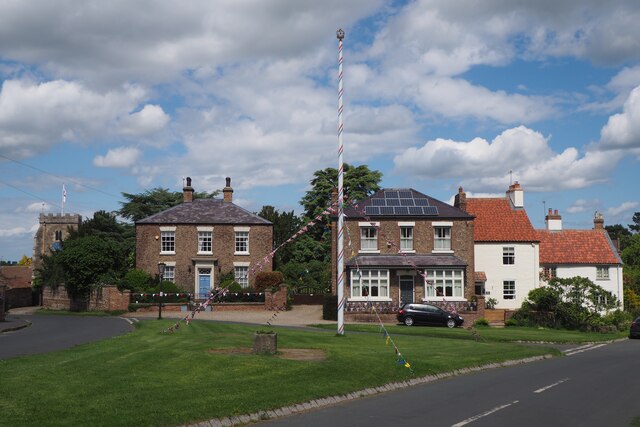
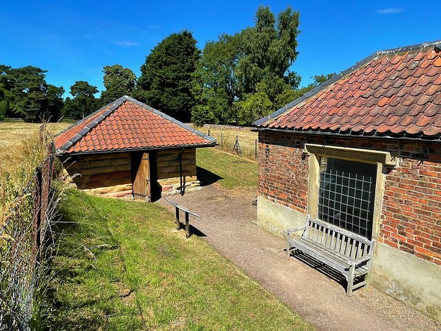
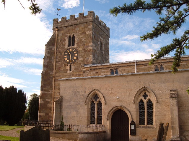
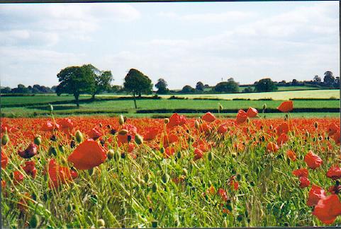
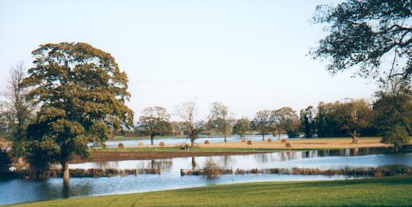
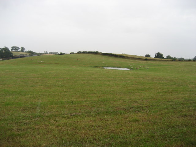
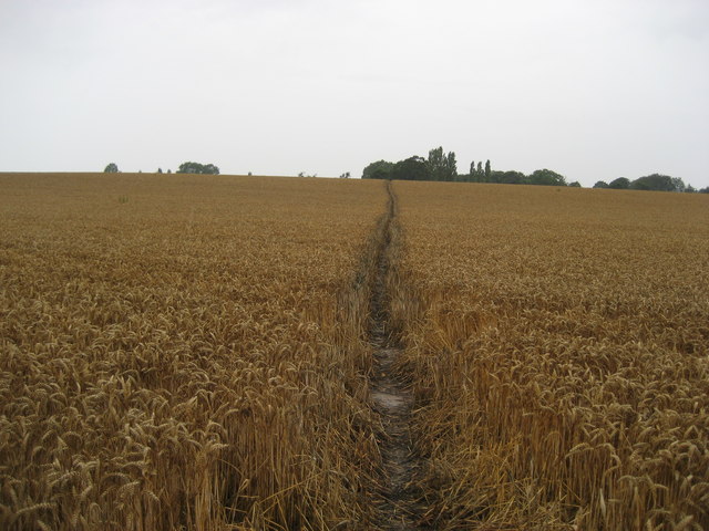
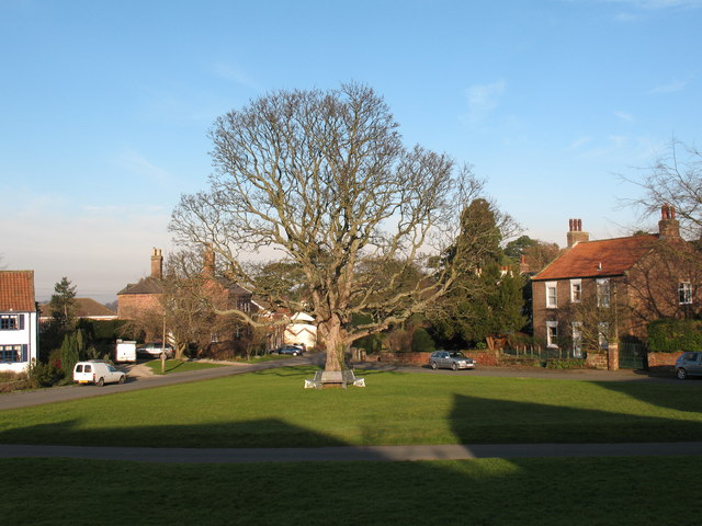
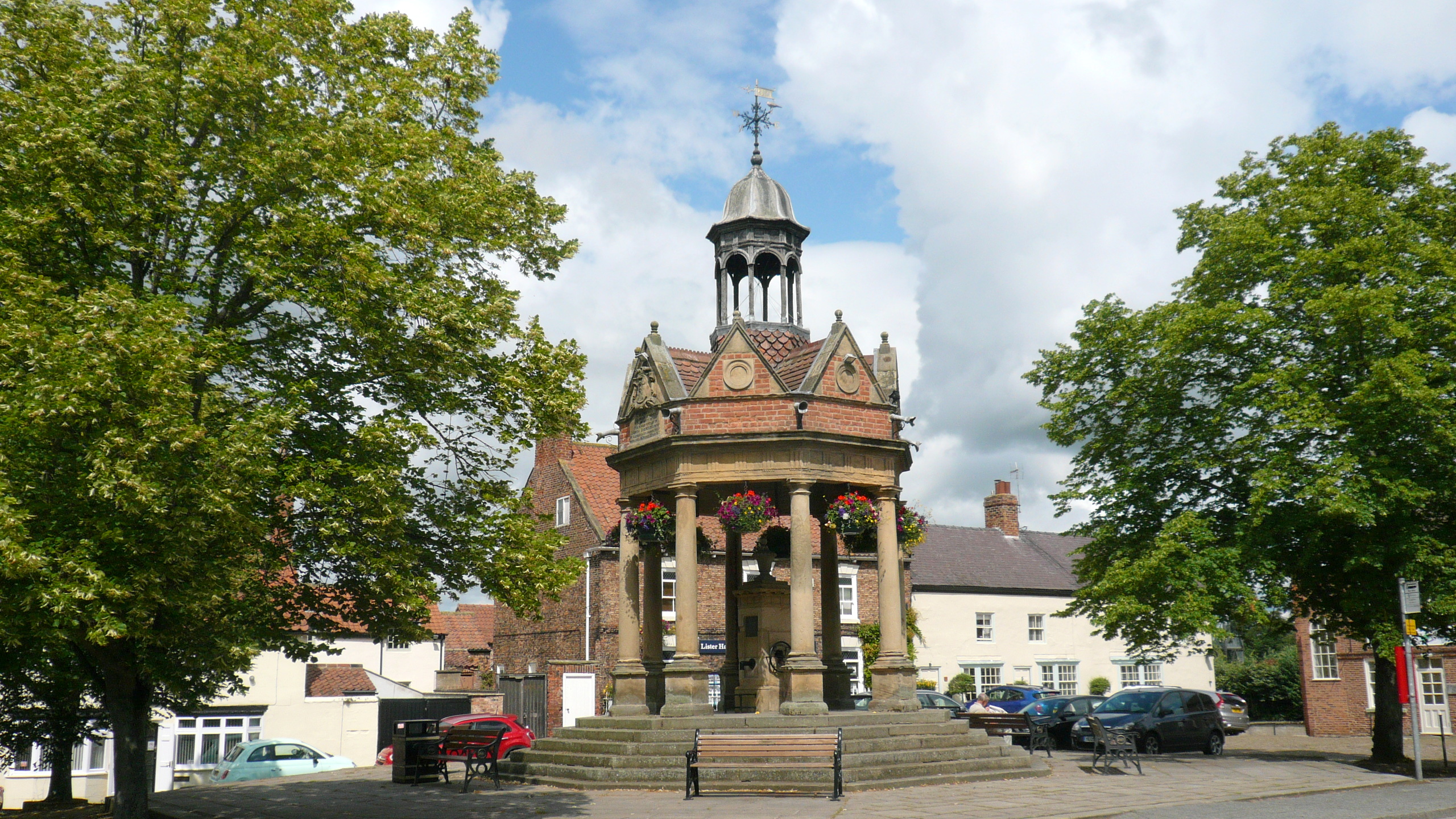
Boroughbridge Images

Images are sourced within 2km of 54.080102/-1.387514 or Grid Reference SE4065. Thanks to Geograph Open Source API. All images are credited.
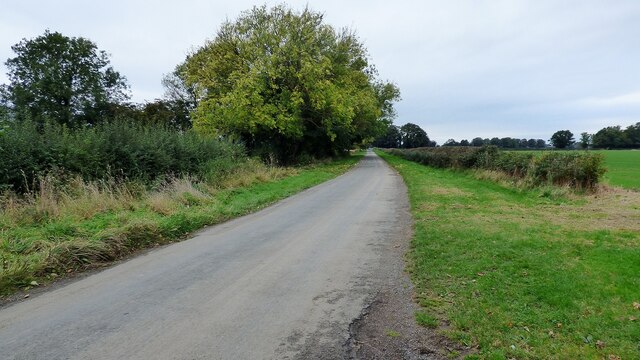
Old Court House and stocks <span class="nowrap"><a title="https://historicengland.org.uk/listing/the-list/list-entry/1295964" rel="nofollow ugc noopener" href="https://historicengland.org.uk/listing/the-list/list-entry/1295964">Link</a><img style="margin-left:2px;" alt="External link" title="External link - shift click to open in new window" src="https://s1.geograph.org.uk/img/external.png" width="10" height="10"/></span>
Old Court House and stocks
Roman road leading to Aldborough Holbecks Lane following the line of the earlier Roman road.
Roman road leading to Aldborough
Holbecks Lane following the line of the earlier Roman road.
The Maypole at Aldborough The Maypole was decorated with flags in honour of the Queen's Platinum Jubilee.
The Maypole at Aldborough
The Maypole was decorated with flags in honour of the Queen's Platinum Jubilee.
The Maypole at Aldborough The Maypole is decorated with flags in honour of the Queen's Platinum Jubilee.
The Maypole at Aldborough
The Maypole is decorated with flags in honour of the Queen's Platinum Jubilee.
Attractive 19th Century Stone House in Aldborough This very attractive house named Hazeldene dates from the early 19th century and is a Grade II listed building. It faces towards the green where the Maypole stands. The house is decorated with flags in honour of the Queen's Platinum Jubilee.
Attractive 19th Century Stone House in Aldborough
This very attractive house named Hazeldene dates from the early 19th century and is a Grade II listed building. It faces towards the green where the Maypole stands. The house is decorated with flags in honour of the Queen's Platinum Jubilee.
An attractive Brick built House in Aldborough A most attractive house named Fernleigh situated near the Maypole in the green just nearby. The house is decorated with flags in honour of the Queen's Platinum Jubilee.
An attractive Brick built House in Aldborough
A most attractive house named Fernleigh situated near the Maypole in the green just nearby. The house is decorated with flags in honour of the Queen's Platinum Jubilee.
Roman Masonry Along the line of the town walls
Roman Masonry
Along the line of the town walls
Remains of the town wall  At Aldborough Roman Town. Aldborough was once the prosperous Roman town of Isurium Brigantum, which began as a trading settlement around AD 70, and became the civilian ‘capital’ of an extensive region of north Britain from about AD 120 to about AD 400. Now in the care of English Heritage.
Remains of the town wall
At Aldborough Roman Town. Aldborough was once the prosperous Roman town of Isurium Brigantum, which began as a trading settlement around AD 70, and became the civilian ‘capital’ of an extensive region of north Britain from about AD 120 to about AD 400. Now in the care of English Heritage.
Two small buildings at Aldborough At Aldborough Roman Town. The buildings protect the mosaics found here, some of the finest in the UK.
Two small buildings at Aldborough
At Aldborough Roman Town. The buildings protect the mosaics found here, some of the finest in the UK.
Aldborough Church Village near Boroughbridge. The clock dates back to 1783AD, and the tower has beneath it a pit to accommodate its 30'+ pendulum - said to be the longest in Britain.
Aldborough Church
Village near Boroughbridge. The clock dates back to 1783AD, and the tower has beneath it a pit to accommodate its 30'+ pendulum - said to be the longest in Britain.
Cornfield poppies near Boroughbridge Rich agricultural land in the Vale of York close to Aldborough and Boroughbridge.
Cornfield poppies near Boroughbridge
Rich agricultural land in the Vale of York close to Aldborough and Boroughbridge.
Flooded fields Aldborough In late 2000 the Ure rose to flood much of the land between the river and Aldborough village.
Flooded fields Aldborough
In late 2000 the Ure rose to flood much of the land between the river and Aldborough village.
Pasture near Ornhams Hall Passing through this field while walking from Grafton to the A168, and onto Boroughbridge
Pasture near Ornhams Hall
Passing through this field while walking from Grafton to the A168, and onto Boroughbridge
Field of Grain near Ornhams Hall My journey was intended to follow this footpath from Grafton to Minskip. Beyond this field lies the A168, which used to be the A1. Just beyond that is the new A1(M) which has cut the right of way in two, and has not been restored. This entailed a long detour up the A168 to Boroughbridge to cross the motorway and then follow the A6055 to Minskip - be warned!
Field of Grain near Ornhams Hall
My journey was intended to follow this footpath from Grafton to Minskip. Beyond this field lies the A168, which used to be the A1. Just beyond that is the new A1(M) which has cut the right of way in two, and has not been restored. This entailed a long detour up the A168 to Boroughbridge to cross the motorway and then follow the A6055 to Minskip - be warned!
Little Ings Lane North of Aldborough
Little Ings Lane
North of Aldborough
'Roman Road' near Aldborough This quiet country lane follows the line of the Roman Road linking Eboracum [York] with Isurium Brigantum [Aldborough].
'Roman Road' near Aldborough
This quiet country lane follows the line of the Roman Road linking Eboracum [York] with Isurium Brigantum [Aldborough].
Village Green Aldborough Aldborough is a pleasant village with a large green surrounded by a mixture of historic properties.
Village Green Aldborough
Aldborough is a pleasant village with a large green surrounded by a mixture of historic properties.
Maypole, Aldborough The maypole stands close to the centre of the site of Isurium Roman Town.
Maypole, Aldborough
The maypole stands close to the centre of the site of Isurium Roman Town.
Show me another place!

Boroughbridge is located at Grid Ref: SE4065 (Lat: 54.080102, Lng: -1.387514)

Division: West Riding

Administrative County: North Yorkshire

District: Harrogate

Police Authority: North Yorkshire

What 3 Words

///restores.boast.soonest. Near Boroughbridge, North Yorkshire

Related Wikis

Aldborough Castle

Aldborough Castle was located near the village of Aldborough, North Yorkshire, England. The castle was located to the south-west of the village, built...

Isurium Brigantum

Isurium or Isurium of the Brigantes (Latin: Isurium Brigantum) was a Roman fort and town in the province of Britannia at the site of present-day Aldborough...

Minskip

Minskip is a village in the civil parish of Boroughbridge, in North Yorkshire, England. It is on the A6055 road and 1 mile south-west of Boroughbridge...

Aldborough, North Yorkshire

Aldborough is a village 7 miles (11 km) in the civil parish of Boroughbridge, to the north-east of Knaresborough, in North Yorkshire, England.Historically...

Devil's Arrows

The Devil's Arrows are four standing stones or menhirs in an alignment approximately 660 feet (200 m) to the east of the A1(M), adjacent to Roecliffe Lane...

Boroughbridge

Boroughbridge ( BURR-ə-brij) is a town and civil parish in North Yorkshire, England. Historically part of the West Riding of Yorkshire, it is 16 miles...

Battle of Boroughbridge

The Battle of Boroughbridge was fought on 16 March 1322 in England between a group of rebellious barons and the forces of King Edward II, near Boroughbridge...

River Tutt

The River Tutt is a 8.7-mile (14 km) long tributary of the River Ure in North Yorkshire, England. The river rises near to the villages of Nidd and Scotton...

Related Videos

Can You Take Your Tesla On a Eurocamps Holiday?

Here is our first-hand experience of driving a Tesla over 900 miles to the Dordogne. Whats the best and worst things about taking ...

Arriving At Boroughbridge Camping And Caravanning Club Site | Yorkshire Tour 2019

We travel to Boroughbridge Camping And Caravanning Club Site, in Yorkshire. Just off the A1(M) and on the banks of the River ...

A WALK AROUND BOROUGHBRIDGE CAMPING AND CARAVANNING CLUB SITE, NORTH YORKSHIRE

Welcome to my Channel - In today's video I take you a walk around Boroughbridge camping and caravan club site in North ...

ARRIVING AT BOROUGHBRIDGE CAMPING AND CARAVANNING CLUB SITE, North Yorkshire

Welcome to my Channel - In today's video we arrive at Boroughbridge camping and caravnning club site. After a very upsetting ...

Nearby Amenities

Located within 500m of 54.080102,-1.387514
Created By: Merkaartor 0.13
Lat/Long: 54.0781268/-1.3821599
Created By: Merkaartor 0.13
Lat/Long: 54.0787078/-1.3833281
Created By: Merkaartor 0.13
Lat/Long: 54.0788957/-1.3834887
Created By: Merkaartor 0.13
Lat/Long: 54.0790752/-1.3834595
Created By: Merkaartor 0.13
Lat/Long: 54.0800492/-1.3827148
Created By: Merkaartor 0.13
Lat/Long: 54.0809207/-1.3822183
Created By: Merkaartor 0.13
Lat/Long: 54.0813821/-1.3820285
Created By: Merkaartor 0.13
Lat/Long: 54.0817324/-1.3821161
Created By: Merkaartor 0.13
Lat/Long: 54.0820229/-1.3824519
Created By: Merkaartor 0.13
Lat/Long: 54.0823903/-1.3829777
Created By: Merkaartor 0.13
Lat/Long: 54.0826552/-1.3831821
Created By: Merkaartor 0.13
Lat/Long: 54.0831593/-1.3833573
Created By: Merkaartor 0.13
Lat/Long: 54.0838001/-1.3833719
Parking
Parking: layby
Lat/Long: 54.0781275/-1.3936118
Parking
Access: yes
Fee: no
Parking: layby
Lat/Long: 54.0801041/-1.3946868
The data included in this document is from www.openstreetmap.org. The data is made available under ODbL.

Have you been to Boroughbridge?

Leave your review of Boroughbridge below (or comments, questions and feedback).