York Way Field
Downs, Moorland in Yorkshire Harrogate
England
York Way Field
York Way Field is a picturesque landscape located in Yorkshire, England. It is situated in the region known as Yorkshire Downs, encompassing vast stretches of moorland. Covering an area of approximately 500 acres, the field is nestled within rolling hills and offers breathtaking views of the surrounding countryside.
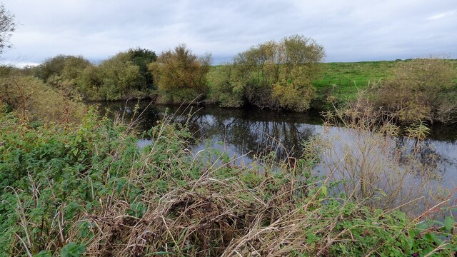
The field is known for its diverse vegetation, ranging from heather and gorse to grasslands and wildflowers. This variety of plant life creates a vibrant and colorful display throughout the year, with bursts of purple, yellow, and green. It is also home to a wide array of wildlife, including birds, butterflies, and small mammals.
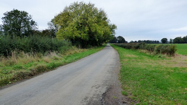
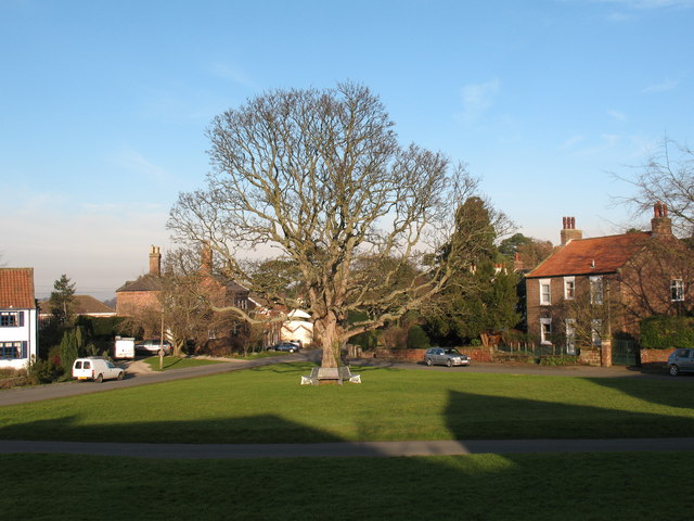
The terrain of York Way Field is characterized by undulating slopes and gentle valleys. It is a popular destination for hikers, nature enthusiasts, and photographers who are drawn to its natural beauty and tranquility. The field is crisscrossed by numerous footpaths, allowing visitors to explore its different areas and discover hidden gems.
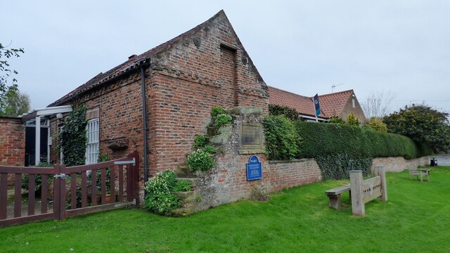
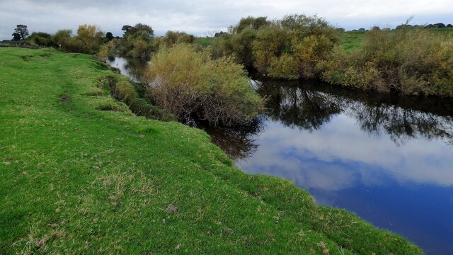
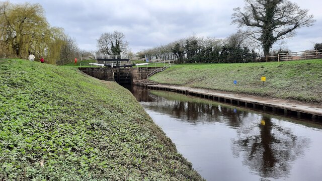
The field's location in Yorkshire Downs provides a unique experience for visitors. It is surrounded by other natural attractions such as ancient woodlands, rivers, and waterfalls, creating a rich tapestry of landscapes to explore. The moorland itself is steeped in history, with archaeological sites and remnants of ancient settlements scattered throughout.
Overall, York Way Field offers a peaceful and scenic retreat for those seeking to connect with nature and immerse themselves in the beauty of Yorkshire's countryside.
If you have any feedback on the listing, please let us know in the comments section below.
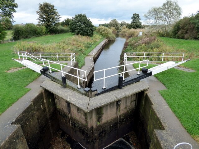
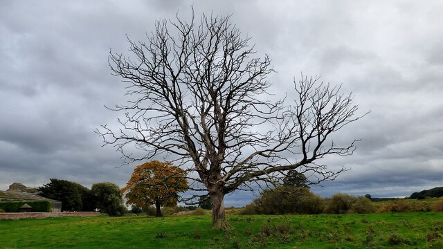
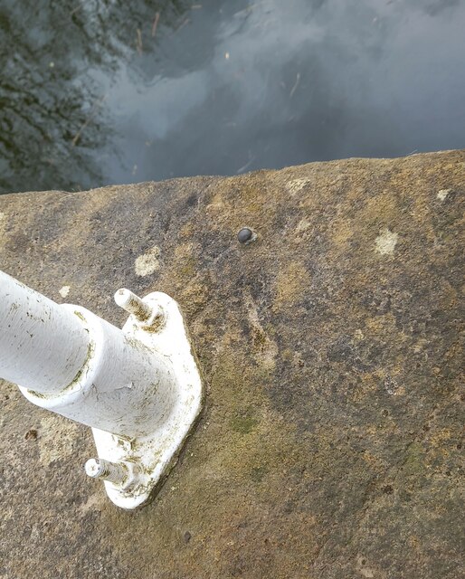
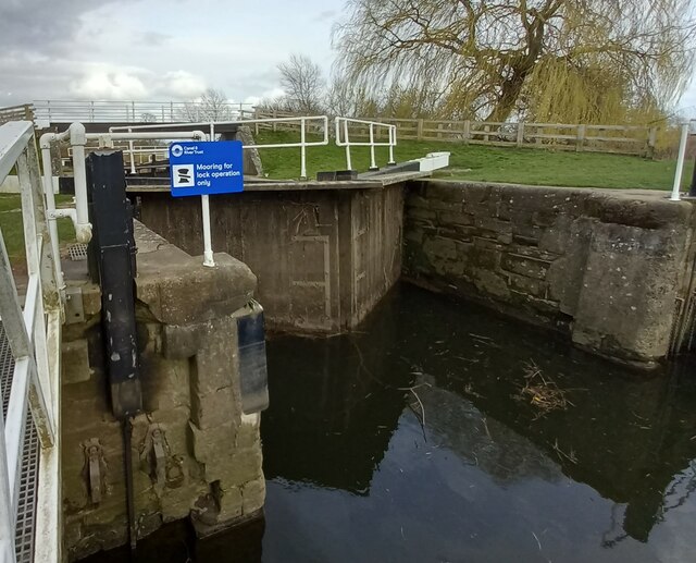
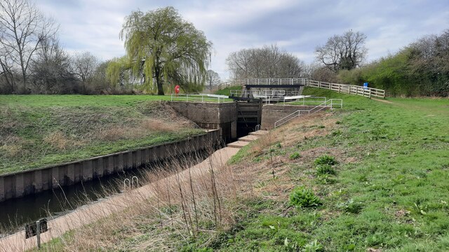
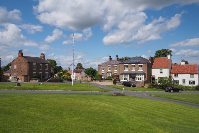
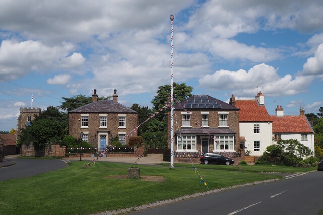
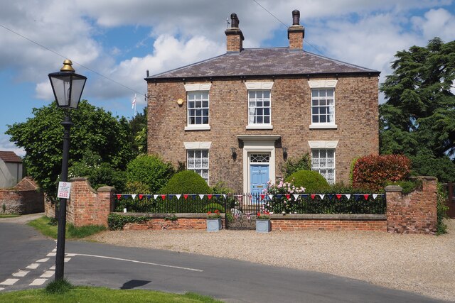
York Way Field Images
Images are sourced within 2km of 54.08408/-1.3804191 or Grid Reference SE4065. Thanks to Geograph Open Source API. All images are credited.

York Way Field is located at Grid Ref: SE4065 (Lat: 54.08408, Lng: -1.3804191)
Division: West Riding
Administrative County: North Yorkshire
District: Harrogate
Police Authority: North Yorkshire
What 3 Words
///item.inflame.covertly. Near Boroughbridge, North Yorkshire
Nearby Locations
Related Wikis

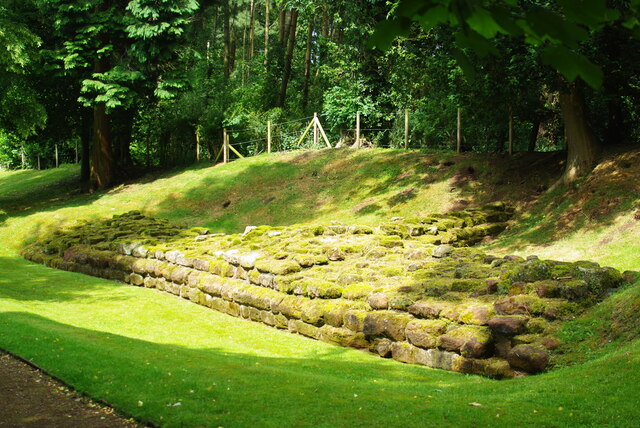
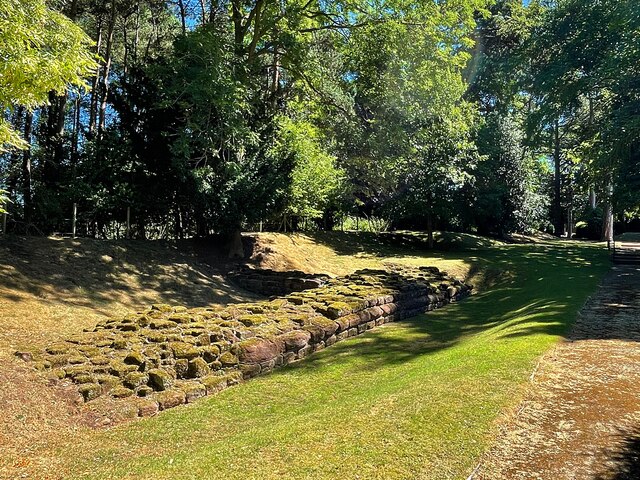
Aldborough Castle
Aldborough Castle was located near the village of Aldborough, North Yorkshire, England. The castle was located to the south-west of the village, built...

Isurium Brigantum
Isurium or Isurium of the Brigantes (Latin: Isurium Brigantum) was a Roman fort and town in the province of Britannia at the site of present-day Aldborough...
Aldborough, North Yorkshire
Aldborough is a village 7 miles (11 km) in the civil parish of Boroughbridge, to the north-east of Knaresborough, in North Yorkshire, England.Historically...
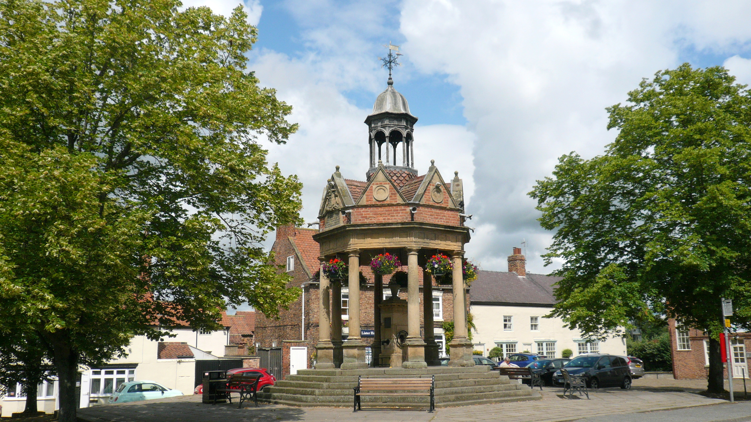
Boroughbridge
Boroughbridge ( BURR-ə-brij) is a town and civil parish in North Yorkshire, England. Historically part of the West Riding of Yorkshire, it is 16 miles...
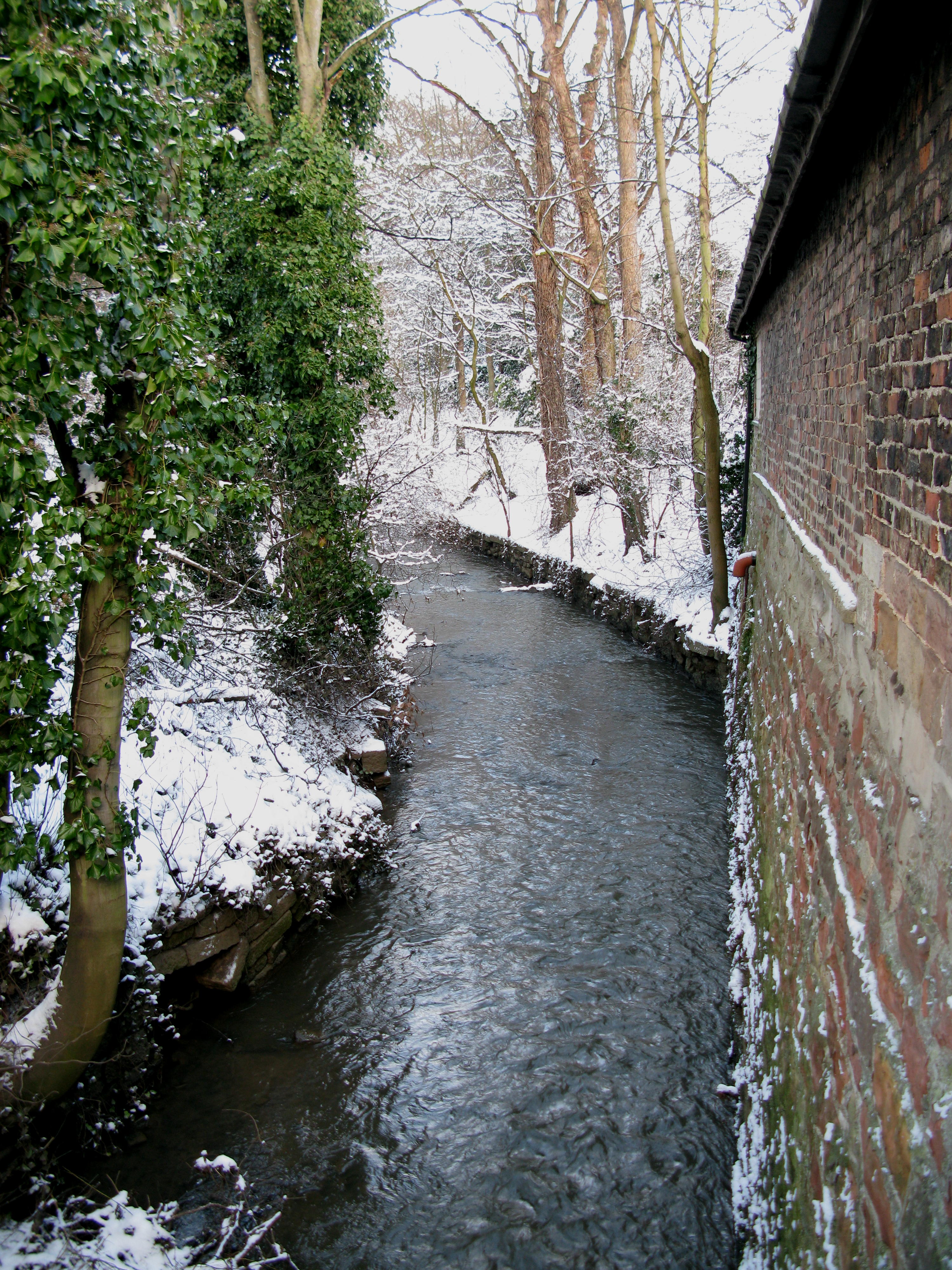
River Tutt
The River Tutt is a 8.7-mile (14 km) long tributary of the River Ure in North Yorkshire, England. The river rises near to the villages of Nidd and Scotton...

Battle of Boroughbridge
The Battle of Boroughbridge was fought on 16 March 1322 in England between a group of rebellious barons and the forces of King Edward II, near Boroughbridge...

Devil's Arrows
The Devil's Arrows are four standing stones or menhirs in an alignment approximately 660 feet (200 m) to the east of the A1(M), adjacent to Roecliffe Lane...

Minskip
Minskip is a village in the civil parish of Boroughbridge, in North Yorkshire, England. It is on the A6055 road and 1 mile south-west of Boroughbridge...
Nearby Amenities
Located within 500m of 54.08408,-1.3804191Have you been to York Way Field?
Leave your review of York Way Field below (or comments, questions and feedback).