Ribston Park
Downs, Moorland in Yorkshire Harrogate
England
Ribston Park
Ribston Park is a picturesque area located in the county of Yorkshire, England. Situated between the Yorkshire Downs and Moorland, it offers visitors a diverse and stunning natural landscape. The park covers an expansive area of rolling hills, tranquil meadows, and dense woodlands, providing a haven for wildlife and a peaceful retreat for visitors.
The park is renowned for its breathtaking views, with panoramic vistas of the surrounding countryside. It is a popular spot for outdoor enthusiasts, offering a range of activities such as hiking, cycling, and horseback riding. There are numerous well-maintained trails that wind through the park, allowing visitors to explore its beauty at their own pace.
In addition to its natural beauty, Ribston Park is also home to a variety of historical and cultural attractions. The park features an ancient Roman fort, which is a testament to the area's rich history. Visitors can explore the ruins and learn about the park's fascinating past. There are also several charming villages nearby, where visitors can experience the local culture and sample traditional Yorkshire cuisine.
For those seeking a peaceful escape from the hustle and bustle of city life, Ribston Park is an ideal destination. Its tranquil surroundings, breathtaking views, and diverse range of activities make it a must-visit location for nature lovers and history enthusiasts alike. Whether you are looking to immerse yourself in nature or delve into the area's fascinating history, Ribston Park offers something for everyone.
If you have any feedback on the listing, please let us know in the comments section below.
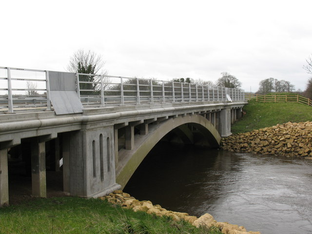
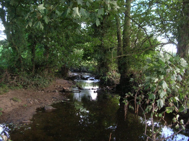
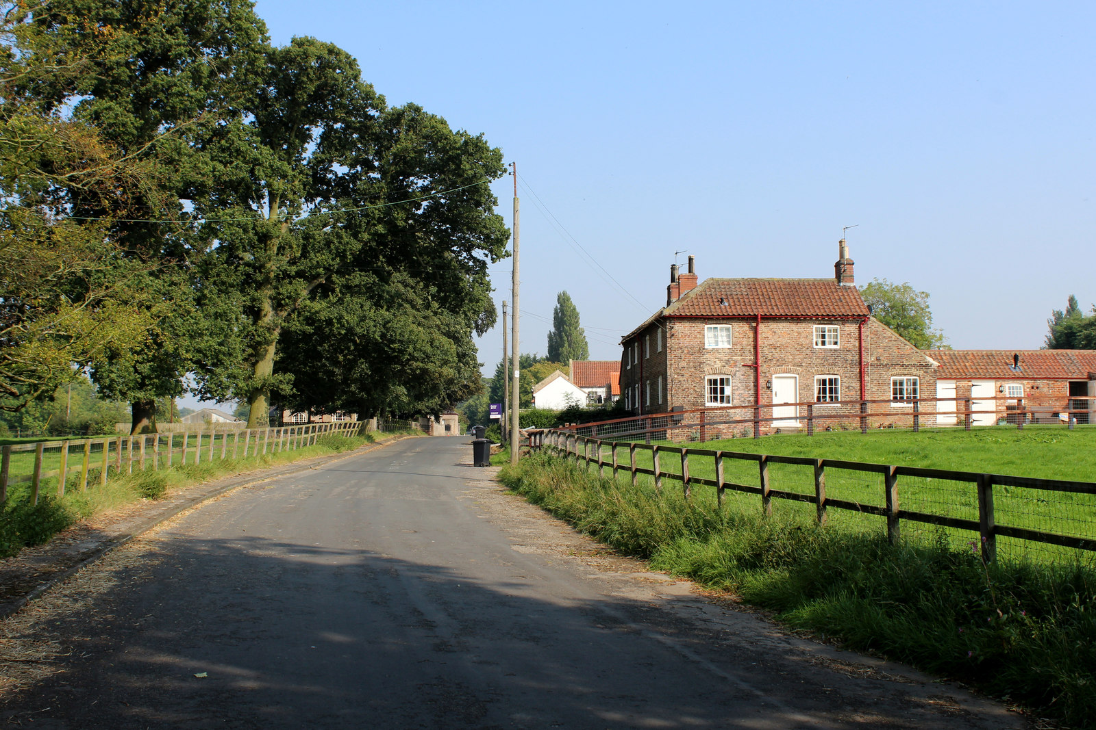
Ribston Park Images
Images are sourced within 2km of 53.971584/-1.3827897 or Grid Reference SE4053. Thanks to Geograph Open Source API. All images are credited.
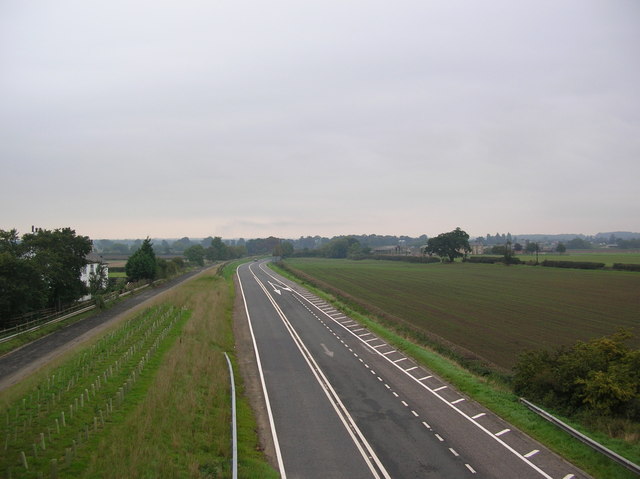
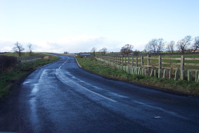
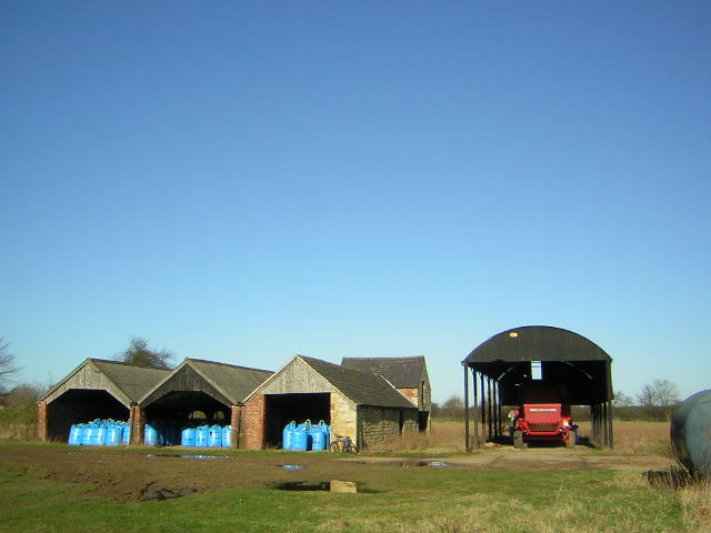
![Ox Close Farm Situated next to the old A1 [now A168], the road runs just behind the farm. This is taken from the Cowthorpe road which passes over the A168.](https://s0.geograph.org.uk/photos/24/90/249072_22b15957.jpg)
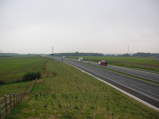
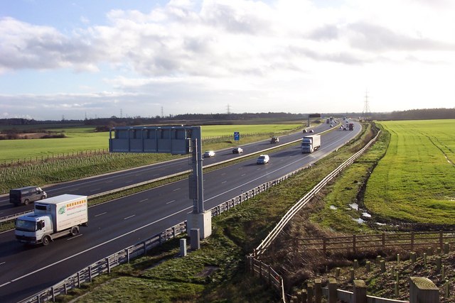
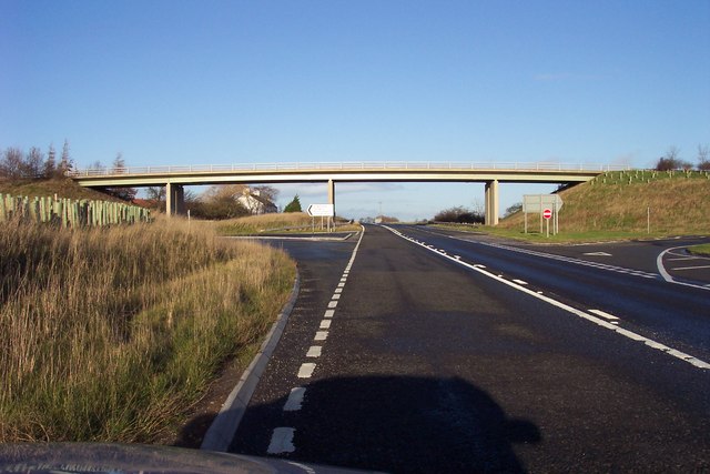


![The A1[M] Looking north along one of the newest sections of the A1 motorway near Walshford. The bridge over the River Nidd can just be seen.](https://s3.geograph.org.uk/photos/72/43/724379_146c3379.jpg)
Ribston Park is located at Grid Ref: SE4053 (Lat: 53.971584, Lng: -1.3827897)
Division: West Riding
Administrative County: North Yorkshire
District: Harrogate
Police Authority: North Yorkshire
What 3 Words
///acrobats.unrated.fingertip. Near Spofforth, North Yorkshire
Nearby Locations
Related Wikis
Crimple Beck
Crimple Beck or the River Crimple is a beck which flows through North Yorkshire, England. It is a tributary of the River Nidd which it joins between Little...
Walshford
Walshford is a hamlet in the civil parish of Great Ribston with Walshford, in the Harrogate district, in the county of North Yorkshire, England. The hamlet...
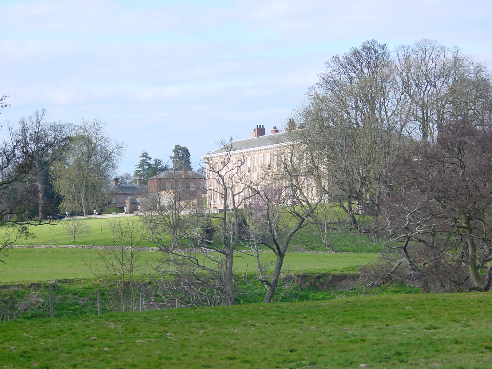
Ribston Hall
Ribston Hall is a privately owned 17th-century country mansion situated on the banks of the River Nidd, at Great Ribston, near Knaresborough, North Yorkshire...

Ribston Preceptory
Ribston Preceptory was a priory just east of the village of Little Ribston, in North Yorkshire, England on the east bank of the River Nidd. The preceptory...

Little Ribston
Little Ribston is a village and civil parish in the Harrogate district of North Yorkshire, England. Little Ribston is located on the River Nidd, 4 miles...

North Deighton
North Deighton is a village and civil parish in the Harrogate district of North Yorkshire, England. Until 1866, when it became its own parish, the village...

St Michael's Church, Cowthorpe
St Michael's Church is a redundant church in the village of Cowthorpe, North Yorkshire, England. It is recorded in the National Heritage List for England...
Cowthorpe
Cowthorpe is a village in the civil parish of Tockwith, in North Yorkshire, England. It is situated 3 miles (4.8 km) north of Wetherby, 10 miles (16 km...
Nearby Amenities
Located within 500m of 53.971584,-1.3827897Have you been to Ribston Park?
Leave your review of Ribston Park below (or comments, questions and feedback).