Borough Hill

Hill, Mountain in Yorkshire Harrogate

England

Borough Hill

Old Court House and stocks <span class="nowrap"><a title="https://historicengland.org.uk/listing/the-list/list-entry/1295964" rel="nofollow ugc noopener" href="https://historicengland.org.uk/listing/the-list/list-entry/1295964">Link</a><img style="margin-left:2px;" alt="External link" title="External link - shift click to open in new window" src="https://s1.geograph.org.uk/img/external.png" width="10" height="10"/></span>
Old Court House and stocks Credit: Sandy Gerrard

Borough Hill, located in Yorkshire, England, is a prominent hill that rises to a height of approximately 218 meters (715 feet) above sea level. Situated in the district of Harrogate, it forms part of the Nidderdale Area of Outstanding Natural Beauty. The hill offers breathtaking panoramic views of the surrounding countryside, including the Nidderdale Valley and the Yorkshire Dales National Park.

Borough Hill is a popular destination for hikers, walkers, and nature enthusiasts due to its scenic beauty and diverse wildlife. The hill is covered with a patchwork of fields and woodlands, creating a picturesque landscape. Visitors can explore the numerous footpaths and trails that crisscross the hill, allowing them to immerse themselves in its natural splendor.

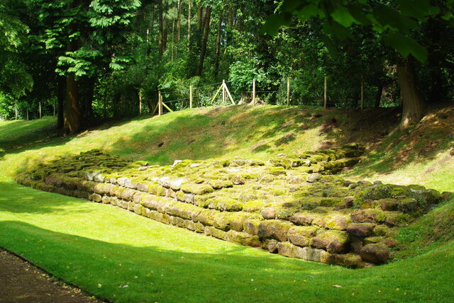
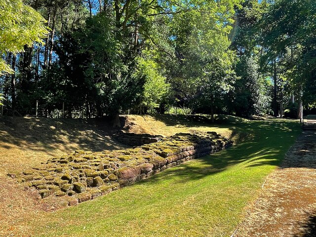
The hill also holds historical significance, with traces of ancient settlements found in the area, including Iron Age earthworks and a Bronze Age burial mound. These archaeological remains add to the allure of Borough Hill, attracting history buffs and archaeology enthusiasts.

In addition to its natural and historical features, Borough Hill is home to a variety of flora and fauna. The woodlands provide habitat for a range of bird species, including owls, woodpeckers, and various songbirds. Wildflowers such as bluebells and primroses dot the landscape, adding bursts of color to the scenery.

Overall, Borough Hill in Yorkshire is a captivating destination that offers a perfect blend of natural beauty, historical significance, and diverse wildlife, making it an ideal spot for outdoor enthusiasts and those seeking a peaceful escape in the heart of Yorkshire.

If you have any feedback on the listing, please let us know in the comments section below.
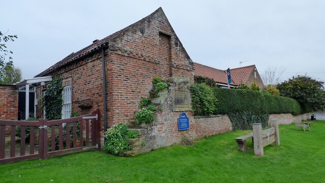
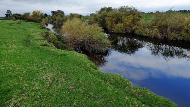
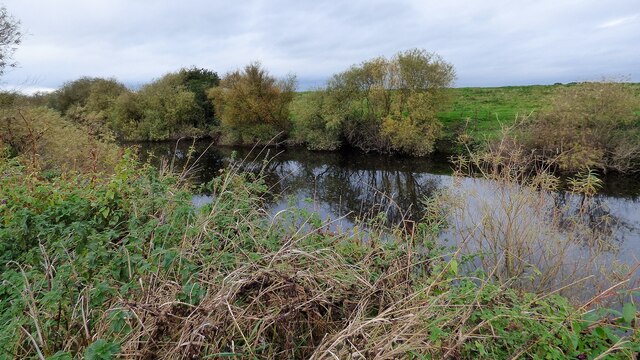
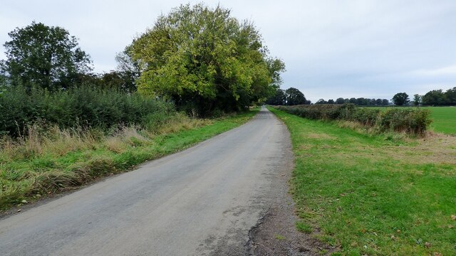
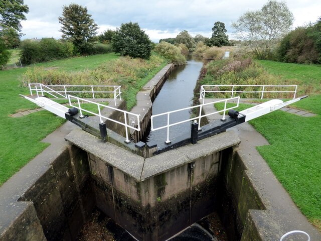
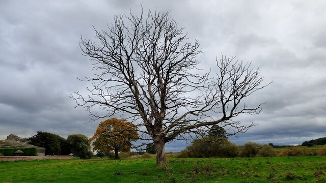
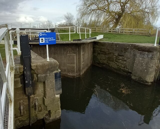
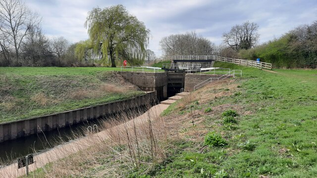
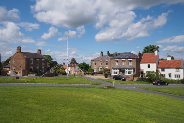
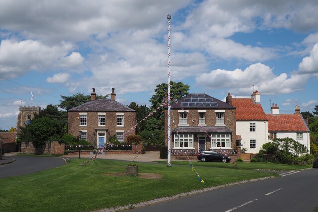
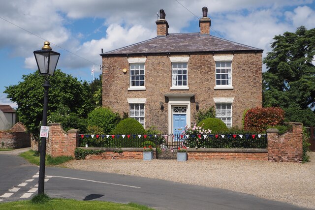
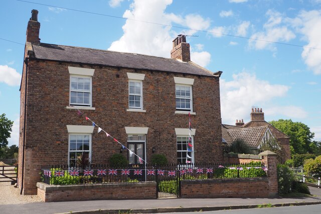
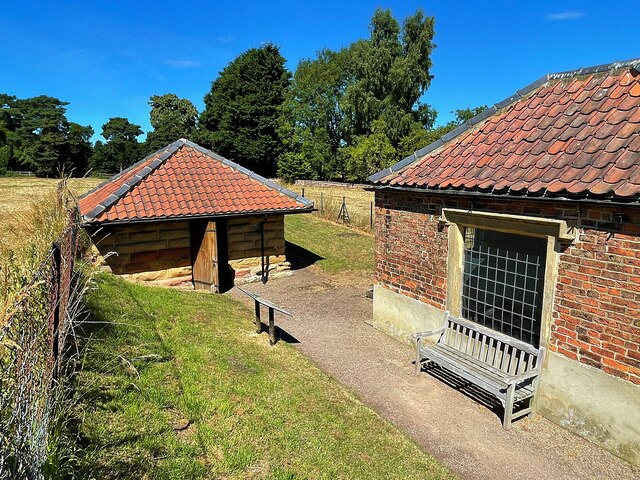
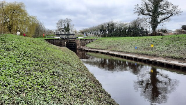
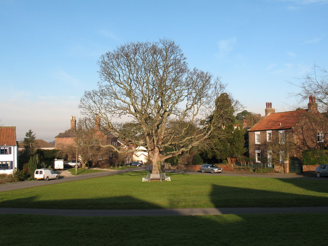
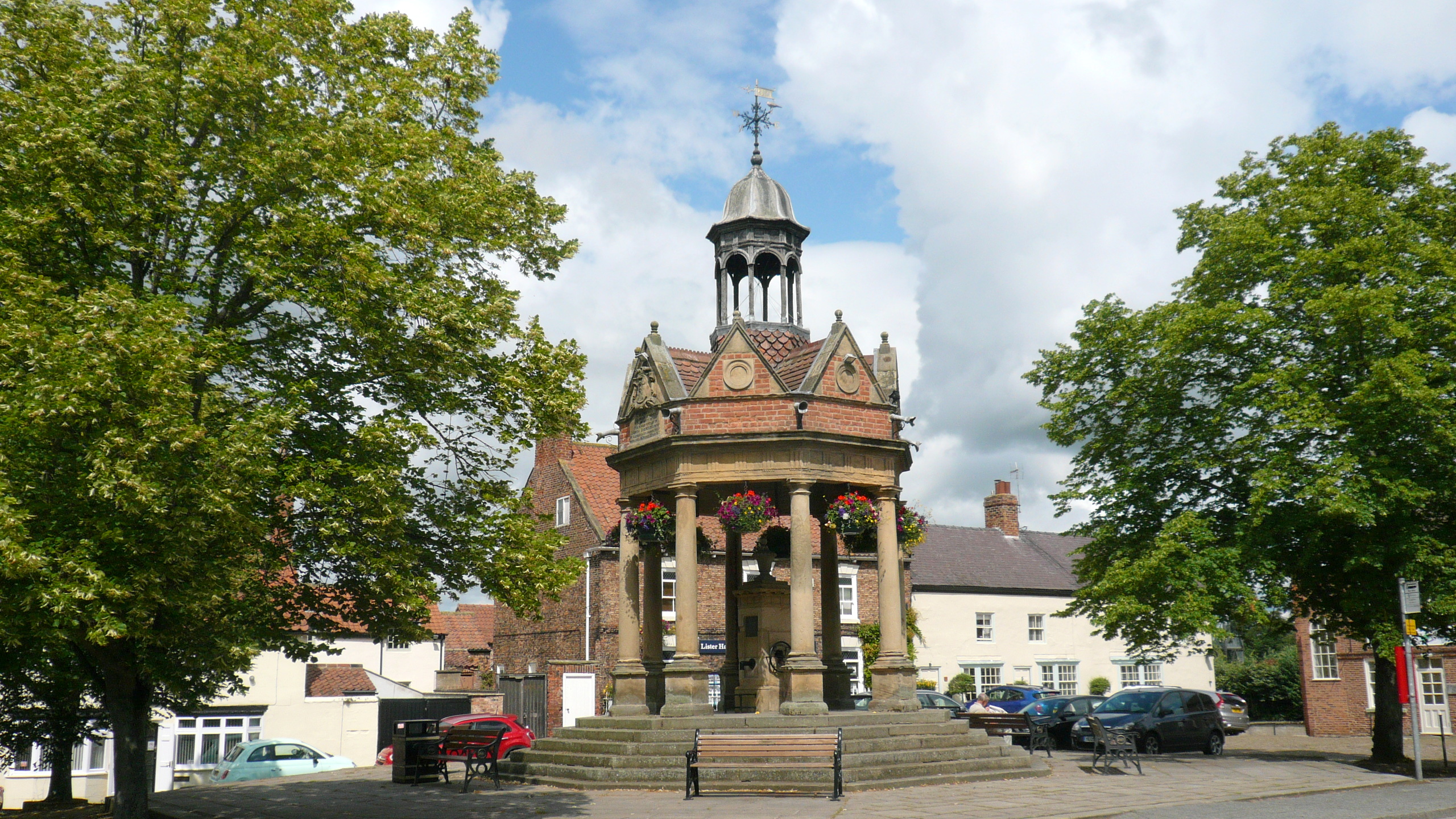
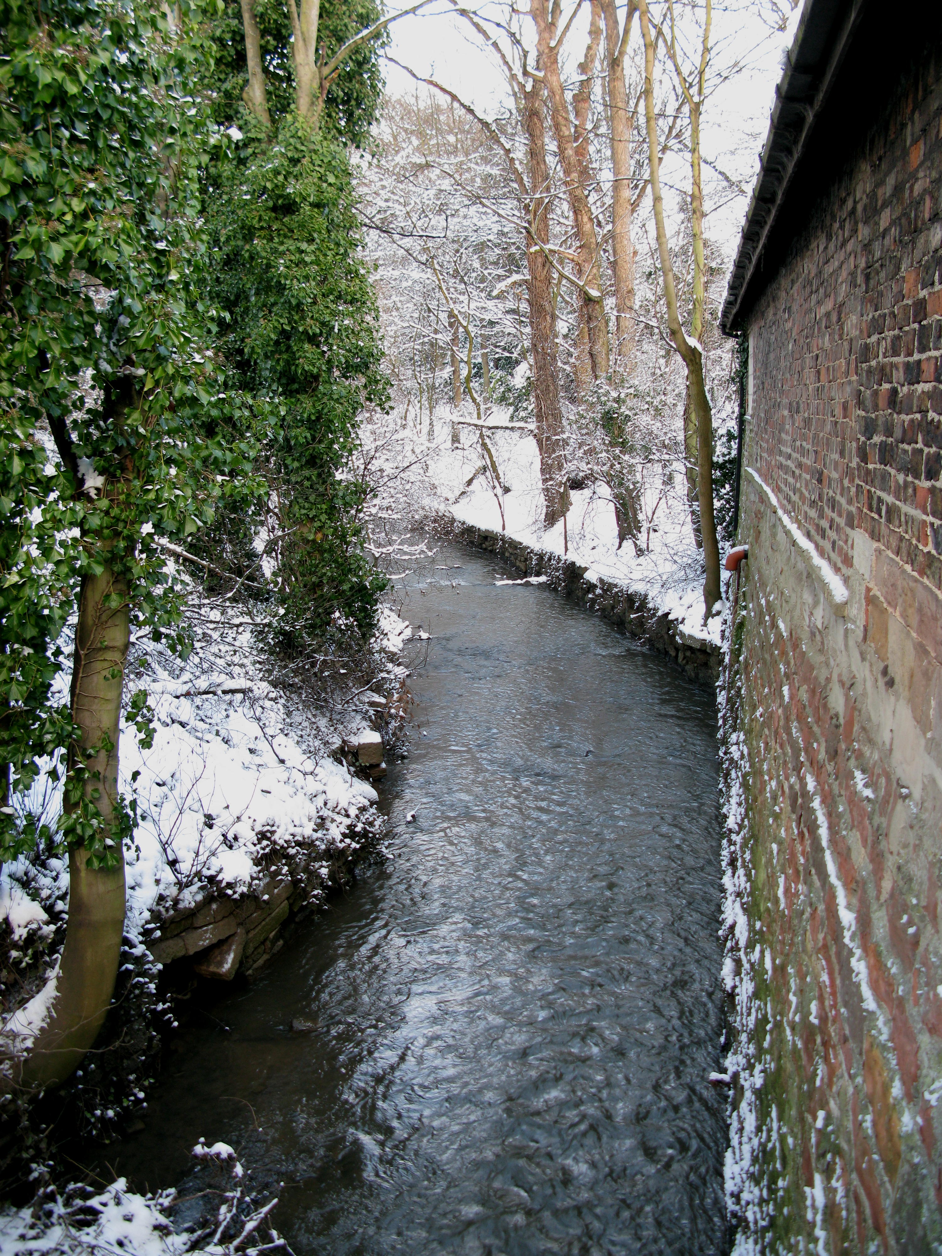
Borough Hill Images

Images are sourced within 2km of 54.088063/-1.3824236 or Grid Reference SE4065. Thanks to Geograph Open Source API. All images are credited.

Old Court House and stocks <span class="nowrap"><a title="https://historicengland.org.uk/listing/the-list/list-entry/1295964" rel="nofollow ugc noopener" href="https://historicengland.org.uk/listing/the-list/list-entry/1295964">Link</a><img style="margin-left:2px;" alt="External link" title="External link - shift click to open in new window" src="https://s1.geograph.org.uk/img/external.png" width="10" height="10"/></span>
Old Court House and stocks
River Ure at Aldborough
River Ure at Low Close Farm
Roman road leading to Aldborough Holbecks Lane following the line of the earlier Roman road.
Roman road leading to Aldborough
Holbecks Lane following the line of the earlier Roman road.
Milby Lock Eastern lock gate.
Milby Lock
Eastern lock gate.
Dead tree at Ellenthorpe Hall
Milby Lock The rivet and arrowhead is cut into the lock structure, downstream of the lock gates.
Milby Lock
The rivet and arrowhead is cut into the lock structure, downstream of the lock gates.
Milby Lock There is a rivet and arrowhead cut into the lock structure, and is close to the blue information board. It is on the Boroughbridge side of the lock gates.
Milby Lock
There is a rivet and arrowhead cut into the lock structure, and is close to the blue information board. It is on the Boroughbridge side of the lock gates.
Milby, Grange Farm There is the remains of a very faint benchmark on the right hand edge of the roadside farm building of Grange Farm.
Milby, Grange Farm
There is the remains of a very faint benchmark on the right hand edge of the roadside farm building of Grange Farm.
Milby Lock and footbridge
The Maypole at Aldborough The Maypole was decorated with flags in honour of the Queen's Platinum Jubilee.
The Maypole at Aldborough
The Maypole was decorated with flags in honour of the Queen's Platinum Jubilee.
The Maypole at Aldborough The Maypole is decorated with flags in honour of the Queen's Platinum Jubilee.
The Maypole at Aldborough
The Maypole is decorated with flags in honour of the Queen's Platinum Jubilee.
Attractive 19th Century Stone House in Aldborough This very attractive house named Hazeldene dates from the early 19th century and is a Grade II listed building. It faces towards the green where the Maypole stands. The house is decorated with flags in honour of the Queen's Platinum Jubilee.
Attractive 19th Century Stone House in Aldborough
This very attractive house named Hazeldene dates from the early 19th century and is a Grade II listed building. It faces towards the green where the Maypole stands. The house is decorated with flags in honour of the Queen's Platinum Jubilee.
An attractive Brick built House in Aldborough A most attractive house named Fernleigh situated near the Maypole in the green just nearby. The house is decorated with flags in honour of the Queen's Platinum Jubilee.
An attractive Brick built House in Aldborough
A most attractive house named Fernleigh situated near the Maypole in the green just nearby. The house is decorated with flags in honour of the Queen's Platinum Jubilee.
Roman Masonry Along the line of the town walls
Roman Masonry
Along the line of the town walls
Remains of the town wall  At Aldborough Roman Town. Aldborough was once the prosperous Roman town of Isurium Brigantum, which began as a trading settlement around AD 70, and became the civilian ‘capital’ of an extensive region of north Britain from about AD 120 to about AD 400. Now in the care of English Heritage.
Remains of the town wall
At Aldborough Roman Town. Aldborough was once the prosperous Roman town of Isurium Brigantum, which began as a trading settlement around AD 70, and became the civilian ‘capital’ of an extensive region of north Britain from about AD 120 to about AD 400. Now in the care of English Heritage.
Two small buildings at Aldborough At Aldborough Roman Town. The buildings protect the mosaics found here, some of the finest in the UK.
Two small buildings at Aldborough
At Aldborough Roman Town. The buildings protect the mosaics found here, some of the finest in the UK.
Milby Lock and footbridge
Show me another place!

Borough Hill is located at Grid Ref: SE4065 (Lat: 54.088063, Lng: -1.3824236)

Division: West Riding

Administrative County: North Yorkshire

District: Harrogate

Police Authority: North Yorkshire

What 3 Words

///kipper.tagging.objecting. Near Boroughbridge, North Yorkshire

Related Wikis

Aldborough Castle

Aldborough Castle was located near the village of Aldborough, North Yorkshire, England. The castle was located to the south-west of the village, built...

Isurium Brigantum

Isurium or Isurium of the Brigantes (Latin: Isurium Brigantum) was a Roman fort and town in the province of Britannia at the site of present-day Aldborough...

Aldborough, North Yorkshire

Aldborough is a village 7 miles (11 km) in the civil parish of Boroughbridge, to the north-east of Knaresborough, in North Yorkshire, England.Historically...

Boroughbridge

Boroughbridge ( BURR-ə-brij) is a town and civil parish in North Yorkshire, England. Historically part of the West Riding of Yorkshire, it is 16 miles...

River Tutt

The River Tutt is a 8.7-mile (14 km) long tributary of the River Ure in North Yorkshire, England. The river rises near to the villages of Nidd and Scotton...

Battle of Boroughbridge

The Battle of Boroughbridge was fought on 16 March 1322 in England between a group of rebellious barons and the forces of King Edward II, near Boroughbridge...

Devil's Arrows

The Devil's Arrows are four standing stones or menhirs in an alignment approximately 660 feet (200 m) to the east of the A1(M), adjacent to Roecliffe Lane...

Boroughbridge railway station

Boroughbridge railway station served the town of Boroughbridge, North Yorkshire, England from 1847 to 1964 on the Pilmoor, Boroughbridge and Knaresborough...

Nearby Amenities

Located within 500m of 54.088063,-1.3824236
Created By: Merkaartor 0.13
Lat/Long: 54.0838001/-1.3833719
Created By: Merkaartor 0.13
Lat/Long: 54.0841333/-1.3833281
Created By: Merkaartor 0.13
Lat/Long: 54.0849621/-1.3835471
Created By: Merkaartor 0.13
Lat/Long: 54.0863035/-1.3840582
Aldborough
Is In Country Code: GB
Is In County: North Yorkshire
Is In Historic County: Yorkshire
Is In Municipality: Harrogate
Old Name: Isurium Brigantum
Place: village
Source: NPE
Wikidata: Q3362320
Wikipedia: en:Aldborough, North Yorkshire
Lat/Long: 54.0911361/-1.3804879
Studforth Hill
Description: The earthwork remains of a ploughed out ring earthwork or ring motte, possibly a medieval timber castle.
Historic: archaeological_site
Old Name: Stuteville; Stodart; Stodhart; Vetus Burgus
Source: NPE
Website: http://www.gatehouse-gazetteer.info/English%20sites/2029.html
Lat/Long: 54.0881157/-1.3796296
Aldborough Roman Site Museum
Operator: English Heritage
Tourism: museum
Website: https://www.english-heritage.org.uk/visit/places/aldborough-roman-site/
Lat/Long: 54.0898711/-1.3823545
Booth: K6
Covered: booth
Note: Empty
Survey Date: 6/8/21
Lat/Long: 54.0901879/-1.3819205
Post Box
Post Box Type: lamp
Lat/Long: 54.0918066/-1.3814726
Give Way
Lat/Long: 54.091287/-1.3806823
Give Way
Lat/Long: 54.0912375/-1.3806188
The data included in this document is from www.openstreetmap.org. The data is made available under ODbL.

Have you been to Borough Hill?

Leave your review of Borough Hill below (or comments, questions and feedback).