Studforth Hill
Heritage Site in Yorkshire Harrogate
England
Studforth Hill
Studforth Hill is a prominent heritage site located in the picturesque region of Yorkshire, England. Situated near the village of Studforth, this hill offers a breathtaking panoramic view of the surrounding countryside and is a popular destination for tourists and locals alike.
At an elevation of 300 meters (984 feet), Studforth Hill stands as a testament to the region's rich history and natural beauty. Its origins can be traced back to the Neolithic era, with evidence of human activity and settlement discovered in the area. The hill's strategic location made it an ideal vantage point for early inhabitants, providing them with a commanding view of the landscape.
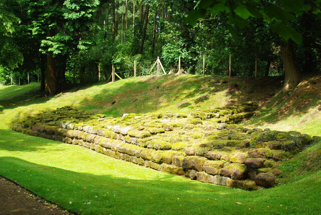
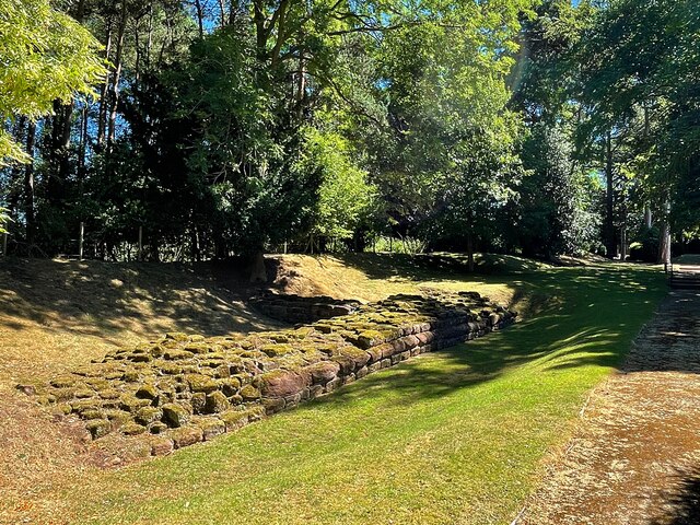
Today, Studforth Hill is recognized as an important archaeological site and is protected as a heritage landmark. Visitors can explore the remnants of ancient fortifications and burial mounds that dot the hilltop, offering a glimpse into the lives of its earliest inhabitants. The site also features interpretive signage and informational boards that provide historical context and insight into the hill's significance.
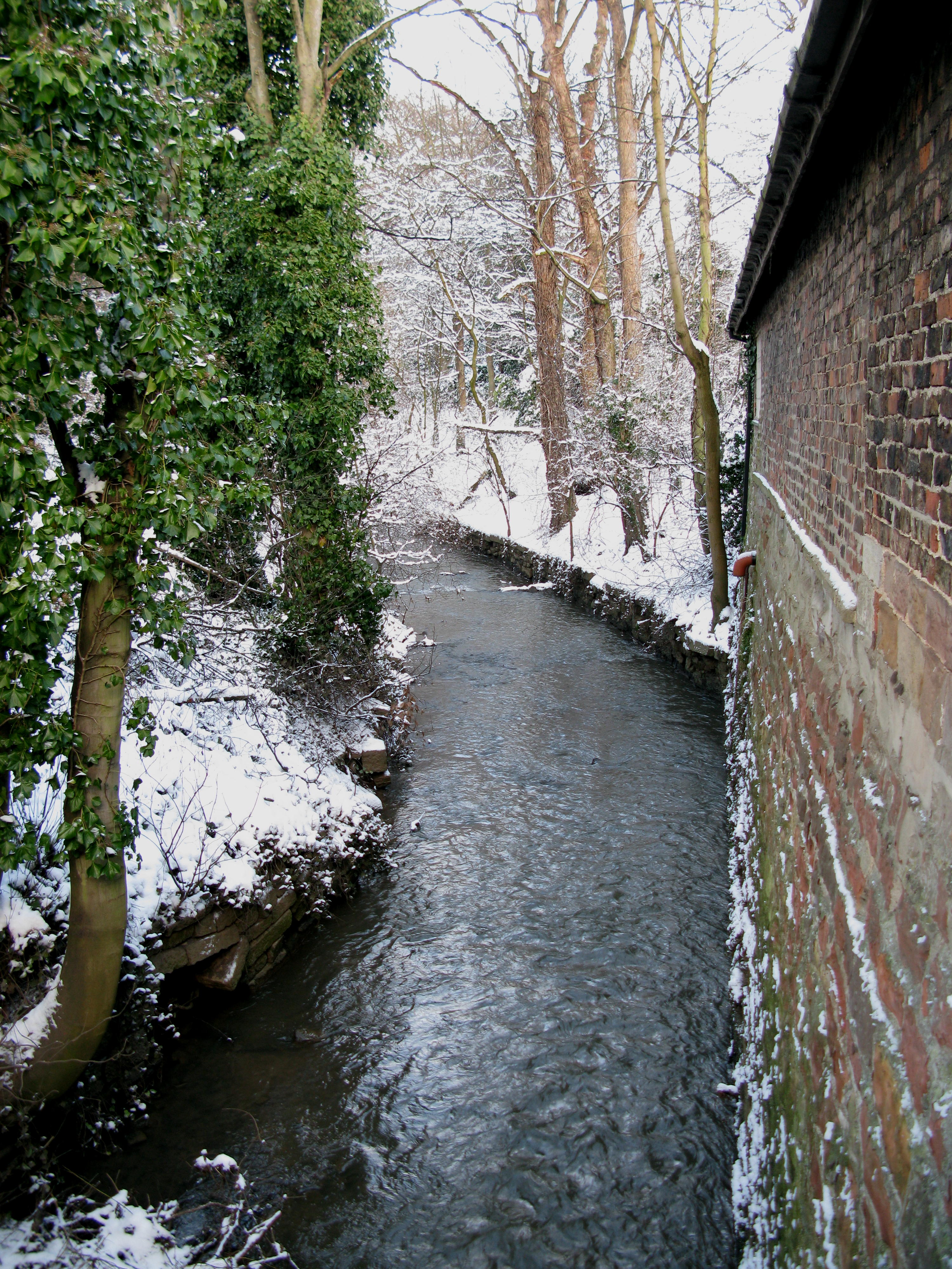
Aside from its historical importance, Studforth Hill boasts stunning natural beauty. The hill is covered in lush greenery and offers unobstructed views of the rolling countryside, making it a popular spot for hiking, picnicking, and photography. Many visitors also come to witness the captivating sunsets that paint the sky with a vibrant array of colors.
In conclusion, Studforth Hill in Yorkshire is a heritage site that combines historical significance with natural splendor. Its archaeological remains and breathtaking views make it a must-visit destination for those interested in exploring the region's past and immersing themselves in its stunning landscapes.
If you have any feedback on the listing, please let us know in the comments section below.
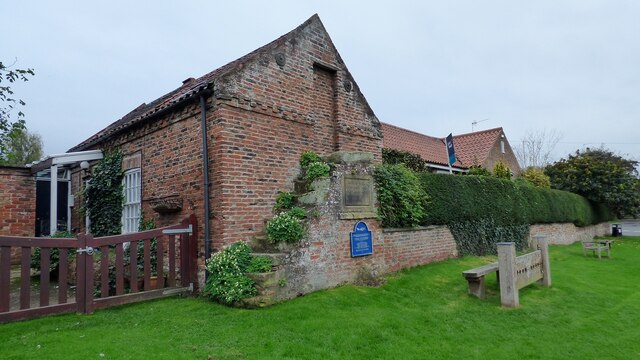
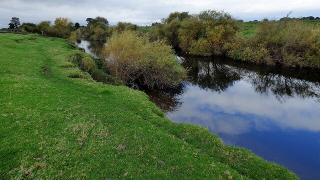
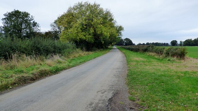
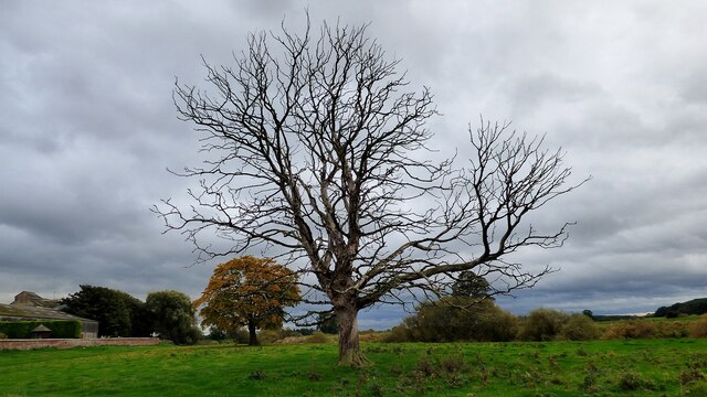
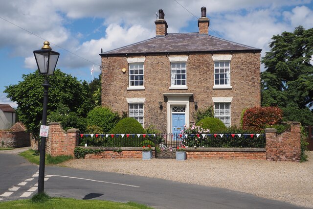
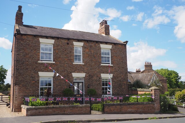
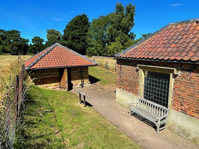
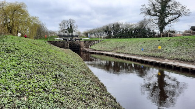
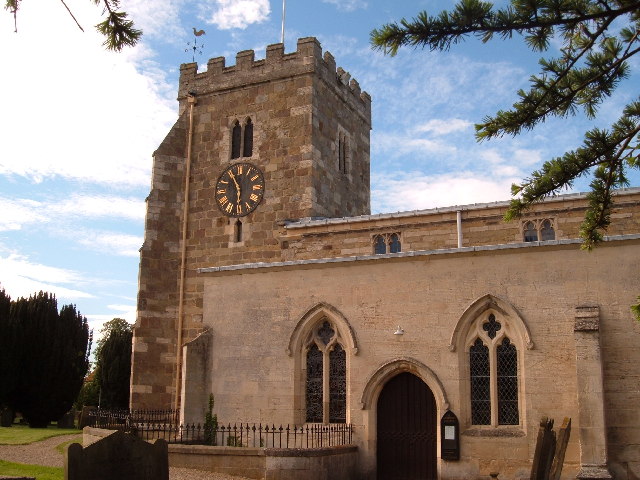
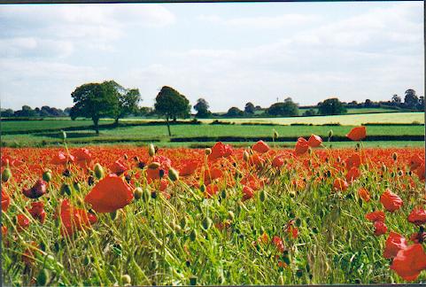
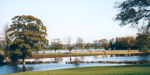
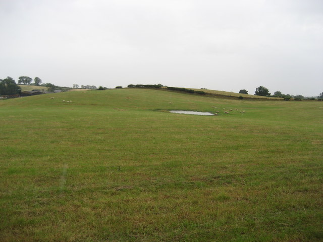
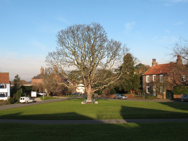
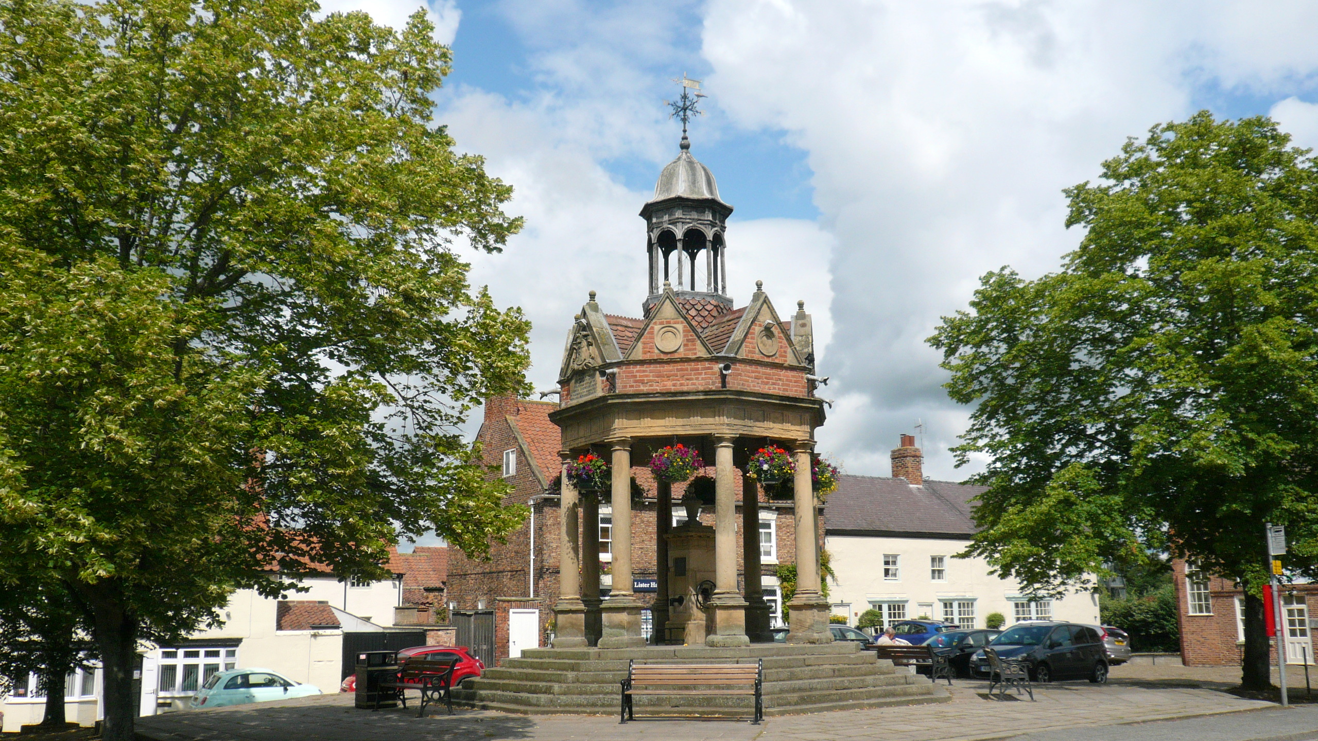
Studforth Hill Images
Images are sourced within 2km of 54.083/-1.382 or Grid Reference SE4065. Thanks to Geograph Open Source API. All images are credited.
Studforth Hill is located at Grid Ref: SE4065 (Lat: 54.083, Lng: -1.382)
Division: West Riding
Administrative County: North Yorkshire
District: Harrogate
Police Authority: North Yorkshire
What 3 Words
///anguished.giggled.full. Near Boroughbridge, North Yorkshire
Nearby Locations
Related Wikis

Aldborough Castle
Aldborough Castle was located near the village of Aldborough, North Yorkshire, England. The castle was located to the south-west of the village, built...

Isurium Brigantum
Isurium or Isurium of the Brigantes (Latin: Isurium Brigantum) was a Roman fort and town in the province of Britannia at the site of present-day Aldborough...
Aldborough, North Yorkshire
Aldborough is a village 7 miles (11 km) in the civil parish of Boroughbridge, to the north-east of Knaresborough, in North Yorkshire, England.Historically...
Boroughbridge
Boroughbridge ( BURR-ə-brij) is a town and civil parish in North Yorkshire, England. Historically part of the West Riding of Yorkshire, it is 16 miles...

Minskip
Minskip is a village in the civil parish of Boroughbridge, in North Yorkshire, England. It is on the A6055 road and 1 mile south-west of Boroughbridge...
River Tutt
The River Tutt is a 8.7-mile (14 km) long tributary of the River Ure in North Yorkshire, England. The river rises near to the villages of Nidd and Scotton...

Devil's Arrows
The Devil's Arrows are four standing stones or menhirs in an alignment approximately 660 feet (200 m) to the east of the A1(M), adjacent to Roecliffe Lane...

Battle of Boroughbridge
The Battle of Boroughbridge was fought on 16 March 1322 in England between a group of rebellious barons and the forces of King Edward II, near Boroughbridge...
Nearby Amenities
Located within 500m of 54.083,-1.382Have you been to Studforth Hill?
Leave your review of Studforth Hill below (or comments, questions and feedback).