Borough Green

Civil Parish in Kent Tonbridge and Malling

England

Borough Green

Long Mill Lane  Crouch
Long Mill Lane Crouch Credit: Ron Lee

Borough Green is a civil parish located in the county of Kent, England. Situated approximately 30 miles southeast of London, it falls within the Sevenoaks district. The village lies on the A25 road, connecting it to nearby towns such as Westerham and Maidstone.

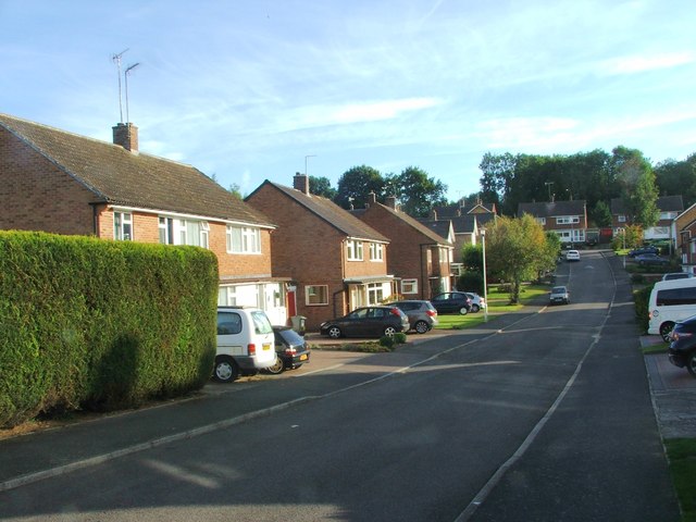
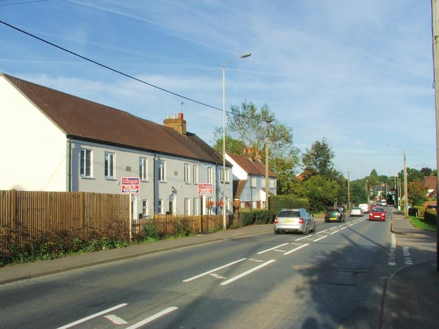
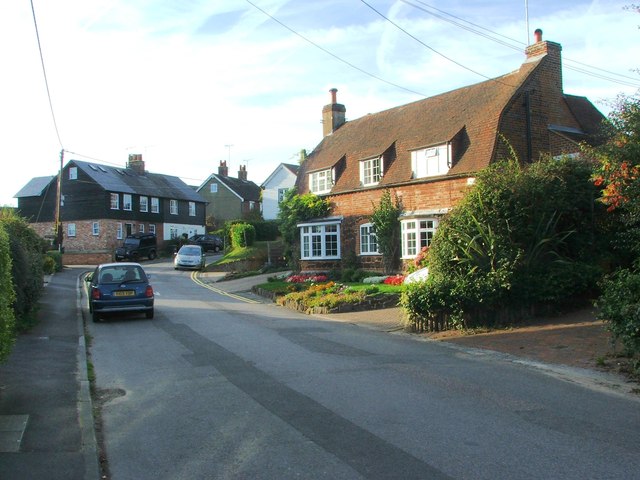
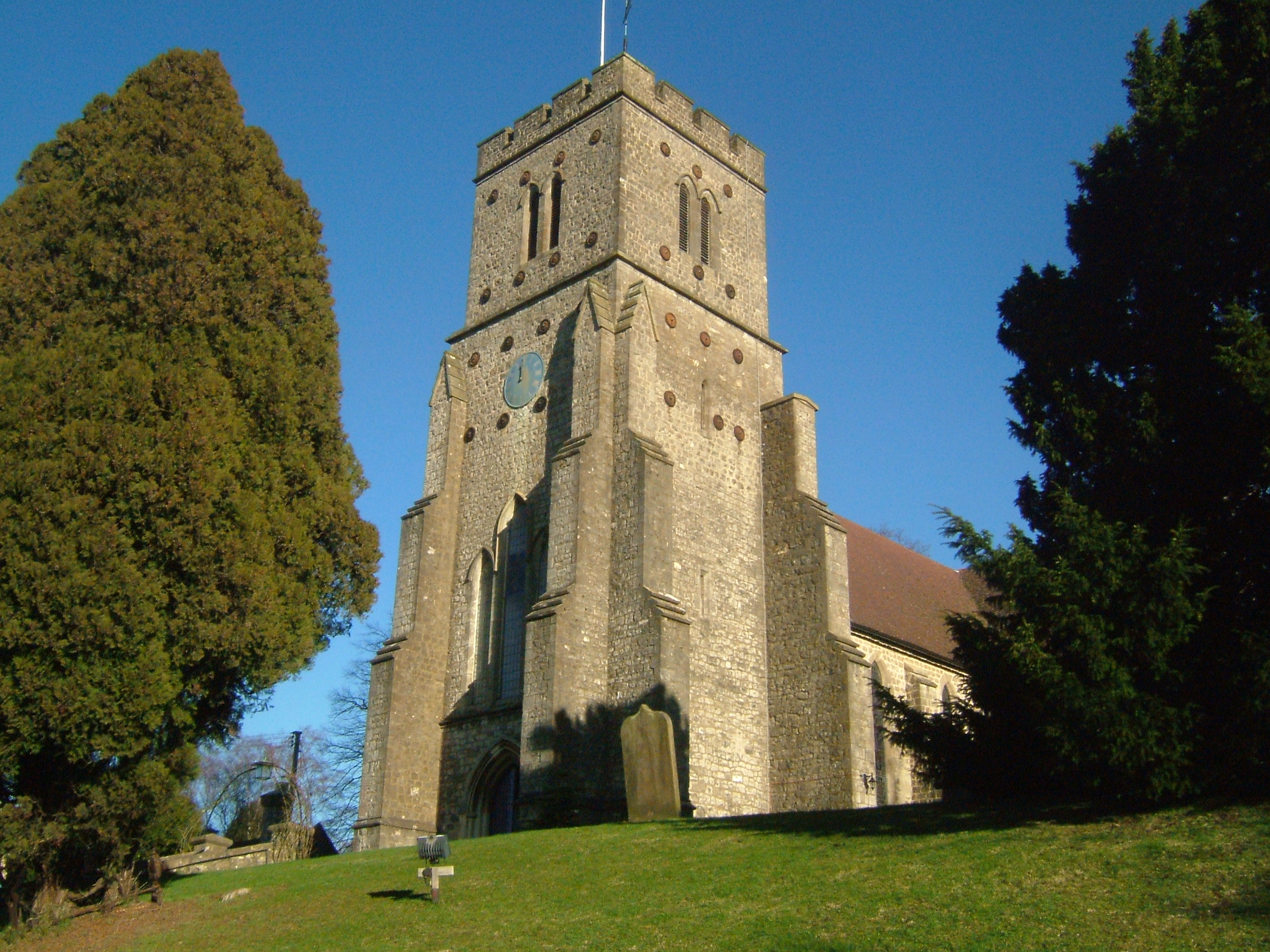
Borough Green boasts a charming and picturesque setting, surrounded by lush green countryside and rolling hills. The area is known for its rural beauty and tranquility, making it an attractive destination for those seeking a peaceful escape from the bustling city life.

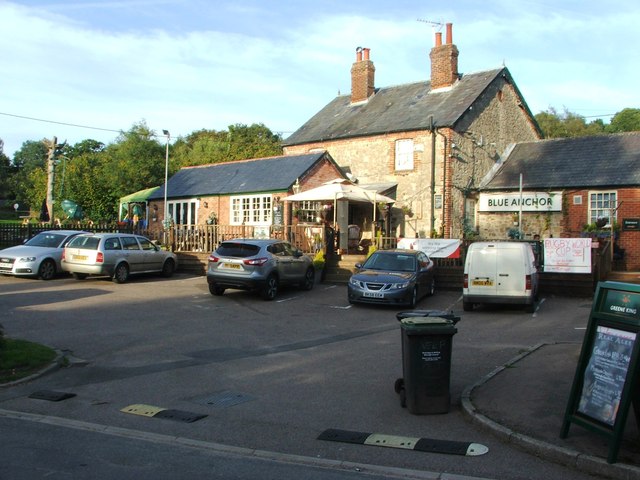
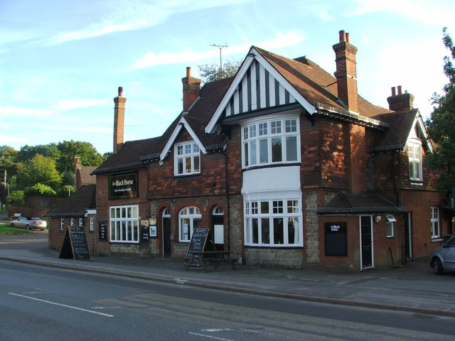
The village itself is small but offers a range of amenities and services to its residents. These include a variety of shops, pubs, restaurants, and a primary school. The community is tight-knit and friendly, with a strong sense of community spirit.

Transport links in Borough Green are excellent, with a railway station providing regular services to London Victoria, Ashford, and Maidstone. The village is also well-connected by road, with easy access to the M20 motorway, making it a convenient location for commuters.

For outdoor enthusiasts, the surrounding area offers plenty of opportunities for walking, cycling, and exploring the beautiful Kent countryside. Nearby attractions include the historic Ightham Mote, a medieval manor house, and the picturesque Knole Park.

Overall, Borough Green offers a peaceful and idyllic lifestyle, with its rural charm, excellent transport links, and range of amenities, making it an appealing place to live or visit in the scenic county of Kent.

If you have any feedback on the listing, please let us know in the comments section below.

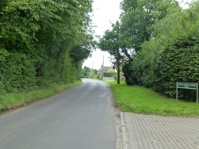
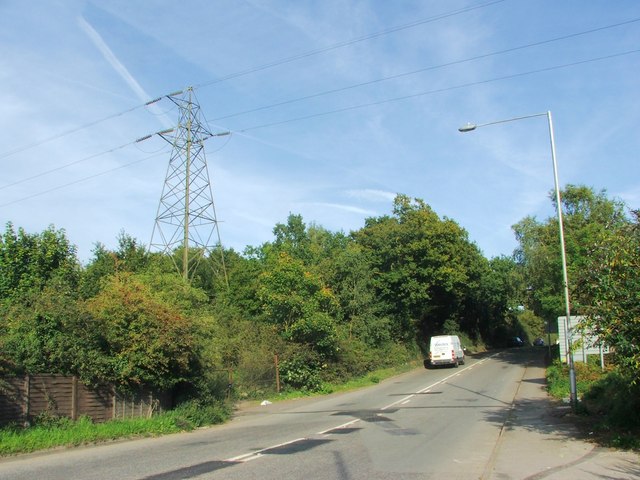
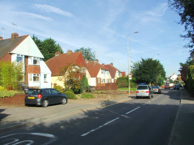
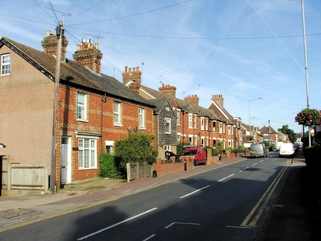
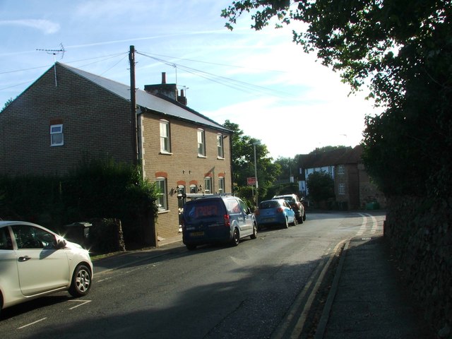
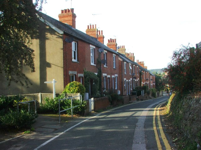
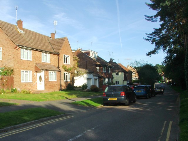
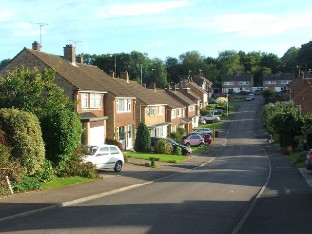
Borough Green Images

Images are sourced within 2km of 51.291156/0.306587 or Grid Reference TQ6057. Thanks to Geograph Open Source API. All images are credited.

Long Mill Lane  Crouch
Long Mill Lane Crouch
The former post office, Wrotham This building is listed, Grade II. The listing details state that it was built in the 18C and re-fronted in the early 19C. The letter box has the George V cypher, block capitals without the numeral, with 'Post Office' below.
The former post office, Wrotham
This building is listed, Grade II. The listing details state that it was built in the 18C and re-fronted in the early 19C. The letter box has the George V cypher, block capitals without the numeral, with 'Post Office' below.
The Rose and Crown, Wrotham The lettering on the side wall and the rose and the crown on the front are skilfully painted onto the wall.
The Rose and Crown, Wrotham
The lettering on the side wall and the rose and the crown on the front are skilfully painted onto the wall.
The Captain's Walk, Platt This is a row of four almshouses, listed Grade II. The listing details state that it was built c. 1850 in Tudor-Revival style. They are managed by the Betenson Trust.
The Captain's Walk, Platt
This is a row of four almshouses, listed Grade II. The listing details state that it was built c. 1850 in Tudor-Revival style. They are managed by the Betenson Trust.
Borough Green Road, Ightham
Sevenoaks Road, Borough Green
Western Road, Borough Green
Quarry Hill Road, Borough Green
Rock Road, Borough Green
Harrison Road, Borough Green
Crowhurst Road, Borough Green
Lendon Road, Borough Green
Crow Hill Road, Borough Green
Maidstone Road, St. Mary's Platt
Long Mill Lane, St. Mary's Platt
Blue Anchor, St. Mary's Platt
Long Mill Lane, St. Mary's Platt
The Black Horse, Borough Green
Show me another place!

Borough Green is located at Grid Ref: TQ6057 (Lat: 51.291156, Lng: 0.306587)

Administrative County: Kent

District: Tonbridge and Malling

Police Authority: Kent

What 3 Words

///soda.craft.gone. Near Borough Green, Kent

Related Wikis

Borough Green

Borough Green is situated in the borough of Tonbridge and Malling in Kent, England. The central area is situated on the A25 road between Maidstone and...

Borough Green & Wrotham railway station

Borough Green & Wrotham railway station is located in Borough Green in Kent, England. It is 29 miles 46 chains (47.6 km) down the line from London Victoria...

Wrotham School

Wrotham School is a coeducational secondary school and sixth form with academy status, near Sevenoaks, Kent, England. It has about 760 registered students...

Platt, Kent

Platt, or St. Mary's Platt is a village and civil parish in the local government district of Tonbridge and Malling in Kent, England. The hamlet of Crouch...

Ightham

Ightham ( EYE-təm) is a parish and village in Kent, England, located approximately four miles east of Sevenoaks and six miles north of Tonbridge. The...

Basted, Kent

Basted is a hamlet in the Tonbridge and Malling district, in the county of Kent, England. == Nearby settlements == === Town === Sevenoaks === Villages... ===

Claygate Cross

Claygate Cross is a hamlet in the Tonbridge and Malling district, in the English county of Kent. == Location == It is near the River Bourne. Nearby settlements...

Napps, Wrotham

Napps was a cricket ground at Wrotham in Kent. One match played on the ground was given retrospective first-class cricket status. This took place in 1815...

Nearby Amenities

Located within 500m of 51.291156,0.306587
Mini Roundabout
Lat/Long: 51.2924705/0.3019284
Crossing
Lat/Long: 51.2933923/0.3072827
Crossing
Lat/Long: 51.2909365/0.3091799
Borough Green
Created By: Potlatch 0.8c
Place: village
Source: npe
Lat/Long: 51.2908494/0.3069949
Borough Green & Wrotham
Public Transport: stop_position
Train: yes
Lat/Long: 51.2931562/0.306193
Atm
Lat/Long: 51.2928939/0.307224
Pub
Black Horse
Created By: Potlatch 0.8c
Lat/Long: 51.290548/0.3097121
Post Box
Collection Times: Mo-Fr 09:00; Sa 07:00; Su off
Colour: red
Ref: TN15 256
Royal Cypher: EIIR
Royal Cypher Wikidata: Q33102113
Lat/Long: 51.2898341/0.3030774
Shop: carpet
Lat/Long: 51.2927139/0.3027764
Post Box
Collection Times: Mo-Fr 17:00; Sa 11:00; Su off
Colour: red
Ref: TN15 285
Royal Cypher: EIIR
Royal Cypher Wikidata: Q33102113
Lat/Long: 51.2926882/0.3027854
Bicycle Parking
Bicycle Parking: stands
Capacity: 4
Check Date Capacity: 2022-02-11
Covered: no
Lat/Long: 51.2925859/0.3066919
Post Box
Collection Times: Mo-Fr 16:30; Sa 11:00; Su off
Colour: red
Ref: TN15 114
Royal Cypher: EIIR
Royal Cypher Wikidata: Q33102113
Lat/Long: 51.29272/0.306899
Atm
Operator: NatWest
Lat/Long: 51.292525/0.3063447
Toilets
Lat/Long: 51.2917863/0.3061222
Bicycle Parking
Bicycle Parking: stands
Capacity: 10
Covered: no
Created By: Potlatch 0.8c
Lat/Long: 51.2932281/0.3057525
Post Box
Collection Times: Mo-Fr 09:00; Sa 07:00; Su off
Colour: red
Post Box Mounting: wooden_post
Post Box Type: lamp
Ref: TN15 217
Royal Cypher: EIIR
Royal Cypher Wikidata: Q33102113
Lat/Long: 51.2944022/0.3042746
Bank
Barclays
Brand: Barclays
Brand Wikidata: Q245343
Brand Wikipedia: en:Barclays
Operator: Barclays Bank PLC
Lat/Long: 51.2929258/0.307335
Fuel
Operator: Esso
Lat/Long: 51.290238/0.3119432
Bus Stop
Western Road
Bench: no
Bin: yes
Naptan AtcoCode: 240097747
Naptan Bearing: W
Naptan CommonName: Western Road
Naptan Indicator: W-bound
Naptan Landmark: St Joseph's RC Chapel
Naptan NaptanCode: kntgptat
Naptan Street: Western Road
Naptan Verified: no
Public Transport: platform
Ref: kntgptat
Shelter: no
Source: naptan_import
Source Date: 2018-03-01T11:18:00
Lat/Long: 51.2926002/0.305712
Bus Stop
The Black Horse
Naptan AtcoCode: 2400A005340A
Naptan Bearing: NW
Naptan CommonName: The Black Horse
Naptan Indicator: o/s
Naptan Landmark: The Black Horse
Naptan NaptanCode: kntagwgj
Naptan Street: Maidstone Road
Naptan Verified: no
Public Transport: platform
Ref: kntagwgj
Source: naptan_import
Source Date: 2018-03-01T10:54:00
Lat/Long: 51.2906975/0.3096184
Bus Stop
Brockway
Naptan AtcoCode: 2400A005350A
Naptan Bearing: E
Naptan CommonName: Brockway
Naptan Indicator: opp
Naptan Landmark: Brockway
Naptan NaptanCode: kntagwgm
Naptan Street: Maidstone Road
Naptan Verified: no
Public Transport: platform
Ref: kntagwgm
Source: naptan_import
Source Date: 2018-03-01T10:58:00
Lat/Long: 51.2909377/0.3129437
Bus Stop
High Street
Bench: yes
Bin: yes
Lit: yes
Naptan AtcoCode: 2400A005360A
Naptan Bearing: SW
Naptan CommonName: High Street
Naptan Indicator: SW-bound
Naptan Landmark: Library
Naptan NaptanCode: kntagwgp
Naptan Street: High Street
Naptan Verified: no
Public Transport: platform
Ref: kntagwgp
Shelter: no
Source: naptan_import
Source Date: 2018-03-01T11:06:00
Tactile Paving: no
Lat/Long: 51.292083/0.3059443
Bus Stop
High Street
Bench: no
Bin: no
Lit: no
Naptan AtcoCode: 2400A005370A
Naptan Bearing: NE
Naptan CommonName: High Street
Naptan Indicator: NE-bound
Naptan Landmark: Library
Naptan NaptanCode: kntagwgt
Naptan Street: High Street
Naptan Verified: no
Public Transport: platform
Ref: kntagwgt
Shelter: no
Source: naptan_import
Source Date: 2018-03-01T11:04:00
Tactile Paving: no
Lat/Long: 51.2923155/0.3060133
Bus Stop
Sevenoaks Road
Naptan AtcoCode: 2400A005410A
Naptan Bearing: W
Naptan CommonName: Sevenoaks Road
Naptan Indicator: W-bound
Naptan Landmark: Western Road
Naptan NaptanCode: kntagwjd
Naptan Street: Sevenoaks Road
Naptan Verified: no
Public Transport: platform
Ref: kntagwjd
Source: naptan_import
Source Date: 2018-03-01T11:14:00
Lat/Long: 51.2924386/0.3006693
Bus Stop
Sevenoaks Road
Naptan AtcoCode: 2400A005420A
Naptan Bearing: E
Naptan CommonName: Sevenoaks Road
Naptan Indicator: E-bound
Naptan Landmark: Western Road
Naptan NaptanCode: kntagwjg
Naptan Street: Sevenoaks Road
Naptan Verified: no
Public Transport: platform
Ref: kntagwjg
Shelter: no
Source: naptan_import
Source Date: 2018-03-01T11:13:00
Lat/Long: 51.2925813/0.3002748
Taxi
Borough Green & Wrotham Rail Station
Capacity: 2
Naptan AtcoCode: 2400A060480R
Naptan CommonName: Borough Green & Wrotham Rail Station
Naptan Indicator: taxi rank
Naptan Landmark: Station
Naptan Street: Station Approach
Naptan Verified: no
Source: naptan_import
Source Date: 2013-07-23T13:50:00
Lat/Long: 51.2936193/0.3064803
Co-op Food
Addr Postcode: TN15 8AD
Brand: Co-op Food
Brand Wikidata: Q3277439
Brand Wikipedia: en:Co-op Food
Operator: The Co-operative Group
Operator Wikidata: Q117202
Shop: supermarket
Website: https://www.coop.co.uk/store-finder/TN15-8AD/station-approach
Lat/Long: 51.2933613/0.3067601
Addr City: Borough Green
Addr Country: GB
Addr Housenumber: 1a
Addr Postcode: TN15 8ER
Addr Street: Station Road
Lat/Long: 51.2929164/0.307471
Shop: beauty
Lat/Long: 51.2927231/0.3029889
Shop: butcher
Lat/Long: 51.2927187/0.3026974
Shop: convenience
Lat/Long: 51.2927197/0.3028414
Fast Food
Cuisine: kebab
Lat/Long: 51.2927231/0.3029179
Crossing
Lat/Long: 51.2926675/0.3060871
Post Office
Borough Green Post Office
Addr Postcode: TN15 8BJ
Branch: Borough Green
Brand: Post Office
Brand Wikidata: Q1783168
Brand Wikipedia: en:Post Office Ltd
Check Date: 2020-02-20
Contact Website: https://www.postoffice.co.uk/branch-finder/2149486/borough-green
Ref Pol Id: 130110
Lat/Long: 51.2924825/0.306668
Borough Green & Wrotham
Naptan AtcoCode: 9100BORWGAW
Network: National Rail
Network Website: https://www.nationalrail.co.uk/stations/brg/
Network Wikidata: Q26334
Operator: Southeastern
Operator Website: https://www.southeasternrailway.co.uk/travel-information/more-travel-help/station-information/stations/borough-green-wrotham
Operator Wikidata: Q1696490
Public Transport: station
Railway: station
Ref Crs: BRG
Wikidata: Q4946312
Wikipedia: en:Borough Green & Wrotham railway station
Lat/Long: 51.2931422/0.3061936
Borough Green & Wrotham
Public Transport: stop_position
Train: yes
Lat/Long: 51.2930926/0.3044307
Turning Loop
Lat/Long: 51.2911957/0.3054219
Bus Stop
Medical Practice
Bench: no
Bin: no
Fixme: Can someone confirm whether or not busses stop here?
Flag: no
Naptan AtcoCode: 2400106834
Naptan Bearing: S
Naptan BusStopType: CUS
Naptan CommonName: Medical Practice
Naptan Indicator: o/s
Naptan Landmark: Medical Practice
Naptan NaptanCode: kntjwamp
Naptan Street: Quarry Hill Road
Naptan Verified: no
Public Transport: platform
Ref: kntjwamp
Shelter: no
Source: NAPTAN
Source Date: 2018-03-01T11:08:00
Tactile Paving: no
Lat/Long: 51.2888197/0.3026828
Bus Stop
Brockway
Naptan AtcoCode: 2400102638
Naptan Bearing: W
Naptan CommonName: Brockway
Naptan Indicator: adj
Naptan Landmark: Brockway
Naptan NaptanCode: kntjapmg
Naptan Street: Maidstone Road
Naptan Verified: no
Public Transport: platform
Ref: kntjapmg
Source: NAPTAN
Source Date: 2018-03-01T10:59:00
Lat/Long: 51.2908601/0.3132267
Bus Stop
Railway Station
Bench: yes
Naptan AtcoCode: 2400A074770A
Naptan Bearing: E
Naptan CommonName: Railway Station
Naptan Indicator: opp
Naptan Landmark: Railway Station
Naptan NaptanCode: kntjpwjd
Naptan Street: Station Approach
Public Transport: platform
Ref: kntjpwjd
Shelter: yes
Source: NAPTAN
Source Date: 2018-03-01T11:12:00
Lat/Long: 51.293688/0.3071005
Bus Stop
The Avenue
Fixme: Can someone confirm whether or not busses stop here?
Flag: no
Naptan AtcoCode: 2400104418
Naptan Bearing: NE
Naptan BusStopType: CUS
Naptan CommonName: The Avenue
Naptan Indicator: opp
Naptan Landmark: The Avenue
Naptan NaptanCode: kntjpdjp
Naptan Street: Wrotham Road
Naptan Verified: no
Public Transport: platform
Ref: kntjpdjp
Source: NAPTAN
Source Date: 2018-03-01T11:17:00
Lat/Long: 51.295507/0.3083536
Bus Stop
The Avenue
Naptan AtcoCode: 2400104416
Naptan Bearing: SW
Naptan CommonName: The Avenue
Naptan Indicator: adj
Naptan Landmark: The Avenue
Naptan NaptanCode: kntjpgap
Naptan Street: Wrotham Road
Naptan Verified: no
Public Transport: platform
Ref: kntjpgap
Source: NAPTAN
Source Date: 2018-03-01T11:16:00
Lat/Long: 51.2954758/0.3085672
Post Box
Collection Times: Mo-Fr 09:00; Sa 07:00; Su off
Colour: Red
Ref: TN15 249
Royal Cypher: EIIR
Royal Cypher Wikidata: Q33102113
Lat/Long: 51.2906538/0.3122769
Generator Method: photovoltaic
Generator Output Electricity: yes
Generator Source: solar
Generator Type: solar_photovoltaic_panel
Location: roof
Power: generator
Lat/Long: 51.2889815/0.3048009
Generator Method: photovoltaic
Generator Output Electricity: yes
Generator Source: solar
Generator Type: solar_photovoltaic_panel
Location: roof
Power: generator
Lat/Long: 51.2880472/0.3048304
Generator Method: photovoltaic
Generator Output Electricity: yes
Generator Source: solar
Generator Type: solar_photovoltaic_panel
Location: roof
Power: generator
Lat/Long: 51.2877821/0.3048062
Generator Method: photovoltaic
Generator Output Electricity: yes
Generator Source: solar
Generator Type: solar_photovoltaic_panel
Location: roof
Power: generator
Lat/Long: 51.2877704/0.3063619
Generator Method: photovoltaic
Generator Output Electricity: yes
Generator Source: solar
Generator Type: solar_photovoltaic_panel
Location: roof
Power: generator
Lat/Long: 51.2883089/0.3063244
Generator Method: photovoltaic
Generator Output Electricity: yes
Generator Source: solar
Generator Type: solar_photovoltaic_panel
Location: roof
Power: generator
Lat/Long: 51.2891618/0.3066811
Generator Method: photovoltaic
Generator Output Electricity: yes
Generator Source: solar
Generator Type: solar_photovoltaic_panel
Location: roof
Power: generator
Lat/Long: 51.2897439/0.3064424
Generator Method: photovoltaic
Generator Output Electricity: yes
Generator Source: solar
Generator Type: solar_photovoltaic_panel
Location: roof
Power: generator
Lat/Long: 51.2897372/0.3065175
Generator Method: photovoltaic
Generator Output Electricity: yes
Generator Source: solar
Generator Type: solar_photovoltaic_panel
Location: roof
Power: generator
Lat/Long: 51.2896776/0.3116244
Generator Method: photovoltaic
Generator Output Electricity: yes
Generator Source: solar
Generator Type: solar_photovoltaic_panel
Location: roof
Power: generator
Lat/Long: 51.2925803/0.3116445
Generator Method: photovoltaic
Generator Output Electricity: yes
Generator Source: solar
Generator Type: solar_photovoltaic_panel
Location: roof
Power: generator
Lat/Long: 51.2925677/0.3117022
Generator Method: photovoltaic
Generator Output Electricity: yes
Generator Source: solar
Generator Type: solar_photovoltaic_panel
Location: roof
Power: generator
Lat/Long: 51.2922188/0.3111121
Generator Method: photovoltaic
Generator Output Electricity: yes
Generator Source: solar
Generator Type: solar_photovoltaic_panel
Location: roof
Power: generator
Lat/Long: 51.2905449/0.3052542
Generator Method: photovoltaic
Generator Output Electricity: yes
Generator Source: solar
Generator Type: solar_photovoltaic_panel
Location: roof
Power: generator
Lat/Long: 51.2902798/0.3064746
Generator Method: photovoltaic
Generator Output Electricity: yes
Generator Source: solar
Generator Type: solar_photovoltaic_panel
Location: roof
Power: generator
Lat/Long: 51.2905784/0.3063941
Generator Method: photovoltaic
Generator Output Electricity: yes
Generator Source: solar
Generator Type: solar_photovoltaic_panel
Location: roof
Power: generator
Lat/Long: 51.2908887/0.3071505
Generator Method: photovoltaic
Generator Output Electricity: yes
Generator Source: solar
Generator Type: solar_photovoltaic_panel
Location: roof
Power: generator
Lat/Long: 51.2911974/0.3026417
Generator Method: photovoltaic
Generator Output Electricity: yes
Generator Source: solar
Generator Type: solar_photovoltaic_panel
Location: roof
Power: generator
Lat/Long: 51.2937267/0.3065014
Generator Method: photovoltaic
Generator Output Electricity: yes
Generator Source: solar
Generator Type: solar_photovoltaic_panel
Location: roof
Power: generator
Lat/Long: 51.2938072/0.3067723
Generator Method: photovoltaic
Generator Output Electricity: yes
Generator Source: solar
Generator Type: solar_photovoltaic_panel
Location: roof
Power: generator
Lat/Long: 51.2941343/0.306614
Generator Method: photovoltaic
Generator Output Electricity: yes
Generator Source: solar
Generator Type: solar_photovoltaic_panel
Location: roof
Power: generator
Lat/Long: 51.2941393/0.3067267
Generator Method: photovoltaic
Generator Output Electricity: yes
Generator Source: solar
Generator Type: solar_photovoltaic_panel
Location: roof
Power: generator
Lat/Long: 51.2935573/0.3107098
Generator Method: photovoltaic
Generator Output Electricity: yes
Generator Source: solar
Generator Type: solar_photovoltaic_panel
Location: roof
Power: generator
Lat/Long: 51.2922834/0.3076883
Generator Method: photovoltaic
Generator Output Electricity: yes
Generator Source: solar
Generator Type: solar_photovoltaic_panel
Location: roof
Power: generator
Lat/Long: 51.2922826/0.307766
Crossing
Crossing: uncontrolled
Crossing Ref: zebra
Kerb: lowered
Supervised: no
Tactile Paving: yes
Lat/Long: 51.2925027/0.3064962
Post Box
Collection Times: Mo-Fr 09:00; Sa 07:00; Su off
Colour: Red
Ref: TN15 255
Royal Cypher: EIIR
Royal Cypher Wikidata: Q33102113
Lat/Long: 51.2902583/0.3010271
Restaurant
Happy Garden
Cuisine: chinese
Lat/Long: 51.2938316/0.3073342
Borough Green Taxis
Office: taxi
Lat/Long: 51.2937628/0.3072913
The Village Barbers
Shop: hairdresser
Lat/Long: 51.2937385/0.3072913
Sainsbury's Local
Brand: Sainsbury's Local
Brand Wikidata: Q13218434
Shop: convenience
Lat/Long: 51.293512/0.3075971
Coral
Brand: Coral
Brand Wikidata: Q54621344
Shop: bookmaker
Lat/Long: 51.2936982/0.3076158
Give Way
Direction: backward
Lat/Long: 51.294364/0.304375
Give Way
Direction: backward
Lat/Long: 51.2943153/0.3043537
The data included in this document is from www.openstreetmap.org. The data is made available under ODbL.

Have you been to Borough Green?

Leave your review of Borough Green below (or comments, questions and feedback).