Boothby Graffoe
Civil Parish in Lincolnshire North Kesteven
England
Boothby Graffoe
Boothby Graffoe is a civil parish located in the county of Lincolnshire, England. It is situated approximately 10 miles south of the city of Lincoln. The parish covers an area of about 2.5 square miles and has a population of around 400 people.
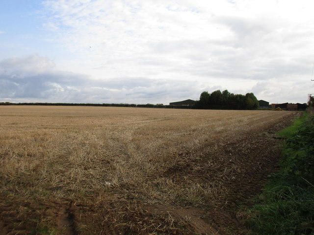
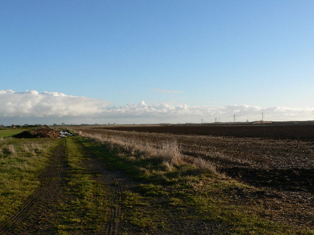
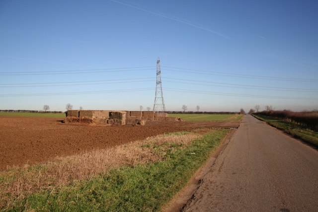
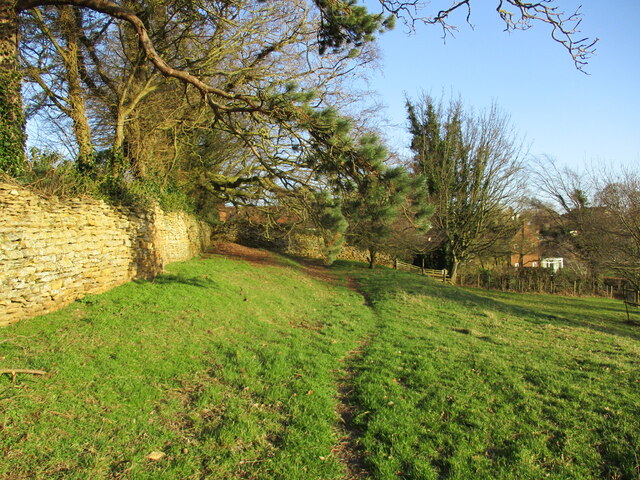
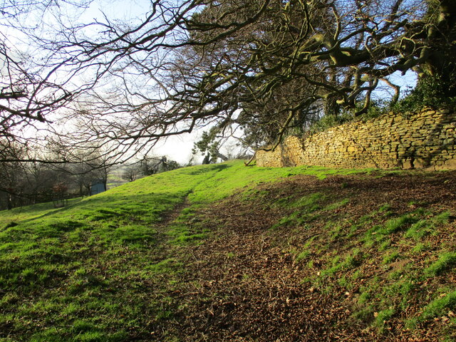
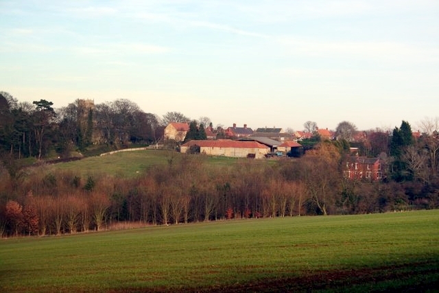
The village of Boothby Graffoe is set in a rural landscape, surrounded by picturesque countryside. The area is known for its rolling hills, meadows, and farmland, making it an ideal location for those seeking a peaceful and idyllic lifestyle.
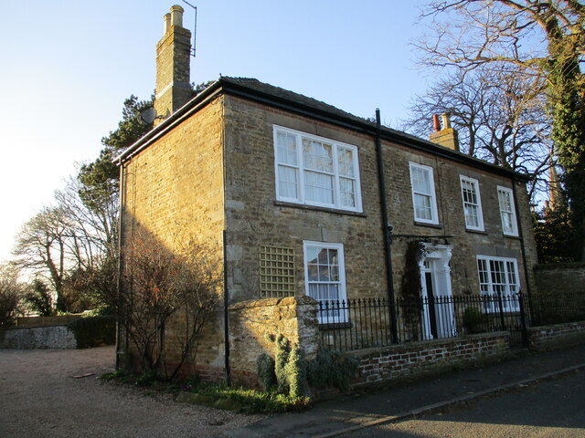
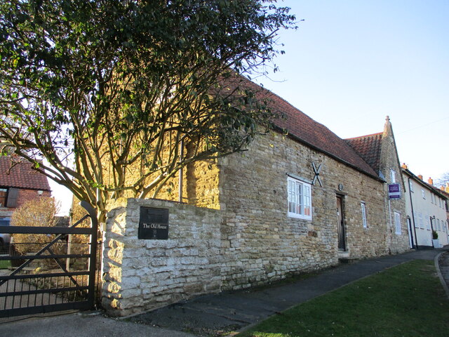
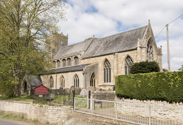
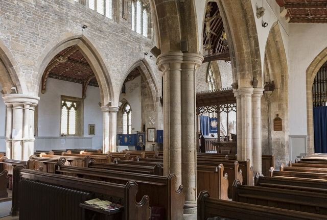
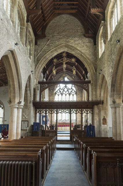
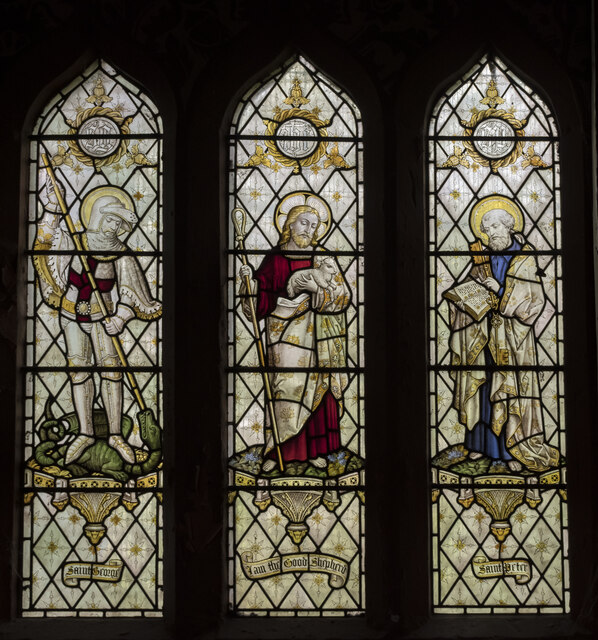
The village itself is small but charming, with a few amenities including a local pub, a village hall, and a church dating back to the 13th century. The church, dedicated to St. Andrew, is a prominent feature of the village and is well-preserved, attracting visitors interested in historical architecture.
Boothby Graffoe enjoys a strong sense of community, with residents actively engaging in various local activities and events. The parish hosts regular gatherings and social events, fostering a friendly and welcoming atmosphere.
The surrounding area offers ample opportunities for outdoor recreation, with numerous walking and cycling routes available. The nearby River Witham also provides opportunities for fishing and boating enthusiasts.
Overall, Boothby Graffoe offers a peaceful and rural lifestyle, with a close-knit community and access to beautiful countryside, making it an attractive place to live for those seeking tranquility and a connection with nature.
If you have any feedback on the listing, please let us know in the comments section below.
Boothby Graffoe Images
Images are sourced within 2km of 53.123672/-0.518713 or Grid Reference SK9959. Thanks to Geograph Open Source API. All images are credited.


Boothby Graffoe is located at Grid Ref: SK9959 (Lat: 53.123672, Lng: -0.518713)
Administrative County: Lincolnshire
District: North Kesteven
Police Authority: Lincolnshire
What 3 Words
///charge.freezing.calibrate. Near Navenby, Lincolnshire
Nearby Locations
Related Wikis

Boothby Graffoe
Boothby Graffoe is a village and civil parish in the North Kesteven district of Lincolnshire, England. The population of the civil parish at the 2011 census...
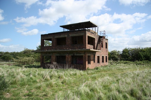
RAF Coleby Grange
Royal Air Force Coleby Grange or more simply RAF Coleby Grange was a Royal Air Force satellite station situated alongside the western edge of the A15 on...

Coleby, North Kesteven
Coleby is a village and civil parish in the North Kesteven district of Lincolnshire, England. It is situated on the A607, and approximately 6 miles (10...
Navenby
Navenby is a village and civil parish in the North Kesteven district of Lincolnshire, England. Lying 8 miles (13 km) south from Lincoln and 9 miles (14...
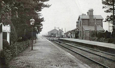
Navenby railway station
Navenby railway station was a railway station in Navenby, Lincolnshire on the Grantham and Lincoln railway line. The station closed for passengers in...

Wellingore
Wellingore is a village and civil parish in the North Kesteven district of Lincolnshire, England. The population of the civil parish at the 2011 census...
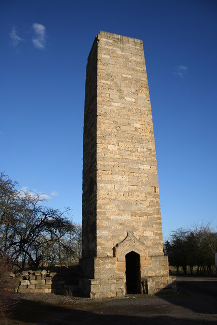
Dunston Pillar
Dunston Pillar is a Grade II listed stone tower in Lincolnshire, England and a former 'land lighthouse'. It stands beside the A15 road approximately 6...
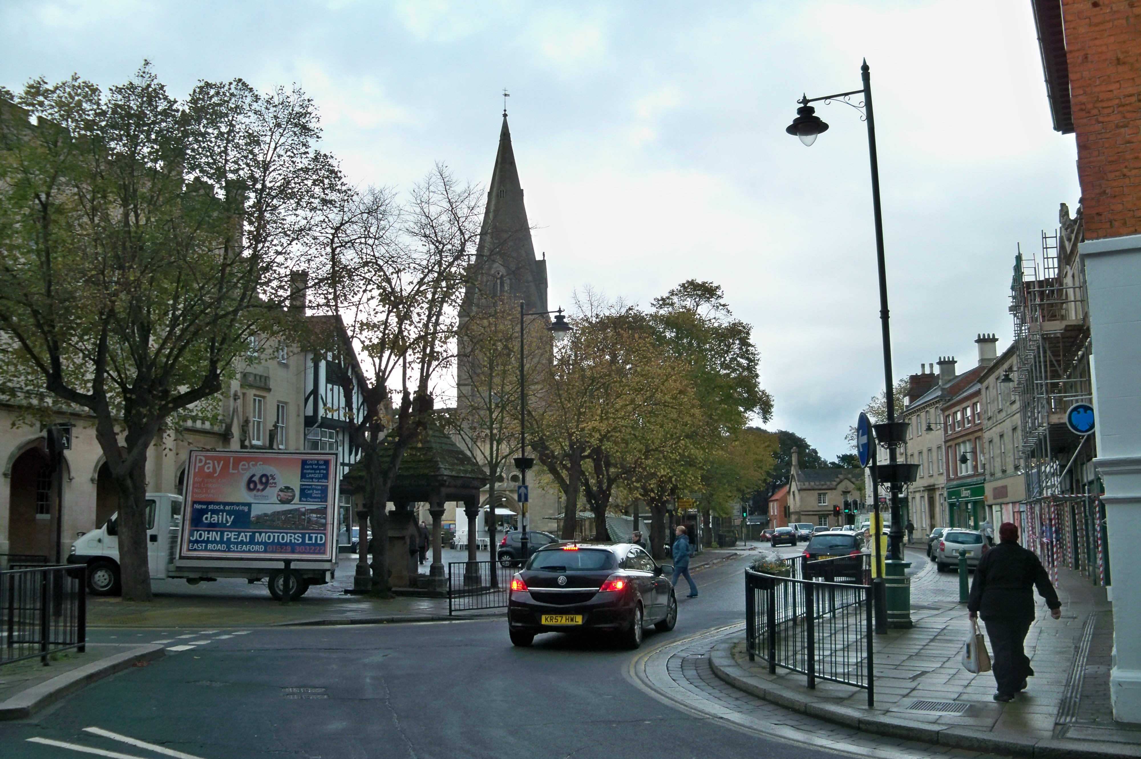
North Kesteven
North Kesteven is a local government district in Lincolnshire, England. The council is based in Sleaford. The district also contains the town of North...
Nearby Amenities
Located within 500m of 53.123672,-0.518713Have you been to Boothby Graffoe?
Leave your review of Boothby Graffoe below (or comments, questions and feedback).