Boothby Graffoe Heath
Downs, Moorland in Lincolnshire North Kesteven
England
Boothby Graffoe Heath

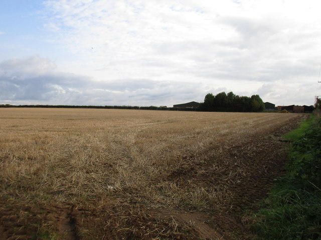
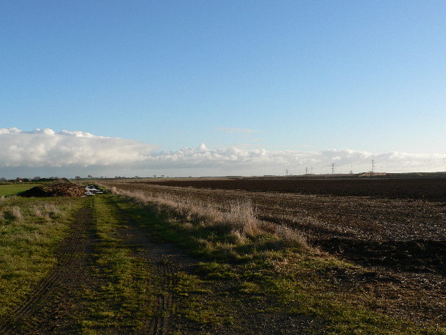
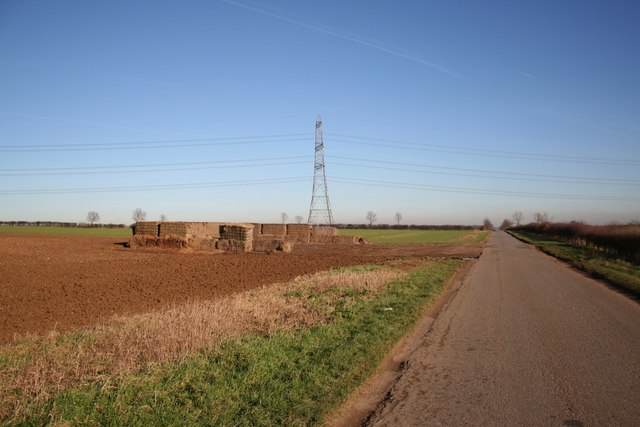
Boothby Graffoe Heath is a picturesque and tranquil area located in the county of Lincolnshire, England. Situated on the western edge of the Lincolnshire Wolds, this heathland encompasses a range of diverse landscapes, including downs and moorland. Covering an area of approximately 1,000 acres, it is a haven for nature enthusiasts and outdoor enthusiasts alike.
The heathland is characterized by its rolling hills, vast open spaces, and sprawling fields. It is home to a rich variety of flora and fauna, with heather, gorse, and bracken dominating the landscape. This creates a stunning tapestry of colors, particularly during the summer months when the heath is in full bloom.
The area is also known for its diverse wildlife. Visitors may spot a range of bird species, including red grouse, skylarks, and curlews, as they traverse the heath. In addition, the heathland provides a habitat for small mammals such as foxes, rabbits, and voles.
Boothby Graffoe Heath offers numerous opportunities for outdoor activities, such as hiking, cycling, and horseback riding. There are several well-maintained trails and paths that wind through the heath, allowing visitors to explore its natural beauty at their own pace.
For those interested in history, the heath is also home to several archaeological sites, including ancient burial mounds and Roman remains. These provide a glimpse into the rich history of the area and offer a fascinating insight into the lives of its past inhabitants.
Overall, Boothby Graffoe Heath is a stunning and diverse landscape that offers a unique experience for nature lovers and history enthusiasts alike.
If you have any feedback on the listing, please let us know in the comments section below.
Boothby Graffoe Heath Images
Images are sourced within 2km of 53.127174/-0.51607534 or Grid Reference SK9959. Thanks to Geograph Open Source API. All images are credited.


Boothby Graffoe Heath is located at Grid Ref: SK9959 (Lat: 53.127174, Lng: -0.51607534)
Administrative County: Lincolnshire
District: North Kesteven
Police Authority: Lincolnshire
What 3 Words
///vent.king.plump. Near Navenby, Lincolnshire
Nearby Locations
Related Wikis

Boothby Graffoe
Boothby Graffoe is a village and civil parish in the North Kesteven district of Lincolnshire, England. The population of the civil parish at the 2011 census...
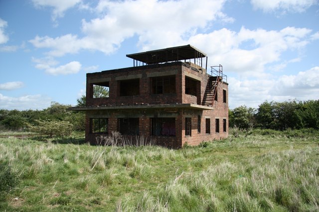
RAF Coleby Grange
Royal Air Force Coleby Grange or more simply RAF Coleby Grange was a Royal Air Force satellite station situated alongside the western edge of the A15 on...

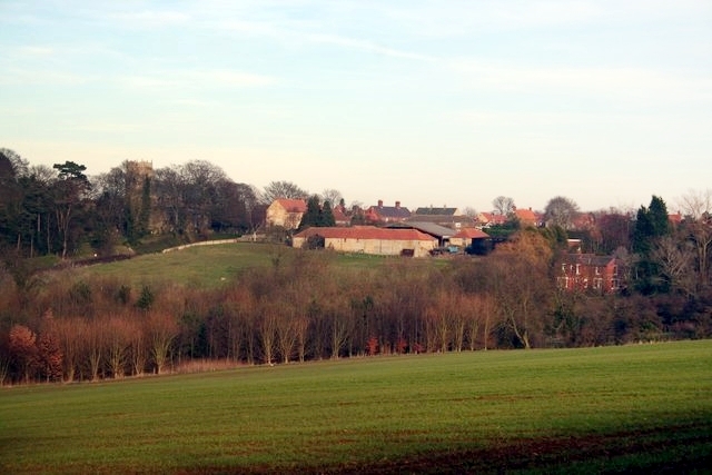
Coleby, North Kesteven
Coleby is a village and civil parish in the North Kesteven district of Lincolnshire, England. It is situated on the A607, and approximately 6 miles (10...
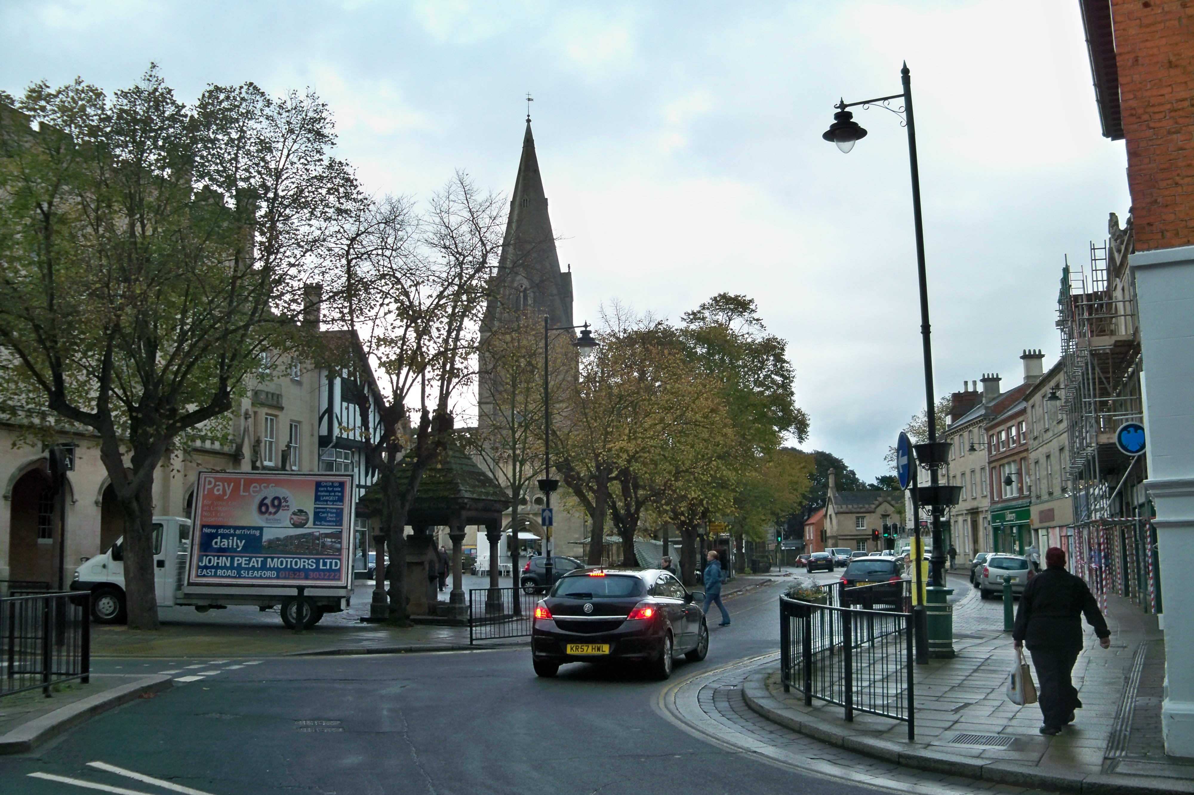
Navenby
Navenby is a village and civil parish in the North Kesteven district of Lincolnshire, England. Lying 8 miles (13 km) south from Lincoln and 9 miles (14...
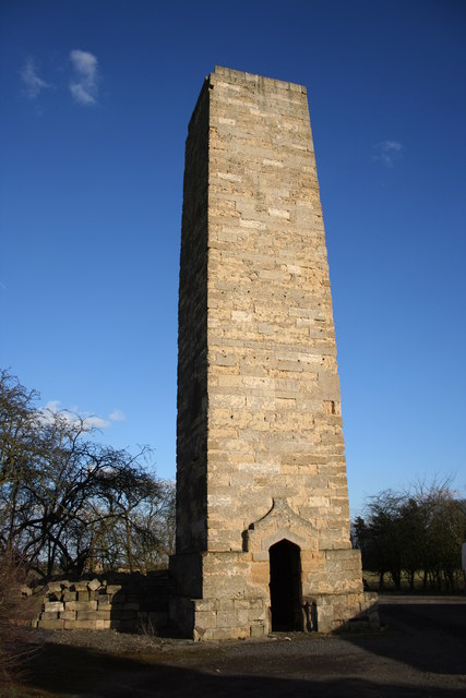
Dunston Pillar
Dunston Pillar is a Grade II listed stone tower in Lincolnshire, England and a former 'land lighthouse'. It stands beside the A15 road approximately 6...
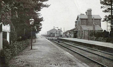
Navenby railway station
Navenby railway station was a railway station in Navenby, Lincolnshire on the Grantham and Lincoln railway line. The station closed for passengers in...
North Kesteven
North Kesteven is a local government district in Lincolnshire, England. The council is based in Sleaford. The district also contains the town of North...
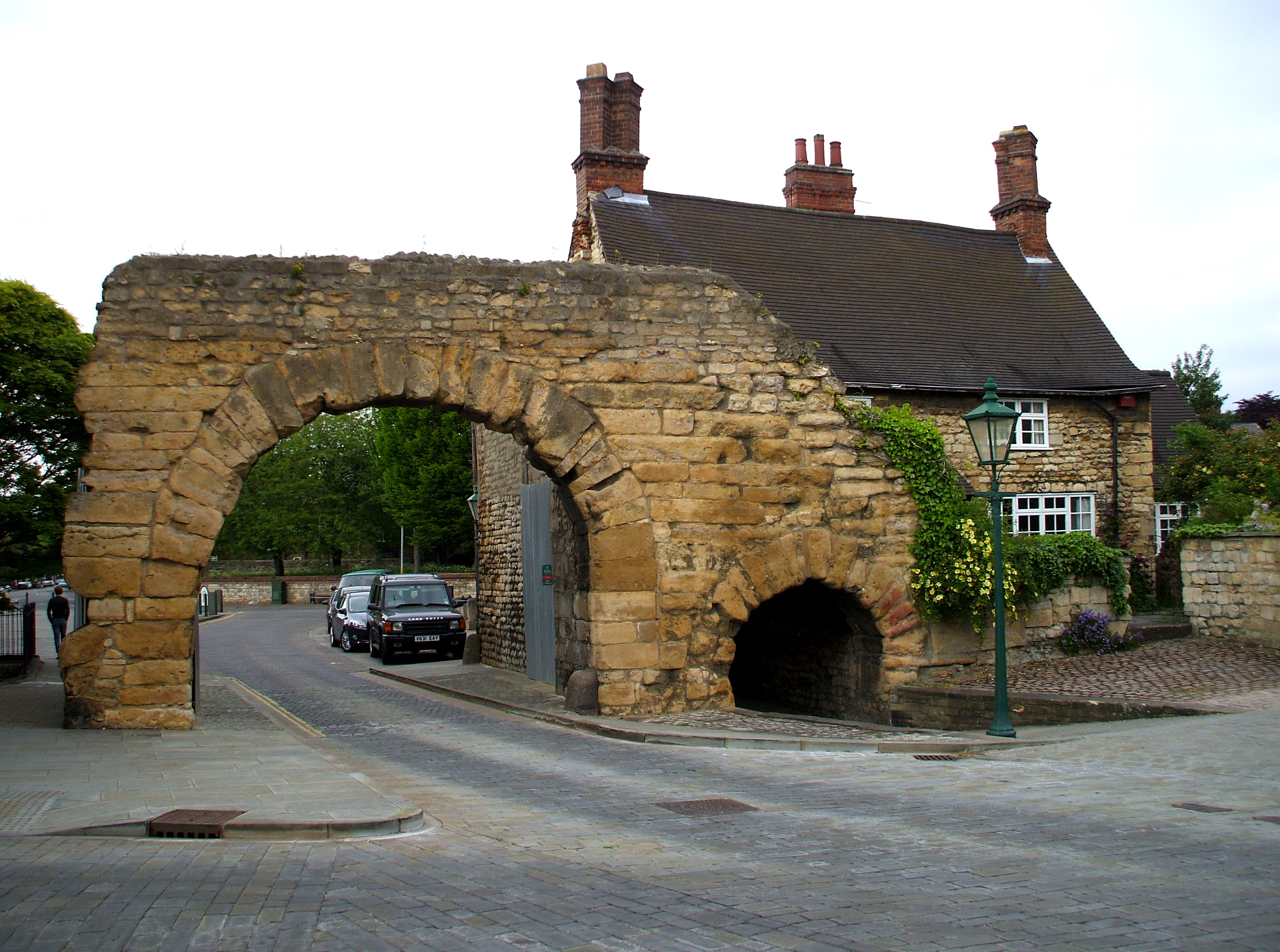
Ermine Street
Ermine Street is a major Roman road in England that ran from London (Londinium) to Lincoln (Lindum Colonia) and York (Eboracum). The Old English name...
Nearby Amenities
Located within 500m of 53.127174,-0.51607534Have you been to Boothby Graffoe Heath?
Leave your review of Boothby Graffoe Heath below (or comments, questions and feedback).