Ermine Street
Heritage Site in Lincolnshire North Kesteven
England
Ermine Street
Ermine Street in Lincolnshire, England, is a renowned heritage site that holds great historical significance. This ancient road, also known as the A15, stretches for approximately 144 miles, connecting the city of London to the city of Lincoln. Its origins can be traced back to the Roman period, when it was constructed as a major military and trade route.
Ermine Street served as a vital artery for the Roman Empire, facilitating the movement of troops, supplies, and commerce throughout the region. It was an important connection between the Roman cities of Londinium (London) and Lindum Colonia (Lincoln), as well as other settlements along the way. The road's construction exhibited remarkable engineering skills, featuring a solid foundation of gravel and stone.
Today, Ermine Street remains a testament to the Roman influence on the region. While some sections of the road have been altered or replaced over time, certain stretches still retain their original Roman structure. These remnants provide archaeologists and historians with valuable insights into the construction techniques and daily life during the Roman era.
Ermine Street in Lincolnshire attracts visitors who have a keen interest in history and archaeology. Exploring this heritage site allows visitors to walk in the footsteps of ancient Romans and gain a deeper understanding of their impact on the region. Additionally, the road passes through picturesque landscapes, offering visitors an opportunity to appreciate the natural beauty of Lincolnshire while delving into its rich historical past.
If you have any feedback on the listing, please let us know in the comments section below.
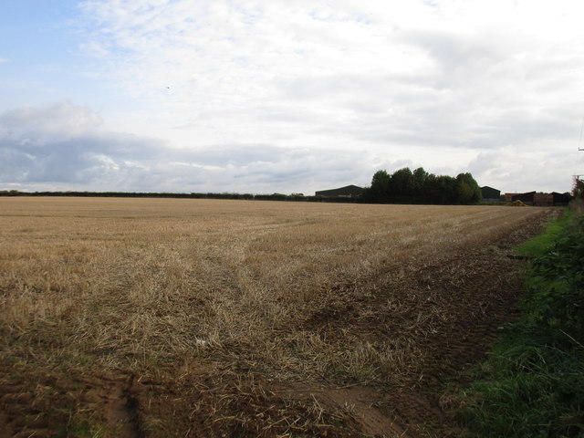
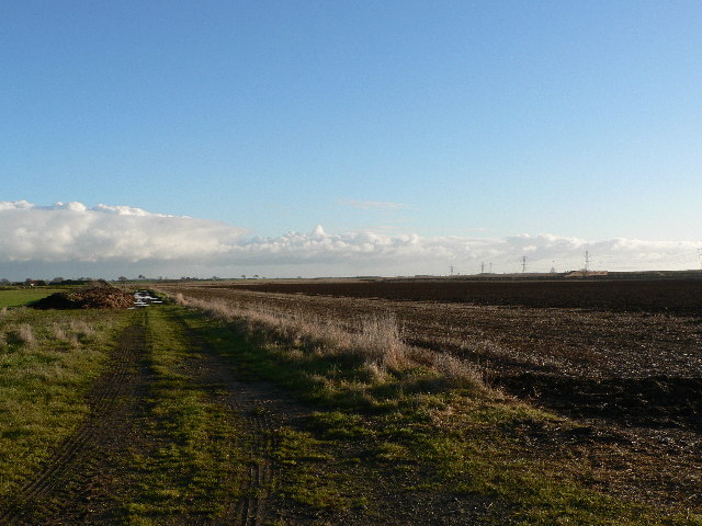
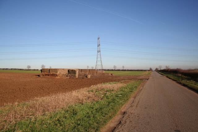
Ermine Street Images
Images are sourced within 2km of 53.123/-0.513 or Grid Reference SK9959. Thanks to Geograph Open Source API. All images are credited.


Ermine Street is located at Grid Ref: SK9959 (Lat: 53.123, Lng: -0.513)
Division: Parts of Kesteven
Administrative County: Lincolnshire
District: North Kesteven
Police Authority: Lincolnshire
What 3 Words
///coconut.consults.sprinkle. Near Navenby, Lincolnshire
Nearby Locations
Related Wikis

Boothby Graffoe
Boothby Graffoe is a village and civil parish in the North Kesteven district of Lincolnshire, England. The population of the civil parish at the 2011 census...
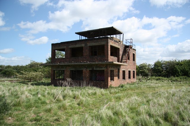
RAF Coleby Grange
Royal Air Force Coleby Grange or more simply RAF Coleby Grange was a Royal Air Force satellite station situated alongside the western edge of the A15 on...
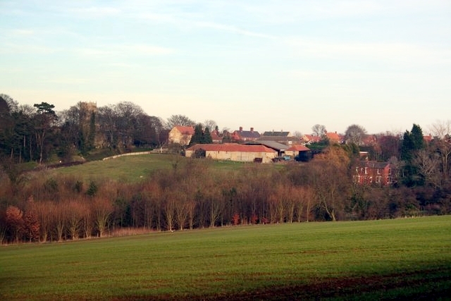
Navenby
Navenby is a village and civil parish in the North Kesteven district of Lincolnshire, England. Lying 8 miles (13 km) south from Lincoln and 9 miles (14...

Coleby, North Kesteven
Coleby is a village and civil parish in the North Kesteven district of Lincolnshire, England. It is situated on the A607, and approximately 6 miles (10...
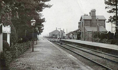
Navenby railway station
Navenby railway station was a railway station in Navenby, Lincolnshire on the Grantham and Lincoln railway line. The station closed for passengers in...
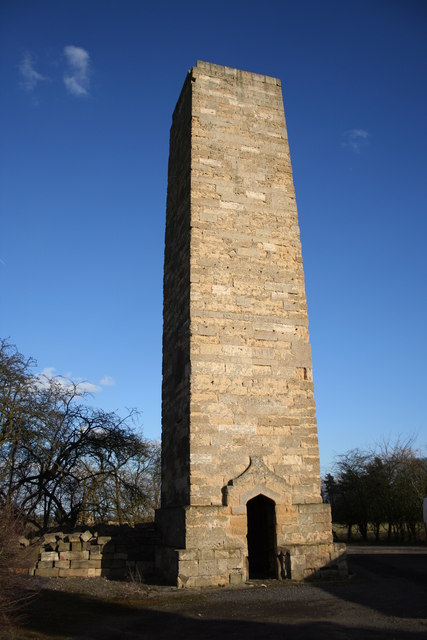
Dunston Pillar
Dunston Pillar is a Grade II listed stone tower in Lincolnshire, England and a former 'land lighthouse'. It stands beside the A15 road approximately 6...

Wellingore
Wellingore is a village and civil parish in the North Kesteven district of Lincolnshire, England. The population of the civil parish at the 2011 census...
North Kesteven
North Kesteven is a local government district in Lincolnshire, England. The council is based in Sleaford. The district also contains the town of North...
Nearby Amenities
Located within 500m of 53.123,-0.513Have you been to Ermine Street ?
Leave your review of Ermine Street below (or comments, questions and feedback).