Coleby Heath
Downs, Moorland in Lincolnshire North Kesteven
England
Coleby Heath

Coleby Heath is a small village located in the county of Lincolnshire, England. Situated in the district of North Kesteven, it is nestled amidst the picturesque landscape of the Lincolnshire Wolds, a designated Area of Outstanding Natural Beauty. The village is surrounded by rolling hills, lush meadows, and vast open spaces, offering a tranquil and idyllic setting.
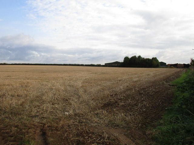
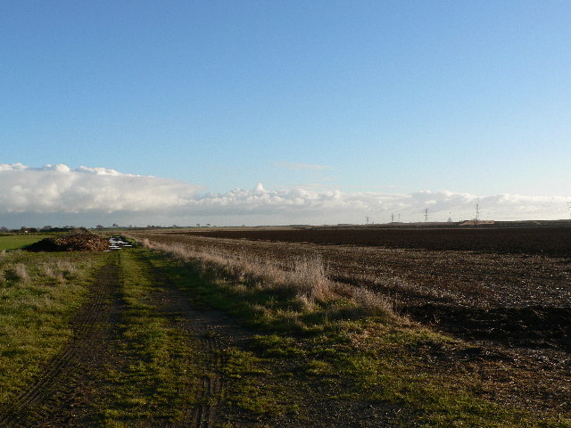
The village of Coleby Heath is characterized by its rural charm and unspoiled beauty. It is primarily known for its stunning downs and moorland, which provide a haven for wildlife and offer breathtaking views across the countryside. The area is home to a diverse range of flora and fauna, making it a popular destination for nature enthusiasts and walkers.
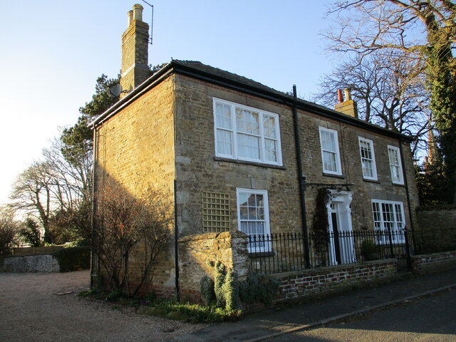
The village itself is small but vibrant, with a close-knit community that takes great pride in its surroundings. It boasts a few amenities, including a village hall and a local pub, which serves as a meeting point for residents and visitors alike. The village also hosts various community events throughout the year, fostering a strong sense of community spirit.
Coleby Heath is conveniently located within easy reach of nearby towns and cities, with Lincoln being approximately 8 miles to the north-east. This provides residents with access to a wider range of amenities, including shopping centers, schools, and healthcare facilities.
Overall, Coleby Heath offers a peaceful and scenic retreat for those seeking to embrace the natural beauty of the Lincolnshire Wolds, while still enjoying the convenience of nearby urban areas.
If you have any feedback on the listing, please let us know in the comments section below.
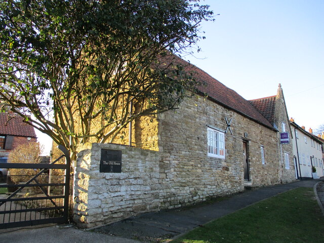
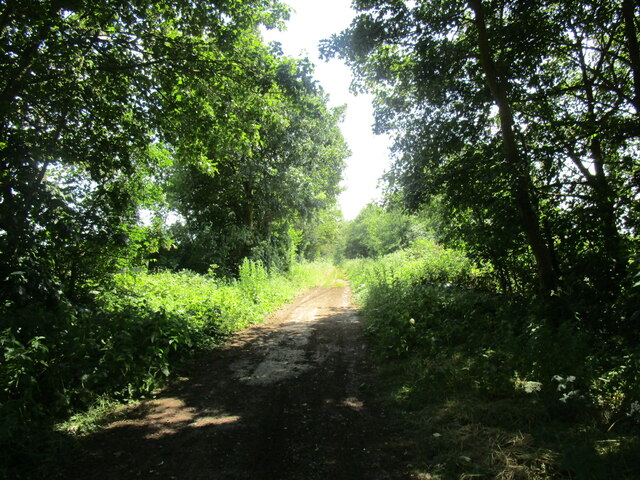
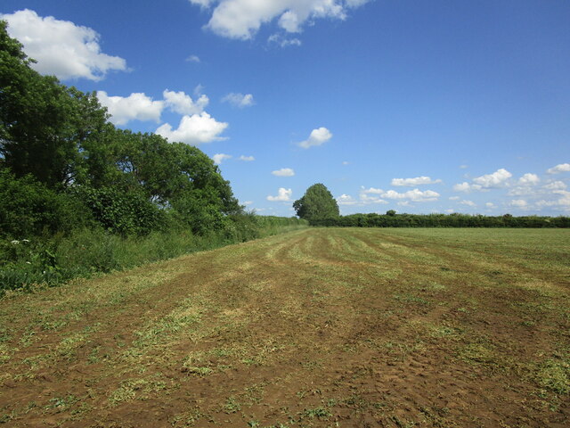
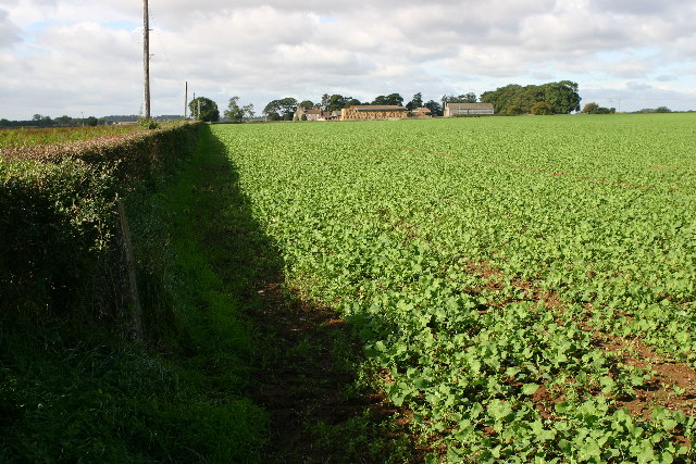
Coleby Heath Images
Images are sourced within 2km of 53.137819/-0.51549922 or Grid Reference SK9961. Thanks to Geograph Open Source API. All images are credited.


Coleby Heath is located at Grid Ref: SK9961 (Lat: 53.137819, Lng: -0.51549922)
Administrative County: Lincolnshire
District: North Kesteven
Police Authority: Lincolnshire
What 3 Words
///bulky.signature.cardinal. Near Waddington, Lincolnshire
Nearby Locations
Related Wikis
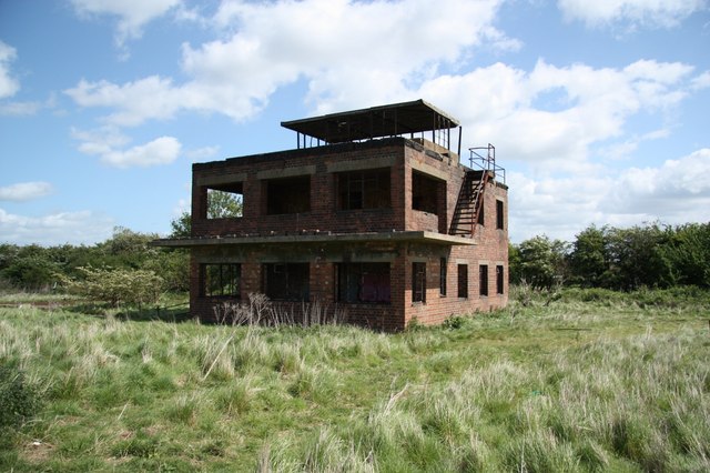
RAF Coleby Grange
Royal Air Force Coleby Grange or more simply RAF Coleby Grange was a Royal Air Force satellite station situated alongside the western edge of the A15 on...

Coleby, North Kesteven
Coleby is a village and civil parish in the North Kesteven district of Lincolnshire, England. It is situated on the A607, and approximately 6 miles (10...
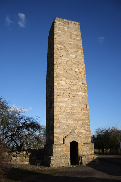
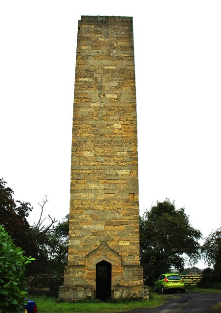
Dunston Pillar
Dunston Pillar is a Grade II listed stone tower in Lincolnshire, England and a former 'land lighthouse'. It stands beside the A15 road approximately 6...
North Kesteven
North Kesteven is a local government district in Lincolnshire, England. The council is based in Sleaford. The district also contains the town of North...

Boothby Graffoe
Boothby Graffoe is a village and civil parish in the North Kesteven district of Lincolnshire, England. The population of the civil parish at the 2011 census...
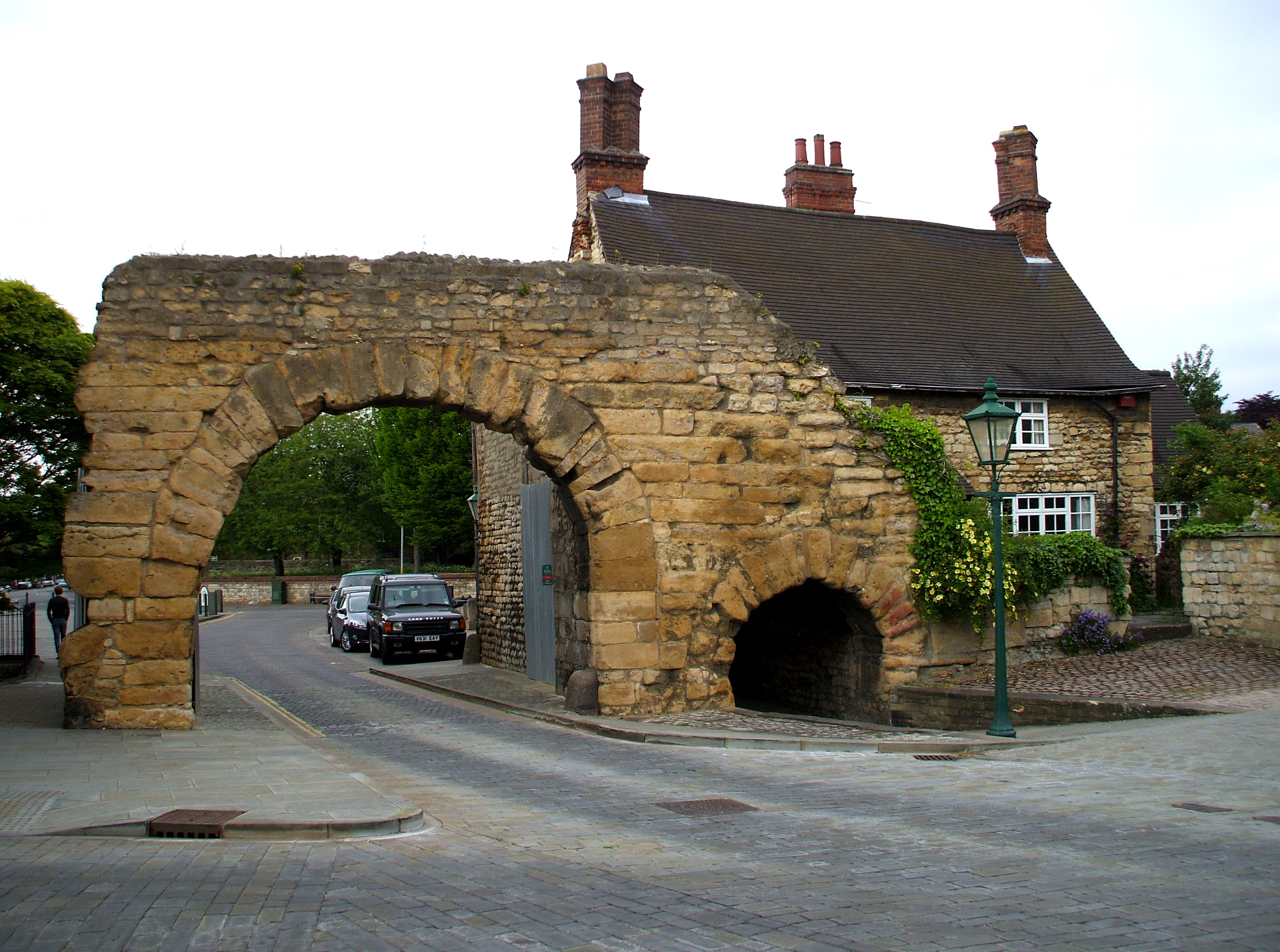
Ermine Street
Ermine Street is a major Roman road in England that ran from London (Londinium) to Lincoln (Lindum Colonia) and York (Eboracum). The Old English name...
Harmston
Harmston is a village and civil parish in the North Kesteven district of Lincolnshire, England. It is situated just west off the A607, and 5 miles (8 km...

North Kesteven Rural District
North Kesteven was a rural district in Kesteven, Lincolnshire from 1931 to 1974. It was created in 1931 under a County Review Order, and was formed from...
Nearby Amenities
Located within 500m of 53.137819,-0.51549922Have you been to Coleby Heath?
Leave your review of Coleby Heath below (or comments, questions and feedback).