Bonsall
Civil Parish in Derbyshire Derbyshire Dales
England
Bonsall

Bonsall is a small civil parish located in Derbyshire, England. Situated in the Peak District National Park, it is nestled in the heart of the Derbyshire Dales. With a population of around 800 residents, Bonsall offers a peaceful and picturesque setting for its inhabitants.
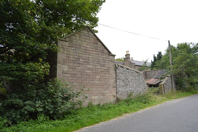
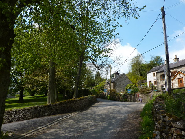
The village of Bonsall is known for its quaint charm and historic character. It boasts a rich history dating back to the Roman period, with evidence of settlements and mining activities in the area. The village is dotted with traditional limestone cottages, giving it a distinct architectural appeal.
One of the notable landmarks in Bonsall is the Bonsall Village Hall, which serves as a community hub for various events and activities. The village also has a primary school, providing education for the local children.
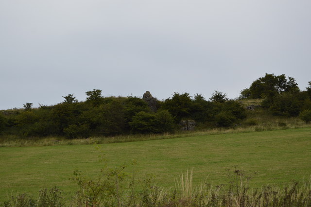
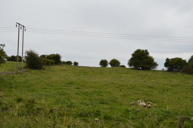
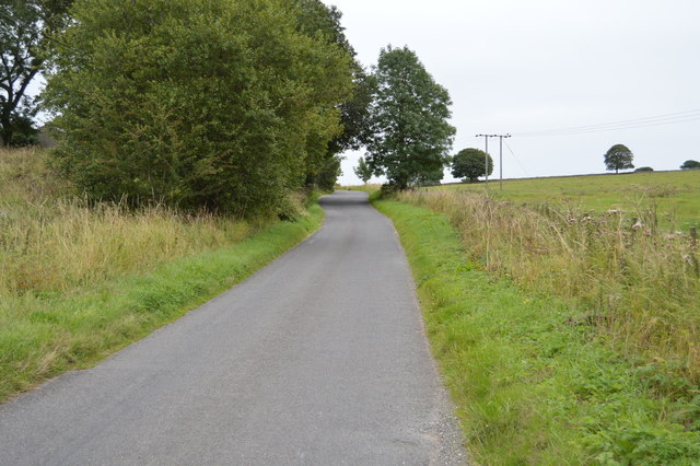
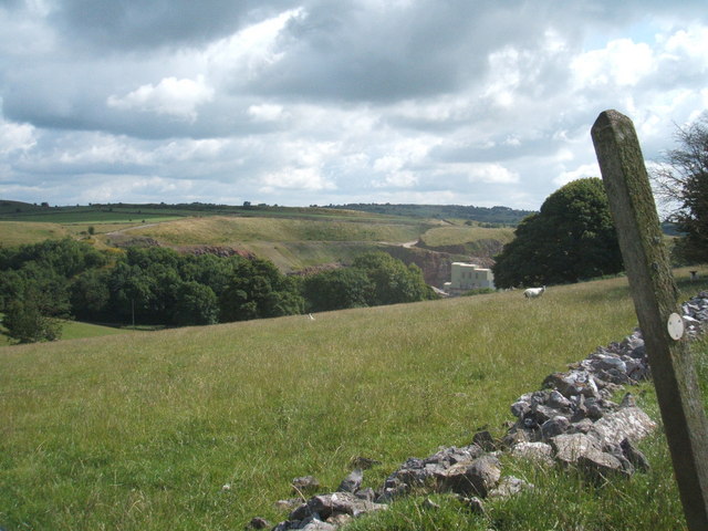
Nature enthusiasts are drawn to Bonsall due to its proximity to stunning natural landscapes. The surrounding countryside offers ample opportunities for hiking, cycling, and exploring the outdoors. The Limestone Way, a popular long-distance trail, passes through the village, attracting walkers from near and far.
Bonsall is home to a close-knit community, with several local groups and clubs fostering a sense of camaraderie among the residents. The village hosts various social events throughout the year, including an annual well-dressing ceremony, which celebrates the village's heritage.
In summary, Bonsall is a charming and historic village set amidst the idyllic landscapes of the Derbyshire Dales. With its rich history, beautiful architecture, and strong sense of community, Bonsall offers a tranquil and welcoming environment for its residents and visitors alike.
If you have any feedback on the listing, please let us know in the comments section below.
Bonsall Images
Images are sourced within 2km of 53.121487/-1.612264 or Grid Reference SK2658. Thanks to Geograph Open Source API. All images are credited.


Bonsall is located at Grid Ref: SK2658 (Lat: 53.121487, Lng: -1.612264)
Administrative County: Derbyshire
District: Derbyshire Dales
Police Authority: Derbyshire
What 3 Words
///butlers.wizard.video. Near Cromford, Derbyshire
Nearby Locations
Related Wikis

Beans and Bacon mine
The Beans and Bacon mine is a disused lead mine on Bonsall Moor near the village of Bonsall, Derbyshire, United Kingdom. The nearest large town is Matlock...
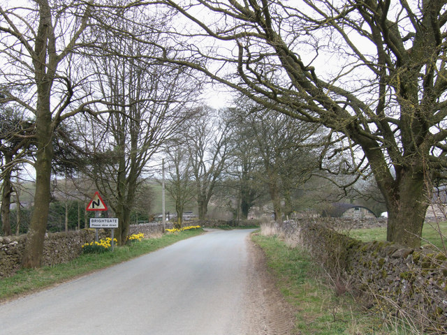
Brightgate
Brightgate is a village in Derbyshire, England. The population is recorded in the civil parish of Bonsall, Derbyshire. == References ==
Slaley, Derbyshire
Slaley is a hamlet in the civil parish of Bonsall, in the Derbyshire Dales district, in the county of Derbyshire, England. The hamlet is located to the...

Ible
Ible (pronounced 'eyebull', or 'ib-ull') is a hamlet in Derbyshire, England, just within the Peak District National Park.It is near the Via Gellia valley...
Ivonbrook Grange
Ivonbrook Grange is a civil parish within the Derbyshire Dales district, in the county of Derbyshire, England. Largely rural, Ivonbrook Grange's population...

Grangemill
Grangemill is a village in the English county of Derbyshire. The hamlet is made up of a cluster of houses, a farm and a pub called the Hollybush. There...

Bonsall, Derbyshire
Bonsall is a village and civil parish in the Derbyshire Dales on the edge of the Peak District. The civil parish population, including Brightgate and Horse...
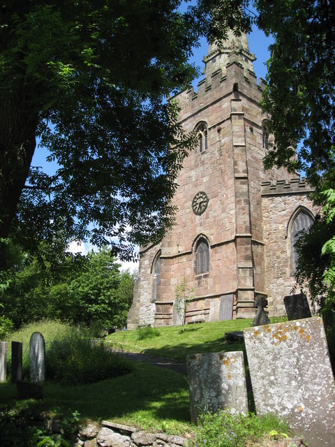
St James the Apostle's Church, Bonsall
St James the Apostle's Church, Bonsall is a Grade II* listed parish church in the Church of England: 101 in Bonsall, Derbyshire. == History == The church...
Nearby Amenities
Located within 500m of 53.121487,-1.612264Have you been to Bonsall?
Leave your review of Bonsall below (or comments, questions and feedback).