Blackwell
Civil Parish in Derbyshire Bolsover
England
Blackwell
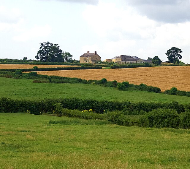
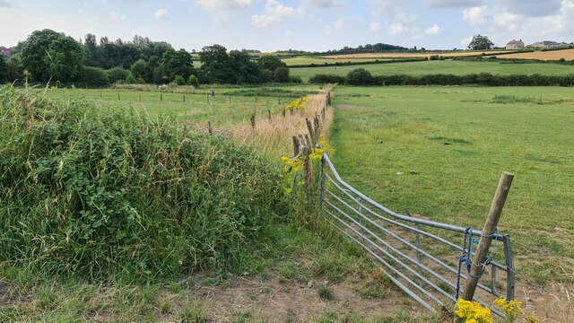
Blackwell is a civil parish located in the district of Derbyshire, England. Situated around three miles southeast of the town of Alfreton, Blackwell is a small village with a population of approximately 1,500 residents. The parish covers an area of about 2.5 square miles and is surrounded by picturesque countryside.
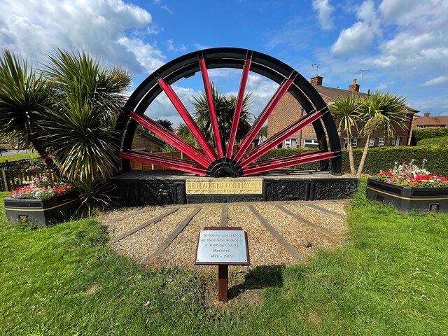
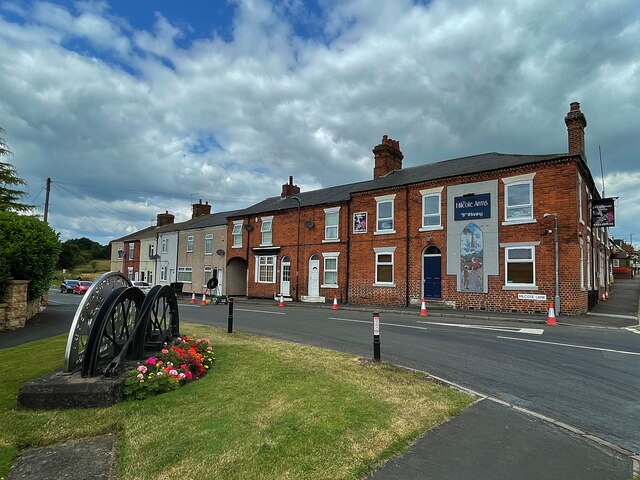
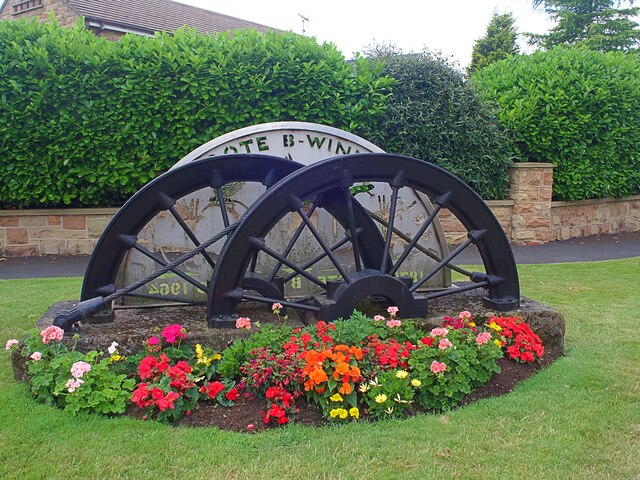
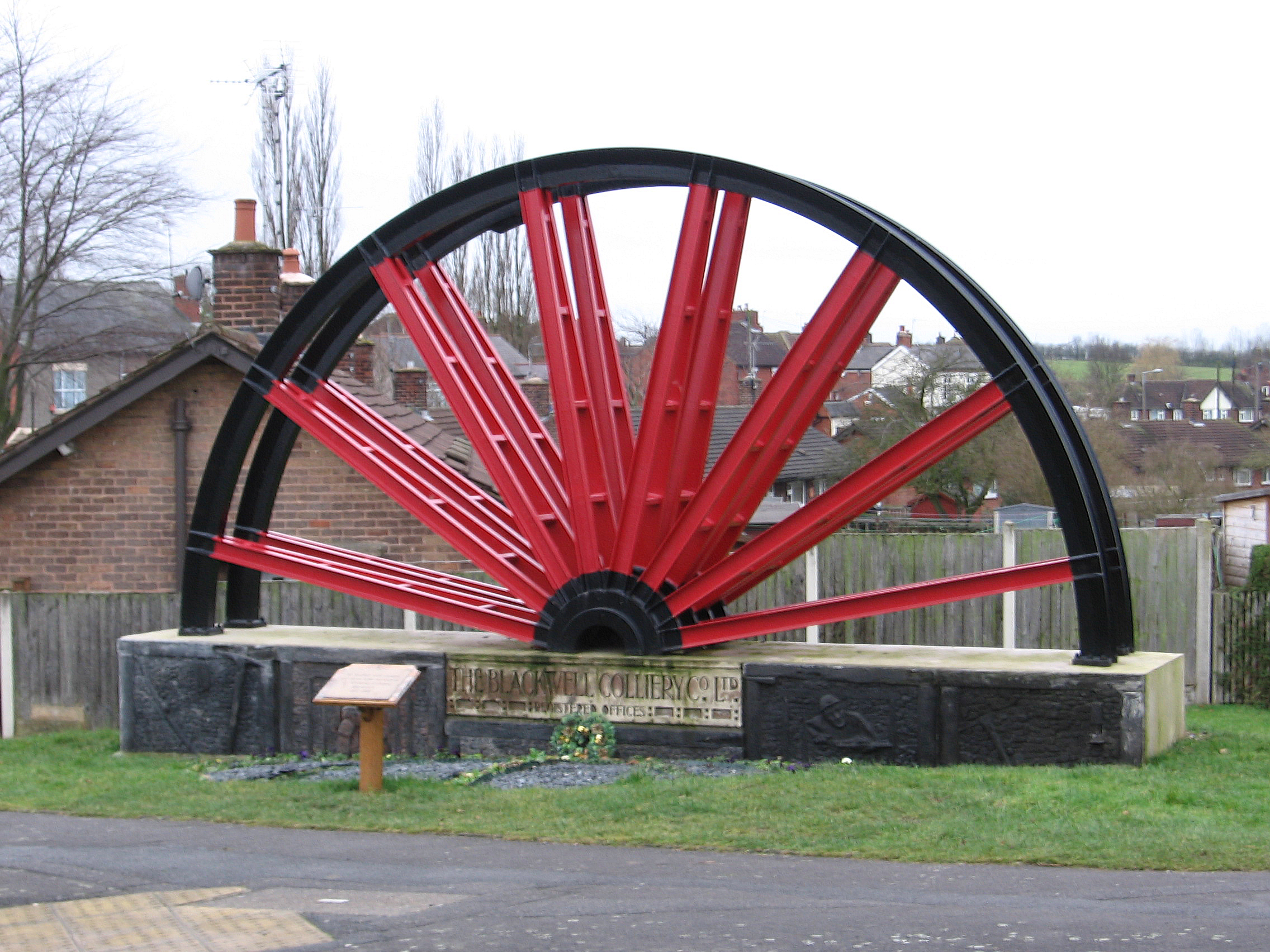
Blackwell has a rich history dating back to the medieval period. The village is mentioned in the Domesday Book of 1086 and was known for its coal mining industry during the 19th and early 20th centuries. Many of the houses in the village were built to accommodate the miners and their families, and some of these historic buildings can still be seen today.
The village boasts a range of amenities for its residents. There is a primary school, a community center, and a local convenience store. Additionally, Blackwell has a number of sports facilities, including a cricket pitch and a football field, which are used by local sports teams and clubs.
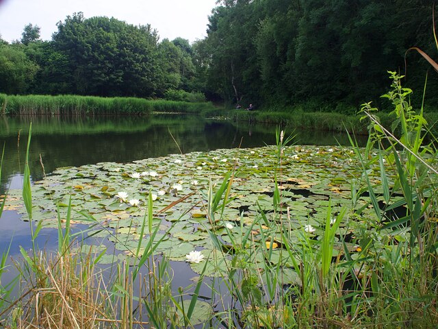
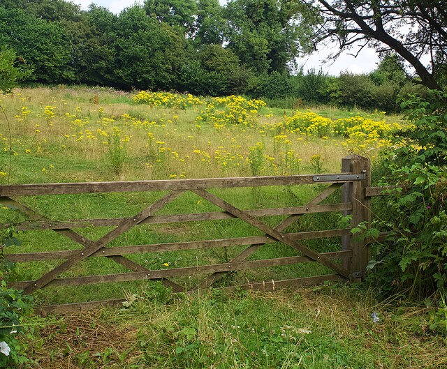
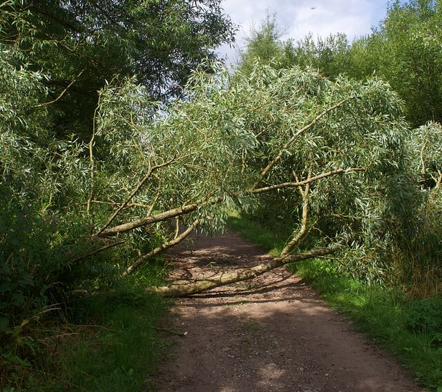
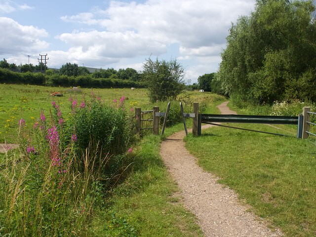
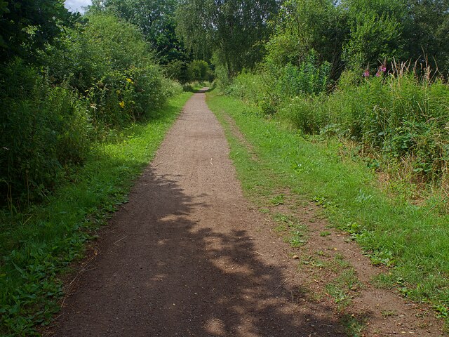
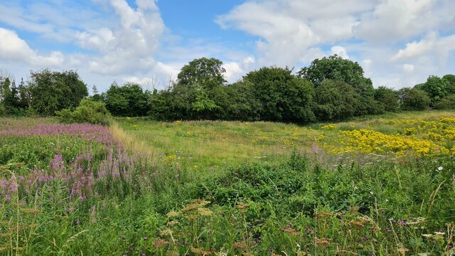
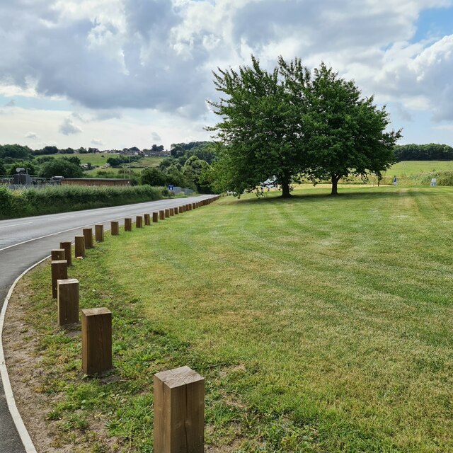
The surrounding area offers plenty of opportunities for outdoor activities. Blackwell is close to the beautiful Derbyshire Dales and Peak District National Park, providing residents with access to stunning landscapes, hiking trails, and cycling routes.
Overall, Blackwell is a charming village with a close-knit community and a rich history. Its proximity to natural beauty and range of amenities make it an attractive place to live for those seeking a tranquil countryside lifestyle.
If you have any feedback on the listing, please let us know in the comments section below.
Blackwell Images
Images are sourced within 2km of 53.122835/-1.340358 or Grid Reference SK4458. Thanks to Geograph Open Source API. All images are credited.
Blackwell is located at Grid Ref: SK4458 (Lat: 53.122835, Lng: -1.340358)
Administrative County: Derbyshire
District: Bolsover
Police Authority: Derbyshire
What 3 Words
///jobs.royal.card. Near Blackwell, Derbyshire
Nearby Locations
Related Wikis

Newton, Derbyshire
Newton is a village in the Bolsover district of Derbyshire, England, about a mile south of Tibshelf. Population details are included in the civil parish...

Miners Welfare Ground
The Miners Welfare Ground is a cricket ground in Blackwell, England that Derbyshire CCC used between 1909 and 1913. The ground hosted 7 first-class matches...
Blackwell, Bolsover
Blackwell is a village in Derbyshire, England. The population of the civil parish at the 2011 census was 4,389. It is one of the four villages that make...

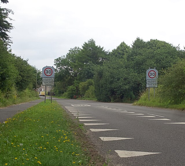
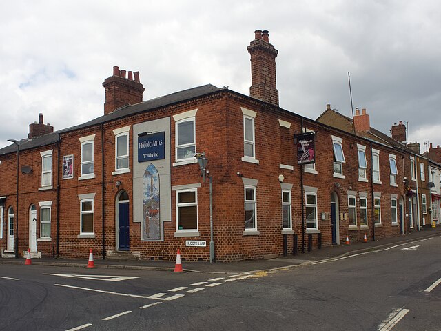
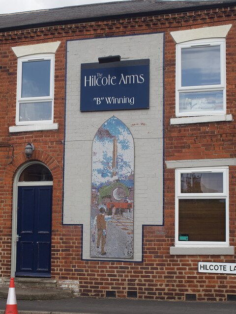
Hilcote
Hilcote is a small village in the south of the Bolsover district in Derbyshire, England, located close to the A38 junction with the M1 (Junction 28). The...

Tibshelf & Newton railway station
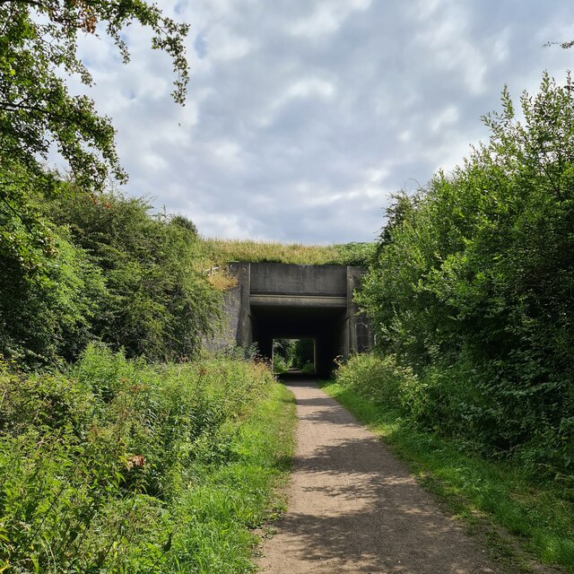
Tibshelf & Newton railway station was on the Midland Railway's line from Westhouses in Derbyshire to Mansfield Woodhouse. The line opened in 1883, following...

Tibshelf services
Tibshelf services, opened in 1999, is a motorway service area operated by Roadchef between junctions 28 and 29 of the M1 motorway in Derbyshire, England...

South Normanton
South Normanton is a village and civil parish in the Bolsover District of Derbyshire, England. The population at the 2011 Census was 9,445. An ex-mining...
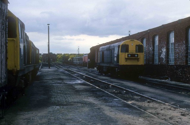
Westhouses Locomotive Depot
Westhouses Locomotive Depot was a traction maintenance depot located in Westhouses, Derbyshire, England. The depot's TOPS code was WT. == History == From...
Nearby Amenities
Located within 500m of 53.122835,-1.340358Have you been to Blackwell?
Leave your review of Blackwell below (or comments, questions and feedback).