Blackwell in the Peak
Civil Parish in Derbyshire Derbyshire Dales
England
Blackwell in the Peak

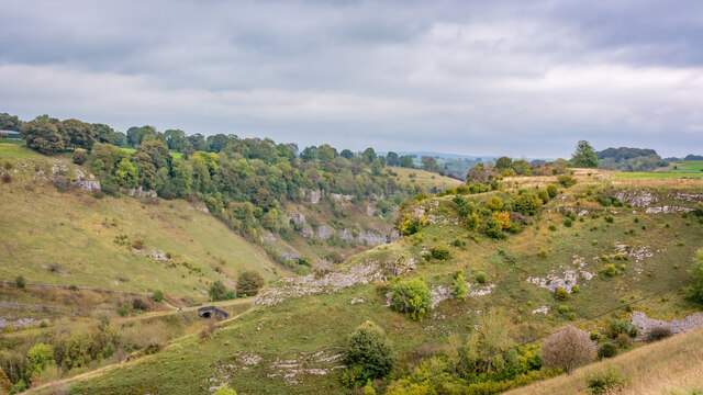
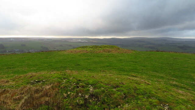
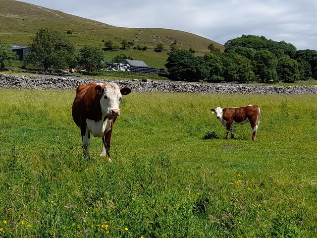
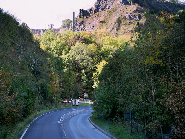
Blackwell is a civil parish located in the Peak District of Derbyshire, England. It is situated near the town of Buxton and lies within the High Peak district. The village is nestled in a picturesque area known for its natural beauty, with rolling hills, stunning landscapes, and breathtaking views.
The village of Blackwell is small and has a population of around 200 people. It is characterized by its charming stone cottages and traditional English architecture. The village is surrounded by farmland and open countryside, making it an ideal destination for those seeking a peaceful and tranquil atmosphere.
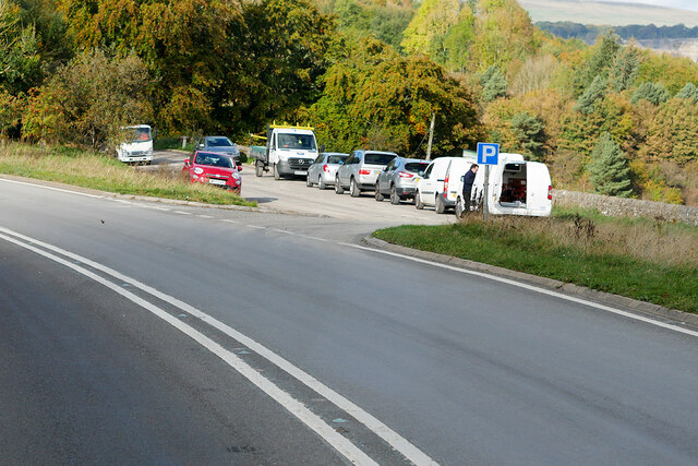
Blackwell is also home to the famous Blackwell Mill Cycle Hire, which attracts visitors from all over the country. The cycle hire offers a range of bicycles for rent, allowing tourists and locals alike to explore the stunning Peak District National Park on two wheels. The area is renowned for its cycling trails and offers a variety of routes suitable for all abilities.
In addition to its natural beauty and outdoor activities, Blackwell is also home to a community hall, which hosts various events and gatherings throughout the year. The village has a strong sense of community, with residents actively participating in local initiatives and organizations.
Overall, Blackwell in the Peak, Derbyshire, offers a serene and idyllic rural setting, perfect for those looking to escape the hustle and bustle of city life and immerse themselves in the beauty of the Peak District.
If you have any feedback on the listing, please let us know in the comments section below.
Blackwell in the Peak Images
Images are sourced within 2km of 53.245933/-1.846406 or Grid Reference SK1072. Thanks to Geograph Open Source API. All images are credited.


Blackwell in the Peak is located at Grid Ref: SK1072 (Lat: 53.245933, Lng: -1.846406)
Administrative County: Derbyshire
District: Derbyshire Dales
Police Authority: Derbyshire
What 3 Words
///stiffly.sake.delved. Near Buxton, Derbyshire
Nearby Locations
Related Wikis

King Sterndale
King Sterndale is a village and civil parish in Derbyshire, England. It is located in the Peak District, 4 miles east of Buxton. It has a population of...

Wye Valley, Derbyshire
The Wye Valley is the limestone valley of the River Wye in the White Peak of Derbyshire, England. The source of the River Wye is west of Buxton on Axe...
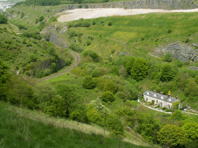
Blackwell Mill
Blackwell Mill is a location in Derbyshire, near to the village of Blackwell near Buxton, but not part of it. There was once a corn mill on the River Wye...

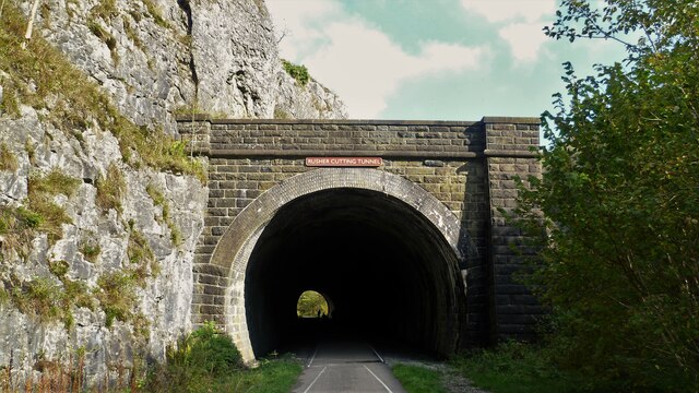
Chee Dale Halt railway station
Chee Dale Halt railway station was a timber-built railway halt located on the Peak Forest Junction to Buxton Junction spur of a triangle of the former...

Green Fairfield
Green Fairfield (Old English Green, beautiful open-land). is a civil parish in Derbyshire, England. The population of the civil parish (including Tunstead...

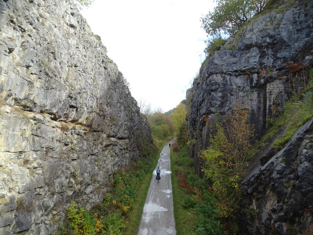
Deep Dale
Deep Dale is a short steep-sided gorge near Buxton, Derbyshire, in the Peak District of England. It is distinct from another Deep Dale, near Sheldon, 4...

Calton Hill, Derbyshire
Calton Hill is a Site of Special Scientific Interest in Derbyshire, England, showing Olivine Diorite magma chamber.It is the site of an extinct volcano...
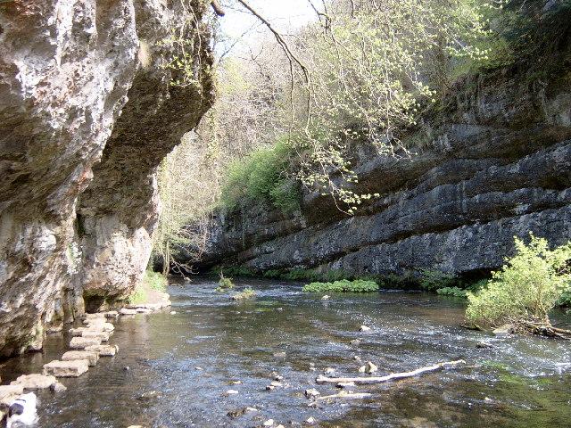
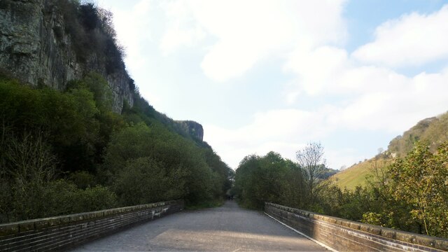
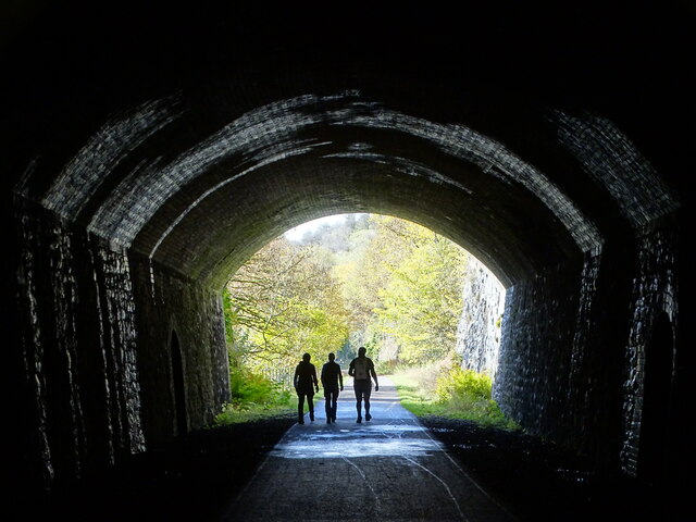
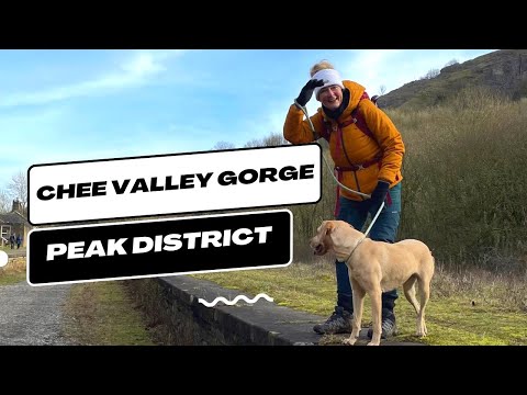
Chee Dale
Chee Dale is a steep-sided gorge on the River Wye near Buxton, Derbyshire, in the Peak District of England. The Wye valley continues upstream towards Buxton...
Related Videos

Hiking Trails UK : Chee Dale's Famous Stepping Stones | Peak District
Embark on a breathtaking Hiking Trails uk journey through the picturesque landscapes of the Peak District as we explore the ...
Chee Dale Stepping Stones - Peak District #peakdistrict #hiking
Chee Dale Stepping Stones - Peak District #shorts #peakdistrict #hiking You'll love Chee Dale Stepping Stones, a thrilling ...
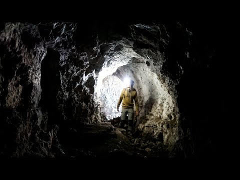
Hiking to Hidden Caves in The Wye Valley, UK | Lejog Training Ep.25
In this hiking vlog I hike to hidden caves found in a beautiful part of the UK boarding Wales and England called The Wye Valley.

Symonds Yat Hike, Wye Valley #travel #symondsyat #hiking #cotswoldsengland #countryside
Exploring the Wye Valley and the beautiful look out point at Symonds Yat.
Nearby Amenities
Located within 500m of 53.245933,-1.846406Have you been to Blackwell in the Peak?
Leave your review of Blackwell in the Peak below (or comments, questions and feedback).