Hilcote

Settlement in Derbyshire Bolsover

England

Hilcote

Unusual fence at the H W Martin depot Posts but no rails
Unusual fence at the H W Martin depot Credit: Graham Hogg

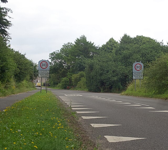
Hilcote is a small village located in the county of Derbyshire, England. It lies within the Bolsover district and is situated approximately 4 miles south of the town of Alfreton. The village is nestled in a rural setting, surrounded by picturesque countryside and rolling hills.

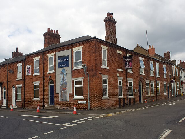
The origins of Hilcote can be traced back to medieval times, and it is mentioned in the Domesday Book of 1086. Over the years, it has grown into a close-knit community with a population of around 1,000 residents. The village retains much of its traditional charm, with a mix of historic buildings and modern developments.

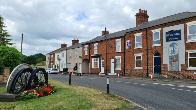
Hilcote is well-served by local amenities, including a primary school, a church, and a village hall. The nearby town of Alfreton provides additional facilities and services, such as shops, supermarkets, and a leisure center. The village benefits from good transport links, with easy access to the A38 road, connecting it to nearby towns and cities.

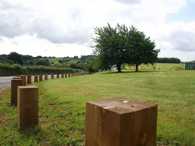
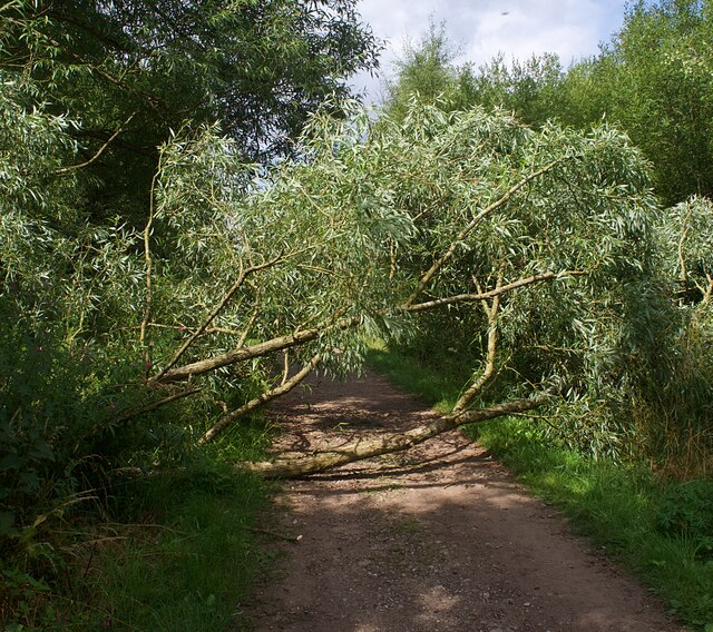
The surrounding countryside offers plenty of opportunities for outdoor activities, including walking, hiking, and cycling. The nearby Sherwood Forest and Peak District National Park are popular destinations for nature lovers and adventure enthusiasts.

Overall, Hilcote offers a peaceful and idyllic setting for residents and visitors alike, with its rich history, scenic landscapes, and a strong sense of community spirit.

If you have any feedback on the listing, please let us know in the comments section below.
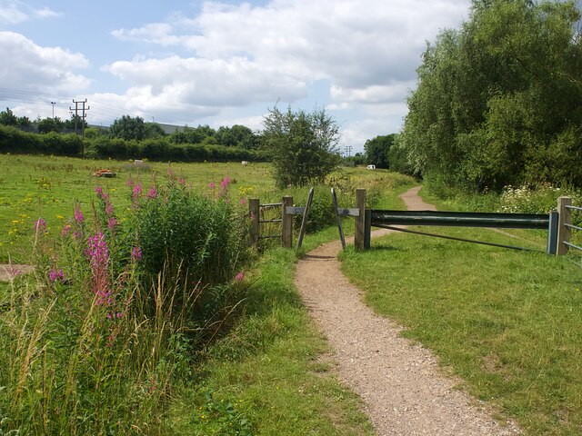
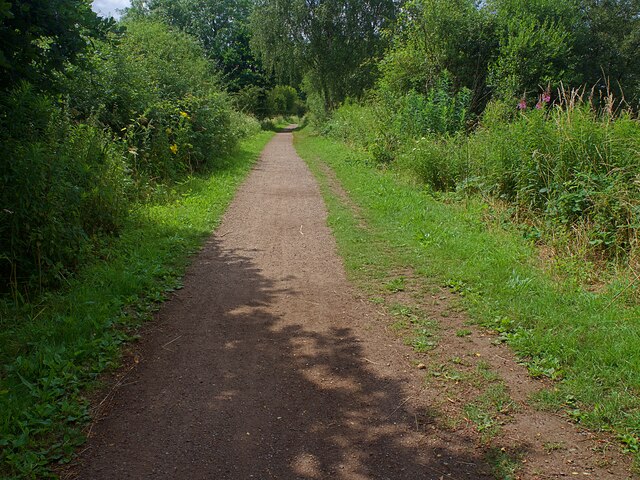
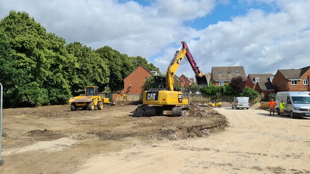
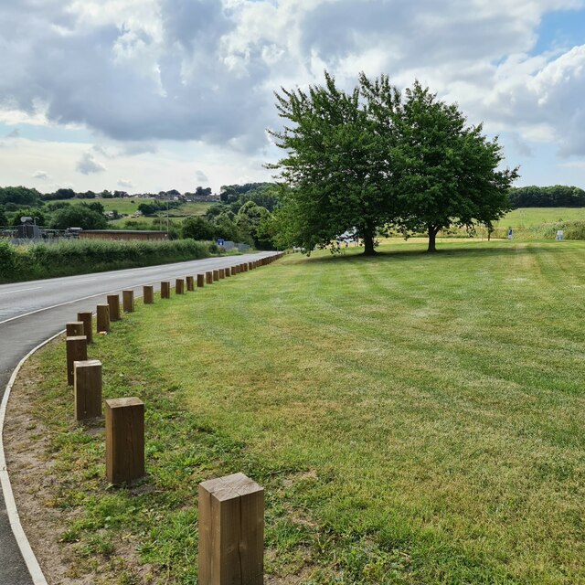
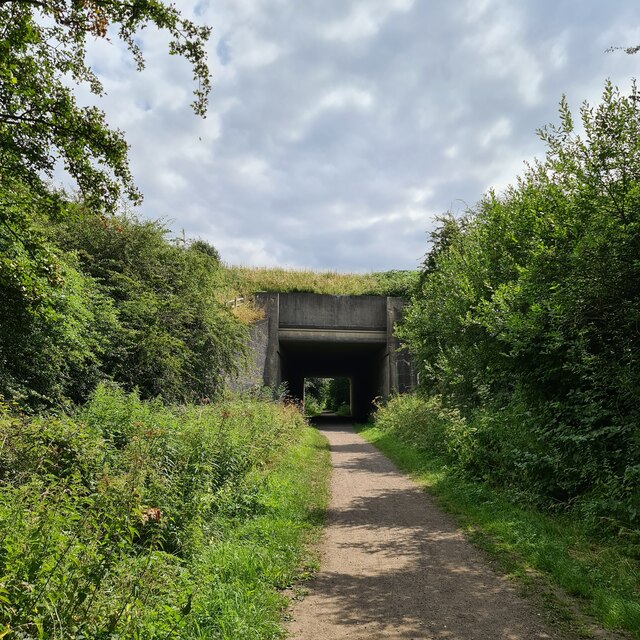
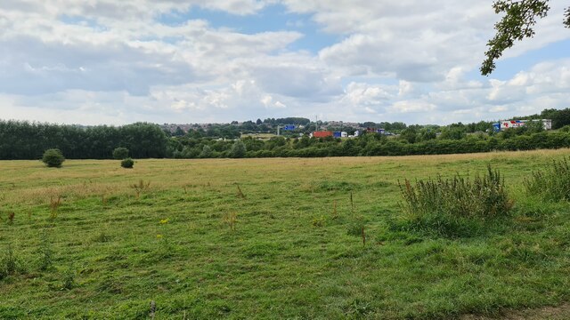
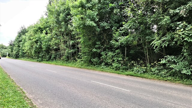
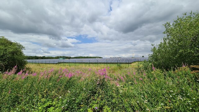
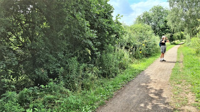
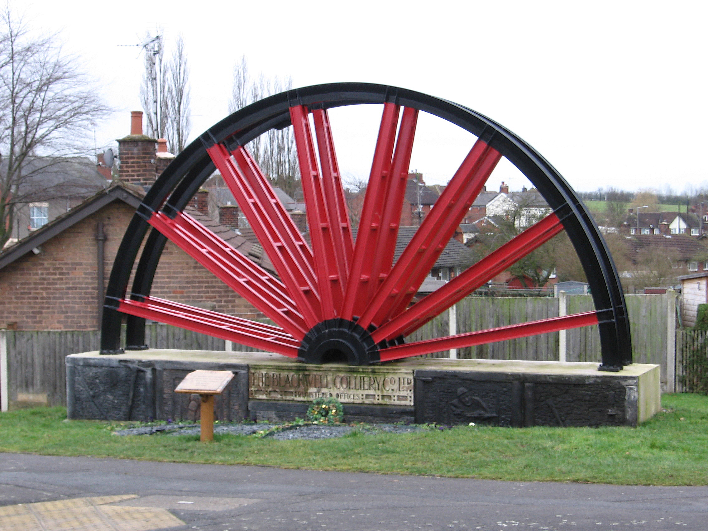
Hilcote Images

Images are sourced within 2km of 53.117555/-1.331788 or Grid Reference SK4458. Thanks to Geograph Open Source API. All images are credited.

Unusual fence at the H W Martin depot Posts but no rails
Unusual fence at the H W Martin depot
Posts but no rails
Fallen willow tree Obstructing the Blackwell Trail, an otherwise easy going trail on the line of a former colliery railway.
Fallen willow tree
Obstructing the Blackwell Trail, an otherwise easy going trail on the line of a former colliery railway.
Speed limit signs and road markings On the western approach to Hilcote village
Speed limit signs and road markings
On the western approach to Hilcote village
The Hilcote Arms 'B' Winning 'B' Winning refers to the local colliery which closed in 1964. See also <a href="https://www.geograph.org.uk/photo/6913919">SK4558 : Winding wheel from Blackwell Colliery</a>.
The Hilcote Arms 'B' Winning
'B' Winning refers to the local colliery which closed in 1964. See also SK4558 : Winding wheel from Blackwell Colliery.
Mural on the Hilcote Arms This mosaic would seem to be a recent addition <a href="https://www.geograph.org.uk/photo/3407794">SK4558 : Hilcote - mining memorial and Hilcote Arms</a>
Mural on the Hilcote Arms
This mosaic would seem to be a recent addition SK4558 : Hilcote - mining memorial and Hilcote Arms
Winding wheel from Blackwell Colliery The sign reads 'To honour and respect all those who worked at 'A' Winning Colliery, Blackwell 1871-1969
Winding wheel from Blackwell Colliery
The sign reads 'To honour and respect all those who worked at 'A' Winning Colliery, Blackwell 1871-1969
Winding wheel from Blackwell Colliery From the Hilcote 'B' Winning Colliery, 1874-1964. Across the road is the Hilcote Arms which also remembers the 'B' Winning colliery.
Winding wheel from Blackwell Colliery
From the Hilcote 'B' Winning Colliery, 1874-1964. Across the road is the Hilcote Arms which also remembers the 'B' Winning colliery.
Winding wheel from Blackwell Colliery From the Hilcote 'B' Winning Colliery, 1874-1964. Across the road is the Hilcote Arms which also remembers the 'B' Winning colliery <a href="https://www.geograph.org.uk/photo/6913909">SK4558 : The Hilcote Arms 'B' Winning</a>.
Winding wheel from Blackwell Colliery
From the Hilcote 'B' Winning Colliery, 1874-1964. Across the road is the Hilcote Arms which also remembers the 'B' Winning colliery SK4558 : The Hilcote Arms 'B' Winning.
Barrier on the Blackwell Trail An easy going trail on the line of a former colliery railway
Barrier on the Blackwell Trail
An easy going trail on the line of a former colliery railway
The Blackwell Trail  An easy going trail on the line of a former colliery railway.
The Blackwell Trail
An easy going trail on the line of a former colliery railway.
Development site, Blackwell
Boundary post fence at H W Martin's depot Keep off the grass!
Boundary post fence at H W Martin's depot
Keep off the grass!
Under the M1
Under the M1
The M1 is heard as well as seen
Spot the path Amidst the trees
Spot the path
Amidst the trees
Hilcote Arms, Hilcote Steeped in coal mining memories
Hilcote Arms, Hilcote
Steeped in coal mining memories
Solar farm near Hilcote
On the Blackwell Trail
Show me another place!

Hilcote is located at Grid Ref: SK4458 (Lat: 53.117555, Lng: -1.331788)

Administrative County: Derbyshire

District: Bolsover

Police Authority: Derbyshire

What 3 Words

///suspends.corner.clattered. Near Blackwell, Derbyshire

Related Wikis

Hilcote

Hilcote is a small village in the south of the Bolsover district in Derbyshire, England, located close to the A38 junction with the M1 (Junction 28). The...

Miners Welfare Ground

The Miners Welfare Ground is a cricket ground in Blackwell, England that Derbyshire CCC used between 1909 and 1913. The ground hosted 7 first-class matches...

South Normanton

South Normanton is a village and civil parish in the Bolsover District of Derbyshire, England. The population at the 2011 Census was 9,445. An ex-mining...

Blackwell, Bolsover

Blackwell is a village in Derbyshire, England. The population of the civil parish at the 2011 census was 4,389. It is one of the four villages that make...

Newton, Derbyshire

Newton is a village in the Bolsover district of Derbyshire, England, about a mile south of Tibshelf. Population details are included in the civil parish...

South Normanton F.C.

South Normanton Football Club was a football club based in South Normanton, Derbyshire. == History == The club was formed as a feeder club of South Normanton...

South Normanton Athletic F.C.

South Normanton Athletic Football Club is a football club based in South Normanton, near Alfreton, Derbyshire, England. They play at Lees Lane. == History... ==

Frederick Gent School

The Frederick Gent Comprehensive School is a co-educational secondary school located on Mansfield Road (B6019) in South Normanton in the Bolsover district...

Nearby Amenities

Located within 500m of 53.117555,-1.331788
Hilcote
Is In: Derbyshire, England, UK
Place: village
Lat/Long: 53.1174122/-1.3275397
Bench
Created By: Potlatch 0.10f
Lat/Long: 53.1157257/-1.3259083
Barrier: cycle_barrier
Lat/Long: 53.1157042/-1.3251026
Barrier: stile
Step Count: 16
Steps: 2
Stile: stepover
Lat/Long: 53.1155765/-1.3385163
Bus Stop
Bus: yes
Public Transport: platform
Lat/Long: 53.118638/-1.337437
Bench
Created By: Potlatch 0.10f
Lat/Long: 53.1188142/-1.3373581
Barrier: stile
Steps: 2
Stile: stepover
Lat/Long: 53.1189223/-1.3374611
Telephone
Defibrillator
Booth: K6
Covered: booth
Defibrillator Location: inside red phone box
Emergency: defibrillator
Man Made: telephone_box
Lat/Long: 53.1186153/-1.3266037
Post Box
Brand: Royal Mail
Brand Wikidata: Q638098
Brand Wikipedia: en:Royal Mail
Operator: Royal Mail
Operator Wikidata: Q638098
Post Box Type: wall
Ref: DE55 403
Royal Cypher: GVIR
Royal Cypher Wikidata: Q33102169
Lat/Long: 53.118427/-1.3267372
Disused Amenity: post_office
Old Name: Hilcote Post Office
Lat/Long: 53.1184058/-1.3267717
Bus Stop
Bus: yes
Public Transport: platform
Lat/Long: 53.1164066/-1.326398
Bus Stop
Bus: yes
Public Transport: platform
Lat/Long: 53.116399/-1.3265324
Barrier: kissing_gate
Lat/Long: 53.1146523/-1.3300265
Bus Stop
Bus: yes
Naptan AtcoCode: 1000DHHL6268
Naptan NaptanCode: dbsgagdj
Public Transport: platform
Lat/Long: 53.1179903/-1.3277825
Bench
Lat/Long: 53.1181676/-1.3295444
Bus Stop
Bus: yes
Public Transport: platform
Lat/Long: 53.1180546/-1.3277825
Barrier: kissing_gate
Lat/Long: 53.117956/-1.3318455
Pub
Hilcote Arms
Ele: 113
Note: Reopened on 22/4/2012, then shut again. Reopened end March 2017
Note2: Kitchen was being done up; not sure if they are serving food yet.
Old Name: Hilcote Arms B Winning
Outdoor Seating: yes
Real Ale: 3 from local breweries
Lat/Long: 53.1181557/-1.3267619
Bench
Ele: 88
Lat/Long: 53.1146522/-1.3291027
Ele: 88
Lat/Long: 53.114781/-1.3288667
Bench
Ele: 98.0000000
Lat/Long: 53.1153646/-1.3255673
Kaydor Signs
Ele: 107
Shop: signs
Lat/Long: 53.1165832/-1.3266679
Pub
Hilcote Country Club
Beer Garden: yes
Description Floor: Rough wood
Food: yes
Microbrewery: yes
Opening Hours: 16:00-23:00
Opening Hours Food: Wed-Sun 17:00-21:00
Parking: yes
Real Ale: 2 from Moody Fox, 1 other
Source: Sign on road;Bing
Lat/Long: 53.1180439/-1.3352335
Place Of Worship
B Winning Methodist Church
Denomination: methodist
Religion: christian
Lat/Long: 53.1156066/-1.3256416
Animal Boarding
Top Cat and Tails
Animal Boarding: cat
Lat/Long: 53.1201808/-1.3278295
Mrs Goggins Dancewear
Shop: clothes
Lat/Long: 53.1184503/-1.3268103
Barrier: stile
Stile: squeezer
Lat/Long: 53.1149097/-1.332775
Power: pole
Lat/Long: 53.1171016/-1.3385577
Power: pole
Lat/Long: 53.1179023/-1.3380689
Power: pole
Lat/Long: 53.1188547/-1.3375117
Power: pole
Lat/Long: 53.1188909/-1.3332338
Power: pole
Lat/Long: 53.1190829/-1.3358777
Power: pole
Lat/Long: 53.1198788/-1.332857
Power: pole
Lat/Long: 53.1216506/-1.3322558
Cafe
Hilcote Tea Room
Opening Hours: 11:00-16:00
Lat/Long: 53.1181554/-1.3352357
Restaurant
Rachell's Restaurant
Note: Same premises as Hilcote Tea Room. Sign above door still says Rachell's
Opening Hours: 16:00-later
Lat/Long: 53.1181546/-1.3351566
Direction: 190
Generator Method: photovoltaic
Generator Output Electricity: yes
Generator Solar Modules: 16
Generator Source: solar
Generator Type: solar_photovoltaic_panel
Location: roof
Power: generator
Lat/Long: 53.1165073/-1.3255921
Direction: 190
Generator Method: photovoltaic
Generator Output Electricity: yes
Generator Solar Modules: 18
Generator Source: solar
Generator Type: solar_photovoltaic_panel
Location: roof
Power: generator
Lat/Long: 53.1169017/-1.3260428
Direction: 95
Generator Method: photovoltaic
Generator Output Electricity: yes
Generator Solar Modules: 7
Generator Source: solar
Generator Type: solar_photovoltaic_panel
Location: roof
Power: generator
Lat/Long: 53.1172591/-1.3266436
Direction: 275
Generator Method: photovoltaic
Generator Output Electricity: yes
Generator Solar Modules: 7
Generator Source: solar
Generator Type: solar_photovoltaic_panel
Location: roof
Power: generator
Lat/Long: 53.1172619/-1.3267191
Direction: S
Generator Method: photovoltaic
Generator Output Electricity: yes
Generator Solar Modules: 18
Generator Source: solar
Generator Type: solar_photovoltaic_panel
Location: roof
Power: generator
Lat/Long: 53.117771/-1.3263217
Direction: 190
Generator Method: photovoltaic
Generator Output Electricity: yes
Generator Solar Modules: 18
Generator Source: solar
Generator Type: solar_photovoltaic_panel
Location: roof
Power: generator
Lat/Long: 53.1179203/-1.3257182
Direction: 190
Generator Method: photovoltaic
Generator Output Electricity: yes
Generator Solar Modules: 18
Generator Source: solar
Generator Type: solar_photovoltaic_panel
Location: roof
Power: generator
Lat/Long: 53.1180157/-1.3256753
Direction: 190
Generator Method: photovoltaic
Generator Output Electricity: yes
Generator Solar Modules: 18
Generator Source: solar
Generator Type: solar_photovoltaic_panel
Location: roof
Power: generator
Lat/Long: 53.1179062/-1.3251791
Direction: 190
Generator Method: photovoltaic
Generator Output Electricity: yes
Generator Solar Modules: 18
Generator Source: solar
Generator Type: solar_photovoltaic_panel
Location: roof
Power: generator
Lat/Long: 53.118109/-1.3256994
Direction: S
Generator Method: photovoltaic
Generator Output Electricity: yes
Generator Solar Modules: 16
Generator Source: solar
Generator Type: solar_photovoltaic_panel
Location: roof
Power: generator
Lat/Long: 53.1178144/-1.3278747
Direction: S
Generator Method: photovoltaic
Generator Output Electricity: yes
Generator Solar Modules: 10
Generator Source: solar
Generator Type: solar_photovoltaic_panel
Location: roof
Power: generator
Lat/Long: 53.1178058/-1.3281454
Direction: 265
Generator Method: photovoltaic
Generator Output Electricity: yes
Generator Solar Modules: 8
Generator Source: solar
Generator Type: solar_photovoltaic_panel
Location: roof
Power: generator
Lat/Long: 53.1183988/-1.3268608
Direction: 85
Generator Method: photovoltaic
Generator Output Electricity: yes
Generator Solar Modules: 8
Generator Source: solar
Generator Type: solar_photovoltaic_panel
Location: roof
Power: generator
Lat/Long: 53.1184165/-1.3268179
Direction: 215
Generator Method: photovoltaic
Generator Output Electricity: yes
Generator Solar Modules: 16
Generator Source: solar
Generator Type: solar_photovoltaic_panel
Location: roof
Power: generator
Lat/Long: 53.1185646/-1.3264129
Material: wood
Power: pole
Lat/Long: 53.1153812/-1.3382399
Material: wood
Power: pole
Lat/Long: 53.1149231/-1.336699
Location Transition: yes
Material: wood
Power: pole
Lat/Long: 53.1147428/-1.3348737
Location Transition: yes
Material: wood
Power: pole
Lat/Long: 53.1146841/-1.3349059
Location Transition: yes
Material: wood
Power: pole
Lat/Long: 53.114548/-1.330208
Location Transition: yes
Material: wood
Power: pole
Lat/Long: 53.1146309/-1.3302295
Material: wood
Power: pole
Lat/Long: 53.1146124/-1.3282755
Power: pole
Lat/Long: 53.1146277/-1.3263725
Direction: S
Generator Method: photovoltaic
Generator Output Electricity: yes
Generator Solar Modules: 10
Generator Source: solar
Generator Type: solar_photovoltaic_panel
Location: roof
Power: generator
Lat/Long: 53.1178081/-1.328223
Camera Mount: pole
Camera Type: panning
Man Made: surveillance
Surveillance: public
Surveillance Type: camera
Surveillance Zone: traffic
Lat/Long: 53.1159193/-1.3341161
Camera Mount: pole
Camera Type: panning
Man Made: surveillance
Surveillance: public
Surveillance Type: camera
Surveillance Zone: traffic
Lat/Long: 53.119788/-1.3339209
Advertising: board
Lat/Long: 53.1186598/-1.3266068
The data included in this document is from www.openstreetmap.org. The data is made available under ODbL.

Have you been to Hilcote?

Leave your review of Hilcote below (or comments, questions and feedback).