Church Hill

Settlement in Derbyshire Bolsover

England

Church Hill

Tibshelf Pond One of two ponds at the southern end of the Five Pits Trail
Tibshelf Pond Credit: Graham Hogg

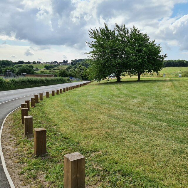
Church Hill is a charming village located in the county of Derbyshire, England. Situated on a gentle slope, it offers picturesque views of the surrounding countryside. The village is nestled within the beautiful Peak District National Park, making it a popular destination for nature lovers and outdoor enthusiasts.

One of the notable features of Church Hill is its historic church, which dates back to the 12th century. The church, known as St. John the Baptist, is a fine example of medieval architecture and is often admired for its intricate stained glass windows. It serves as a focal point for the community and is a place of worship for residents.

The village itself exudes a quaint and peaceful atmosphere, with its traditional limestone houses and well-maintained gardens. It boasts a close-knit community that values its rural heritage and takes pride in preserving the area's natural beauty.

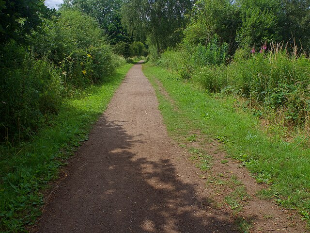
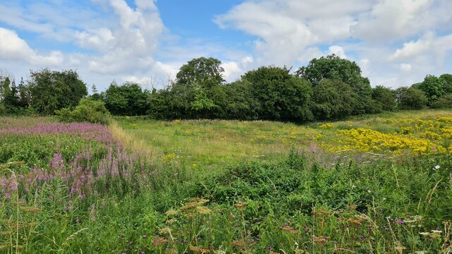
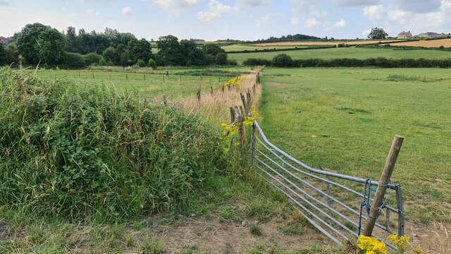
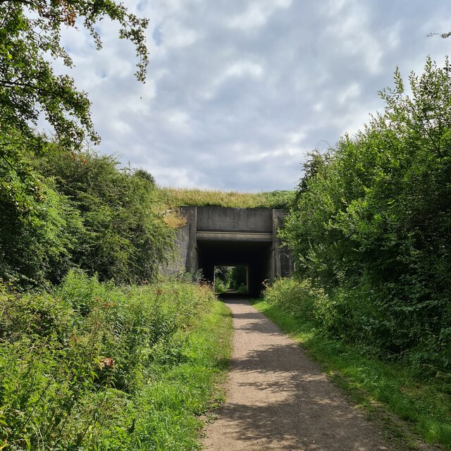
Surrounded by rolling hills and verdant meadows, Church Hill offers numerous opportunities for outdoor activities. The village is a starting point for several scenic walking trails, providing breathtaking views of the Peak District's rugged landscapes. It is also a haven for birdwatchers, as the area is home to a variety of bird species.

In terms of amenities, Church Hill has a small but well-stocked village shop and a cozy pub where locals and visitors can enjoy a pint of ale. The village is well-connected to neighboring towns and cities via road networks, providing easy access to amenities and attractions in the wider area.

Overall, Church Hill in Derbyshire is a picturesque and idyllic village, offering a peaceful retreat for those seeking a slice of rural charm amidst the stunning landscapes of the Peak District.

If you have any feedback on the listing, please let us know in the comments section below.
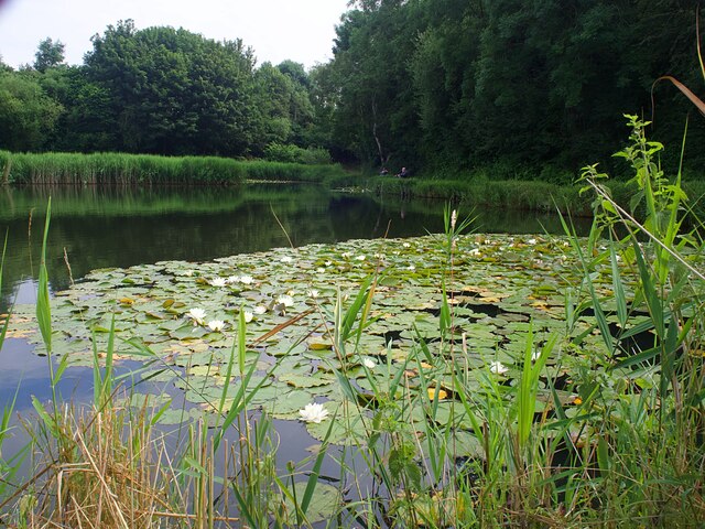
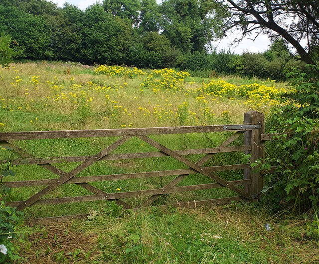
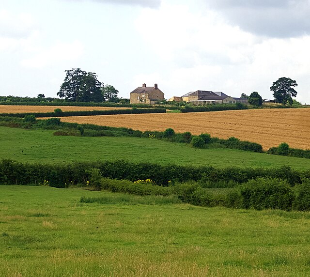
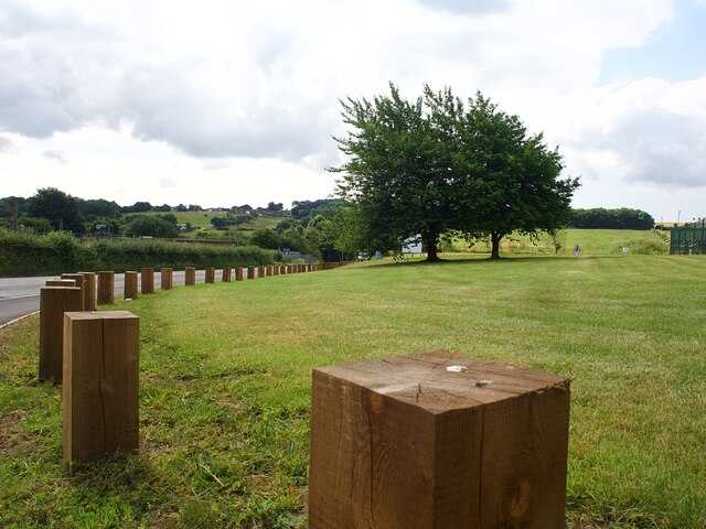
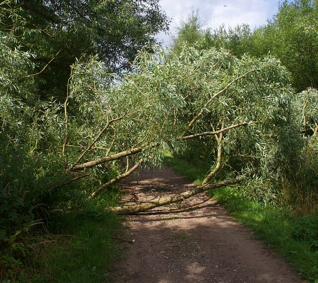
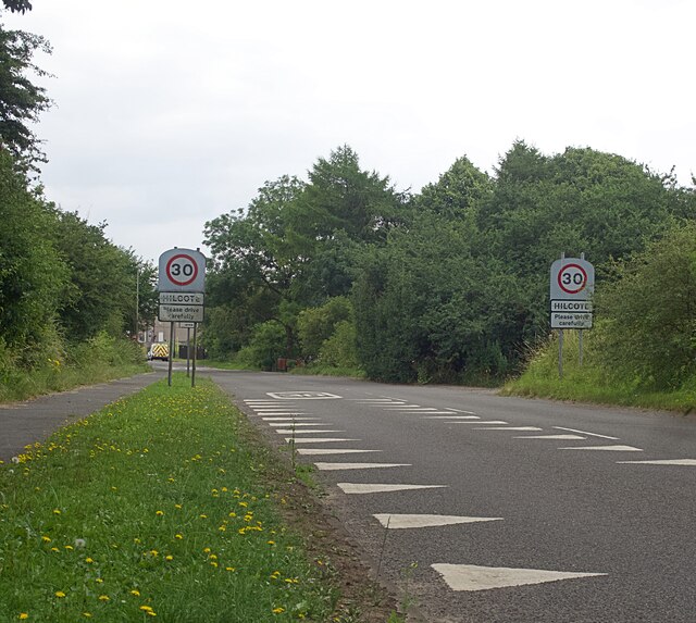
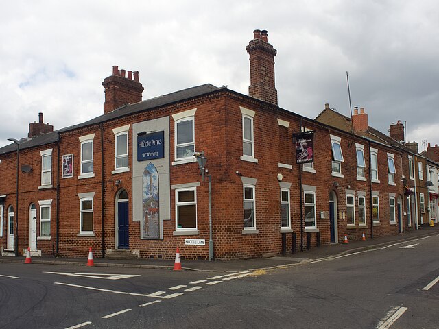
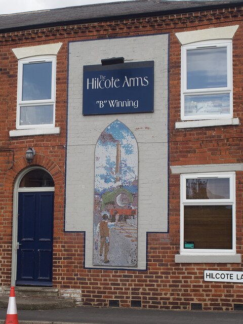
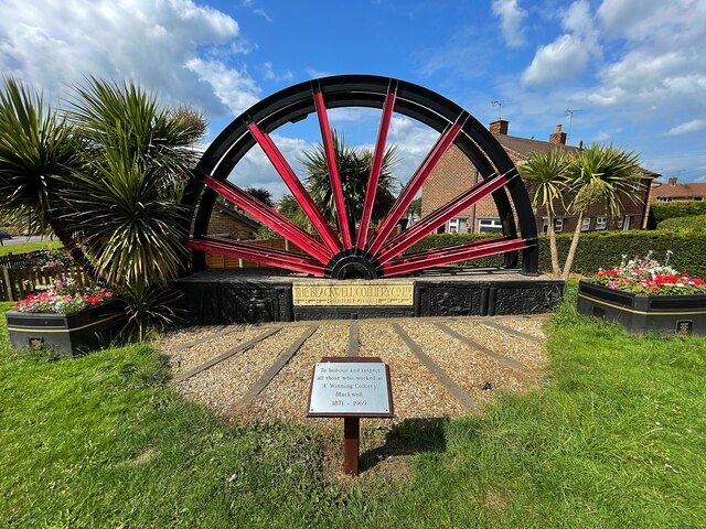
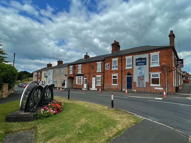
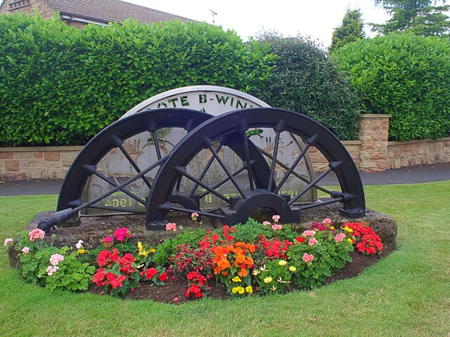
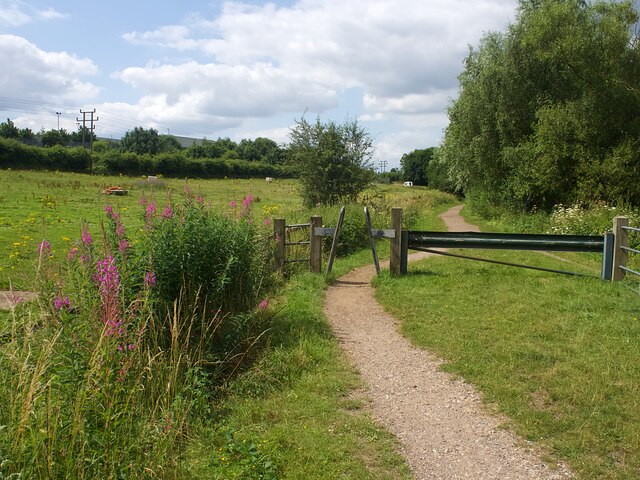
Church Hill Images

Images are sourced within 2km of 53.122184/-1.3365785 or Grid Reference SK4458. Thanks to Geograph Open Source API. All images are credited.

Tibshelf Pond One of two ponds at the southern end of the Five Pits Trail
Tibshelf Pond
One of two ponds at the southern end of the Five Pits Trail
Gate to a field full of ragwort There are several fields in the area in a similar poor and possibly unlawful condition.
Gate to a field full of ragwort
There are several fields in the area in a similar poor and possibly unlawful condition.
Fields below Westhouse Farm
Unusual fence at the H W Martin depot Posts but no rails
Unusual fence at the H W Martin depot
Posts but no rails
Fallen willow tree Obstructing the Blackwell Trail, an otherwise easy going trail on the line of a former colliery railway.
Fallen willow tree
Obstructing the Blackwell Trail, an otherwise easy going trail on the line of a former colliery railway.
Speed limit signs and road markings On the western approach to Hilcote village
Speed limit signs and road markings
On the western approach to Hilcote village
The Hilcote Arms 'B' Winning 'B' Winning refers to the local colliery which closed in 1964. See also <a href="https://www.geograph.org.uk/photo/6913919">SK4558 : Winding wheel from Blackwell Colliery</a>.
The Hilcote Arms 'B' Winning
'B' Winning refers to the local colliery which closed in 1964. See also SK4558 : Winding wheel from Blackwell Colliery.
Mural on the Hilcote Arms This mosaic would seem to be a recent addition <a href="https://www.geograph.org.uk/photo/3407794">SK4558 : Hilcote - mining memorial and Hilcote Arms</a>
Mural on the Hilcote Arms
This mosaic would seem to be a recent addition SK4558 : Hilcote - mining memorial and Hilcote Arms
Winding wheel from Blackwell Colliery The sign reads 'To honour and respect all those who worked at 'A' Winning Colliery, Blackwell 1871-1969
Winding wheel from Blackwell Colliery
The sign reads 'To honour and respect all those who worked at 'A' Winning Colliery, Blackwell 1871-1969
Winding wheel from Blackwell Colliery From the Hilcote 'B' Winning Colliery, 1874-1964. Across the road is the Hilcote Arms which also remembers the 'B' Winning colliery.
Winding wheel from Blackwell Colliery
From the Hilcote 'B' Winning Colliery, 1874-1964. Across the road is the Hilcote Arms which also remembers the 'B' Winning colliery.
Winding wheel from Blackwell Colliery From the Hilcote 'B' Winning Colliery, 1874-1964. Across the road is the Hilcote Arms which also remembers the 'B' Winning colliery <a href="https://www.geograph.org.uk/photo/6913909">SK4558 : The Hilcote Arms 'B' Winning</a>.
Winding wheel from Blackwell Colliery
From the Hilcote 'B' Winning Colliery, 1874-1964. Across the road is the Hilcote Arms which also remembers the 'B' Winning colliery SK4558 : The Hilcote Arms 'B' Winning.
Barrier on the Blackwell Trail An easy going trail on the line of a former colliery railway
Barrier on the Blackwell Trail
An easy going trail on the line of a former colliery railway
The Blackwell Trail  An easy going trail on the line of a former colliery railway.
The Blackwell Trail
An easy going trail on the line of a former colliery railway.
Fields beside Silverhill Trail
Development site, Blackwell
Fields near Westhouse Farm
Boundary post fence at H W Martin's depot Keep off the grass!
Boundary post fence at H W Martin's depot
Keep off the grass!
Under the M1
Under the M1
Show me another place!

Church Hill is located at Grid Ref: SK4458 (Lat: 53.122184, Lng: -1.3365785)

Administrative County: Derbyshire

District: Bolsover

Police Authority: Derbyshire

What 3 Words

///train.brand.modest. Near Blackwell, Derbyshire

Related Wikis

Newton, Derbyshire

Newton is a village in the Bolsover district of Derbyshire, England, about a mile south of Tibshelf. Population details are included in the civil parish...

Hilcote

Hilcote is a small village in the south of the Bolsover district in Derbyshire, England, located close to the A38 junction with the M1 (Junction 28). The...

Miners Welfare Ground

The Miners Welfare Ground is a cricket ground in Blackwell, England that Derbyshire CCC used between 1909 and 1913. The ground hosted 7 first-class matches...
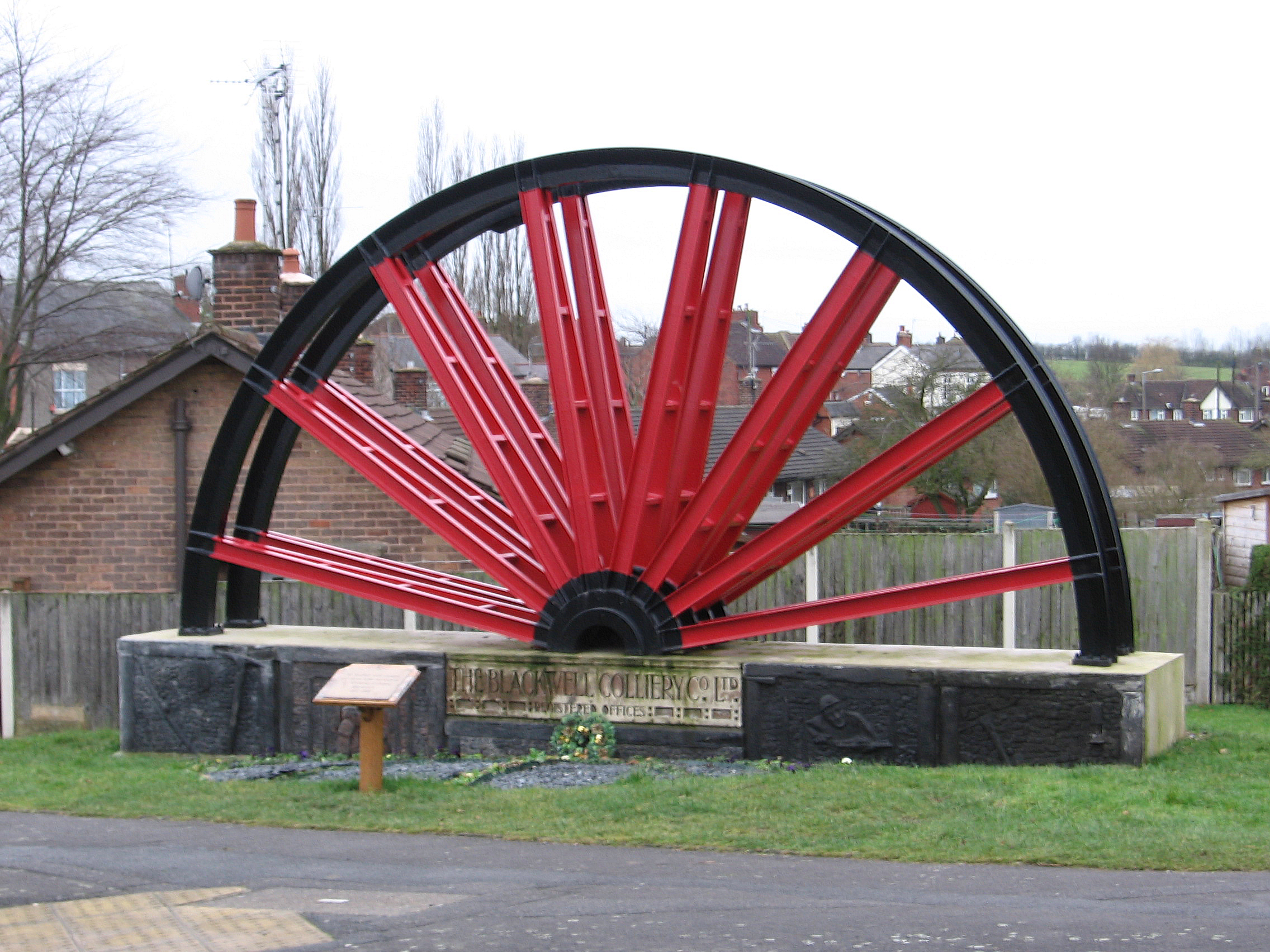
Blackwell, Bolsover

Blackwell is a village in Derbyshire, England. The population of the civil parish at the 2011 census was 4,389. It is one of the four villages that make...

Tibshelf & Newton railway station

Tibshelf & Newton railway station was on the Midland Railway's line from Westhouses in Derbyshire to Mansfield Woodhouse. The line opened in 1883, following...

Tibshelf services

Tibshelf services, opened in 1999, is a motorway service area operated by Roadchef between junctions 28 and 29 of the M1 motorway in Derbyshire, England...

South Normanton

South Normanton is a village and civil parish in the Bolsover District of Derbyshire, England. The population at the 2011 Census was 9,445. An ex-mining...

South Normanton F.C.

South Normanton Football Club was a football club based in South Normanton, Derbyshire. == History == The club was formed as a feeder club of South Normanton...

Nearby Amenities

Located within 500m of 53.122184,-1.3365785
Barrier: stile
Steps: 2
Stile: stepover
Lat/Long: 53.1247312/-1.3318583
Bus Stop
Bus: yes
Public Transport: platform
Lat/Long: 53.118638/-1.337437
Bench
Created By: Potlatch 0.10f
Lat/Long: 53.1188142/-1.3373581
Barrier: stile
Steps: 2
Stile: stepover
Lat/Long: 53.1189223/-1.3374611
Barrier: stile
Lat/Long: 53.1218378/-1.3370749
Telephone
Booth: K6
Covered: booth
Man Made: telephone_box
Lat/Long: 53.1223014/-1.3364054
Post Box
Brand: Royal Mail
Brand Wikidata: Q638098
Brand Wikipedia: en:Royal Mail
Operator: Royal Mail
Operator Wikidata: Q638098
Post Box Type: lamp
Ref: DE55 573
Royal Cypher: EIIR
Royal Cypher Wikidata: Q33102113
Lat/Long: 53.1223876/-1.335979
Disused Amenity: pub
Note: The "Mansfield" lamp above the entrance is all that remains
Old Name: Robin Hood
Source: local_knowledge
Source Location: OS_OpenData_StreetView
Lat/Long: 53.1231363/-1.3338745
Ele: 142.6402588
Information: board
Tourism: information
Lat/Long: 53.1224125/-1.3353569
Bench
Ele: 125.0964355
Lat/Long: 53.1212467/-1.3402501
Pub
Hilcote Country Club
Beer Garden: yes
Description Floor: Rough wood
Food: yes
Microbrewery: yes
Opening Hours: 16:00-23:00
Opening Hours Food: Wed-Sun 17:00-21:00
Parking: yes
Real Ale: 2 from Moody Fox, 1 other
Source: Sign on road;Bing
Lat/Long: 53.1180439/-1.3352335
Power: pole
Lat/Long: 53.1190718/-1.3413255
Power: pole
Lat/Long: 53.1179023/-1.3380689
Power: pole
Lat/Long: 53.1188547/-1.3375117
Power: pole
Lat/Long: 53.1188909/-1.3332338
Power: pole
Lat/Long: 53.1190829/-1.3358777
Power: pole
Lat/Long: 53.1198788/-1.332857
Power: pole
Lat/Long: 53.1216506/-1.3322558
Old Blackwell
Place: hamlet
Source Name: Sign
Lat/Long: 53.1203844/-1.3414747
Cafe
Hilcote Tea Room
Opening Hours: 11:00-16:00
Lat/Long: 53.1181554/-1.3352357
Restaurant
Rachell's Restaurant
Note: Same premises as Hilcote Tea Room. Sign above door still says Rachell's
Opening Hours: 16:00-later
Lat/Long: 53.1181546/-1.3351566
Direction: SSE
Generator Method: photovoltaic
Generator Output Electricity: yes
Generator Solar Modules: 4
Generator Source: solar
Generator Type: solar_photovoltaic_panel
Location: roof
Power: generator
Source: Bing Imagery
Lat/Long: 53.1229747/-1.3344277
Direction: 235
Generator Method: photovoltaic
Generator Output Electricity: yes
Generator Solar Modules: 10
Generator Source: solar
Generator Type: solar_photovoltaic_panel
Location: roof
Power: generator
Source: Bing Imagery
Lat/Long: 53.1221266/-1.3362326
Direction: SSE
Generator Method: photovoltaic
Generator Output Electricity: yes
Generator Solar Modules: 4
Generator Source: solar
Generator Type: solar_photovoltaic_panel
Location: roof
Power: generator
Source: Bing Imagery
Lat/Long: 53.1229555/-1.3345071
Direction: 235
Generator Method: photovoltaic
Generator Output Electricity: yes
Generator Solar Modules: 16
Generator Source: solar
Generator Type: solar_photovoltaic_panel
Location: roof
Power: generator
Source: Bing Imagery
Lat/Long: 53.1218343/-1.3353096
Direction: SSE
Generator Method: photovoltaic
Generator Output Electricity: yes
Generator Solar Modules: 16
Generator Source: solar
Generator Type: solar_photovoltaic_panel
Location: roof
Power: generator
Source: Bing Imagery
Lat/Long: 53.1230699/-1.3339049
Direction: 235
Generator Method: photovoltaic
Generator Output Electricity: yes
Generator Solar Modules: 16
Generator Source: solar
Generator Type: solar_photovoltaic_panel
Location: roof
Power: generator
Source: Bing Imagery
Lat/Long: 53.1221073/-1.3355067
Camera Mount: pole
Camera Type: panning
Man Made: surveillance
Surveillance: public
Surveillance Type: camera
Surveillance Zone: traffic
Lat/Long: 53.1232348/-1.3323028
Camera Mount: pole
Camera Type: panning
Man Made: surveillance
Surveillance: public
Surveillance Type: camera
Surveillance Zone: traffic
Lat/Long: 53.119788/-1.3339209
The data included in this document is from www.openstreetmap.org. The data is made available under ODbL.

Have you been to Church Hill?

Leave your review of Church Hill below (or comments, questions and feedback).