Hilcot End
Settlement in Gloucestershire Cotswold
England
Hilcot End
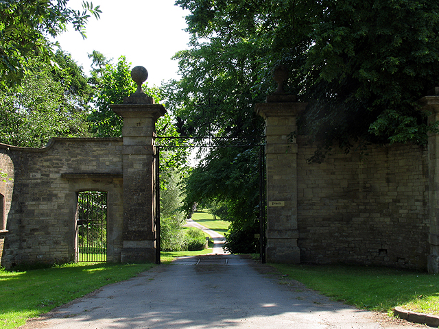
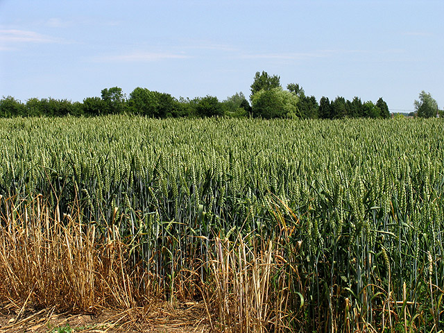
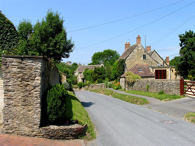
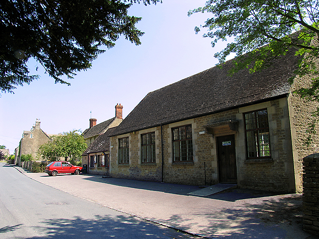
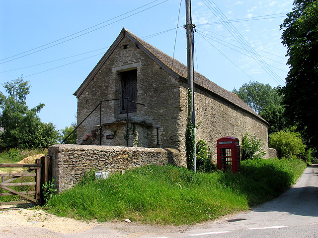
Hilcot End is a small rural hamlet located in the county of Gloucestershire, England. Situated in the heart of the picturesque Cotswolds, this charming settlement is nestled amidst rolling green hills and idyllic countryside.
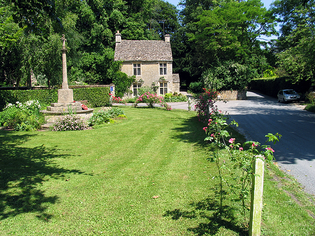
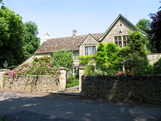
With a population of around 100 residents, Hilcot End exudes a tranquil and close-knit community atmosphere. The hamlet consists of a cluster of stone cottages, some dating back several centuries, which add to its rustic charm. The architecture in Hilcot End reflects the traditional Cotswold style, with its distinctive golden limestone and thatched roofs.
Despite its small size, Hilcot End benefits from its proximity to larger towns such as Chipping Campden and Moreton-in-Marsh, which provide essential amenities and services to the local population. The hamlet is well-connected to the surrounding areas via a network of country lanes and is approximately 10 miles away from the major city of Gloucester.
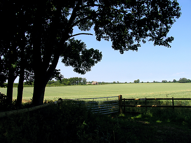
Surrounded by stunning natural beauty, Hilcot End offers an abundance of outdoor activities for nature enthusiasts. There are numerous walking trails and cycling routes that wind through the enchanting countryside, allowing visitors to explore the area's breathtaking landscapes. Additionally, the nearby Cotswold Hills provide ample opportunities for hiking and hillwalking, offering panoramic views of the surrounding countryside.
Overall, Hilcot End is a peaceful and picturesque hamlet that captures the essence of rural England. Its quaint charm, coupled with its stunning natural surroundings, makes it a desirable destination for those seeking a serene and idyllic countryside experience.
If you have any feedback on the listing, please let us know in the comments section below.
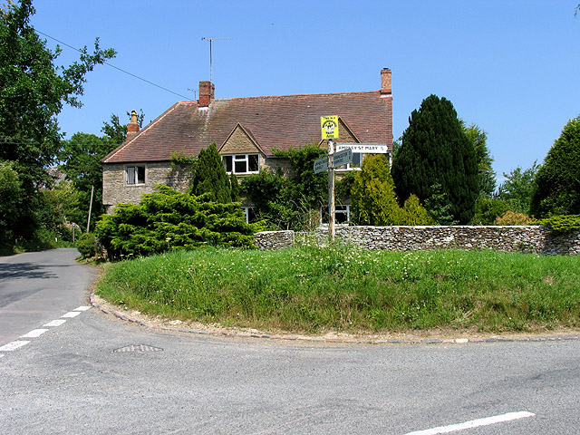
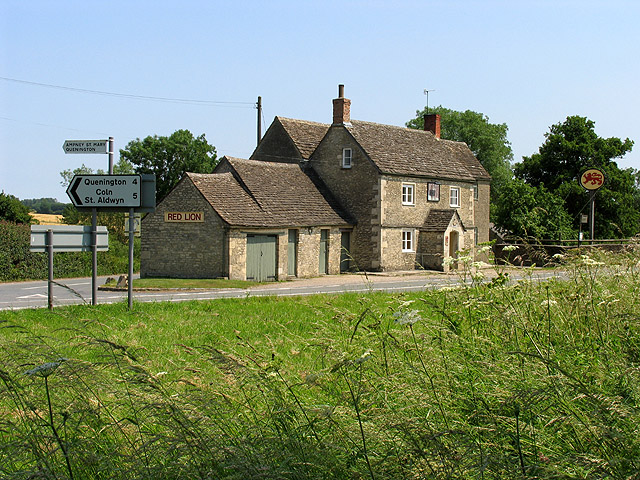
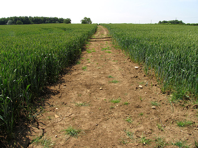
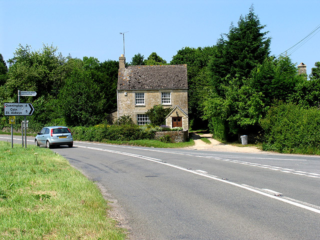
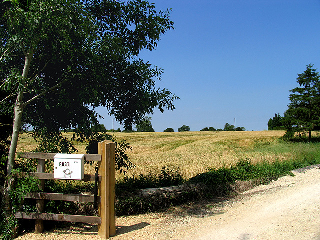
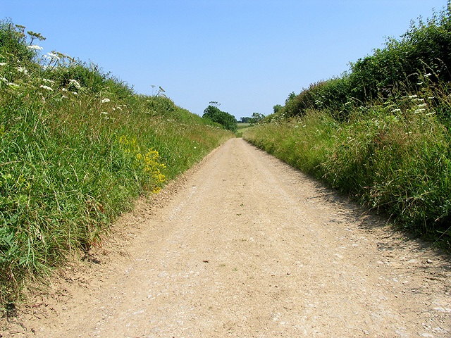
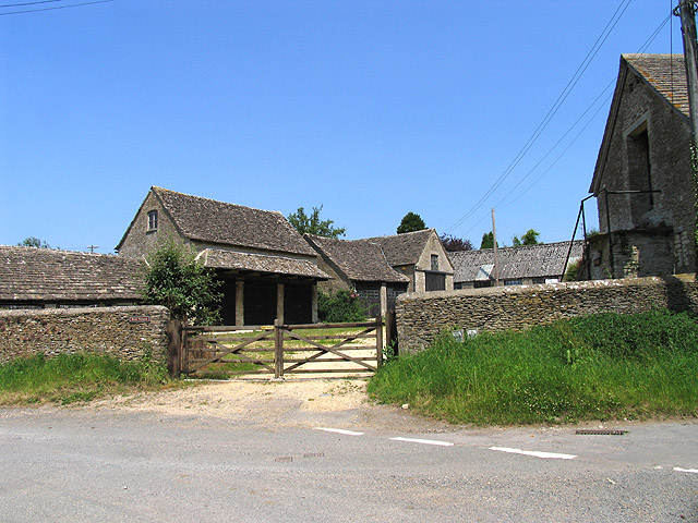
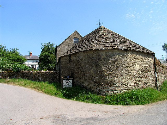
Hilcot End Images
Images are sourced within 2km of 51.720857/-1.889223 or Grid Reference SP0702. Thanks to Geograph Open Source API. All images are credited.
Hilcot End is located at Grid Ref: SP0702 (Lat: 51.720857, Lng: -1.889223)
Administrative County: Gloucestershire
District: Cotswold
Police Authority: Gloucestershire
What 3 Words
///owned.kitchens.winemaker. Near Cirencester, Gloucestershire
Nearby Locations
Related Wikis
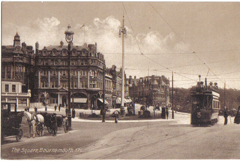
Bournemouth Corporation Tramways
Bournemouth Corporation Tramways served the town of Bournemouth in Dorset (although at the time it was in Hampshire) from 23 July 1902 until 8 April 1936...
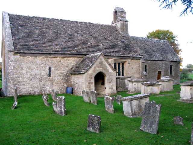
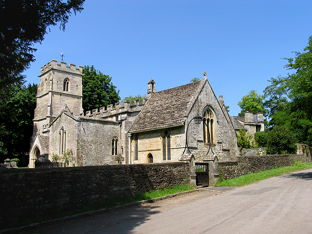
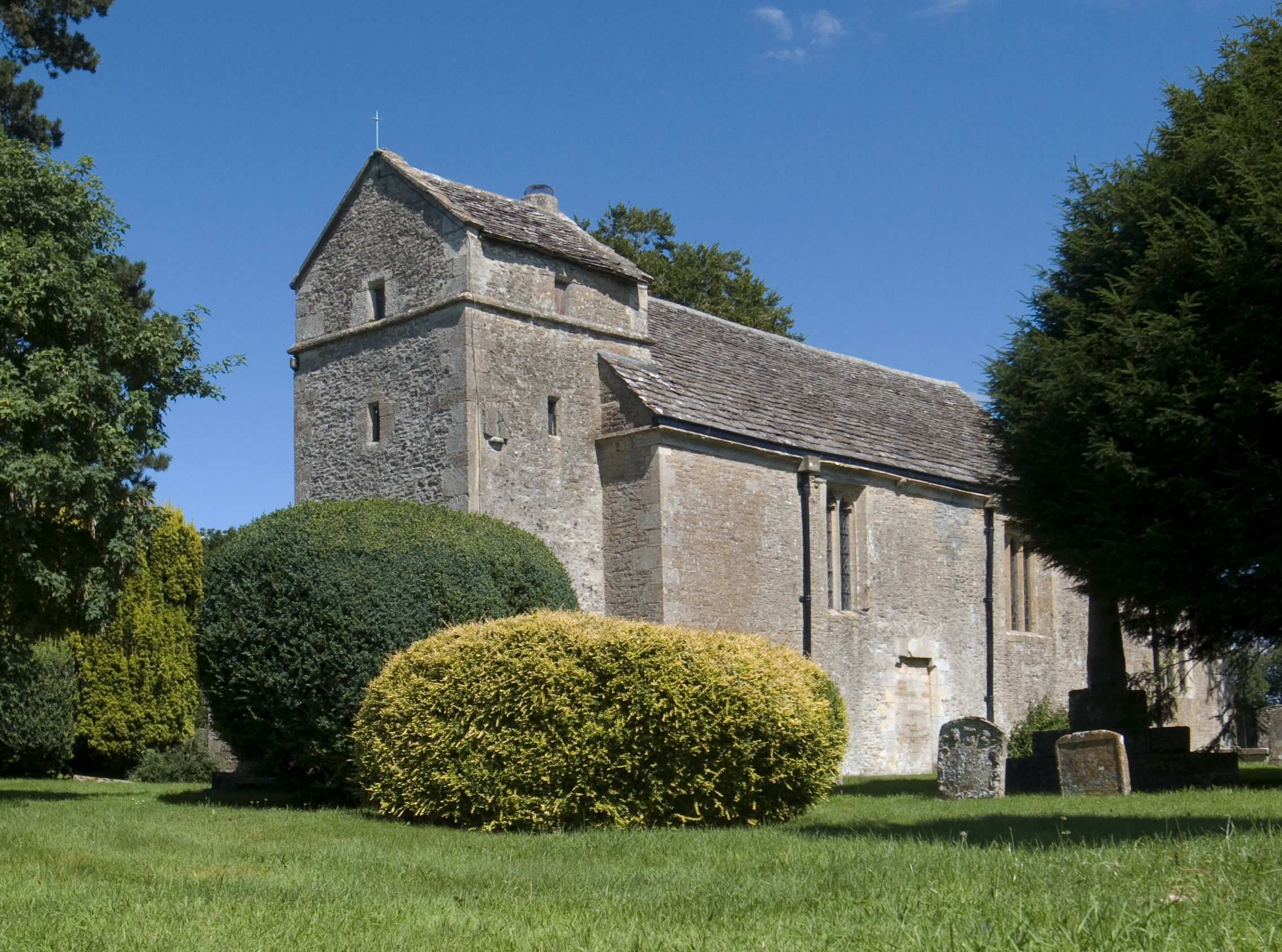
Church of St Mary, Ampney St Mary
The Anglican Church of St Mary at Ampney St Mary in the Cotswold District of Gloucestershire, England was built in the 12th and 13th centuries. It is a...
Ampney St Peter
Ampney St Peter is a small village and civil parish in the Cotswolds, part of the Cotswold of Gloucestershire, England. According to the 2014 mid year...

Ampney Crucis
Ampney Crucis is a village and civil parish in the Cotswolds, part of the Cotswold District of Gloucestershire, England. The village is in the Ampney-Coln...
Ampney St Mary
Ampney St Mary is a small village and civil parish in the Cotswolds, part of the Cotswold District of Gloucestershire, England. According to the 2001 census...

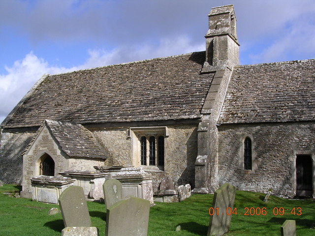
Church of the Holy Rood, Ampney Crucis
The Anglican Church of the Holy Rood at Ampney Crucis in the Cotswold District of Gloucestershire, England has Saxon foundations with some of the stonework...
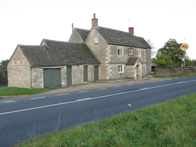
Red Lion, Ampney St Peter
The Red Lion is a Grade II listed pub at Ampney St Peter, Gloucestershire, GL7 5SL.It is on the Campaign for Real Ale's National Inventory of Historic...

Ampney Park
Ampney Park is a 16th century manor house at Ampney Crucis, Gloucestershire, England. It is a Grade II listed building. == History == The estate is attached...
Nearby Amenities
Located within 500m of 51.720857,-1.889223Have you been to Hilcot End?
Leave your review of Hilcot End below (or comments, questions and feedback).