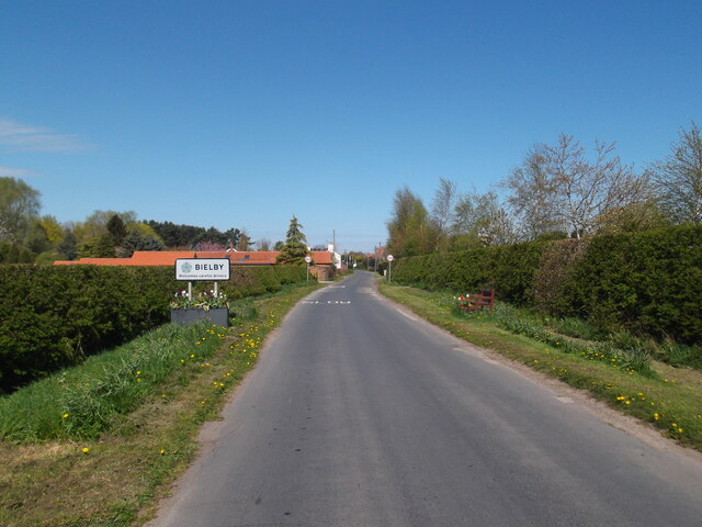
Bielby
Civil Parish in Yorkshire
England
Bielby
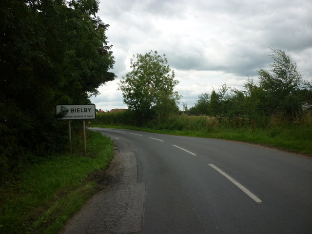
Bielby is a small civil parish located in the East Riding of Yorkshire, England. Situated approximately 8 miles south-east of the historic city of York, this rural village offers a peaceful and picturesque setting.
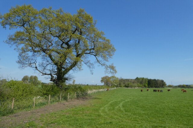
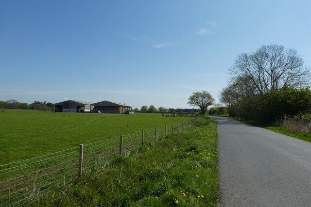
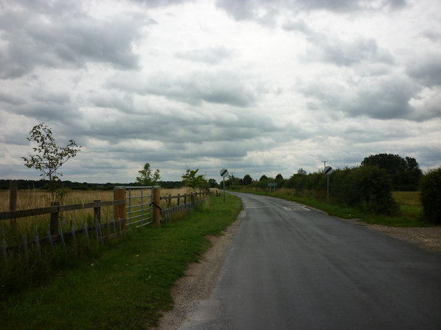
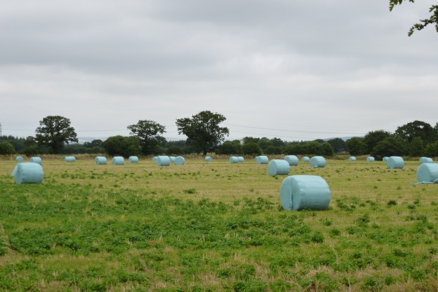
The parish of Bielby covers an area of around 4.5 square miles and is home to a population of just over 200 residents. It is surrounded by beautiful countryside, with rolling fields and farmland dominating the landscape.
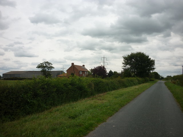
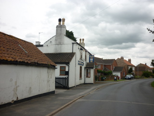
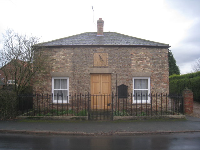
The village itself consists of a cluster of traditional stone-built houses and cottages, creating a charming and idyllic atmosphere. Bielby is a close-knit community, with a strong sense of community spirit and a friendly atmosphere.
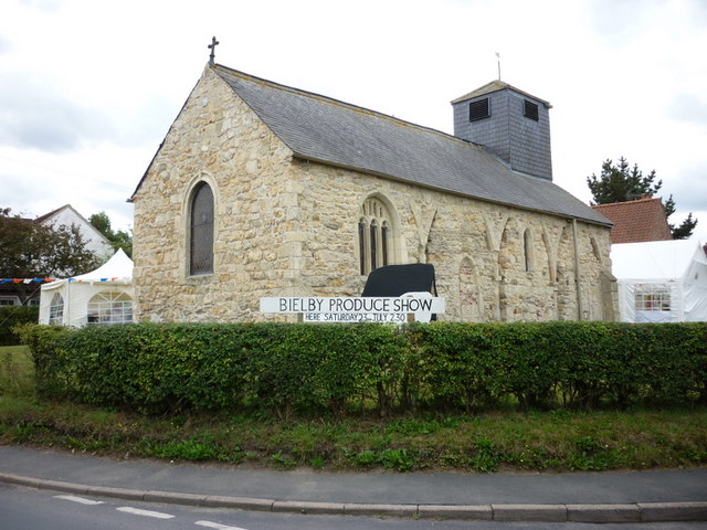
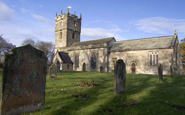
A notable feature of Bielby is its historic church, St. Giles Church, which dates back to the 12th century. This Grade II listed building is a focal point of the village and is known for its stunning architecture and beautiful stained glass windows.
Bielby offers a range of amenities for its residents, including a village hall and a local pub, providing opportunities for socializing and community events. The village is also well-connected, with good transport links to nearby towns and cities.
The surrounding area offers plenty of opportunities for outdoor activities, with numerous walking and cycling routes available. Bielby is also within close proximity to several nature reserves and parks, allowing residents to enjoy the natural beauty of the region.
Overall, Bielby is a charming and peaceful village that offers a high quality of life for its residents, with its beautiful surroundings and strong sense of community.
If you have any feedback on the listing, please let us know in the comments section below.
Bielby Images
Images are sourced within 2km of 53.891966/-0.780914 or Grid Reference SE8044. Thanks to Geograph Open Source API. All images are credited.


Bielby is located at Grid Ref: SE8044 (Lat: 53.891966, Lng: -0.780914)
Division: East Riding
Unitary Authority: East Riding of Yorkshire
Police Authority: Humberside
What 3 Words
///jumped.sleeps.crumples. Near Hayton, East Yorkshire
Nearby Locations
Related Wikis

Bielby
Bielby is a village and civil parish in the East Riding of Yorkshire, England. The village is situated about 4 miles (6.4 km) south of Pocklington. According...
Hayton, East Riding of Yorkshire
Hayton is a village and civil parish in the East Riding of Yorkshire, England. It is situated approximately 2 miles (3 km) south of the market town of...

Everingham
Everingham is a village in the East Riding of Yorkshire, England. It is 5 miles (8 km) west of Market Weighton town centre and 4 miles (6 km) south of...

Ss Mary & Everilda, Everingham
The Chapel of St. Mary the Virgin and St. Everilda, in the village of Everingham in the East Riding of Yorkshire, England, is an impressive Italianate...

Waplington
Waplington is a hamlet in the East Riding of Yorkshire, England. It is situated approximately 2 miles (3.2 km) south-west of the market town of Pocklington...

Allerthorpe
Allerthorpe is a village and civil parish in the East Riding of Yorkshire, England. It is situated approximately 1.5 miles (2.4 km) south-west from the...

Nunburnholme railway station
Nunburnholme railway station was a railway station on the York to Beverley Line in the East Riding of Yorkshire, England. It opened in 1848 as Burnby,...

Thorpe le Street
Thorpe le Street is a hamlet and former civil parish, now in the parish of Hayton, in the East Riding of Yorkshire, England. It is situated approximately...
Nearby Amenities
Located within 500m of 53.891966,-0.780914Have you been to Bielby?
Leave your review of Bielby below (or comments, questions and feedback).