Coat's Flat
Downs, Moorland in Yorkshire
England
Coat's Flat
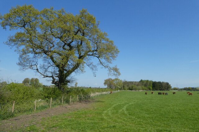
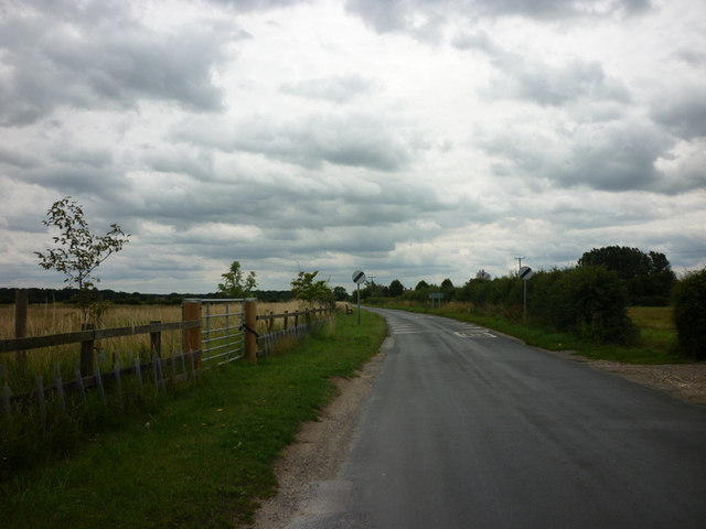
Coat's Flat is a picturesque area located in the region of Yorkshire, England. Nestled amidst the stunning landscape of the Yorkshire Downs and Moorland, it is renowned for its natural beauty and tranquil atmosphere. The flat itself refers to a vast expanse of open land, characterized by its gently rolling hills, verdant meadows, and breathtaking panoramic views.
This area is a haven for outdoor enthusiasts and nature lovers, offering a myriad of opportunities for exploration and recreation. Walking and hiking trails crisscross the terrain, allowing visitors to immerse themselves in the stunning surroundings. The Yorkshire Downs, with their distinctive heather-covered slopes, provide a striking backdrop, while the Moorland offers a unique and wild terrain, perfect for those seeking a rugged adventure.
Coat's Flat is also home to a diverse range of wildlife, providing ample opportunities for birdwatching and nature spotting. Visitors may catch glimpses of native species such as red grouse, curlew, and lapwing, among others. The area is also known for its rich history, with ancient ruins and archaeological sites scattered throughout the landscape, adding an extra layer of intrigue to the experience.
In addition to its natural beauty, Coat's Flat boasts a strong sense of community and a welcoming atmosphere. Local villages offer charming pubs, quaint tearooms, and traditional shops, providing visitors with a taste of authentic Yorkshire hospitality.
Overall, Coat's Flat in Yorkshire is a stunning destination that combines breathtaking natural scenery, outdoor activities, and a rich cultural heritage, making it an ideal retreat for those seeking solace in the beauty of the English countryside.
If you have any feedback on the listing, please let us know in the comments section below.
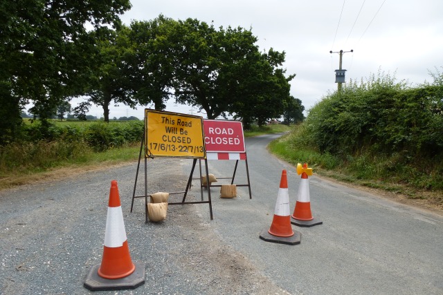
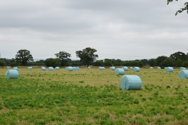
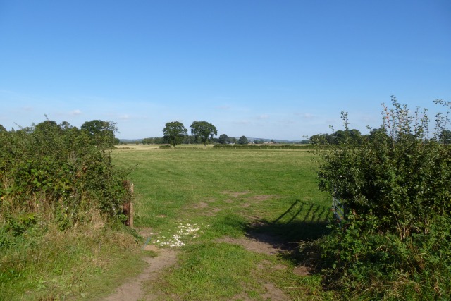
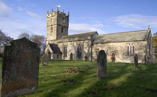
Coat's Flat Images
Images are sourced within 2km of 53.892866/-0.78340521 or Grid Reference SE8044. Thanks to Geograph Open Source API. All images are credited.


Coat's Flat is located at Grid Ref: SE8044 (Lat: 53.892866, Lng: -0.78340521)
Division: East Riding
Unitary Authority: East Riding of Yorkshire
Police Authority: Humberside
What 3 Words
///overjoyed.roughest.economies. Near Hayton, East Yorkshire
Nearby Locations
Related Wikis

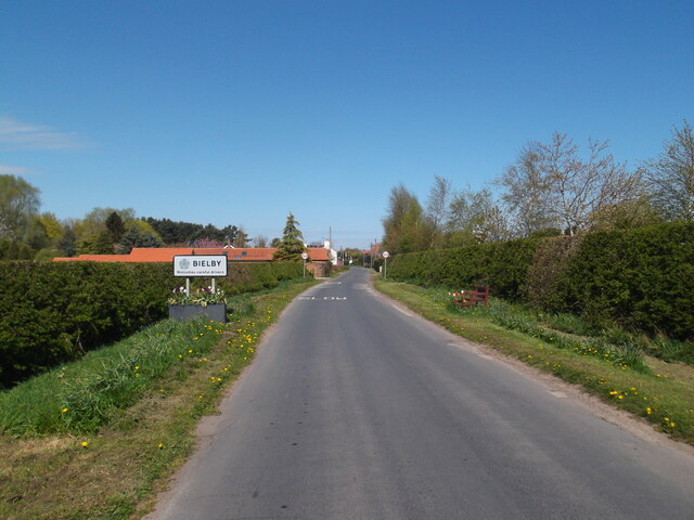
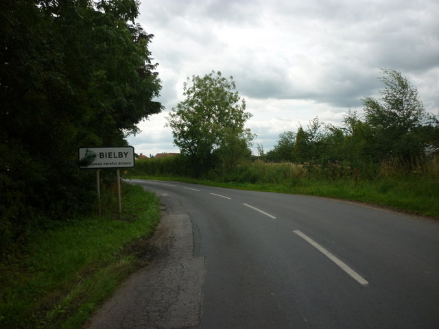
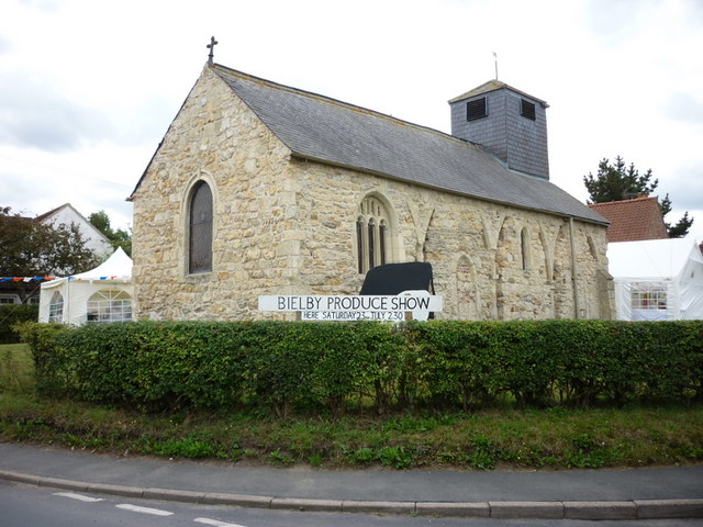
Bielby
Bielby is a village and civil parish in the East Riding of Yorkshire, England. The village is situated about 4 miles (6.4 km) south of Pocklington. According...
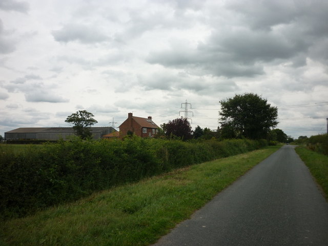
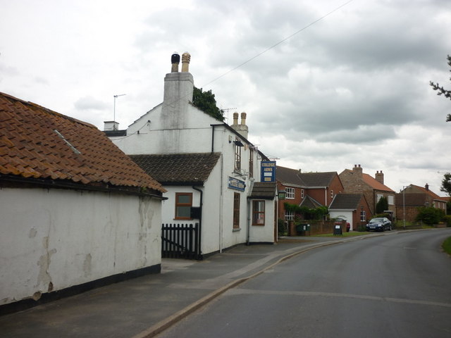
Hayton, East Riding of Yorkshire
Hayton is a village and civil parish in the East Riding of Yorkshire, England. It is situated approximately 2 miles (3 km) south of the market town of...

Everingham
Everingham is a village in the East Riding of Yorkshire, England. It is 5 miles (8 km) west of Market Weighton town centre and 4 miles (6 km) south of...

Ss Mary & Everilda, Everingham
The Chapel of St. Mary the Virgin and St. Everilda, in the village of Everingham in the East Riding of Yorkshire, England, is an impressive Italianate...

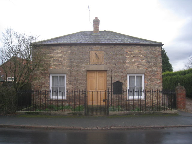
Waplington
Waplington is a hamlet in the East Riding of Yorkshire, England. It is situated approximately 2 miles (3.2 km) south-west of the market town of Pocklington...

Allerthorpe
Allerthorpe is a village and civil parish in the East Riding of Yorkshire, England. It is situated approximately 1.5 miles (2.4 km) south-west from the...

Nunburnholme railway station
Nunburnholme railway station was a railway station on the York to Beverley Line in the East Riding of Yorkshire, England. It opened in 1848 as Burnby,...

Thorpe le Street
Thorpe le Street is a hamlet and former civil parish, now in the parish of Hayton, in the East Riding of Yorkshire, England. It is situated approximately...
Nearby Amenities
Located within 500m of 53.892866,-0.78340521Have you been to Coat's Flat?
Leave your review of Coat's Flat below (or comments, questions and feedback).