Acres
Downs, Moorland in Yorkshire
England
Acres
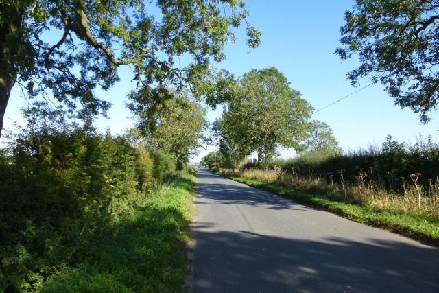
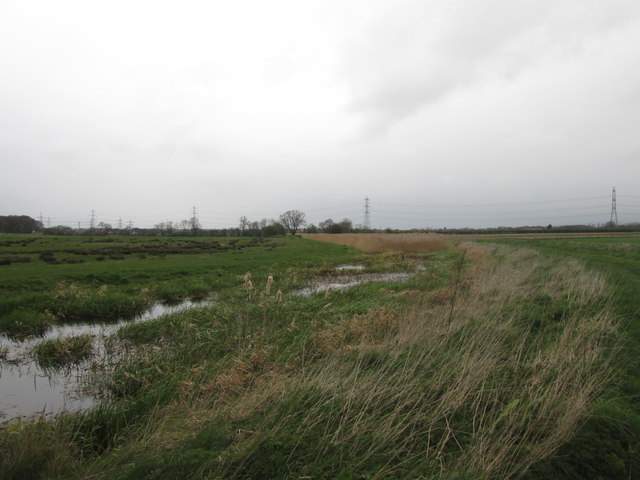
Acres, Yorkshire is a picturesque region located in the northern part of England. Known for its stunning natural landscapes, Acres encompasses both the Yorkshire Downs and Moorland, offering a diverse array of scenery.
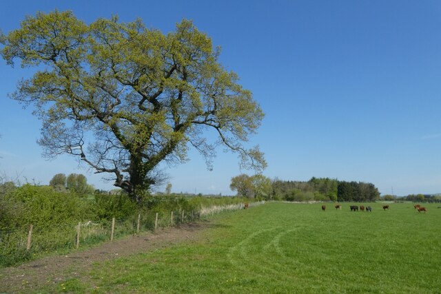
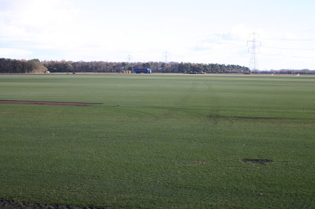
The Yorkshire Downs, a range of low hills and rolling countryside, dominate the southern part of Acres. This area is characterized by its sweeping green fields, dotted with charming villages and historic landmarks. The Downs provide ample opportunities for outdoor activities such as hiking, cycling, and horseback riding. Visitors can explore the well-maintained trails that wind through the hills, offering breathtaking views of the surrounding countryside.
To the north, Acres is home to the Moorland, an expansive area of wild and rugged terrain. Moorland is characterized by its heather-covered hills, vast open spaces, and unpredictable weather. This unique landscape attracts nature enthusiasts, who can spot a wide variety of wildlife, including birds of prey, grouse, and deer. The Moorland also offers opportunities for adventurous activities such as rock climbing and mountain biking.
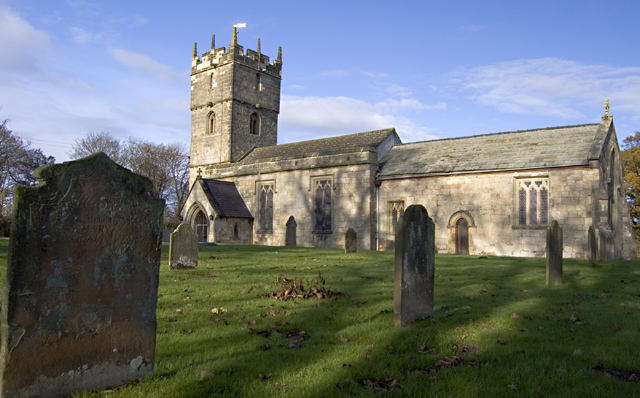
In addition to its natural beauty, Acres boasts a rich cultural heritage. The region is dotted with historic sites and landmarks, including ancient castles, stately homes, and picturesque churches. Visitors can delve into the region's history by exploring these architectural gems and learning about the stories they hold.
Overall, Acres, Yorkshire is a place of natural beauty and historical significance, offering a perfect blend of outdoor adventures and cultural exploration. Whether it's exploring the rolling hills of the Yorkshire Downs or immersing oneself in the wild and untamed Moorland, Acres has something to offer for everyone.
If you have any feedback on the listing, please let us know in the comments section below.
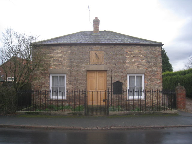
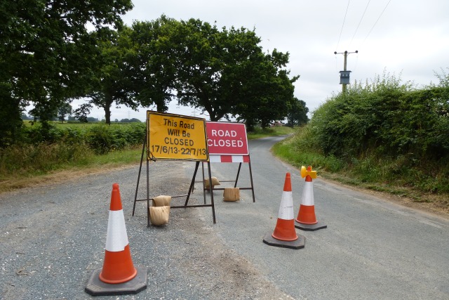
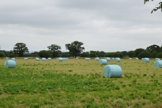
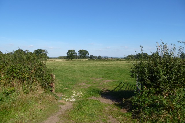
Acres Images
Images are sourced within 2km of 53.89041/-0.77702481 or Grid Reference SE8044. Thanks to Geograph Open Source API. All images are credited.

Acres is located at Grid Ref: SE8044 (Lat: 53.89041, Lng: -0.77702481)
Division: East Riding
Unitary Authority: East Riding of Yorkshire
Police Authority: Humberside
What 3 Words
///protrude.noting.screen. Near Hayton, East Yorkshire
Nearby Locations
Related Wikis

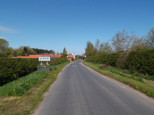
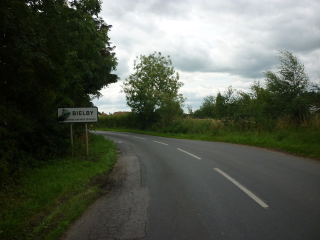
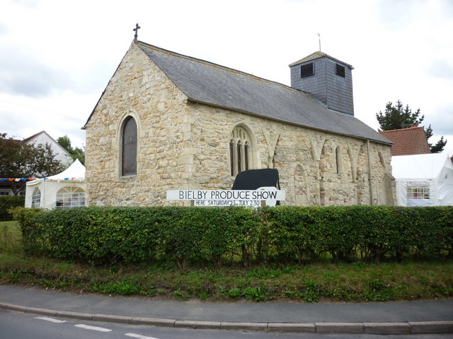
Bielby
Bielby is a village and civil parish in the East Riding of Yorkshire, England. The village is situated about 4 miles (6.4 km) south of Pocklington. According...
Hayton, East Riding of Yorkshire
Hayton is a village and civil parish in the East Riding of Yorkshire, England. It is situated approximately 2 miles (3 km) south of the market town of...

Everingham
Everingham is a village in the East Riding of Yorkshire, England. It is 5 miles (8 km) west of Market Weighton town centre and 4 miles (6 km) south of...

Ss Mary & Everilda, Everingham
The Chapel of St. Mary the Virgin and St. Everilda, in the village of Everingham in the East Riding of Yorkshire, England, is an impressive Italianate...

Thorpe le Street
Thorpe le Street is a hamlet and former civil parish, now in the parish of Hayton, in the East Riding of Yorkshire, England. It is situated approximately...

Nunburnholme railway station
Nunburnholme railway station was a railway station on the York to Beverley Line in the East Riding of Yorkshire, England. It opened in 1848 as Burnby,...

Waplington
Waplington is a hamlet in the East Riding of Yorkshire, England. It is situated approximately 2 miles (3.2 km) south-west of the market town of Pocklington...

Allerthorpe
Allerthorpe is a village and civil parish in the East Riding of Yorkshire, England. It is situated approximately 1.5 miles (2.4 km) south-west from the...
Nearby Amenities
Located within 500m of 53.89041,-0.77702481Have you been to Acres?
Leave your review of Acres below (or comments, questions and feedback).