Hayton Field
Downs, Moorland in Yorkshire
England
Hayton Field
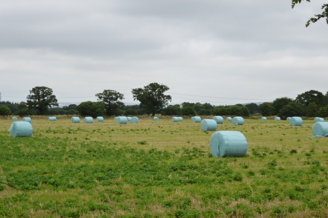
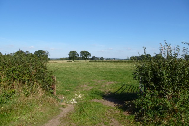
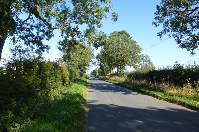
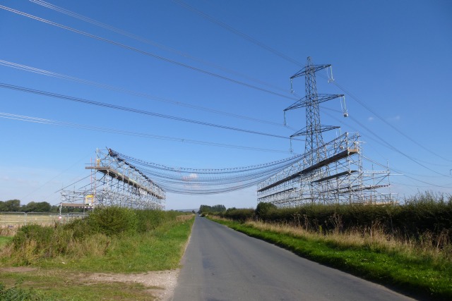
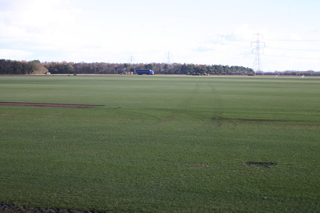
Hayton Field is a picturesque area located in Yorkshire, England, known for its stunning landscape and diverse natural features. Situated in the heart of the Yorkshire Downs and Moorland, it covers an expansive area of rolling hills, heather-covered moors, and lush green valleys.
The field is characterized by its rich biodiversity, housing a variety of plant and animal species. The moorland is adorned with vibrant purple heather during the summer months, creating a breathtaking spectacle for visitors. This unique ecosystem provides a habitat for numerous bird species, including the elusive red grouse and the majestic golden eagle.
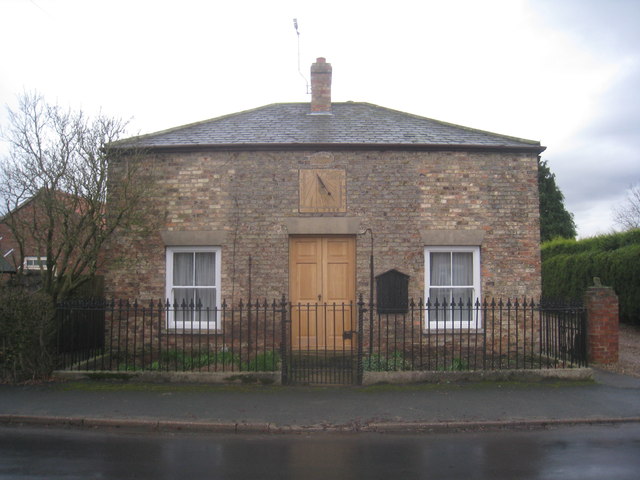
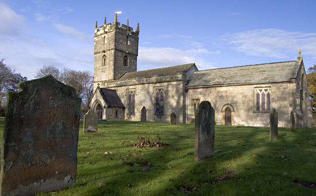
Hayton Field is also home to several ancient archaeological sites, including burial mounds and stone circles, which serve as a testament to the area's rich historical significance. These sites offer visitors a glimpse into the lives and cultures of the people who inhabited the region thousands of years ago.
The field is a haven for outdoor enthusiasts, offering a range of activities such as hiking, cycling, and birdwatching. There are several well-maintained trails that wind through the landscape, providing stunning views of the surrounding countryside.
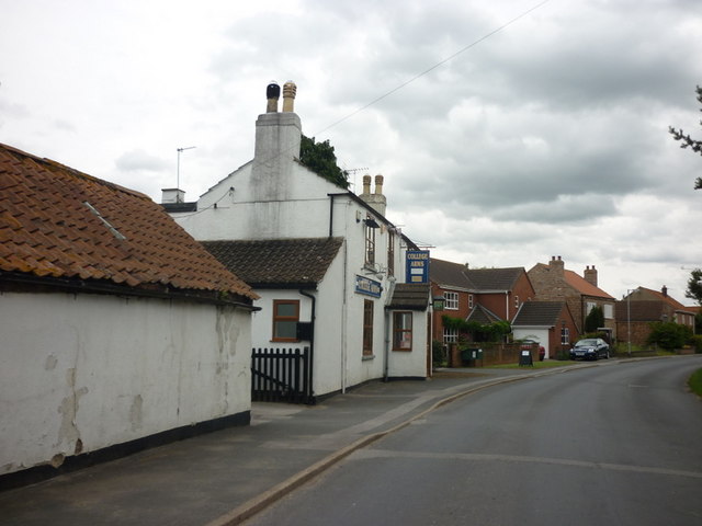
Visitors to Hayton Field can also explore the quaint nearby villages, where they can experience the warm hospitality of the locals and sample traditional Yorkshire cuisine in charming country pubs.
Overall, Hayton Field is a captivating destination that showcases the natural beauty and cultural heritage of Yorkshire's Downs and Moorland. Its diverse landscape, abundant wildlife, and historical sites make it an ideal location for nature lovers and history enthusiasts alike.
If you have any feedback on the listing, please let us know in the comments section below.
Hayton Field Images
Images are sourced within 2km of 53.890636/-0.77444666 or Grid Reference SE8044. Thanks to Geograph Open Source API. All images are credited.


Hayton Field is located at Grid Ref: SE8044 (Lat: 53.890636, Lng: -0.77444666)
Division: East Riding
Unitary Authority: East Riding of Yorkshire
Police Authority: Humberside
What 3 Words
///parade.gilding.unusually. Near Hayton, East Yorkshire
Nearby Locations
Related Wikis
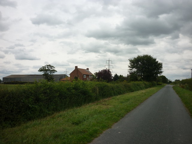
Hayton, East Riding of Yorkshire
Hayton is a village and civil parish in the East Riding of Yorkshire, England. It is situated approximately 2 miles (3 km) south of the market town of...

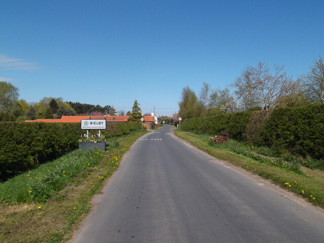
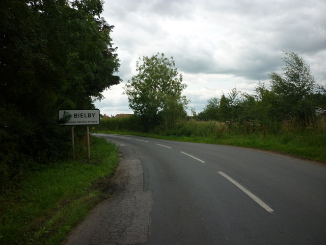
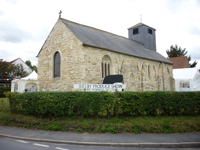
Bielby
Bielby is a village and civil parish in the East Riding of Yorkshire, England. The village is situated about 4 miles (6.4 km) south of Pocklington. According...

Everingham
Everingham is a village in the East Riding of Yorkshire, England. It is 5 miles (8 km) west of Market Weighton town centre and 4 miles (6 km) south of...

Ss Mary & Everilda, Everingham
The Chapel of St. Mary the Virgin and St. Everilda, in the village of Everingham in the East Riding of Yorkshire, England, is an impressive Italianate...
Nearby Amenities
Located within 500m of 53.890636,-0.77444666Have you been to Hayton Field?
Leave your review of Hayton Field below (or comments, questions and feedback).