Holme Common

Downs, Moorland in Yorkshire

England

Holme Common

Bus stop and shelter on Selby Road (A163), Holme upon Spalding Moor
Bus stop and shelter on Selby Road (A163), Holme upon Spalding Moor Credit: JThomas

The requested URL returned error: 429 Too Many Requests

If you have any feedback on the listing, please let us know in the comments section below.
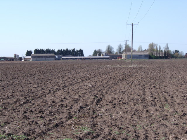
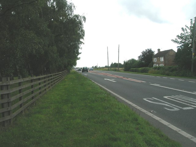
Holme Common Images

Images are sourced within 2km of 53.82077/-0.7764405 or Grid Reference SE8036. Thanks to Geograph Open Source API. All images are credited.

Bus stop and shelter on Selby Road (A163), Holme upon Spalding Moor
Oak Tree Farm
Oak Tree Farm
Grazing land, Oak Tree Farm
Black Plantation
Black Plantation
Baileywood Lane
Baileywood Lane
Bungalow Farm
Bungalow Farm
Arglam Lane
Arglam Lane
Arglam Lane
Arglam Lane
Farmland, Holme House Farm
Bulmer Lane towards Water End
The crossroads of Howden Road (A614) and Bursea Lane
Common Farm off Bursea Lane
Hard standing for a speed camera van On Howden Road, East Yorkshire.
Hard standing for a speed camera van
On Howden Road, East Yorkshire.
Drain Lane near Baileywood Lane Holme on Spalding Moor.
Drain Lane near Baileywood Lane
Holme on Spalding Moor.
Baileywood Lane towards Holme on Spalding Moor
Barn on Baileywood Lane Holme on Spalding Moor.
Barn on Baileywood Lane
Holme on Spalding Moor.
Oak Tree Farm from Drain Lane
A drain off Drain Lane
Show me another place!

Holme Common is located at Grid Ref: SE8036 (Lat: 53.82077, Lng: -0.7764405)

Division: East Riding

Unitary Authority: East Riding of Yorkshire

Police Authority: Humberside

What 3 Words

///truckload.unfocused.likewise. Near Eastrington, East Yorkshire

Nearby Locations

Holme Common

Related Wikis

Holme-on-Spalding-Moor

Holme-on-Spalding-Moor (also known as Holme-upon-Spalding-Moor) is a large village and civil parish in the East Riding of Yorkshire, England. It is situated...

Holme Hall, East Riding of Yorkshire

Holme Hall is a grade II* listed 18th-century country house in Holme-on-Spalding-Moor, East Riding of Yorkshire, England. It was then a Sue Ryder Care...

Holme Moor railway station

Holme Moor railway station was a station on the Selby to Driffield Line in the East Riding of Yorkshire, England serving the village of Holme-on-Spalding...

Welhambridge

Welhambridge is a hamlet in the East Riding of Yorkshire, England. It is situated approximately 3 miles (4.8 km) south-west of the village of Holme-on...

Nearby Amenities

Located within 500m of 53.82077,-0.7764405
Power: pole
Lat/Long: 53.8191392/-0.782611
Power: pole
Lat/Long: 53.8196165/-0.7815934
Power: pole
Lat/Long: 53.8199029/-0.7805877
Power: pole
Lat/Long: 53.8202149/-0.7795622
Power: pole
Lat/Long: 53.8205571/-0.7782528
Power: pole
Lat/Long: 53.8208994/-0.7770577
Power: pole
Lat/Long: 53.8212189/-0.775916
Power: pole
Lat/Long: 53.8224414/-0.7716959
Power: pole
Lat/Long: 53.822812/-0.7704021
The data included in this document is from www.openstreetmap.org. The data is made available under ODbL.

Have you been to Holme Common?

Leave your review of Holme Common below (or comments, questions and feedback).