Salcey Green
Downs, Moorland in Buckinghamshire
England
Salcey Green
The requested URL returned error: 429 Too Many Requests
If you have any feedback on the listing, please let us know in the comments section below.
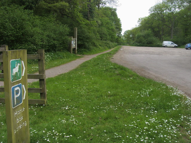
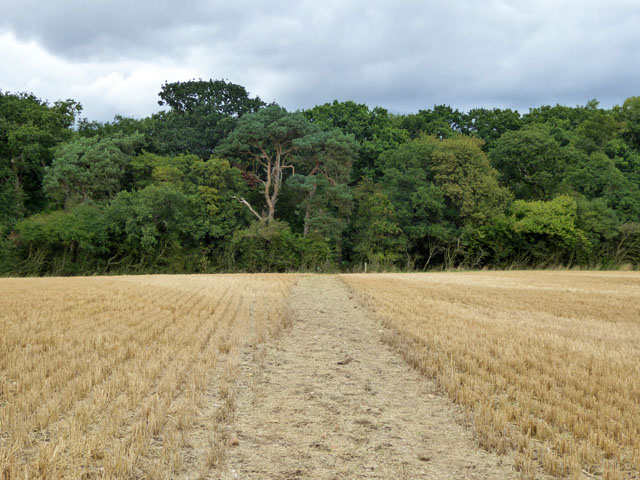
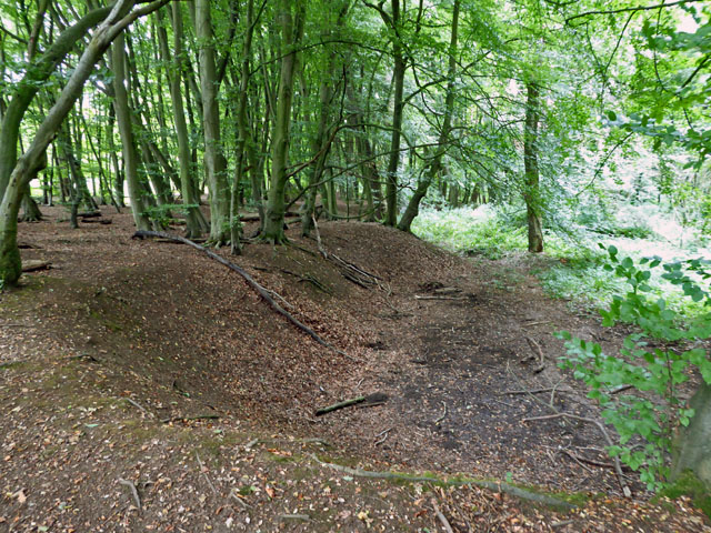
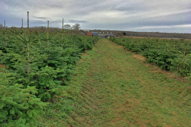
Salcey Green Images
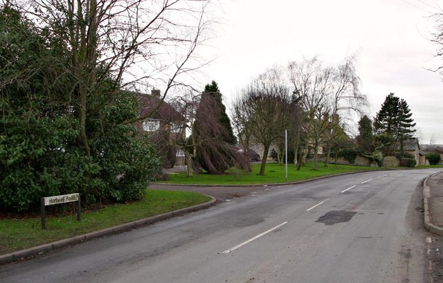
Images are sourced within 2km of 52.13389/-0.8226826 or Grid Reference SP8049. Thanks to Geograph Open Source API. All images are credited.

Salcey Green is located at Grid Ref: SP8049 (Lat: 52.13389, Lng: -0.8226826)
Unitary Authority: Milton Keynes
Police Authority: Thames Valley
What 3 Words
///sketches.quail.watching. Near Hanslope, Buckinghamshire
Nearby Locations
Related Wikis

Salcey Green
Salcey Green is an area of farm and wood land within the parish of Hanslope in the Borough of Milton Keynes, England. In 1830 it was the scene of an infamous...
Long Street, Buckinghamshire
Long Street is a hamlet in the parish of Hanslope, in the unitary authority area of the City of Milton Keynes, ceremonial Buckinghamshire, England. It...

Salcey Forest
Salcey Forest is a fragment of a former medieval hunting forest east of the village of Hartwell, between Northampton and Newport Pagnell in Northamptonshire...

Hanslope
Hanslope is a village and civil parish in the unitary authority area of the City of Milton Keynes, Buckinghamshire, England. The village is about 4 miles...
Nearby Amenities
Located within 500m of 52.13389,-0.8226826Have you been to Salcey Green?
Leave your review of Salcey Green below (or comments, questions and feedback).