Funtington Down
Downs, Moorland in Sussex Chichester
England
Funtington Down
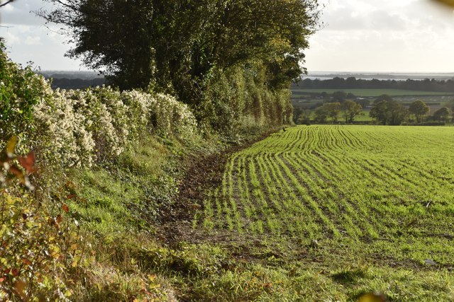
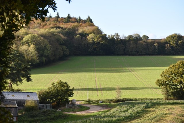
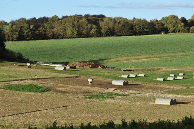
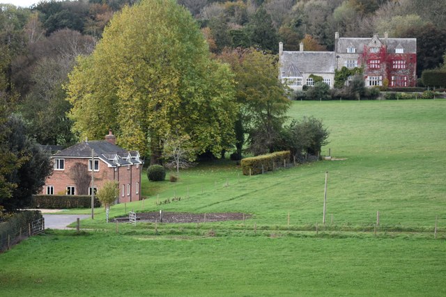
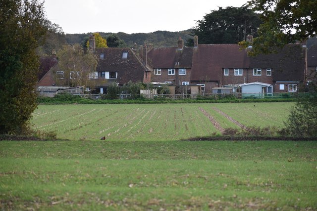
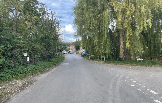
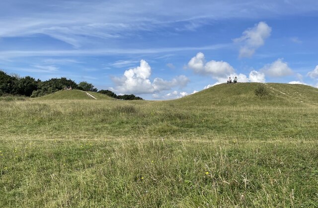
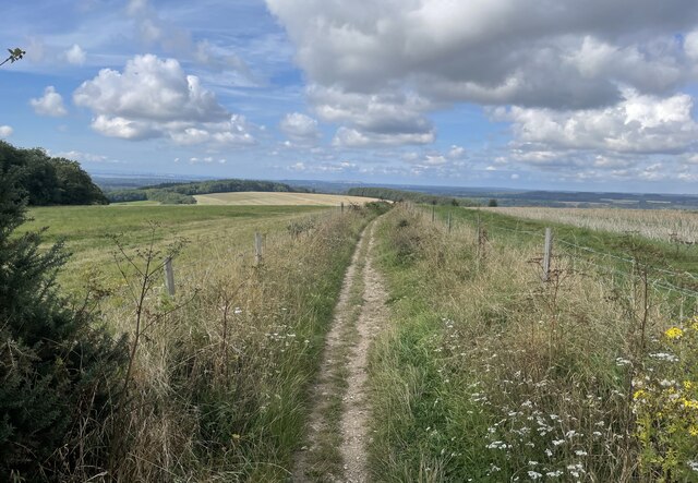
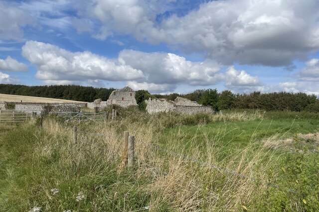
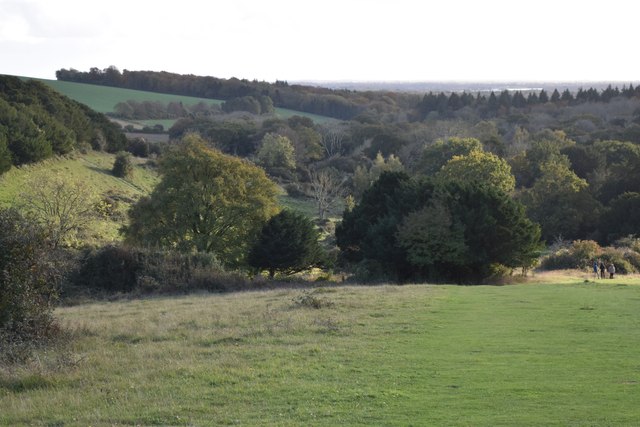
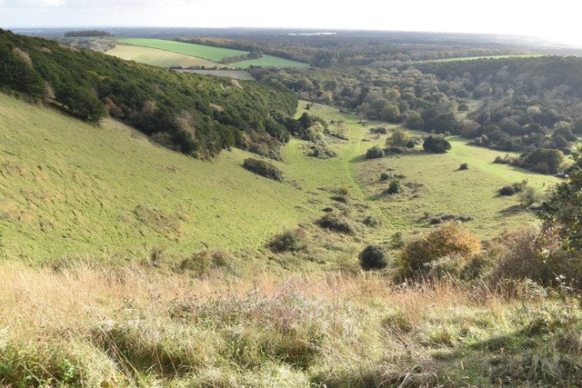
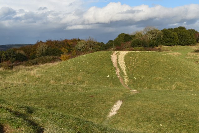
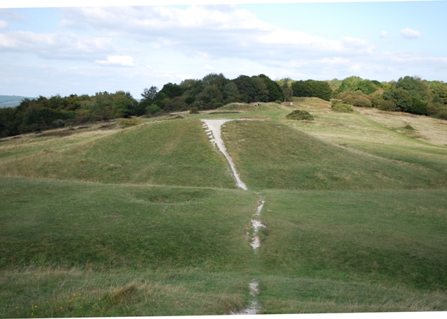
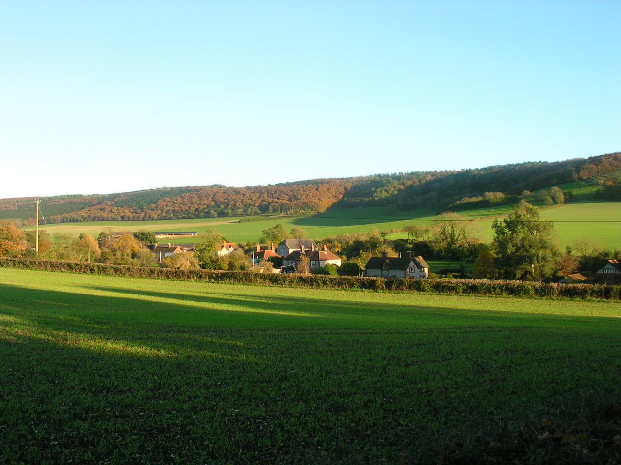
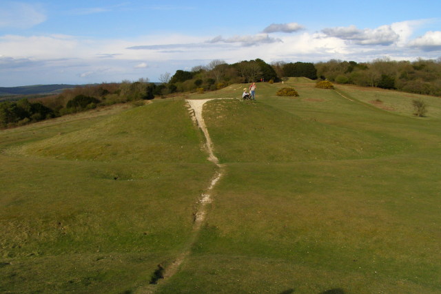
Funtington Down is a picturesque area located in the county of Sussex, England. Situated on the South Downs, it offers a stunning landscape of rolling hills, lush meadows, and sprawling moorlands. With its vast open spaces and panoramic views, Funtington Down is a popular destination for outdoor enthusiasts and nature lovers alike.
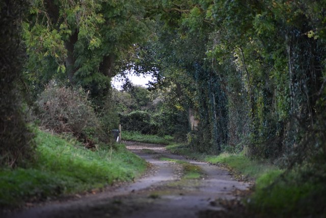
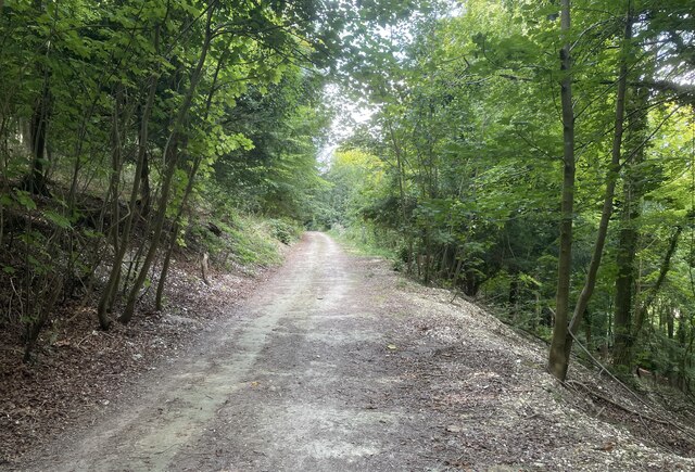
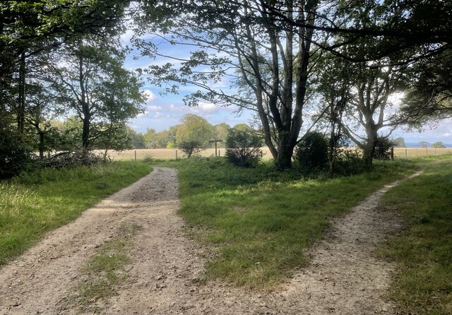
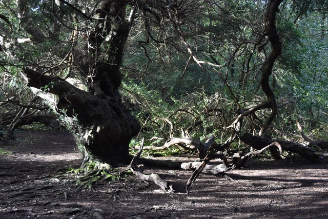
The area is home to a diverse range of flora and fauna, including rare plant species and various bird species. Walking trails crisscross the downs, providing visitors with ample opportunities to explore the natural beauty of the area. The well-maintained paths offer stunning vistas of the surrounding countryside, making it an ideal spot for photography enthusiasts.
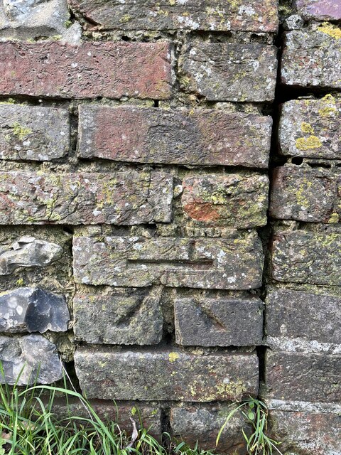
Funtington Down also boasts a rich history, as evidenced by the ancient burial mounds and Iron Age hillforts scattered throughout the landscape. These archaeological sites provide fascinating insights into the area's past, attracting history buffs from far and wide.
In addition to its natural and historical attractions, Funtington Down is known for its tranquil atmosphere. Away from the hustle and bustle of city life, the area offers a peaceful retreat for those seeking relaxation and rejuvenation.
Whether you're looking to immerse yourself in nature, delve into history, or simply unwind in a serene setting, Funtington Down in Sussex is a destination that promises to captivate visitors with its beauty and charm.
If you have any feedback on the listing, please let us know in the comments section below.
Funtington Down Images
Images are sourced within 2km of 50.880961/-0.85425019 or Grid Reference SU8009. Thanks to Geograph Open Source API. All images are credited.
Funtington Down is located at Grid Ref: SU8009 (Lat: 50.880961, Lng: -0.85425019)
Administrative County: West Sussex
District: Chichester
Police Authority: Sussex
What 3 Words
///passenger.dishes.slam. Near Bosham, West Sussex
Nearby Locations
Related Wikis
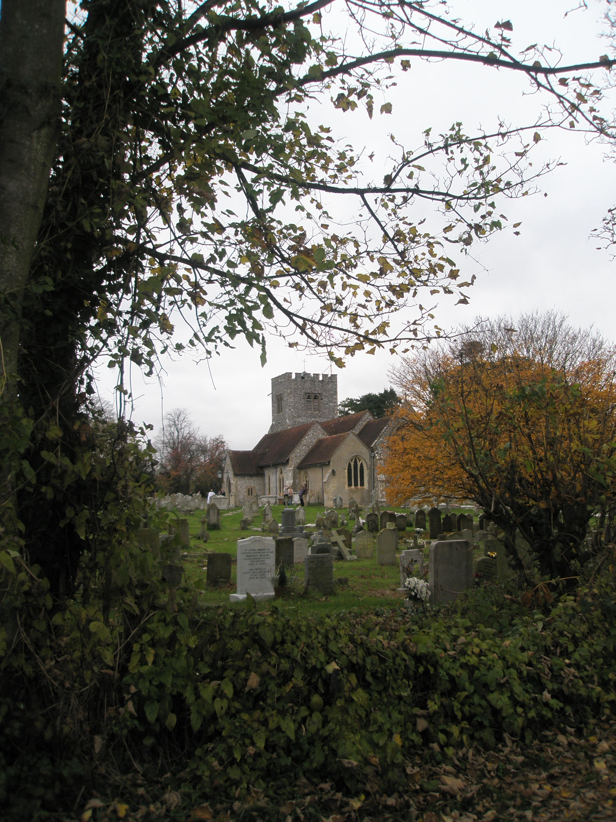
Funtington
Funtington is a village and civil parish in the Chichester district of West Sussex, England. It lies on the B2146 Road 4.5 miles (7.2 km) west of Chichester...
Devil's Humps, Stoughton
The Devil's Humps (also known as the Kings' Graves) are four Bronze Age barrows situated on Bow Hill on the South Downs near Stoughton, West Sussex. They...
Stoughton, West Sussex
Stoughton is a village and civil parish in the District of Chichester in West Sussex, England located nine kilometres (5.6 miles) north west of Chichester...

Walderton
Walderton is a hamlet in the Chichester district of West Sussex, England. It lies on the B2146 road 4 miles (6.4 km) northeast of Emsworth. It is in the...

Kingley Vale National Nature Reserve
Kingley Vale is a 204.4-hectare (505-acre) biological Site of Special Scientific Interest north of Chichester in West Sussex. It is also a Special Area...
Bow Hill, Sussex
Bow Hill is an elongated hill ridge, 206 metres (676 ft) high, and running roughly from north to south in the South Downs, in the county of West Sussex...

RAF Funtington
Royal Air Force Funtington or more simply RAF Funtington is a former Royal Air Force Advanced Landing Ground located in West Sussex, England. == History... ==

River Ems (Chichester Harbour)
The River Ems is a much-sluiced, six miles (9.7 km) river that is located in the far west of the county of West Sussex, England.The last one and a half...
Nearby Amenities
Located within 500m of 50.880961,-0.85425019Have you been to Funtington Down?
Leave your review of Funtington Down below (or comments, questions and feedback).