Funtington Plantation
Wood, Forest in Sussex Chichester
England
Funtington Plantation
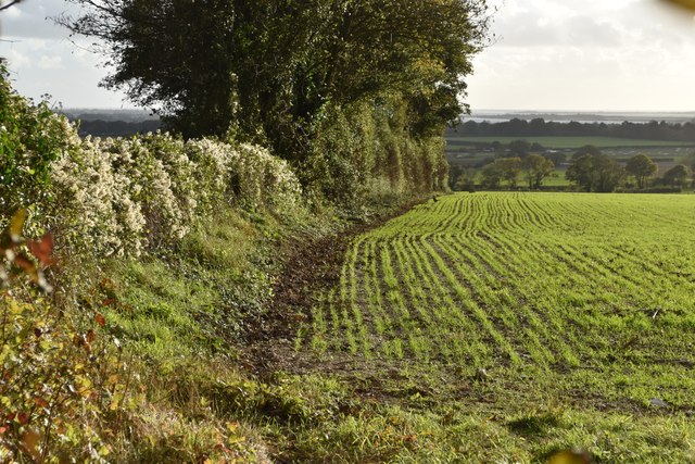
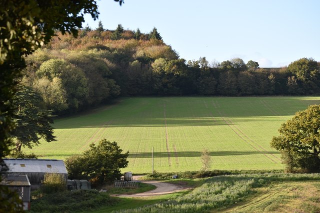
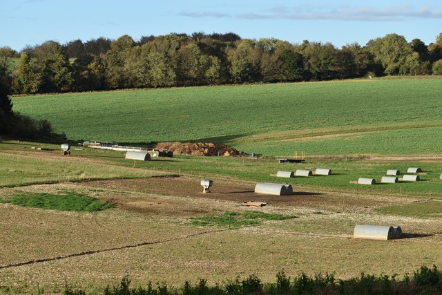
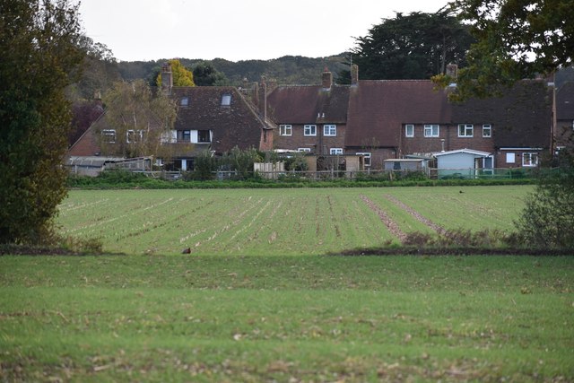
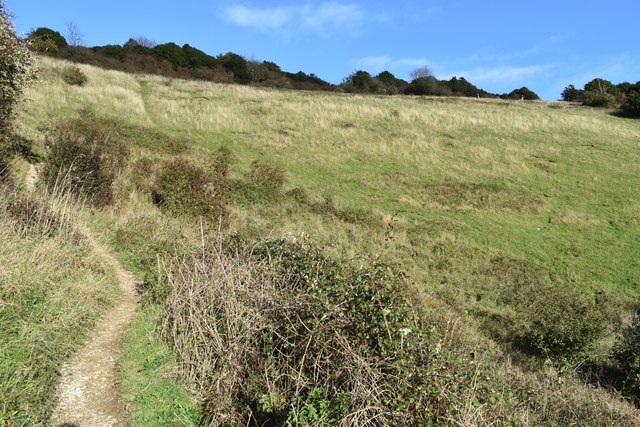
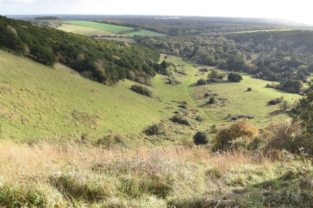
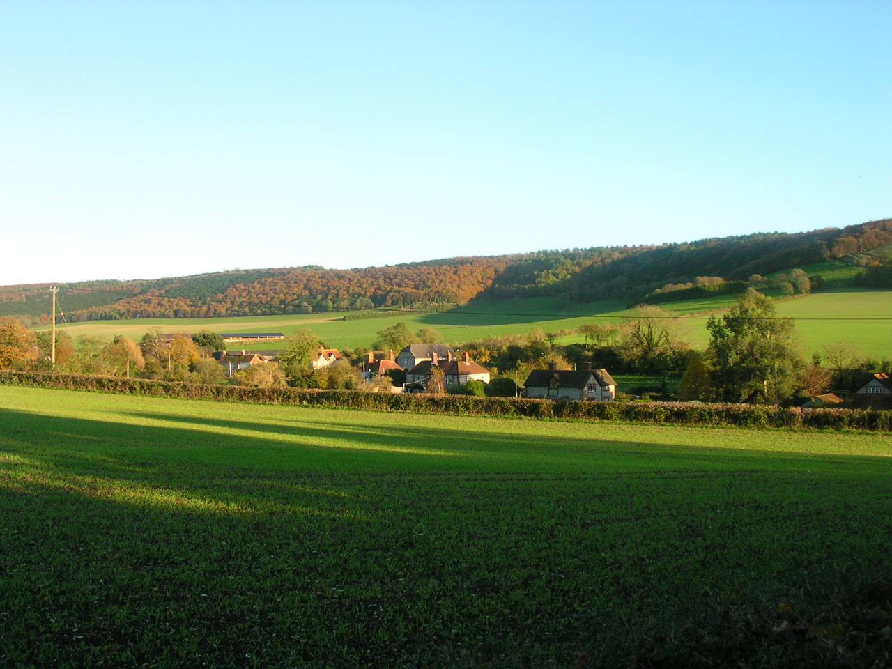
Funtington Plantation is a charming woodland area located in Sussex, England. Nestled amidst the beautiful countryside, it covers an expansive area of forested land, providing a haven for nature enthusiasts and outdoor enthusiasts alike.
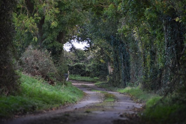
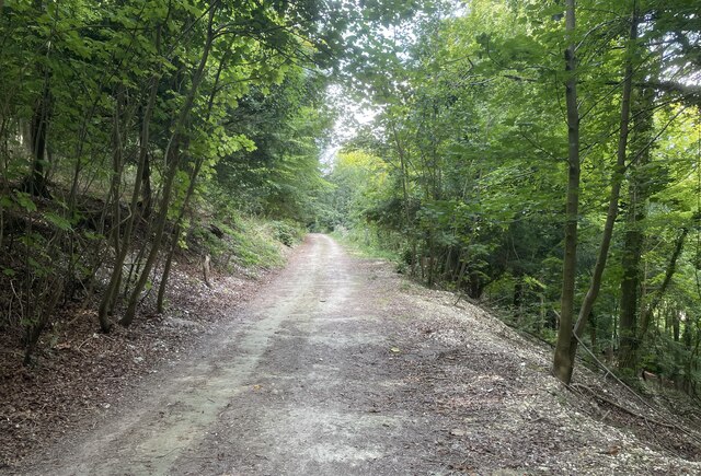
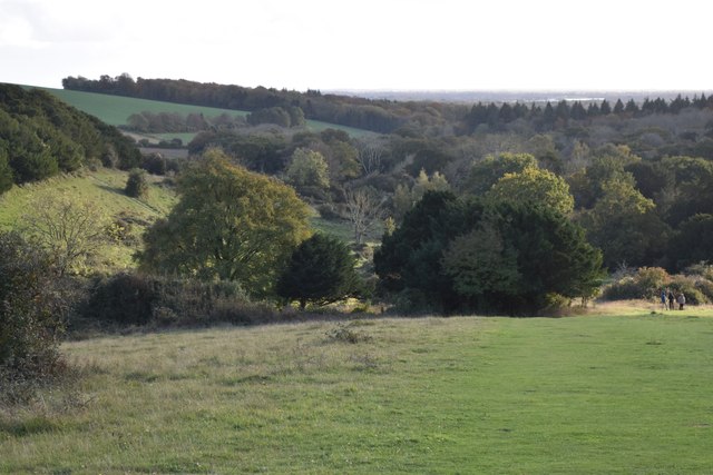
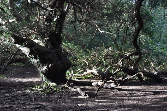
The plantation is renowned for its diverse range of tree species, including oak, beech, and birch, which create a picturesque and serene atmosphere. The woodland floor is adorned with a rich carpet of wildflowers, adding bursts of color to the landscape throughout the seasons.
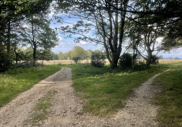
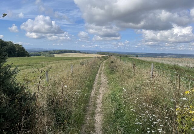
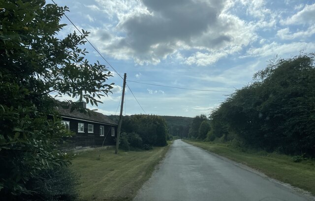
Nature lovers visiting Funtington Plantation can indulge in a variety of activities. Trails meander through the forest, offering opportunities for peaceful walks and hikes amidst the tranquil surroundings. The plantation is also home to numerous species of birds and wildlife, making it a popular destination for birdwatching and nature photography.
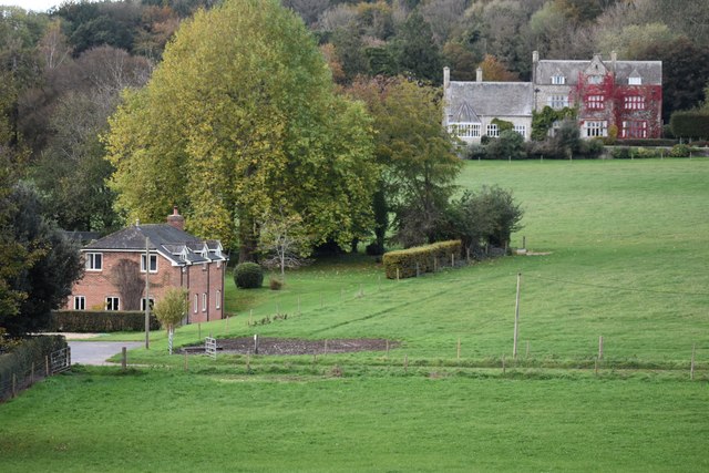
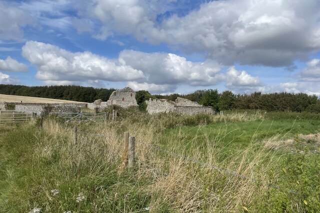
In addition to its natural beauty, Funtington Plantation boasts a rich historical significance. The area has a long history dating back to the medieval period, with records suggesting that it was once part of the hunting grounds for the aristocracy. Today, remnants of this history can still be seen in the form of ancient trees and stone structures dotted throughout the plantation.
Funtington Plantation is a true gem of Sussex, providing a peaceful retreat from the bustling city life. Its natural beauty, combined with its historical charm, makes it a must-visit destination for those seeking a serene escape in the heart of the English countryside.
If you have any feedback on the listing, please let us know in the comments section below.
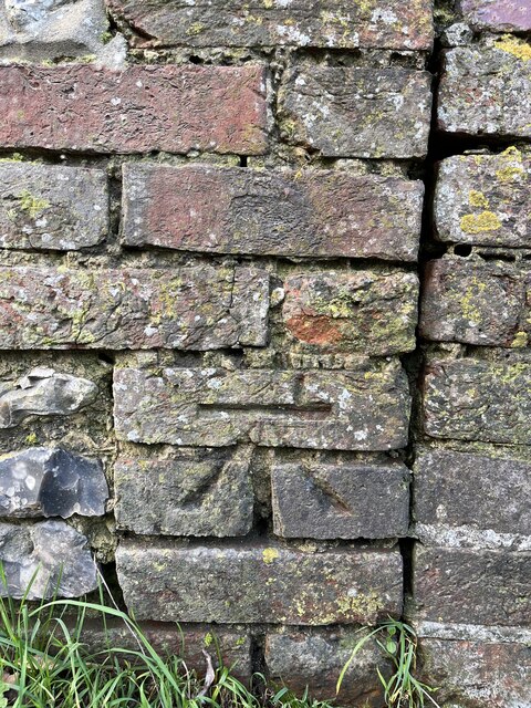
Funtington Plantation Images
Images are sourced within 2km of 50.881656/-0.85367873 or Grid Reference SU8009. Thanks to Geograph Open Source API. All images are credited.
Funtington Plantation is located at Grid Ref: SU8009 (Lat: 50.881656, Lng: -0.85367873)
Administrative County: West Sussex
District: Chichester
Police Authority: Sussex
What 3 Words
///tagging.serenade.fleet. Near Bosham, West Sussex
Nearby Locations
Related Wikis
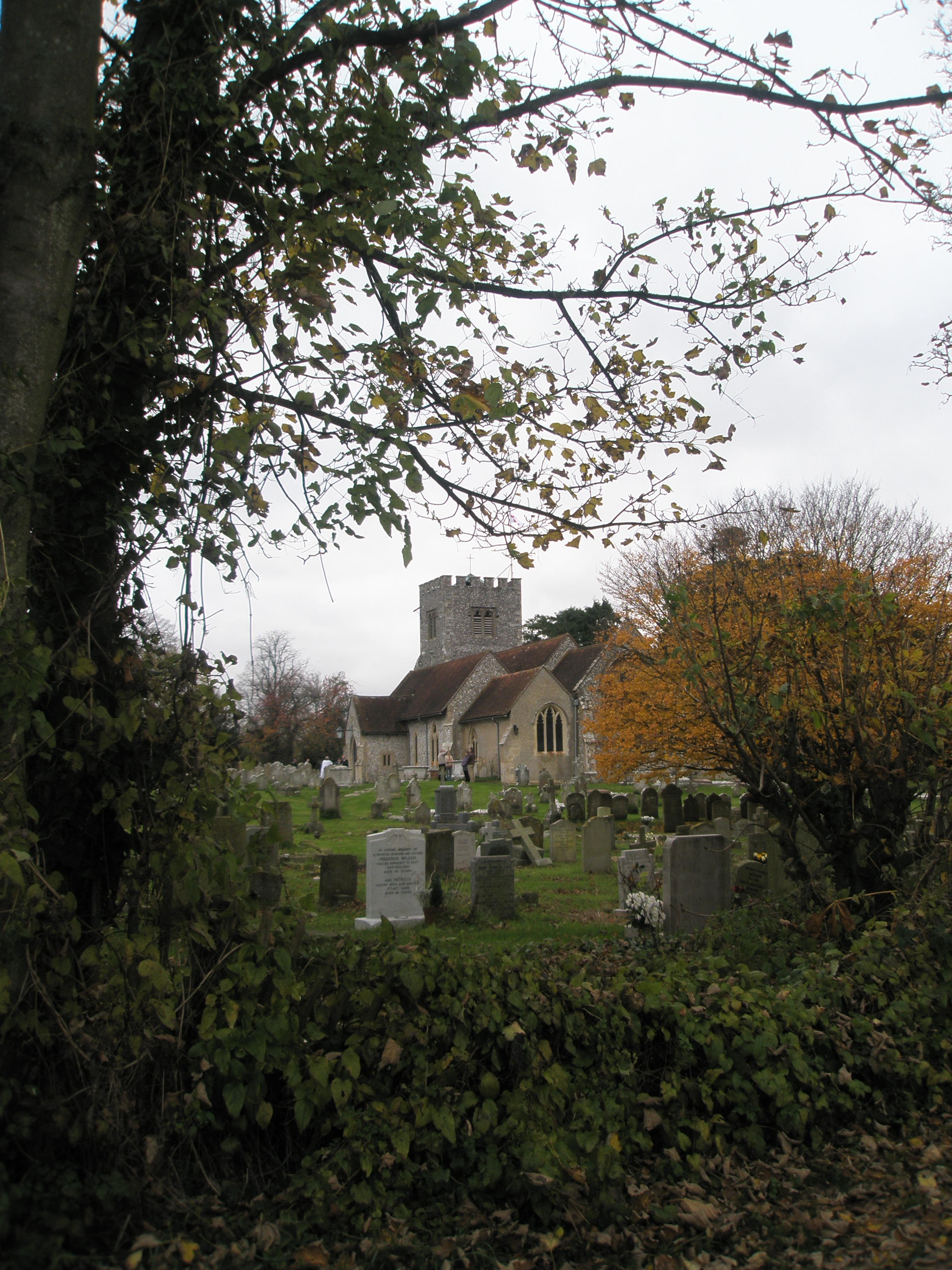
Funtington
Funtington is a village and civil parish in the Chichester district of West Sussex, England. It lies on the B2146 Road 4.5 miles (7.2 km) west of Chichester...
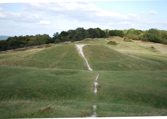
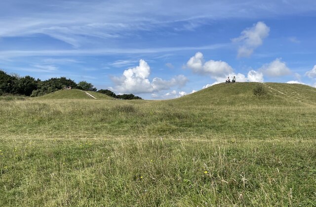
Devil's Humps, Stoughton
The Devil's Humps (also known as the Kings' Graves) are four Bronze Age barrows situated on Bow Hill on the South Downs near Stoughton, West Sussex. They...
Stoughton, West Sussex
Stoughton is a village and civil parish in the District of Chichester in West Sussex, England located nine kilometres (5.6 miles) north west of Chichester...

Walderton
Walderton is a hamlet in the Chichester district of West Sussex, England. It lies on the B2146 road 4 miles (6.4 km) northeast of Emsworth. It is in the...

Kingley Vale National Nature Reserve
Kingley Vale is a 204.4-hectare (505-acre) biological Site of Special Scientific Interest north of Chichester in West Sussex. It is also a Special Area...
Bow Hill, Sussex
Bow Hill is an elongated hill ridge, 206 metres (676 ft) high, and running roughly from north to south in the South Downs, in the county of West Sussex...

RAF Funtington
Royal Air Force Funtington or more simply RAF Funtington is a former Royal Air Force Advanced Landing Ground located in West Sussex, England. == History... ==

River Ems (Chichester Harbour)
The River Ems is a much-sluiced, six miles (9.7 km) river that is located in the far west of the county of West Sussex, England.The last one and a half...
Nearby Amenities
Located within 500m of 50.881656,-0.85367873Have you been to Funtington Plantation?
Leave your review of Funtington Plantation below (or comments, questions and feedback).