White Gate Plantation

Wood, Forest in Yorkshire Ryedale

England

White Gate Plantation

Bridleway from Langton Road Connecting Langton Road and Beverley Road.
Bridleway from Langton Road Credit: DS Pugh

White Gate Plantation is a picturesque and historic estate located in Yorkshire, England. Situated amidst the serene woodlands and lush forests of the region, it spans over a vast area, providing a tranquil oasis for nature enthusiasts and history lovers alike.

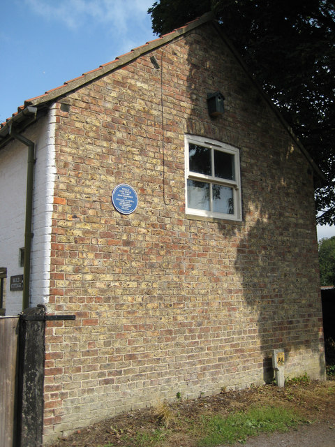
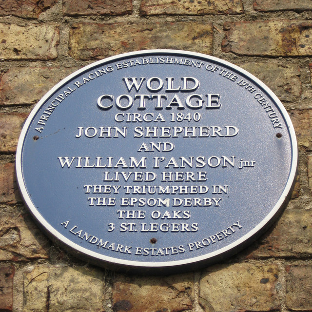
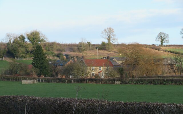
The plantation boasts a rich history that dates back several centuries. Originally established in the 18th century, it served as a working farm and timber plantation. Over time, it evolved into a grand estate, with a magnificent manor house that stands as the centerpiece of the property. The manor, built in the Georgian architectural style, exudes elegance and charm, showcasing intricate details and stunning craftsmanship.

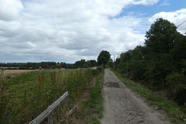
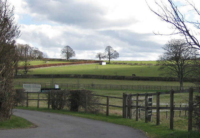
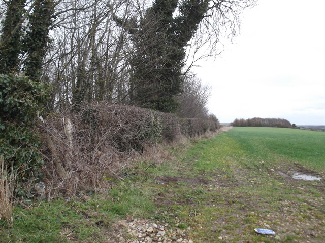
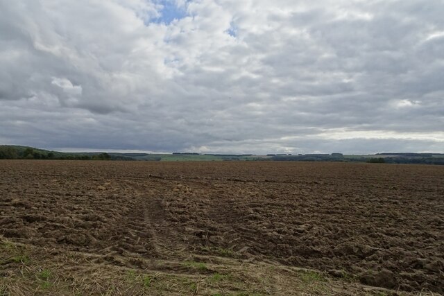
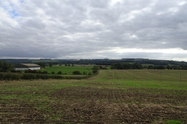
The surrounding woodlands and forests of White Gate Plantation are a haven for wildlife and offer a myriad of outdoor activities. Visitors can explore the numerous walking trails that wind through the estate, providing opportunities for hiking, birdwatching, and wildlife spotting. The diverse range of flora and fauna found within the plantation adds to its natural beauty and appeal.

In addition to its natural wonders, White Gate Plantation also offers a glimpse into the region's past. The estate features a museum that showcases artifacts and exhibits detailing the plantation's history and its role in the local community. Visitors can learn about the lives of the people who lived and worked on the estate, gaining insights into the area's agricultural and cultural heritage.

White Gate Plantation is a captivating destination that seamlessly blends history, nature, and tranquility. Whether strolling through the enchanting woodlands or immersing oneself in the estate's fascinating past, visitors are guaranteed an unforgettable experience in this idyllic Yorkshire gem.

If you have any feedback on the listing, please let us know in the comments section below.

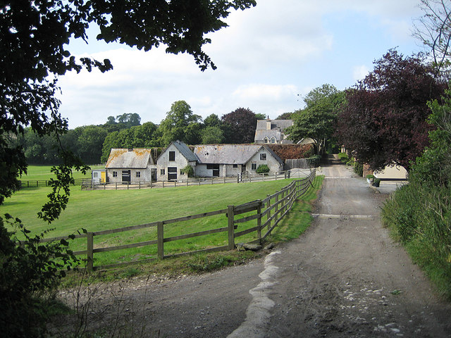
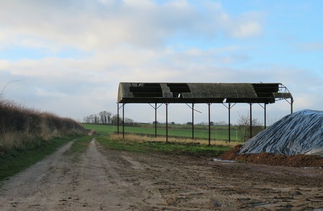
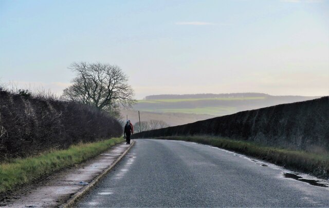
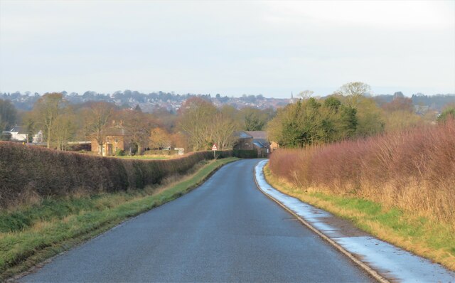
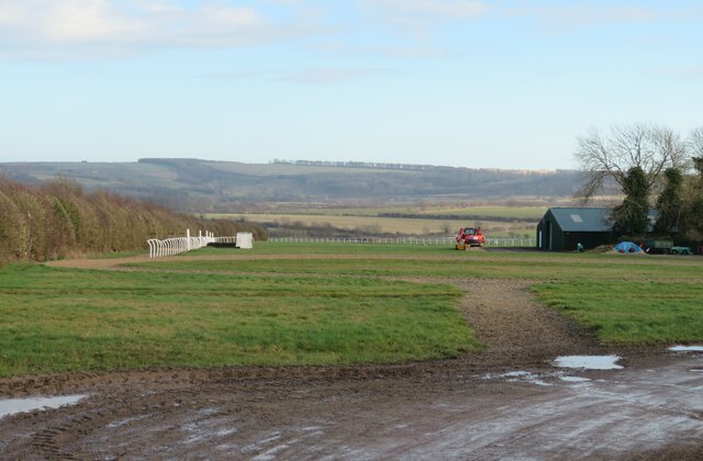
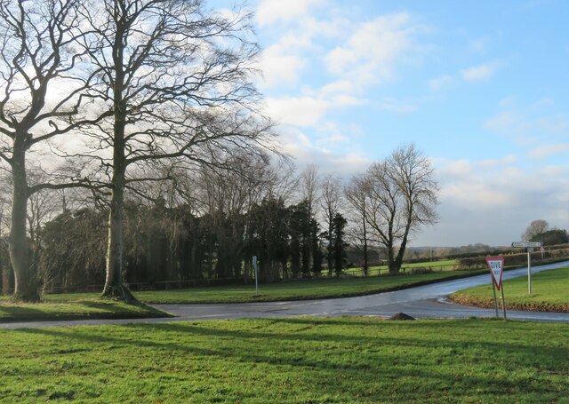
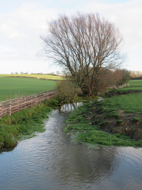
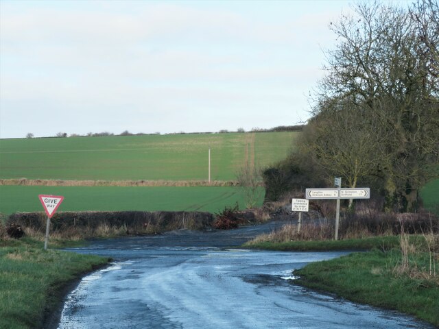
White Gate Plantation Images

Images are sourced within 2km of 54.103255/-0.76665727 or Grid Reference SE8068. Thanks to Geograph Open Source API. All images are credited.

Bridleway from Langton Road Connecting Langton Road and Beverley Road.
Bridleway from Langton Road
Connecting Langton Road and Beverley Road.
Grazing land By the drive to Highfield.
Grazing land
By the drive to Highfield.
Cottage with blue plaque Wold Cottage, circa 1840, home to two successful jockeys. See detail <a href="https://www.geograph.org.uk/photo/3620851">SE8070 : John Shepherd and William I'anson Jnr</a>
Cottage with blue plaque
Wold Cottage, circa 1840, home to two successful jockeys. See detail SE8070 : John Shepherd and William I'anson Jnr
John Shepherd and William I'anson Jnr Blue plaque on Wold Cottage, celebrating the achievements of the above named jockeys.
John Shepherd and William I'anson Jnr
Blue plaque on Wold Cottage, celebrating the achievements of the above named jockeys.
Bridleway near Howe Hill There are many racing stables in the area.
Bridleway near Howe Hill
There are many racing stables in the area.
Spot the difference I note that at least two other contributors have photographed this decaying barn, so anyone viewing this photo can compare with the others to see how many more panels of corrugated iron have disappeared from the roof. At least the manure heap looks considerably tidier.
Spot the difference
I note that at least two other contributors have photographed this decaying barn, so anyone viewing this photo can compare with the others to see how many more panels of corrugated iron have disappeared from the roof. At least the manure heap looks considerably tidier.
Langton Road heading south east Langton Road is crossing Langton Wold at this point close to the 100m mark above sea level, but the main Wolds are in the distance and are of chalk. Langton Wold forms part of the gently rolling country on the west side of the chalk wolds, and here the underlying rock is a Jurassic limestone of the coralline oolite formation.
Langton Road heading south east
Langton Road is crossing Langton Wold at this point close to the 100m mark above sea level, but the main Wolds are in the distance and are of chalk. Langton Wold forms part of the gently rolling country on the west side of the chalk wolds, and here the underlying rock is a Jurassic limestone of the coralline oolite formation.
Langton Road towards Norton Heading gently downhill towards the edge of Norton. The spire of St Leonard's church in Malton can be seen above the trees to the right of the road.
Langton Road towards Norton
Heading gently downhill towards the edge of Norton. The spire of St Leonard's church in Malton can be seen above the trees to the right of the road.
Gallops off Langton Road The area around Norton is racehorse country and these are some of the training gallops that dot the neighbourhood.
Gallops off Langton Road
The area around Norton is racehorse country and these are some of the training gallops that dot the neighbourhood.
Langton Cross Roads Two minor roads cross here at a junction with wide verges and good sight lines.
Langton Cross Roads
Two minor roads cross here at a junction with wide verges and good sight lines.
Mill Beck Looking upstream from Toftings Bridge, the beck looking swollen after recent rains.
Mill Beck
Looking upstream from Toftings Bridge, the beck looking swollen after recent rains.
Junction ahead A junction of minor roads with Langton to the left and North Grimston to the right. Ahead is what must have been a continuation of this lane leading up to the junction, as a right of way continues onwards as Langton Lane all the way to Settrington. However it is overgrown and unsuitable for vehicles.
Junction ahead
A junction of minor roads with Langton to the left and North Grimston to the right. Ahead is what must have been a continuation of this lane leading up to the junction, as a right of way continues onwards as Langton Lane all the way to Settrington. However it is overgrown and unsuitable for vehicles.
Grimston Fields Farm The farm is situated on the south side of a low ridge which is an eastwards extension of Langton Wold.
Grimston Fields Farm
The farm is situated on the south side of a low ridge which is an eastwards extension of Langton Wold.
Field edge near Langton
Langton crossroads
Langton crossroads
Entrance to Grimston Fields Farm
Whin Fields Farmland south of Cordike Lane.
Whin Fields
Farmland south of Cordike Lane.
Butt Lands Looking across farmland near East Farm to the south or Cordike Lane.
Butt Lands
Looking across farmland near East Farm to the south or Cordike Lane.
Show me another place!

White Gate Plantation is located at Grid Ref: SE8068 (Lat: 54.103255, Lng: -0.76665727)

Division: East Riding

Administrative County: North Yorkshire

District: Ryedale

Police Authority: North Yorkshire

What 3 Words

///ranged.paces.reefs. Near Norton, North Yorkshire

Related Wikis

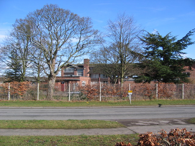
Woodleigh School, North Yorkshire

Woodleigh School was a preparatory school for boys and girls aged 3 to 13, located in the village of Langton, North Yorkshire, England. It was established...

Langton, North Yorkshire

Langton is a village and civil parish in North Yorkshire, England. It is situated 3.5 miles (6 km) south from the market town of Malton. The population...

Norton College

Norton College is a mixed secondary school, sixth form and specialist humanities college with academy status in Norton, North Yorkshire, England. There...

Malton School

Malton School is an 11-18 mixed comprehensive school of some 800 pupils (2021), serving the market town of Malton and the surrounding area in Ryedale,...

Nearby Amenities

Located within 500m of 54.103255,-0.76665727
Place: farm
Lat/Long: 54.1049325/-0.7684841
The data included in this document is from www.openstreetmap.org. The data is made available under ODbL.

Have you been to White Gate Plantation?

Leave your review of White Gate Plantation below (or comments, questions and feedback).