Buskey Wood
Wood, Forest in Lincolnshire
England
Buskey Wood
Buskey Wood is a picturesque forest located in the county of Lincolnshire, England. Spanning an area of approximately 500 acres, it is known for its dense foliage, diverse wildlife, and tranquil ambiance. The wood is situated in close proximity to the charming village of Buskey, which lends its name to the woodland.
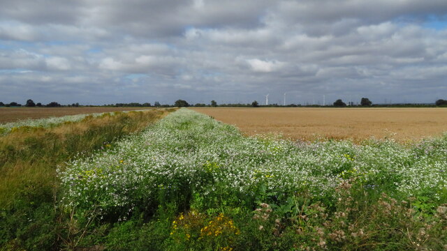
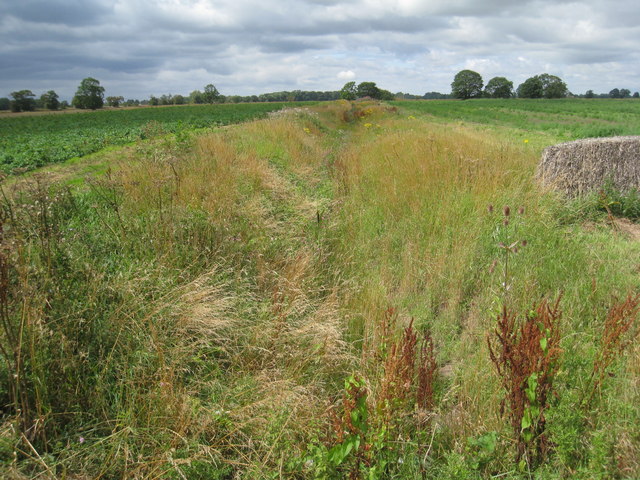
As visitors step into Buskey Wood, they are immediately greeted by a canopy of majestic oak, beech, and ash trees that tower overhead. The forest floor is carpeted with a rich variety of flora, including bluebells, wood anemones, and wild garlic, creating a vibrant and colorful landscape during the spring and summer months. The wood is also home to several ancient trees that have stood the test of time, their gnarled trunks adding a sense of history and enchantment to the surroundings.
Nature enthusiasts will be delighted to spot a diverse range of wildlife within Buskey Wood. Deer can often be seen grazing in the open areas, while squirrels scurry through the treetops, gathering food for the winter. Birdwatchers will have the opportunity to observe species such as woodpeckers, owls, and various songbirds, as they make their homes in the wood.
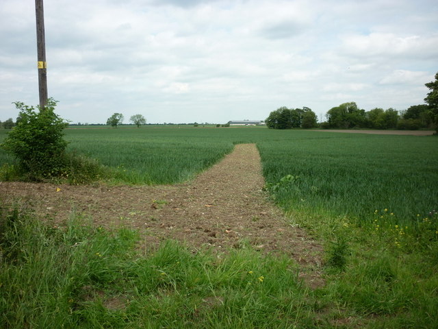
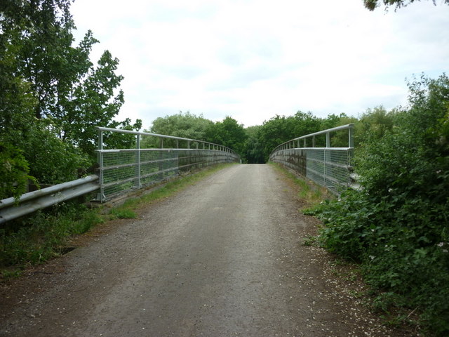
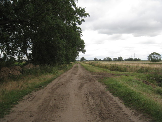
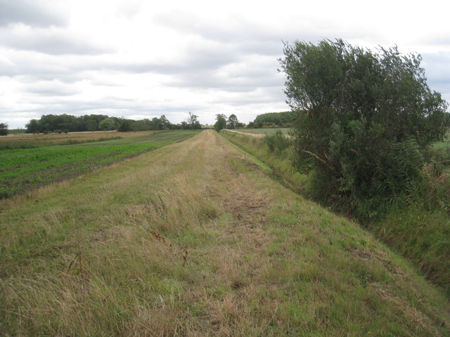
The wood offers a network of well-maintained walking trails, allowing visitors to explore its beauty at their own pace. These trails wind through the forest, leading to hidden glades, babbling brooks, and secluded picnic spots. The peaceful atmosphere and abundant natural beauty make Buskey Wood a popular destination for families, hikers, and nature lovers alike.
In conclusion, Buskey Wood is a captivating woodland in Lincolnshire, offering a haven of tranquility and natural beauty. Its lush vegetation, diverse wildlife, and well-maintained walking trails make it a delightful place to explore and appreciate the wonders of the English countryside.
If you have any feedback on the listing, please let us know in the comments section below.
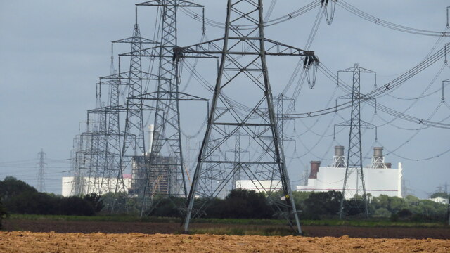
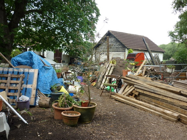
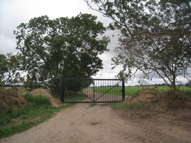
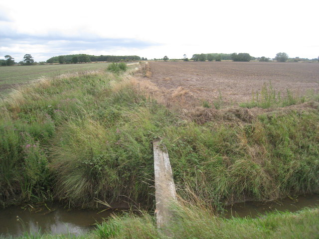
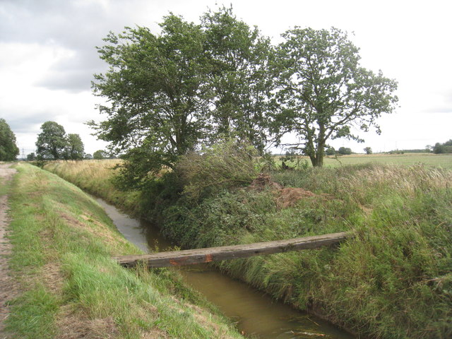
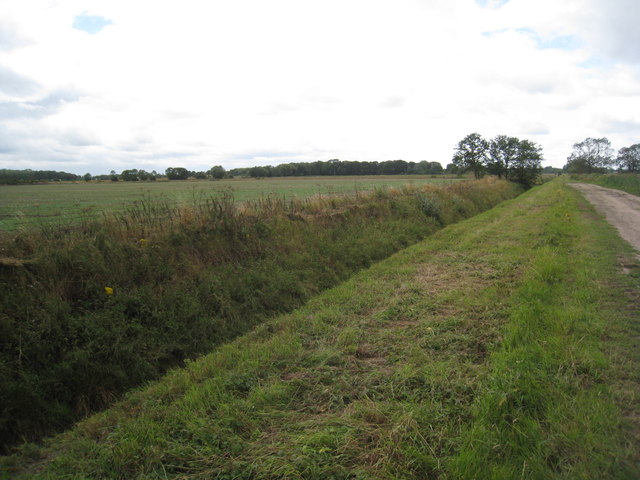
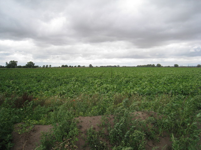
Buskey Wood Images
Images are sourced within 2km of 53.559496/-0.78275363 or Grid Reference SE8007. Thanks to Geograph Open Source API. All images are credited.


Buskey Wood is located at Grid Ref: SE8007 (Lat: 53.559496, Lng: -0.78275363)
Unitary Authority: North Lincolnshire
Police Authority: Humberside
What 3 Words
///corrode.political.revision. Near Belton, Lincolnshire
Nearby Locations
Related Wikis

Brigg and Goole (UK Parliament constituency)
Brigg and Goole is a constituency in Yorkshire and Lincolnshire represented in the House of Commons of the UK Parliament since 2010 by Andrew Percy, a...

Isle of Axholme Rural District
Isle of Axholme was a rural district in Lincolnshire, Parts of Lindsey from 1894 to 1974. It was formed under the Local Government Act 1894 based on the...
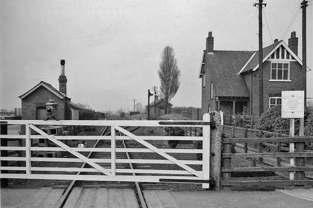
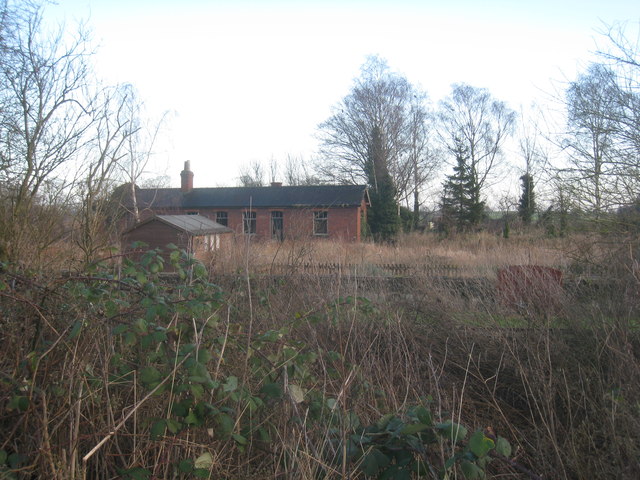
Belton railway station
Belton railway station was a station that served the village of Belton on the Isle of Axholme in Lincolnshire, England on the Axholme Joint Railway....

Beltoft
Beltoft is a hamlet in the civil parish of Belton , North Lincolnshire, England. The village lies within the Isle of Axholme and is 4 miles (6 km) south...
Nearby Amenities
Located within 500m of 53.559496,-0.78275363Have you been to Buskey Wood?
Leave your review of Buskey Wood below (or comments, questions and feedback).