Adsdean Down
Downs, Moorland in Sussex Chichester
England
Adsdean Down
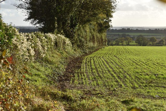
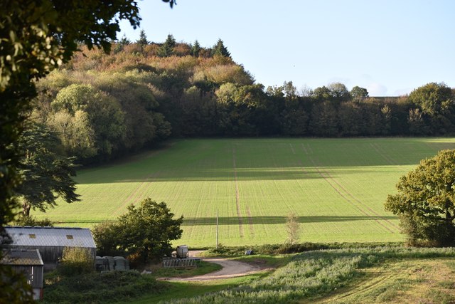
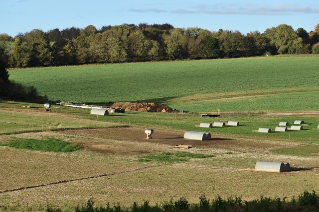
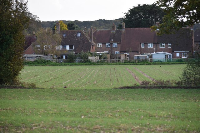
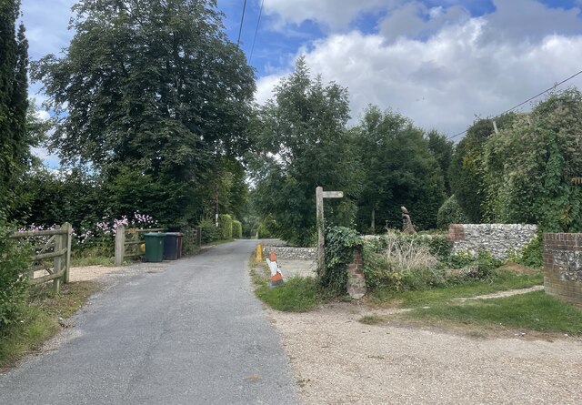
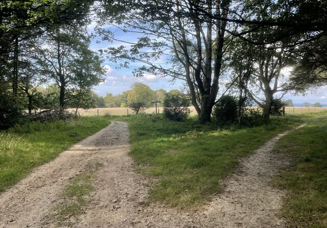
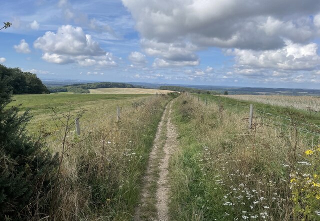
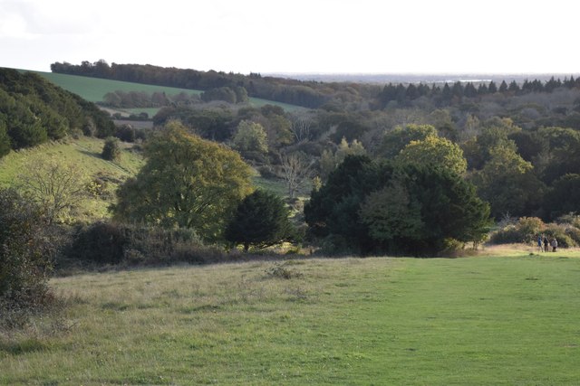
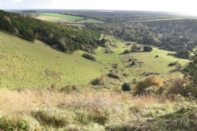
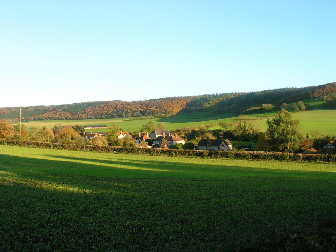
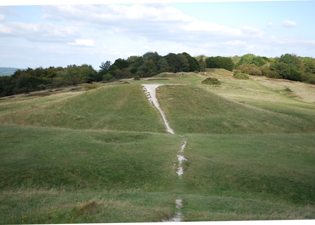
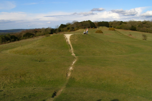
Adsdean Down is a stunning natural landscape located in the county of Sussex, England. It is a part of the South Downs National Park, known for its breathtaking beauty and diverse ecosystems. Covering an area of approximately 2,000 acres, Adsdean Down is characterized by its rolling hills, open grassland, and charming moorland.
The landscape of Adsdean Down is a tapestry of vibrant colors throughout the year. In spring and summer, the downs come alive with a kaleidoscope of wildflowers, including orchids, cowslips, and harebells. This vibrant display attracts a wide range of butterflies, bees, and other pollinators.
The downland is also home to several species of birds, making it a paradise for birdwatchers. Skylarks, meadow pipits, and yellowhammers can be spotted soaring above the grassy expanses, while kestrels and buzzards gracefully glide through the sky.
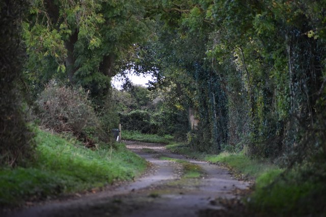
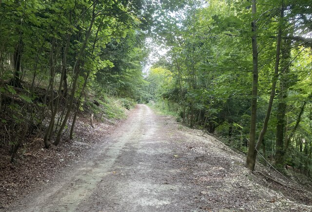
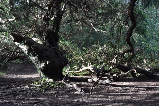
The moorland area of Adsdean Down offers a distinct landscape, characterized by heather-covered hills and scattered trees. It provides a habitat for unique wildlife, such as adders, lizards, and rare reptiles. The moorland offers a sense of tranquility and solitude, making it a popular destination for nature enthusiasts and hikers seeking to explore its hidden gems.
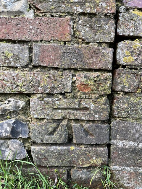
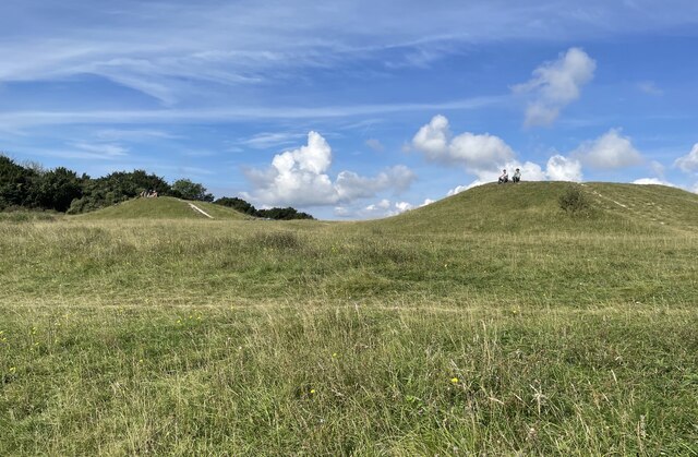
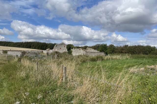
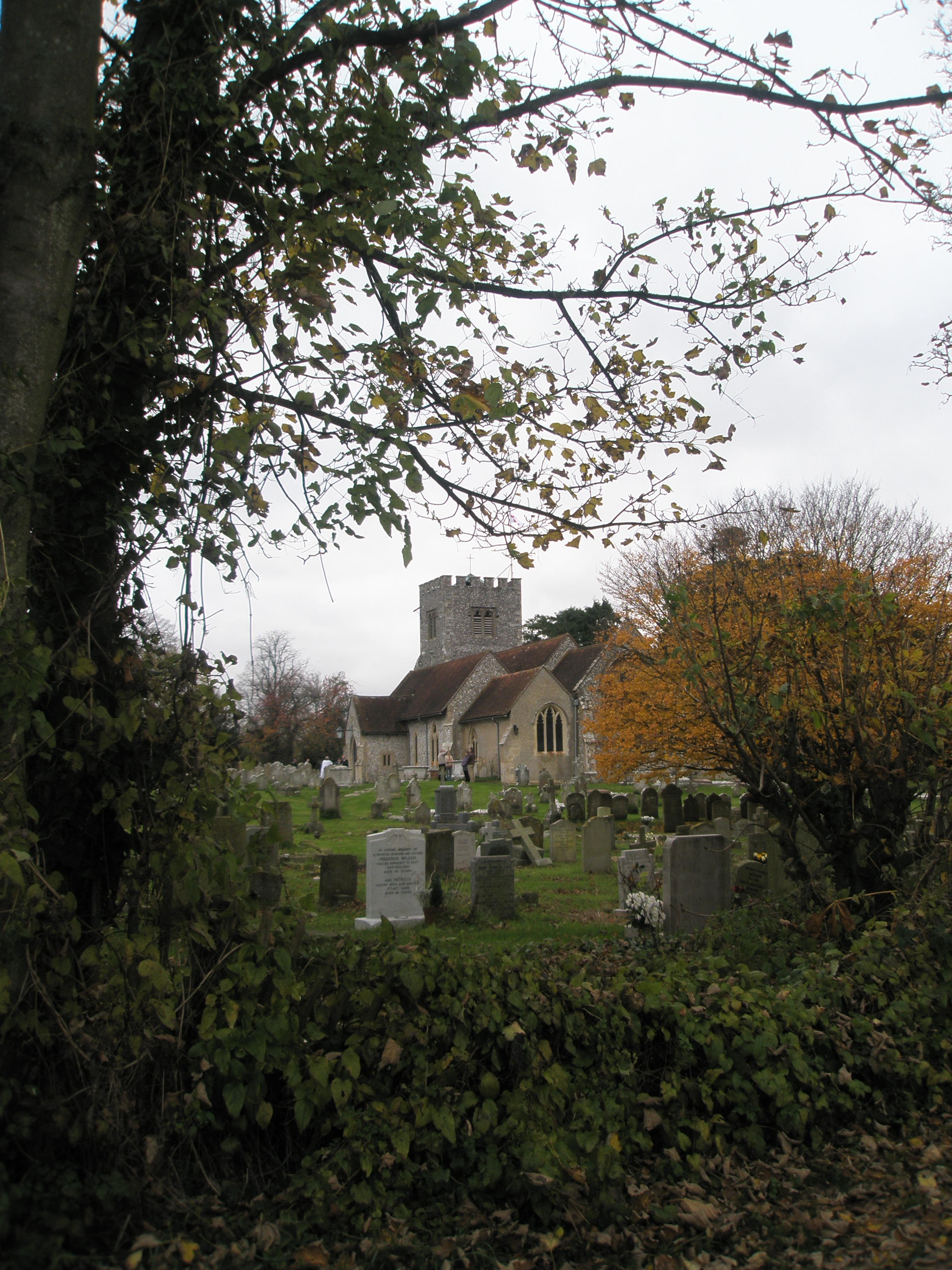
Adsdean Down is not only a haven for wildlife but also a place of historical significance. It boasts ancient archaeological sites, including Bronze Age burial mounds and Iron Age hillforts, adding an extra layer of intrigue to this already captivating landscape.
Overall, Adsdean Down is an exceptional natural treasure, offering visitors a chance to immerse themselves in the beauty of the Sussex countryside and discover the wonders of its diverse ecosystems.
If you have any feedback on the listing, please let us know in the comments section below.
Adsdean Down Images
Images are sourced within 2km of 50.884075/-0.85725868 or Grid Reference SU8010. Thanks to Geograph Open Source API. All images are credited.
Adsdean Down is located at Grid Ref: SU8010 (Lat: 50.884075, Lng: -0.85725868)
Administrative County: West Sussex
District: Chichester
Police Authority: Sussex
What 3 Words
///nags.prominent.penny. Near Bosham, West Sussex
Nearby Locations
Related Wikis
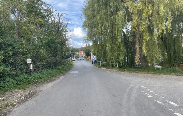
Stoughton, West Sussex
Stoughton is a village and civil parish in the District of Chichester in West Sussex, England located nine kilometres (5.6 miles) north west of Chichester...

Walderton
Walderton is a hamlet in the Chichester district of West Sussex, England. It lies on the B2146 road 4 miles (6.4 km) northeast of Emsworth. It is in the...
Funtington
Funtington is a village and civil parish in the Chichester district of West Sussex, England. It lies on the B2146 Road 4.5 miles (7.2 km) west of Chichester...
Devil's Humps, Stoughton
The Devil's Humps (also known as the Kings' Graves) are four Bronze Age barrows situated on Bow Hill on the South Downs near Stoughton, West Sussex. They...

Kingley Vale National Nature Reserve
Kingley Vale is a 204.4-hectare (505-acre) biological Site of Special Scientific Interest north of Chichester in West Sussex. It is also a Special Area...

River Ems (Chichester Harbour)
The River Ems is a much-sluiced, six miles (9.7 km) river that is located in the far west of the county of West Sussex, England.The last one and a half...
Bow Hill, Sussex
Bow Hill is an elongated hill ridge, 206 metres (676 ft) high, and running roughly from north to south in the South Downs, in the county of West Sussex...
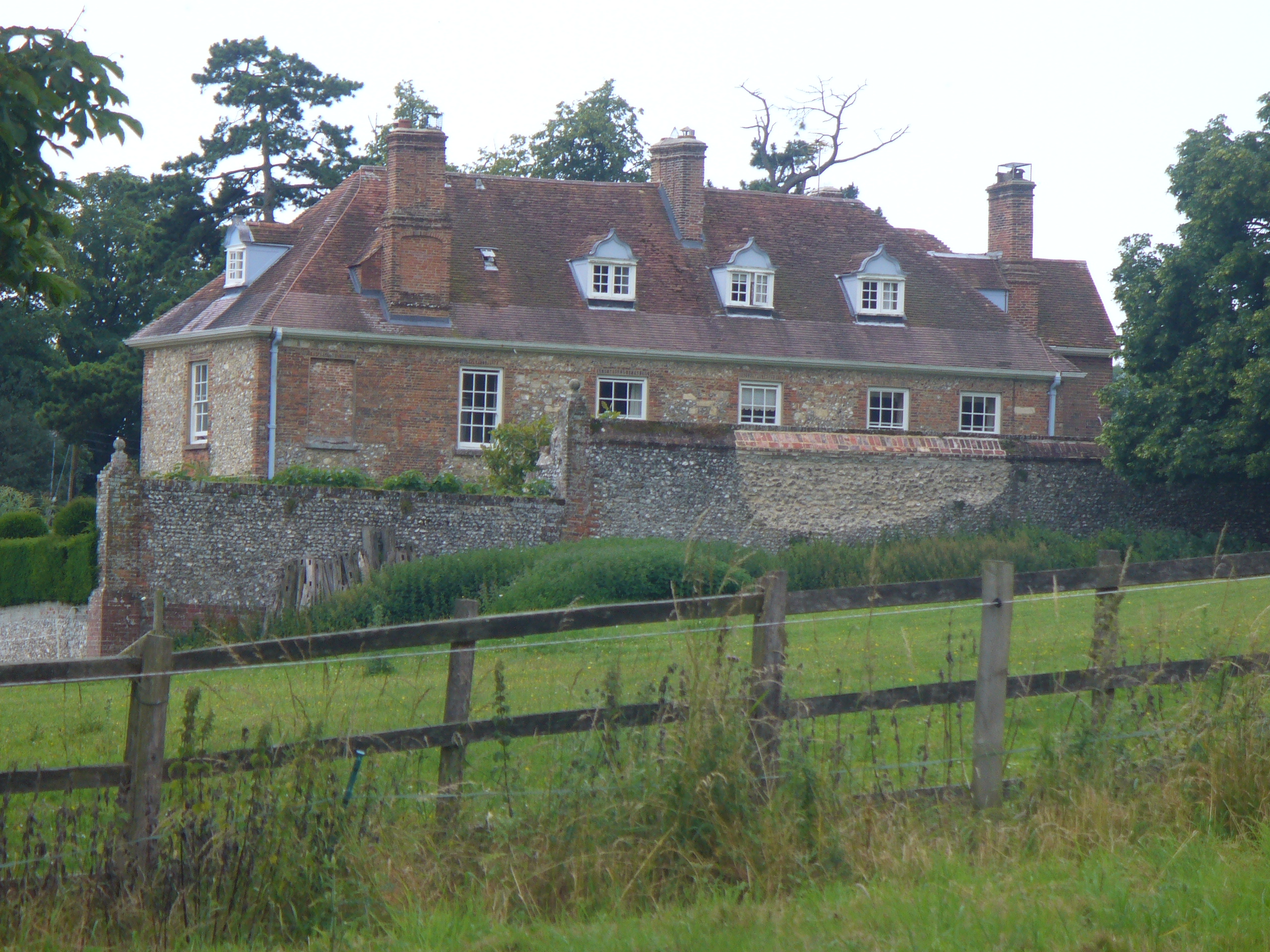
Lordington House
Lordington House is a manor house near Walderton in West Sussex. It is a Grade II* listed building. == History == Lordington House was built around 1500...
Nearby Amenities
Located within 500m of 50.884075,-0.85725868Have you been to Adsdean Down?
Leave your review of Adsdean Down below (or comments, questions and feedback).