Purse Moor
Downs, Moorland in Yorkshire Scarborough
England
Purse Moor

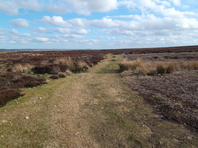
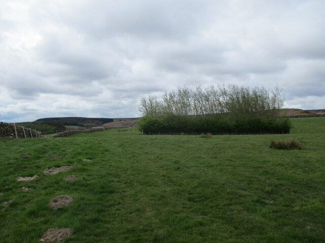
Purse Moor, located in the county of Yorkshire in England, is a picturesque expanse of moorland that captivates visitors with its natural beauty and rugged charm. Situated in the Yorkshire Dales National Park, the moor covers an area of approximately 7 square miles and is part of the larger North York Moors National Park.
Characterized by its rolling hills, open landscapes, and heather-covered moors, Purse Moor offers a haven for wildlife and outdoor enthusiasts alike. The moorland is home to a diverse range of flora and fauna, including rare species such as the golden plover and curlew. Visitors can witness these magnificent creatures in their natural habitat while exploring the numerous walking trails that crisscross the area.
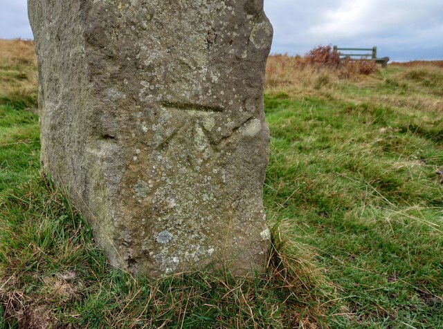
The moorland is also dotted with ancient archaeological sites, evidence of human habitation dating back thousands of years. Bronze Age burial mounds and stone circles can be found, offering a fascinating glimpse into the region's rich and varied history.
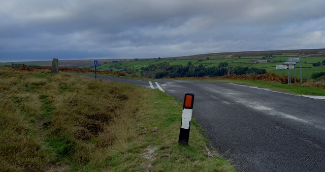
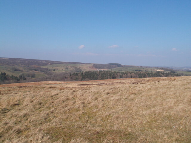
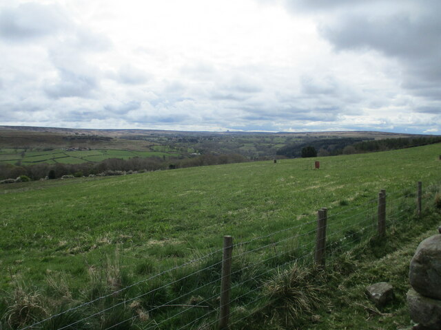
Aside from its natural and historical significance, Purse Moor also provides a stunning panoramic view of the surrounding countryside. Visitors can marvel at the sweeping vistas of the Yorkshire Dales and the North York Moors, taking in the beauty of the lush green valleys and dramatic cliffs that stretch into the distance.
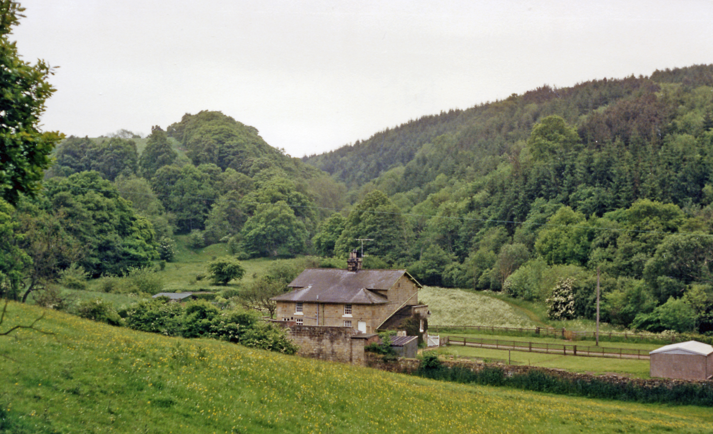
Purse Moor is a sanctuary for those seeking solitude and tranquility, offering a serene escape from the hustle and bustle of everyday life. Its unique blend of natural wonders and historical treasures makes it a must-visit destination for nature lovers, history buffs, and anyone looking to immerse themselves in the breathtaking landscapes of Yorkshire.
If you have any feedback on the listing, please let us know in the comments section below.
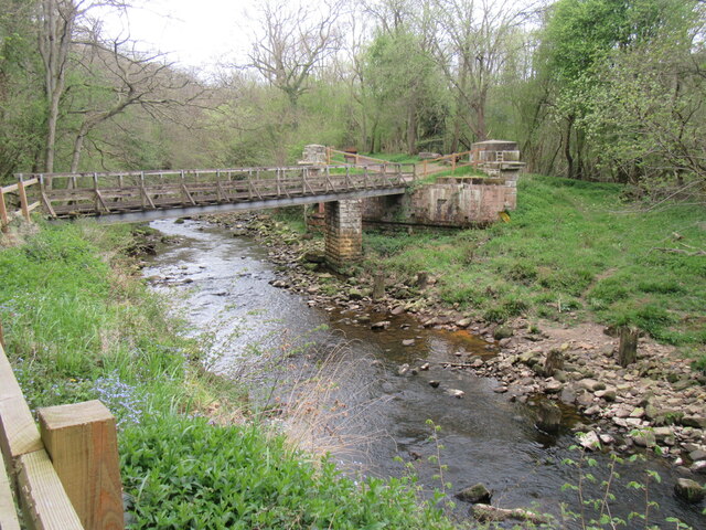
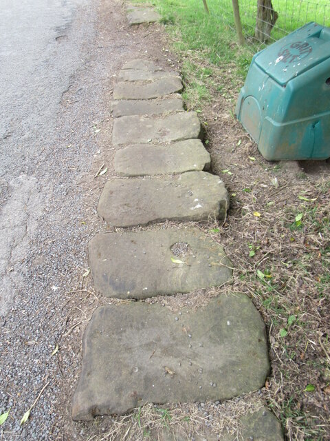
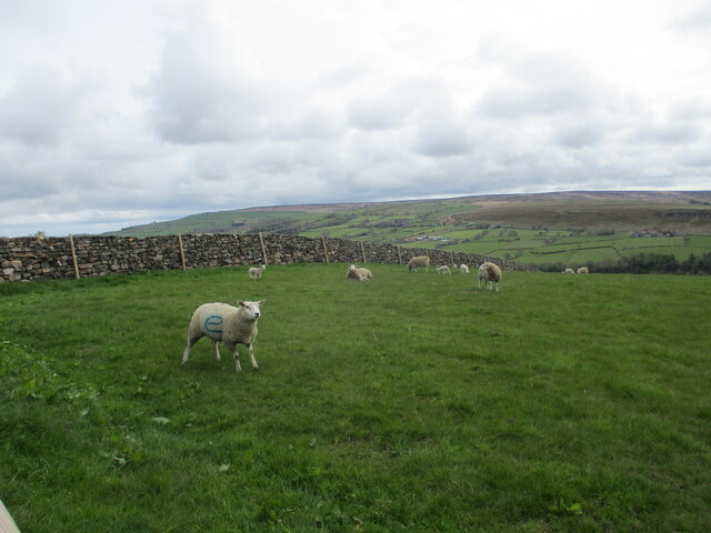
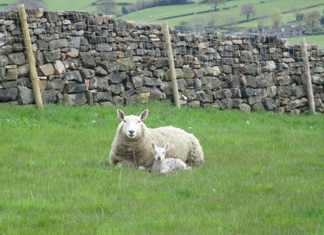
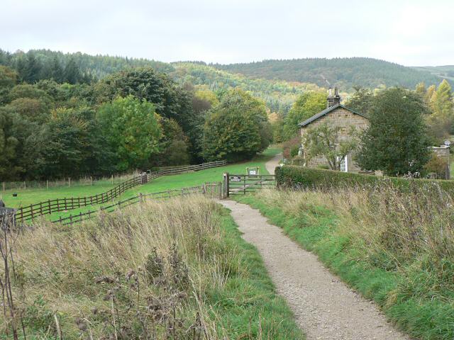
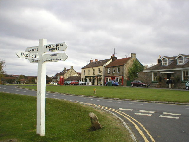
Purse Moor Images
Images are sourced within 2km of 54.405365/-0.76129264 or Grid Reference NZ8001. Thanks to Geograph Open Source API. All images are credited.


Purse Moor is located at Grid Ref: NZ8001 (Lat: 54.405365, Lng: -0.76129264)
Division: North Riding
Administrative County: North Yorkshire
District: Scarborough
Police Authority: North Yorkshire
What 3 Words
///verb.stumpy.chart. Near Sleights, North Yorkshire
Nearby Locations
Related Wikis
Beckhole railway station
Beckhole railway station was a railway station at Beck Hole in the North Yorkshire Moors on part of the original Whitby and Pickering Railway line. Although...

Birch Hall Inn
Birch Hall Inn is a public house founded around 1860 in Beck Hole in the North York Moors, England. It is designated as a Grade II listed building. It...
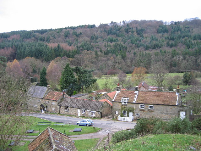
Beck Hole
Beck Hole is a small valley village in the Borough of Scarborough, North Yorkshire, England. The village lies within the Goathland civil parish and the...

Mallyan Spout
Mallyan Spout is a waterfall in North Yorkshire, England, the tallest waterfall in the North York Moors. == Geography == The waterfall is located in the...
Beckhole Incline
Beckhole Incline was a steep, rope-worked gradient on the railway line between Whitby and Pickering, in the North Riding of Yorkshire, England. Opened...

North York Moors
The North York Moors is an upland area in north-eastern Yorkshire, England. It contains one of the largest expanses of heather moorland in the United Kingdom...
Goathland
Goathland is a village and civil parish in the Scarborough district of North Yorkshire, England. Historically part of the North Riding of Yorkshire, it...

Goathland Bank Top railway station
Goathland Bank Top was a short lived, early, railway station in Goathland, North Yorkshire, England. The station at the top of the Beckhole Incline (sometimes...
Have you been to Purse Moor?
Leave your review of Purse Moor below (or comments, questions and feedback).